
Namur
Beschrijving
Province in southern Belgium.
Kaart

Paden in deze landsdeel
- GR12 - Amsterdam - ParisGPX
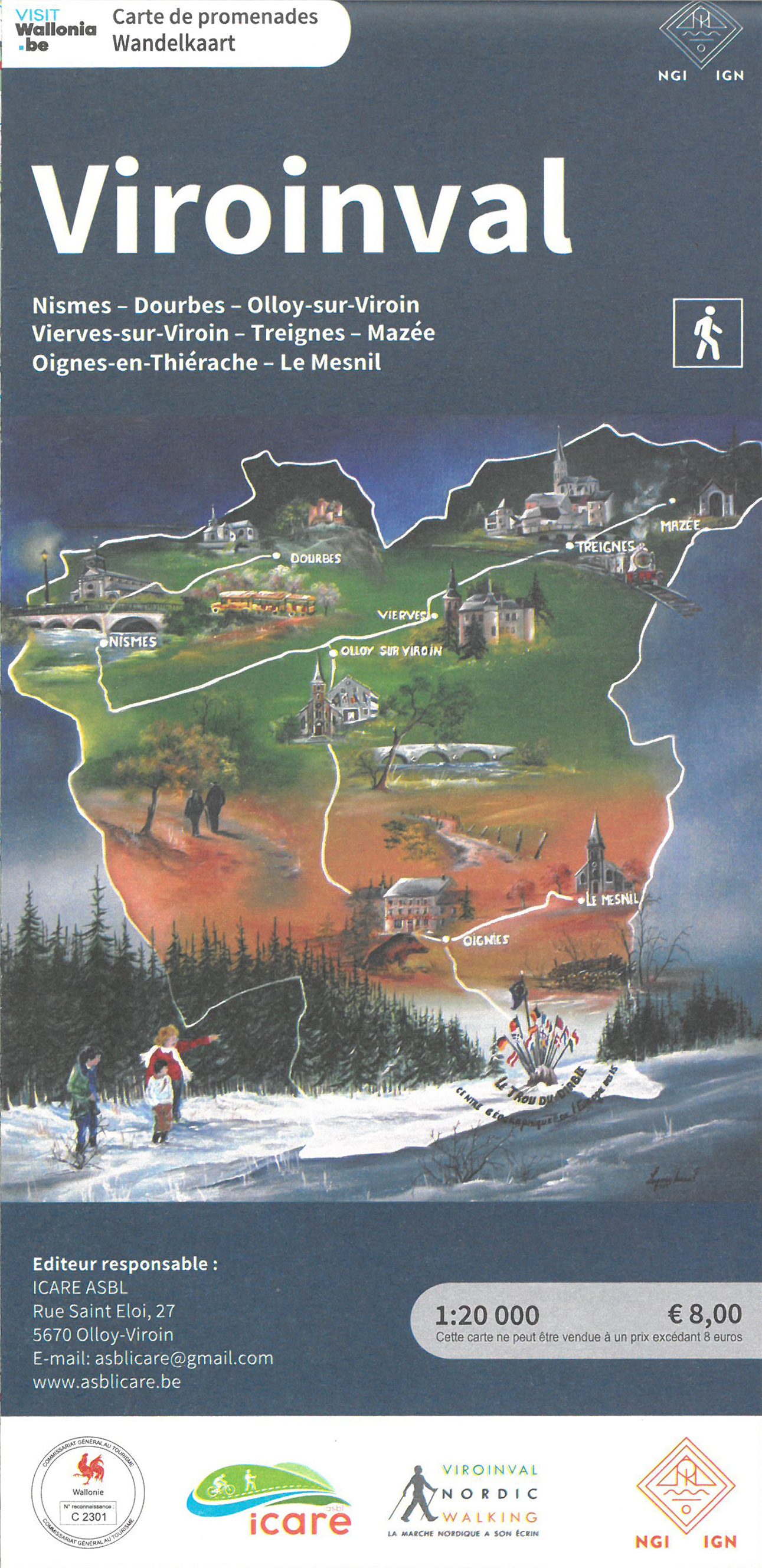
- GR125 - Tour de l'Entre-Sambre-et-MeuseGPX
- GR126 - Brussel-Namen-Membre sur SamoisGPX
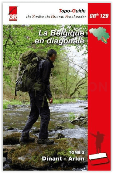
- GR129 - Dwars door BelgiëGPX
- GR15 - AE - Ardennes-EifelGPX
- GR16 - Sentier de la SemoisGPX
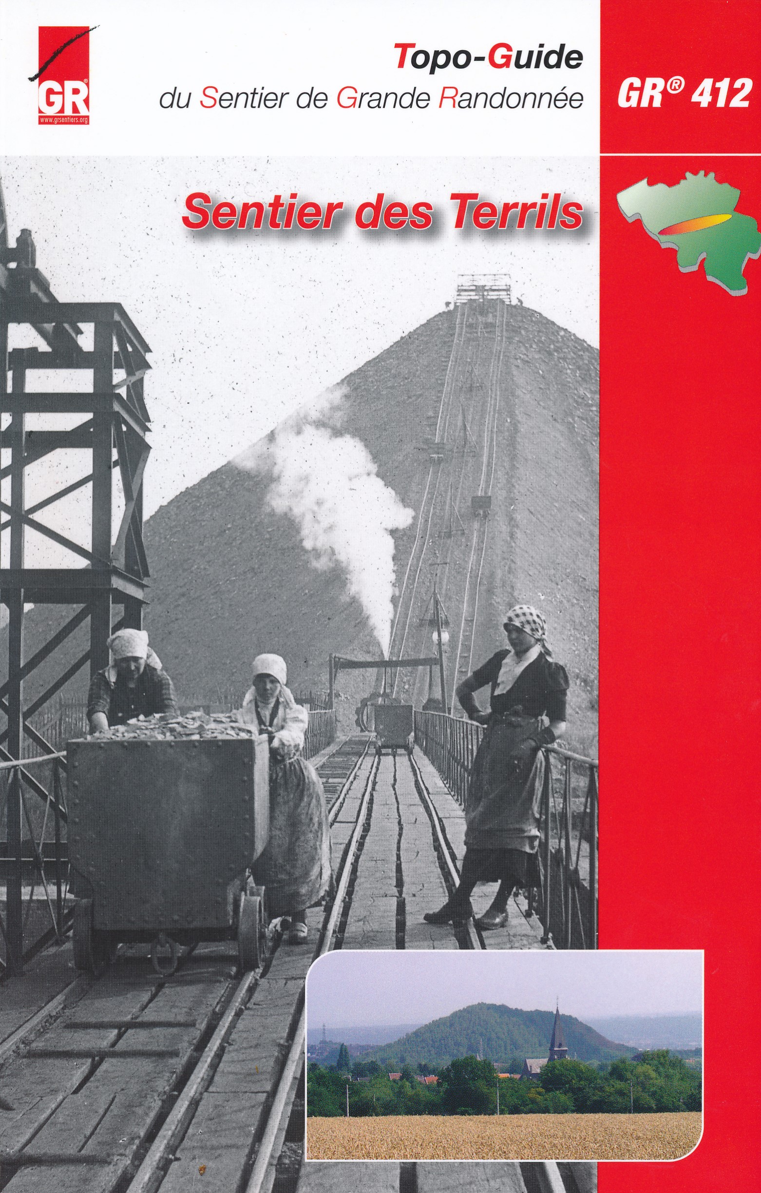
- GR412 - Sentier des TerrilsGPX
- GR564 - Kempen - CondrozGPX
- GR575 - Tour du Condroz NamuroisGPX
- GR577 - Tour de la FamenneGPX
- Via Gallia BelgicaGPX
- Via LimburgicaGPX
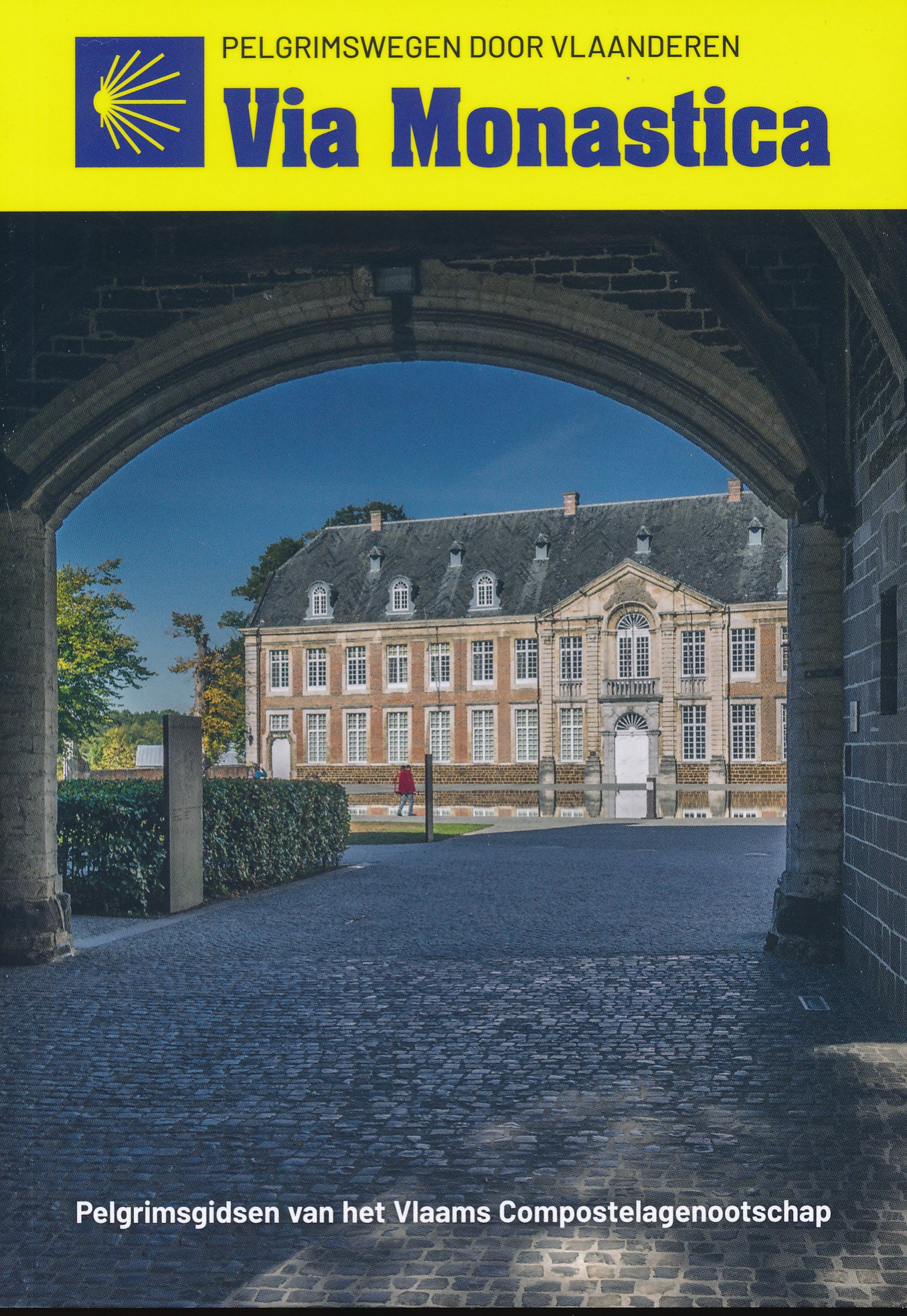
- Via MonasticaGPX
- Via Thiérache
Links
Feiten
Verslagen
Gidsen en kaarten
Overnachting
Organisaties
Reisorganisaties
GPS
Anders
Boeken
De Zwerver
Netherlands
2023
Netherlands
2023
De Zwerver
Netherlands
2012
Netherlands
2012
- Reisgids Kunstreiseführer Flandern | Dumont
- Der Namen Flandern gehört zu den glanzvollsten der europäischen Kulturgeschichte. Er steht für eine Städtelandschaft, die auf dem Kontinent ihresgleichen nicht hat: mit Brügge als historischem Zentrum, mit Gent und Antwerpen, die große Vergangenheit und dynamische Gegenwart eindrucksvoll verbinden. Kaum dahinter zurück stehen Löwen und Mecheln,... Read more
De Zwerver
Netherlands
2019
Netherlands
2019
De Zwerver
Netherlands
2012
Netherlands
2012
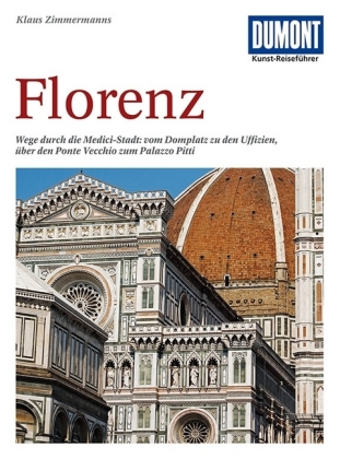
- Reisgids Kunstreiseführer Florence | Dumont
- Von woher man sich auch Florenz nähert, das erste, was man von der Toskana-Metropole wahrnimmt, ist die aus dem Dunstschleier emportauchende Domkuppel. Und mit dem weiten Blick von dort oben beginnt Klaus Zimmermanns seine umfassende Kulturgeschichte der Stadt am Arno. Dabei bürgen Namen wie Giotto, Fra Angelico, Botticelli, Brunelleschi,... Read more
De Zwerver
Netherlands
2021
Netherlands
2021
De Zwerver
Netherlands
2023
Netherlands
2023
De Zwerver
Netherlands
2020
Netherlands
2020
- Wandelgids Usedom | Rother Bergverlag
- Uitstekende wandelgids met een groot aantal dagtochten in dal en hooggebergte. Met praktische informatie en beperkt kaartmateriaal! Wandelingen in verschillende zwaarte weergegeven in rood/blauw/zwart. Die Insel Usedom mit zahlreichen Sandstränden und den Kaiserbädern mit seinen Villen aus dem 19. Jahrhundert ist schon seit jeher ein beliebtes... Read more
De Zwerver
Netherlands
2023
Netherlands
2023
De Zwerver
Netherlands
2018
Netherlands
2018
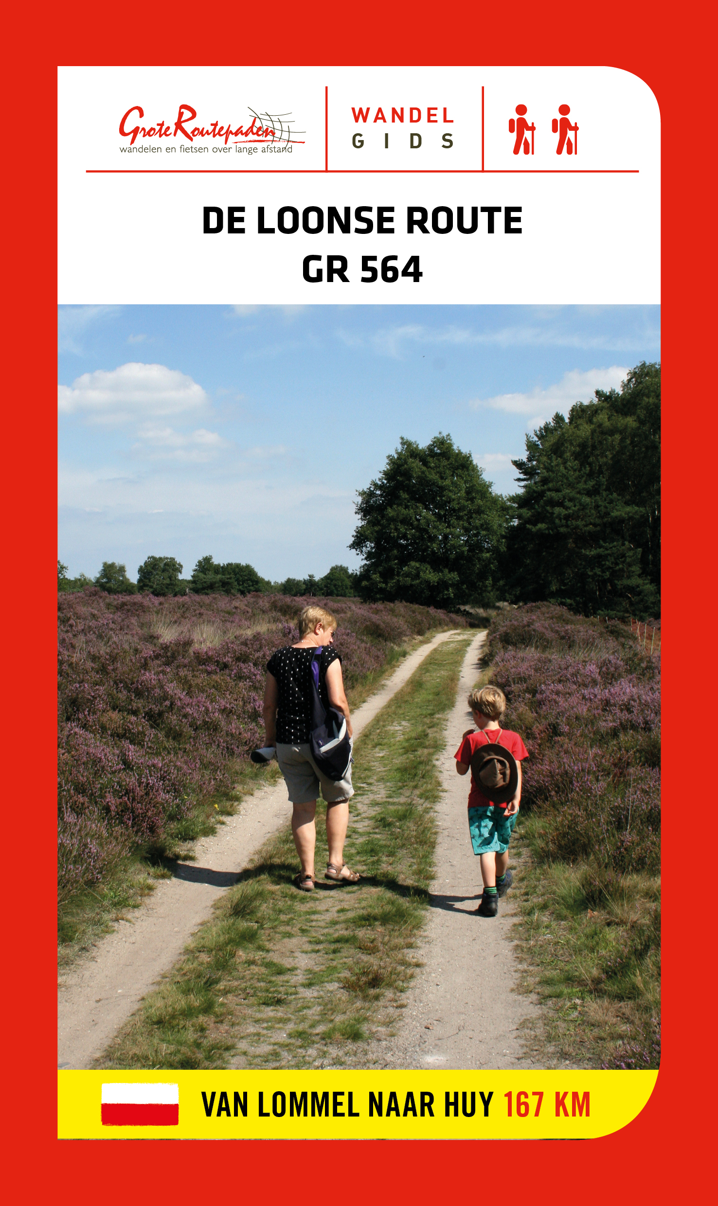
- Wandelgids GR 564 De Loonse route | Grote Routepaden
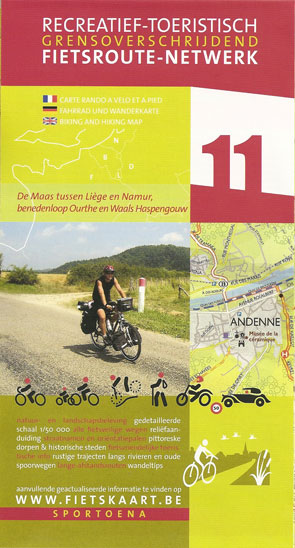
- GR 564 is afwisseling en contrast. Duinen en vennen, zand en water, heide en bos in de Limburgse Kempen. Natte beemden, fruitplantages en maïs; grote vierkanthoeven en kleine dorpen met spitse kerktorens. In Haspengouw word je telkens verrast door weidse vergezichten. Je steekt de taalgrens over en duikt de vallei van de Mehaigne in: hoogtes en... Read more
Kaarten
De Zwerver
Netherlands
Netherlands
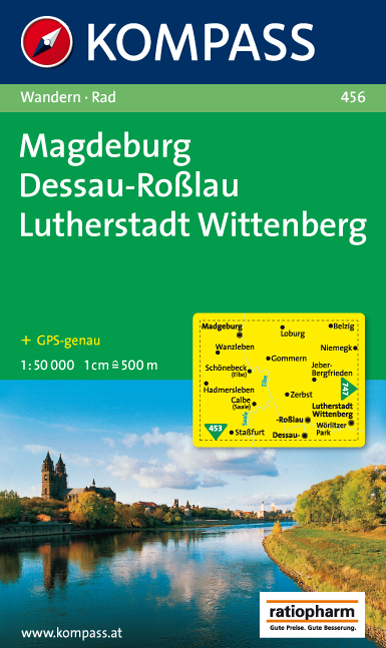
- Wandelkaart 456 Magdeburg - Dessau - Lutherstadt Wittenberg | Kompass
- Goede wandelkaart met vrijwel alle topografische details en ingetekende routes. Ook met symbolen voor toeristische bezienswaardigheden, register. Berghutten duidelijk weergegeven. Gevaarlijke wandelroutes zijn goed herkenbaar. GPS toepasbaar. KOMPASS-Wanderkarten enthalten alles Wissenswerte für Wanderer wie aktuelle Wanderwege mit... Read more
De Zwerver
Netherlands
Netherlands
- Also available from:
- Stanfords, United Kingdom

Stanfords
United Kingdom
United Kingdom
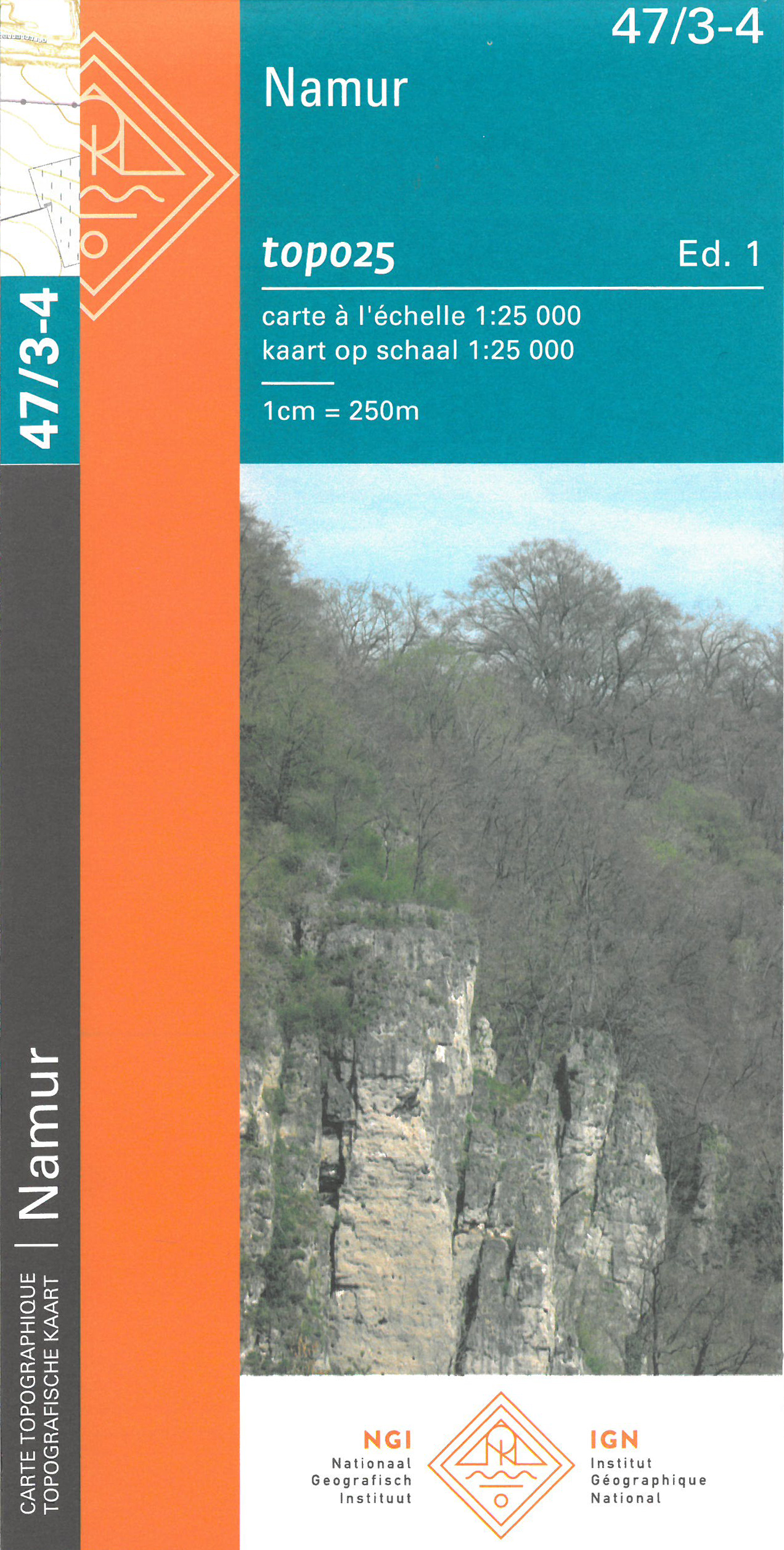
- Namur NGI Topo 47/3-4
- Topographical survey of Belgium at 1:20,000 from Nationaal Geografisch Instituut / Institut Géographique National, the country’s national survey organization. Each 20K map covers one quarter of the corresponding 1:50,000 map (with adjustments in the border and coastal areas). The maps provide all the information expected of topographic mapping... Read more
De Zwerver
Netherlands
2015
Netherlands
2015
De Zwerver
Netherlands
Netherlands
De Zwerver
Netherlands
Netherlands
De Zwerver
Netherlands
2019
Netherlands
2019
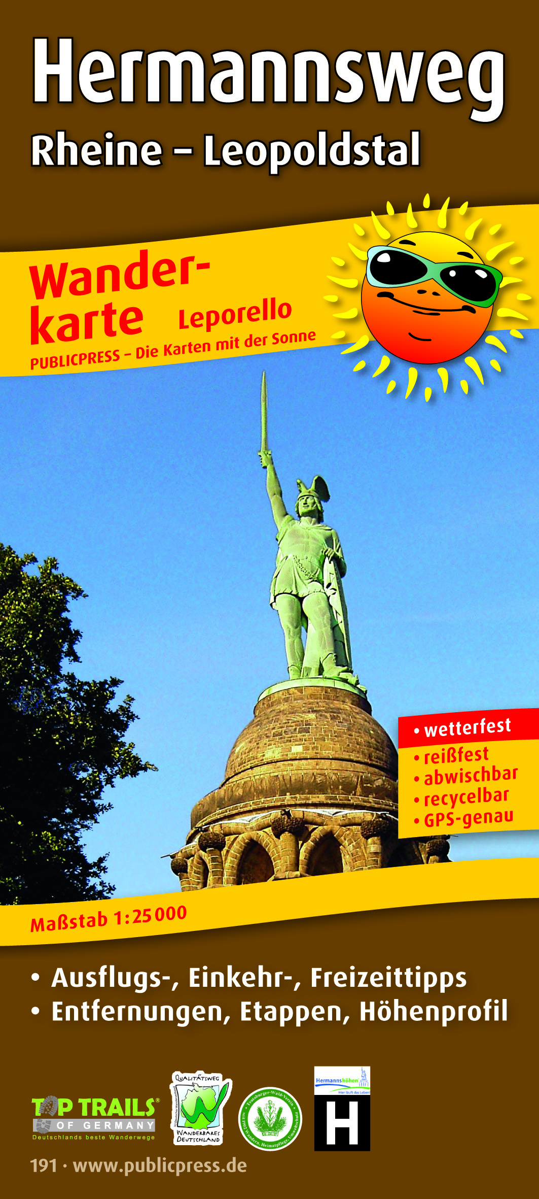
- Wandelkaart Hermannsweg | Publicpress
- Wandelkaart met hoogtelijnen en toeristische informatie van de Hermannsweg, een wandeling van 158.5 km door het Teutoburger Wald, de kaart is geschikt voor gebruik met GPS. Scheurvast en weerbestendig. Met tips voor uitstapjes, gastronomie en recreatie. Dem 160 km langen Hermannsweg ist die Wanderkarte Hermannsweg gewidmet. Der auf dem Kamm des... Read more
De Zwerver
Netherlands
Netherlands