
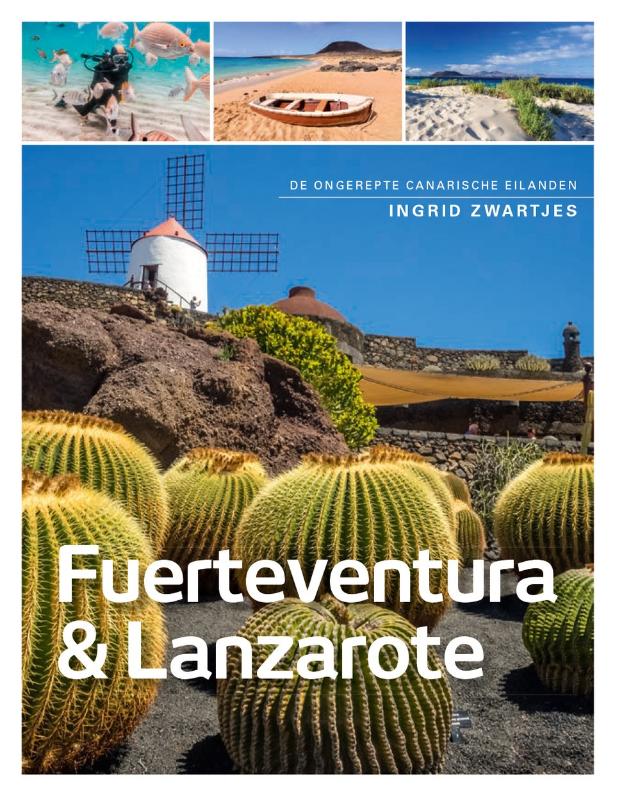
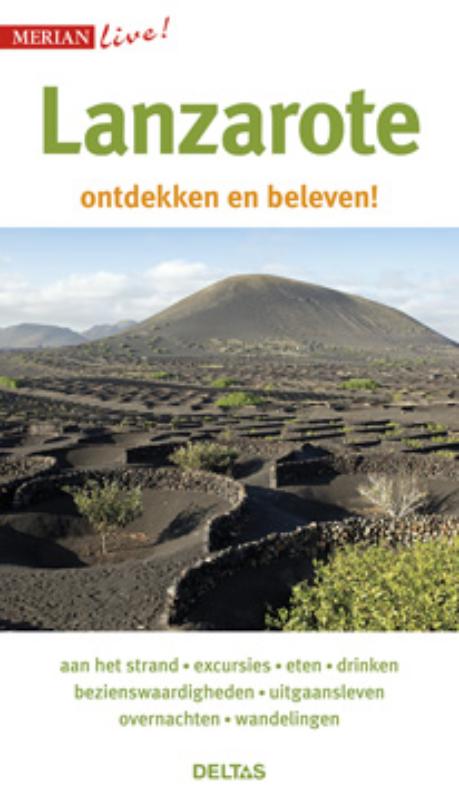
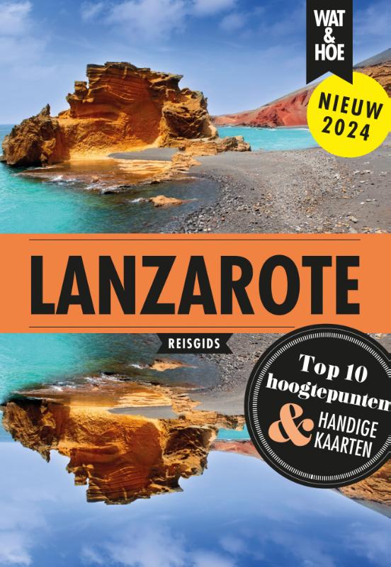
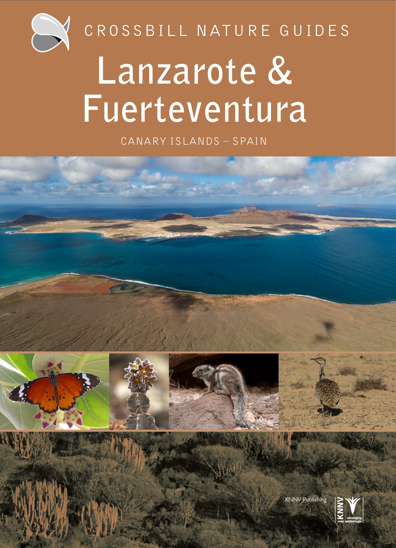
Lanzarote, Canarias
Beschrijving

Lanzarote is not a well-known hiking destination. Most people land on this Canary Island to enjoy sun and sea.
With a good map and some time you will find nice niches on this island. For instance the string of volcanic pimples in the black sea of solidified lava in the Parque Nacional de Timanfaya. Or the naked and arid hill ridges in the south. Also, the coastline has some nice corners, but for the endless string of holiday resorts.
Check the complete list of Canary Islands.
Kaart

Links
Feiten
Verslagen
Gidsen en kaarten
Overnachting
Organisaties
Reisorganisaties
GPS
Anders
Boeken
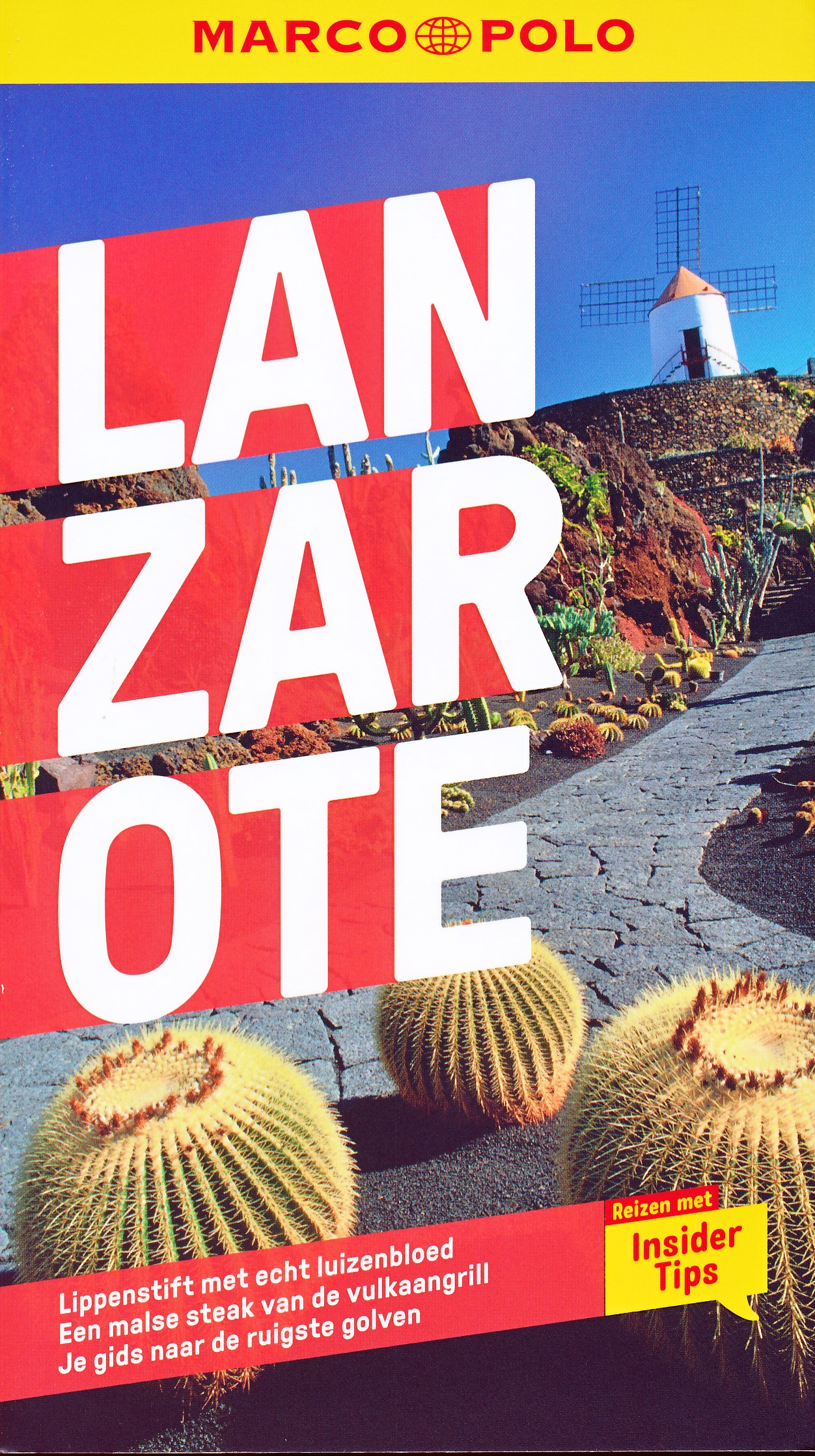
De Zwerver
Netherlands
2018
Netherlands
2018
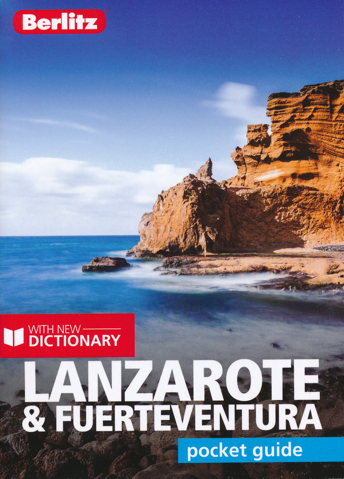
- Reisgids Pocket Guide Lanzarote - Fuertaventura | Berlitz
- Pocket Guide Berlitz is een handzaam engelstalige reisgids met bezienswaardigheden, kaartjes, hotels en restaurants. Past makkelijk in de binnenzak. Berlitz Pocket Guide Lanzarote & Fuerteventura combines informative text with vivid colour photography to uncover two of the most popular islands to visit in the Canary Islands archipelago. It... Read more
De Zwerver
Netherlands
2022
Netherlands
2022
De Zwerver
Netherlands
2023
Netherlands
2023
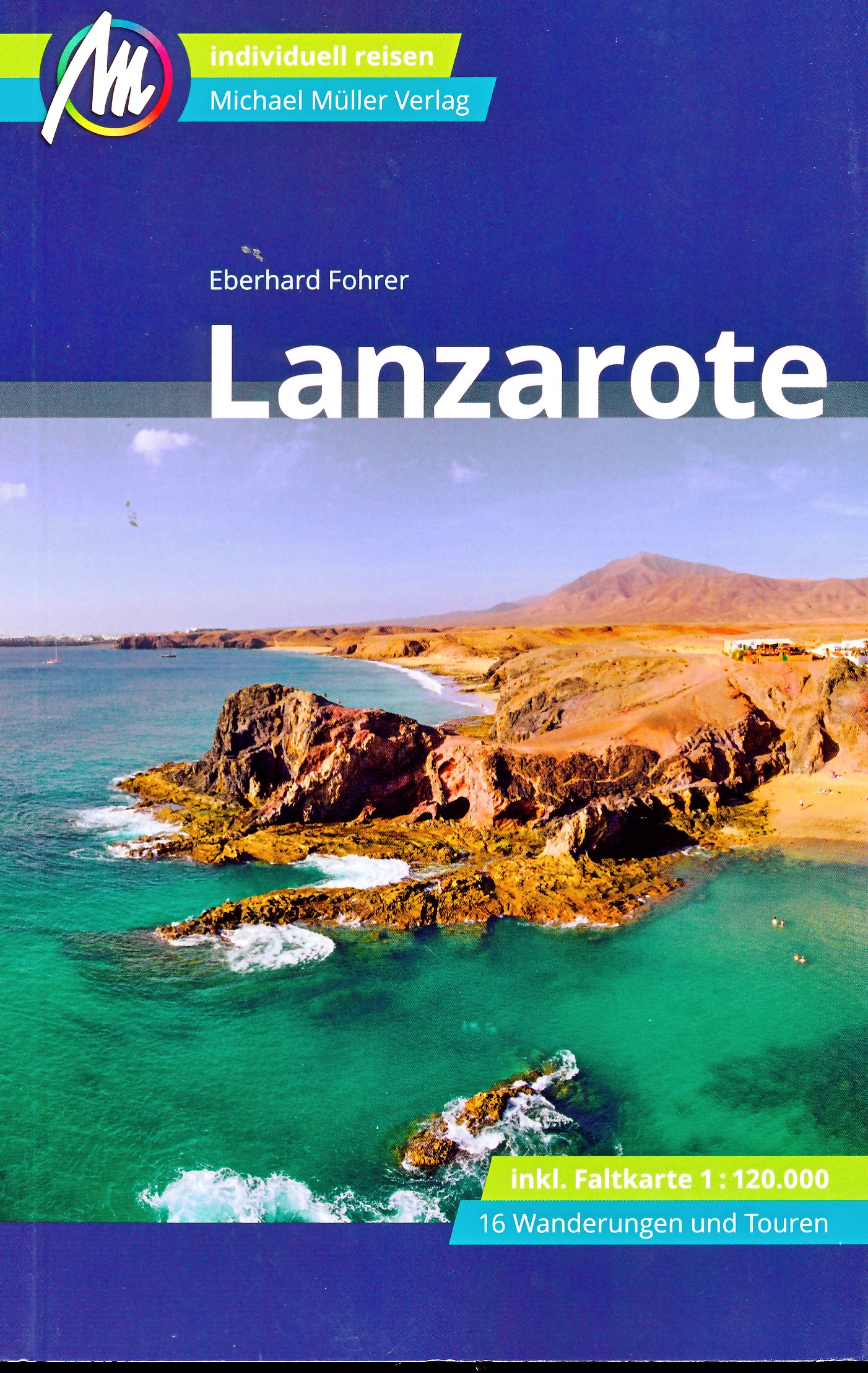
De Zwerver
Netherlands
2022
Netherlands
2022
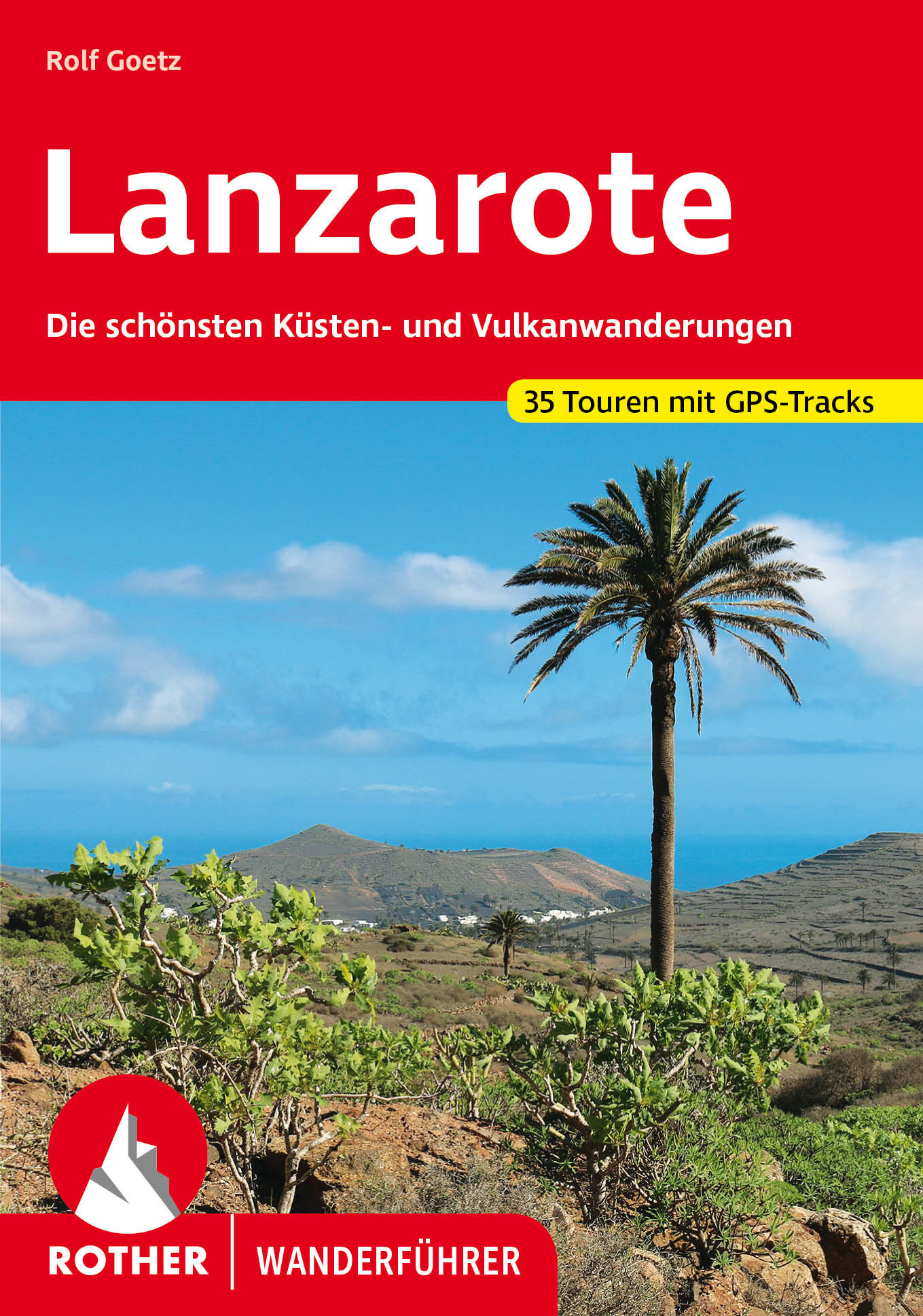
- Wandelgids Lanzarote | Rother Bergverlag
- Goede - Duitstalige - wandelgids met veel dagtochten verspreid over het gebied. Beschrijvingen zijn voldoende en praktische informatie is handig. Kaartjes beperkt. Die »Feuerinsel« ist ganz sicher das eigenwilligste Kanareneiland. Rund 300 Vulkane hinterließen auf der Insel eine ausgeglühte Mondlandschaft, wie sie bizarrer nicht sein könnte.... Read more

De Zwerver
Netherlands
2016
Netherlands
2016
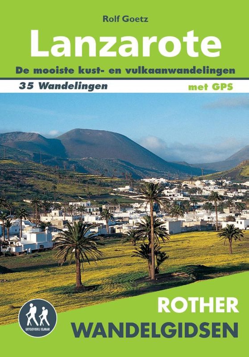
- Wandelgids Lanzarote | Uitgeverij Elmar
- de mooiste kust- en vulkaanwandelingen Read more
- Also available from:
- Bol.com, Netherlands
- Bol.com, Belgium
Bol.com
Netherlands
2016
Netherlands
2016
- Rother Wandelgidsen - Lanzarote
- De Rother wandelgids Lanzarote beschrijft 35 fantastische wandelingen over dit vulkaneneiland. Natuurliefhebbers en wandelaars kijken hun ogen uit tijdens de wandelingen tussen de kraters en langs de onvoorspelbare kuststroken. De vulkanen hebben hun sporen achtergelaten en zorgen voor spectaculaire uitzichten tijdens uw wandelvakantie op... Read more
Bol.com
Belgium
2016
Belgium
2016
- Rother Wandelgidsen - Lanzarote
- De Rother wandelgids Lanzarote beschrijft 35 fantastische wandelingen over dit vulkaneneiland. Natuurliefhebbers en wandelaars kijken hun ogen uit tijdens de wandelingen tussen de kraters en langs de onvoorspelbare kuststroken. De vulkanen hebben hun sporen achtergelaten en zorgen voor spectaculaire uitzichten tijdens uw wandelvakantie op... Read more
Bol.com
Netherlands
Netherlands
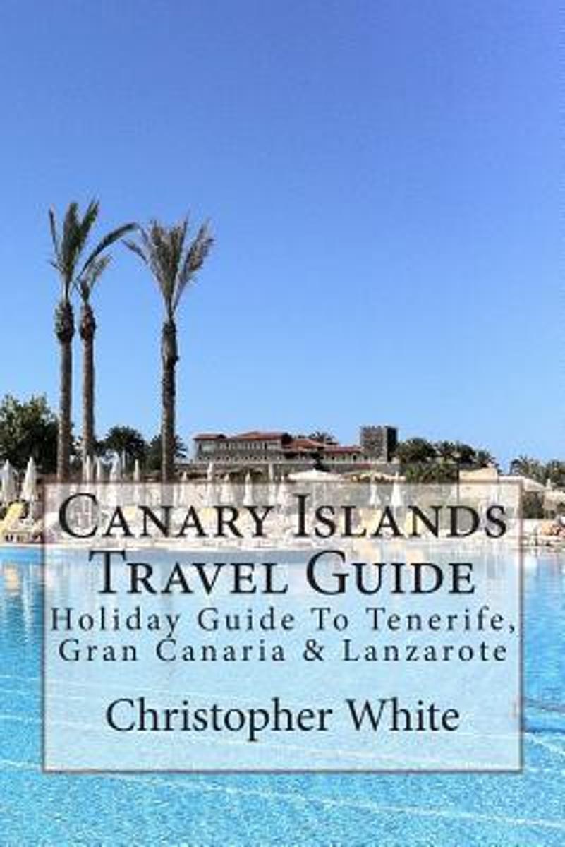
- Canary Islands Travel Guide
- The Canary Islands (Spanish: Islas Canarias) are an Atlantic territory of Spain on the west coast of Africa, near to Morocco, Cape Verde and the archipelagos of the Azores Islands and Madeira Islands.Gran Canaria The largest island by population, its capital city (Las Palmas de Gran Canaria) has the shared title of capital of the Canaries.... Read more
- Also available from:
- Bol.com, Belgium
Bol.com
Belgium
Belgium
- Canary Islands Travel Guide
- The Canary Islands (Spanish: Islas Canarias) are an Atlantic territory of Spain on the west coast of Africa, near to Morocco, Cape Verde and the archipelagos of the Azores Islands and Madeira Islands.Gran Canaria The largest island by population, its capital city (Las Palmas de Gran Canaria) has the shared title of capital of the Canaries.... Read more
Bol.com
Netherlands
2016
Netherlands
2016
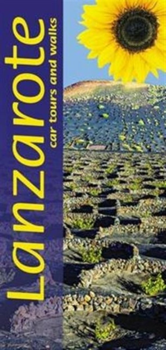
- Landscapes of Lanzarote
- This new 6th edition of Sunflower's popular guide to Lanzarote has been reformatted to feature almost double the number of walks without sacrificing any of the material from the previous book such as the day-trip to neighbouring Fuerteventura. Here are some highlights Key features: - 50 long and short walks - 16 short 'picnic' strolls ideal... Read more
- Also available from:
- Bol.com, Belgium
- Stanfords, United Kingdom
Bol.com
Belgium
2016
Belgium
2016
- Landscapes of Lanzarote
- This new 6th edition of Sunflower's popular guide to Lanzarote has been reformatted to feature almost double the number of walks without sacrificing any of the material from the previous book such as the day-trip to neighbouring Fuerteventura. Here are some highlights Key features: - 50 long and short walks - 16 short 'picnic' strolls ideal... Read more

Stanfords
United Kingdom
2016
United Kingdom
2016
- Lanzarote Sunflower Landscape Guide
- This new 6th edition of Sunflower`s popular guide to Lanzarote has been reformatted to feature almost double the number of walks without sacrificing any of the material from the previous book such as the day-trip to neighbouring Fuerteventura. Here are some highlights Key features: - 50 long and short walks - 16 short `picnic` strolls ideal... Read more
De Zwerver
Netherlands
2014
Netherlands
2014
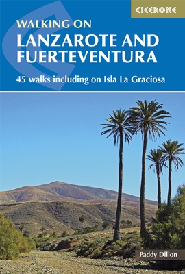
- Wandelgids Walking on Lanzarote and Fuerteventura | Cicerone
- One of Paddy Dillon's five-volume series to the Canaries, this book offers 45 walks on Lanzarote and Fuerteventura, including 14 walks on the long-distance GR 131 trail, which crosses both islands. Lanzarote has a fascinating volcanic national park; Fuerteventura has famous golden beaches. Both islands are crossed by new trails. Read more
- Also available from:
- Bol.com, Netherlands
- Bol.com, Belgium
- Stanfords, United Kingdom
- The Book Depository, United Kingdom

Bol.com
Netherlands
2014
Netherlands
2014
- Walking on Lanzarote and Fuerteventura
- This book describes 21 walks on Lanzarote, 2 on Isla La Graciosa (off Lanzarote's northern coast) and 22 on Fuerteventura, including 14 walks on the GR 131 trail, which crosses both islands including Isla de Lobos at the tip of Fuerteventura. These traditional routes span a range of arid, agricultural and natural areas. Walks feature hill and... Read more
Bol.com
Belgium
2014
Belgium
2014
- Walking on Lanzarote and Fuerteventura
- This book describes 21 walks on Lanzarote, 2 on Isla La Graciosa (off Lanzarote's northern coast) and 22 on Fuerteventura, including 14 walks on the GR 131 trail, which crosses both islands including Isla de Lobos at the tip of Fuerteventura. These traditional routes span a range of arid, agricultural and natural areas. Walks feature hill and... Read more

Stanfords
United Kingdom
2014
United Kingdom
2014
- Lanzarote and Fuerteventura - 45 Walks Including Isla La Graciosa
- Accomplished and renowned walker Paddy Dillon’s Cicerone guide to Walking in Lanzarote and Fuerteventura is the complete guide to walking one of Europe’s most popular island destinations. The seven Canary Islands seem to bask in everlasting sunshine and have been referred to as the Fortune Islands. Away from the bustling resort, walkers can... Read more

The Book Depository
United Kingdom
2014
United Kingdom
2014
- Walking on Lanzarote and Fuerteventura
- Including sections of the GR131 long-distance trail Read more
Kaarten

De Zwerver
Netherlands
2015
Netherlands
2015
- Wegenkaart - landkaart Spanje | Borch
- Espana (Spanien) 1 : 1 875 000 ab 9.9 EURO Espana del Oeste, Espana del Este, Islas Canarias Borch Map. 9. Auflage Read more

Bol.com
Netherlands
Netherlands
- Kanaren/DVD-ROM
- Deze digitale wandel-, fiets- en skiroute kaarten van Kompass op CD of DVD zijn bruikbaar met GPS • je kunt inzoomen op de kaart tot een schaal van 1: 10 000 • prima manier om je eigen route te plannen, met hoogteprofielen • zeer eenvoudig om de gekozen route te printen of te downloaden op mobiele telefoon of PDA • vlieg vogelvlucht over een... Read more
- Also available from:
- Bol.com, Belgium
Bol.com
Belgium
Belgium
- Kanaren/DVD-ROM
- Deze digitale wandel-, fiets- en skiroute kaarten van Kompass op CD of DVD zijn bruikbaar met GPS • je kunt inzoomen op de kaart tot een schaal van 1: 10 000 • prima manier om je eigen route te plannen, met hoogteprofielen • zeer eenvoudig om de gekozen route te printen of te downloaden op mobiele telefoon of PDA • vlieg vogelvlucht over een... Read more

Bol.com
Netherlands
Netherlands
- Lanzarote WK241
- Toeristische kaart voor wandelen, fietsen en vrije tijd met activiteitengids en stadsplattegronden • goed leesbare schaal van 1:50 000 • te gebruiken met GPS • met praktische informatie over de regio • wandel- en fietspaden • aanbevolen routes • kastelen • uitzichtpunten • stranden en baaien • toeristische informatie • veel topografische... Read more
- Also available from:
- Bol.com, Belgium
Bol.com
Belgium
Belgium
- Lanzarote WK241
- Toeristische kaart voor wandelen, fietsen en vrije tijd met activiteitengids en stadsplattegronden • goed leesbare schaal van 1:50 000 • te gebruiken met GPS • met praktische informatie over de regio • wandel- en fietspaden • aanbevolen routes • kastelen • uitzichtpunten • stranden en baaien • toeristische informatie • veel topografische... Read more

Stanfords
United Kingdom
United Kingdom
- Haria 25K Lanzarote CNIG Topographic Survey Map No. 1080-IV
- Topographic coverage of the Canary Islands at 1:25,000 published by the Instituto Geográfico Nacional – Centro Nacional de Información Geografica, the country’s civilian survey organization. The maps have contours at 10m intervals and colouring and/or graphics to show different types of vegetation or land use. Boundaries of national parks and... Read more
Stanfords
United Kingdom
United Kingdom
- Tinajo 25K Lanzarote CNIG Topographic Survey Map No. 1082-I
- Topographic coverage of the Canary Islands at 1:25,000 published by the Instituto Geográfico Nacional – Centro Nacional de Información Geografica, the country’s civilian survey organization. The maps have contours at 10m intervals and colouring and/or graphics to show different types of vegetation or land use. Boundaries of national parks and... Read more
Stanfords
United Kingdom
United Kingdom
- Teguise CNIG Topo 1082-2
- Topographic coverage of the Canary Islands at 1:25,000 published by the Instituto Geográfico Nacional – Centro Nacional de Información Geografica, the country’s civilian survey organization. The maps have contours at 10m intervals and colouring and/or graphics to show different types of vegetation or land use. Boundaries of national parks and... Read more

Stanfords
United Kingdom
United Kingdom
- Yaiza CNIG Topo 1081
- Yaiza area of Lanzarote, map No. 1081 in the topographic coverage of the Canary Islands at 1:50,000 from the Instituto Geográfico Nacional - Centro Nacional de Información Geograficá, Spain’s civilian survey organization. Maps in the MTN50 (Mapa Topográfico Nacional) series begun in late 1990s have contours at 20m intervals enhanced by relief... Read more
Stanfords
United Kingdom
United Kingdom
- Timanfaya 25K Lanzarote CNIG Topographic Survey Map No. 1081-III
- Topographic coverage of the Canary Islands at 1:25,000 published by the Instituto Geográfico Nacional – Centro Nacional de Información Geografica, the country’s civilian survey organization. The maps have contours at 10m intervals and colouring and/or graphics to show different types of vegetation or land use. Boundaries of national parks and... Read more
Stanfords
United Kingdom
United Kingdom
- Tias 25K Lanzarote CNIG Topographic Survey Map No. 1082-III
- Topographic coverage of the Canary Islands at 1:25,000 published by the Instituto Geográfico Nacional – Centro Nacional de Información Geografica, the country’s civilian survey organization. The maps have contours at 10m intervals and colouring and/or graphics to show different types of vegetation or land use. Boundaries of national parks and... Read more
Stanfords
United Kingdom
United Kingdom
- Arrecife CNIG Topo 1082
- Arrecife area of Lanzarote, map No. 1082 in the topographic coverage of the Canary Islands at 1:50,000 from the Instituto Geográfico Nacional - Centro Nacional de Información Geograficá, Spain’s civilian survey organization. Maps in the MTN50 (Mapa Topográfico Nacional) series begun in late 1990s have contours at 20m intervals enhanced by... Read more
Stanfords
United Kingdom
United Kingdom
- Yaiza 25K Lanzarote CNIG Topographic Survey Map No. 1081-IV
- Topographic coverage of the Canary Islands at 1:25,000 published by the Instituto Geográfico Nacional – Centro Nacional de Información Geografica, the country’s civilian survey organization. The maps have contours at 10m intervals and colouring and/or graphics to show different types of vegetation or land use. Boundaries of national parks and... Read more
Stanfords
United Kingdom
United Kingdom
- Arrecife 25K Lanzarote CNIG Topographic Survey Map No. 1082-IV
- Topographic coverage of the Canary Islands at 1:25,000 published by the Instituto Geográfico Nacional – Centro Nacional de Información Geografica, the country’s civilian survey organization. The maps have contours at 10m intervals and colouring and/or graphics to show different types of vegetation or land use. Boundaries of national parks and... Read more
Stanfords
United Kingdom
United Kingdom
- Playa Blanca CNIG Topo 1084
- Playa Blanca area of Lanzarote, map No. 1084 in the topographic coverage of the Canary Islands at 1:50,000 from the Instituto Geográfico Nacional - Centro Nacional de Información Geograficá, Spain’s civilian survey organization. Maps in the MTN50 (Mapa Topográfico Nacional) series begun in late 1990s have contours at 20m intervals enhanced by... Read more
Stanfords
United Kingdom
United Kingdom
- Playa Blanca CNIG Topo 1084-1/2
- Topographic coverage of the Canary Islands at 1:25,000 published by the Instituto Geográfico Nacional – Centro Nacional de Información Geografica, the country’s civilian survey organization. The maps have contours at 10m intervals and colouring and/or graphics to show different types of vegetation or land use. Boundaries of national parks and... Read more