
Tenerife, Canarias
Beschrijving
 Main attraction of the largest of the Canary Islands is El Teide, the still fuming (albeit very little) volcano. This mountain is Spain's highest, reaching up 3718 m. The climb is easy but restrictions apply to control the influx of tourists, who can easily reach the summit by cable car.
Much less frequented is the impressive Pico Viejo, the old volcano, adjacent to El Teide. This volcano complex is situated in the centre of a huge caldera, a colourful plain at height of 2000 m, formed by an ancient explosion, a beautiful surrounding for moon-like walks.
Tenerife has much more to offer to the hiker. There are ravines, mountain massifs, lunar landscapes, canals for easy level hiking, a lush green north coast, subtropical vegetation. The infrastructure of the island is good, helping you to reach your hiking destinations and finding a place to sleep. Maps and guides are available in many languages.
Apart from the GR131, the main trail of Tenerife, the island has a pilgrimage way: the Camino de Santiago de Tenerife, connecting Puerto Santiago on the west coast to Santa Cruz de Tenerife from where many ferries depart. Many more local trails explore the island, often climbing and descending a lot.
Check the complete list of Canary Islands.
Kaart

Paden in deze regio
Links
Feiten
Verslagen
Gidsen en kaarten
Overnachting
Organisaties
Reisorganisaties
GPS
Anders
Boeken
Netherlands
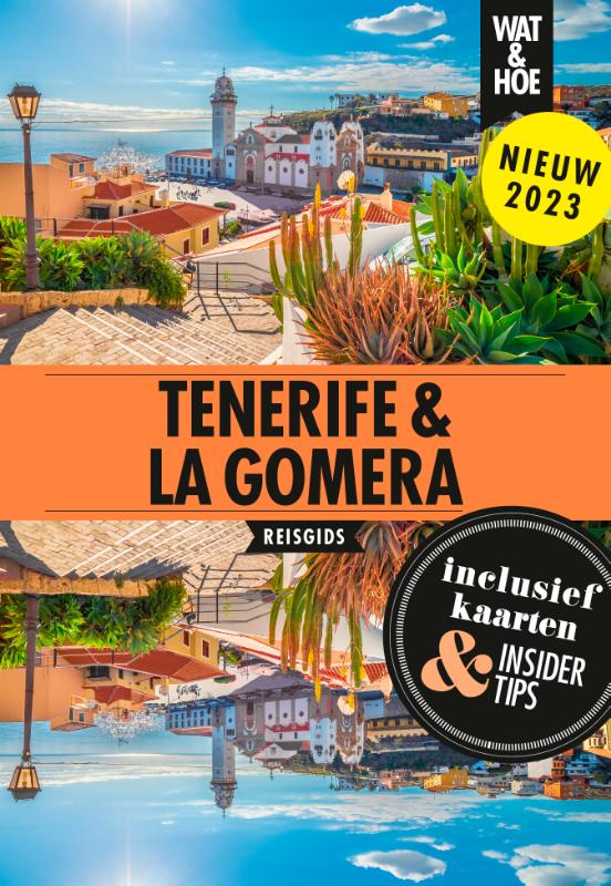
2023
Netherlands
2015
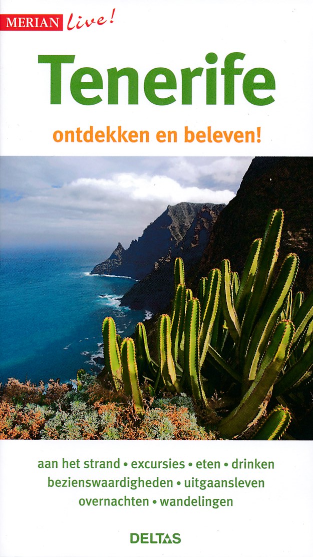
- Reisgids Merian live Tenerife Merian live! | Deltas
- Handige en overzichtelijke, kleine reisgids voor een eerste kennismaking met het land. Voor- en achterin uitklapbare kaart. Aandacht voor o.a. taal, festivals en eten en drinken. Prettig formaat en toch met veel foto’s. Nederlands Read more
Netherlands
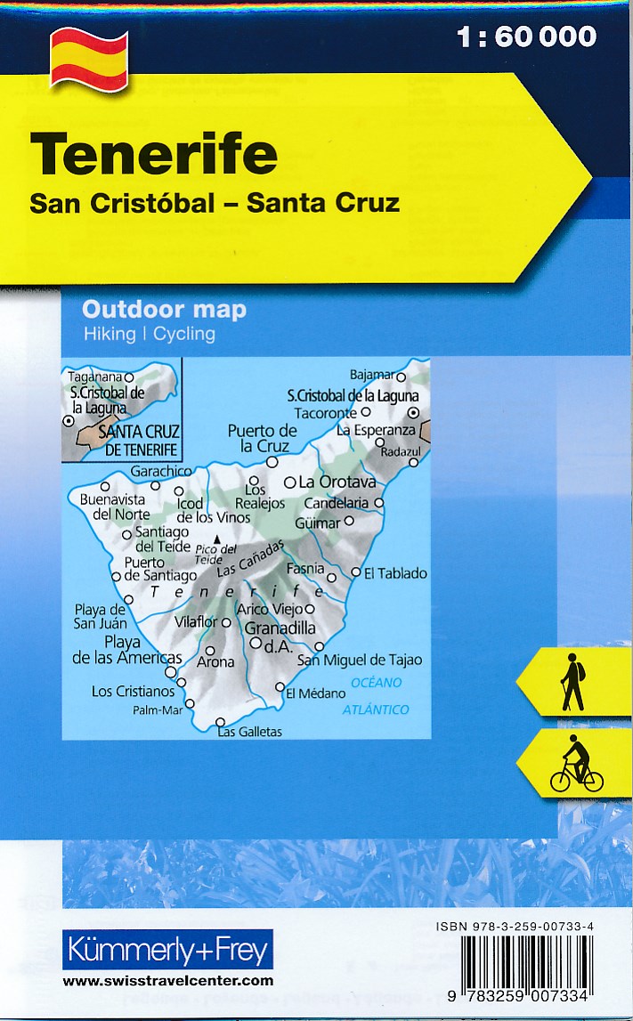
- Wandelkaart - Fietskaart Outdoorkarte Tenerife | Kümmerly & Frey
- Outdoorkarte Spanien, 1:60 000 Wandern Rad Free Map on Smartphone included Kümmerly und Frey Karten. 1. Auflage, Laufzeit bis 2018. Read more
Netherlands
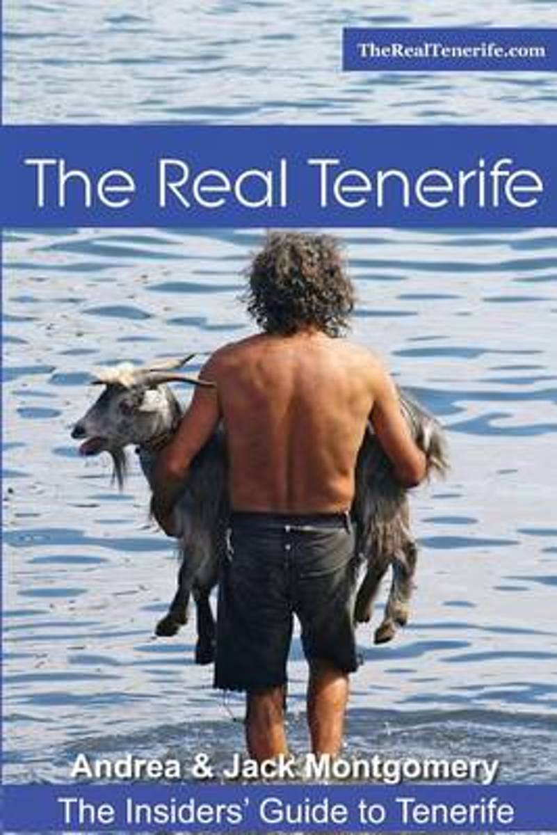
- The Real Tenerife
- The most comprehensive guide to Tenerife's resorts, towns and villages available in the English language, written with insight and passion by travel writers who have spent years treading the streets of every town and village, trekking along goat trails in the mountains and revelling at fiestas until dawn (all in the name of research). In short... Read more
- Also available from:
- Bol.com, Belgium
Belgium
- The Real Tenerife
- The most comprehensive guide to Tenerife's resorts, towns and villages available in the English language, written with insight and passion by travel writers who have spent years treading the streets of every town and village, trekking along goat trails in the mountains and revelling at fiestas until dawn (all in the name of research). In short... Read more
Netherlands
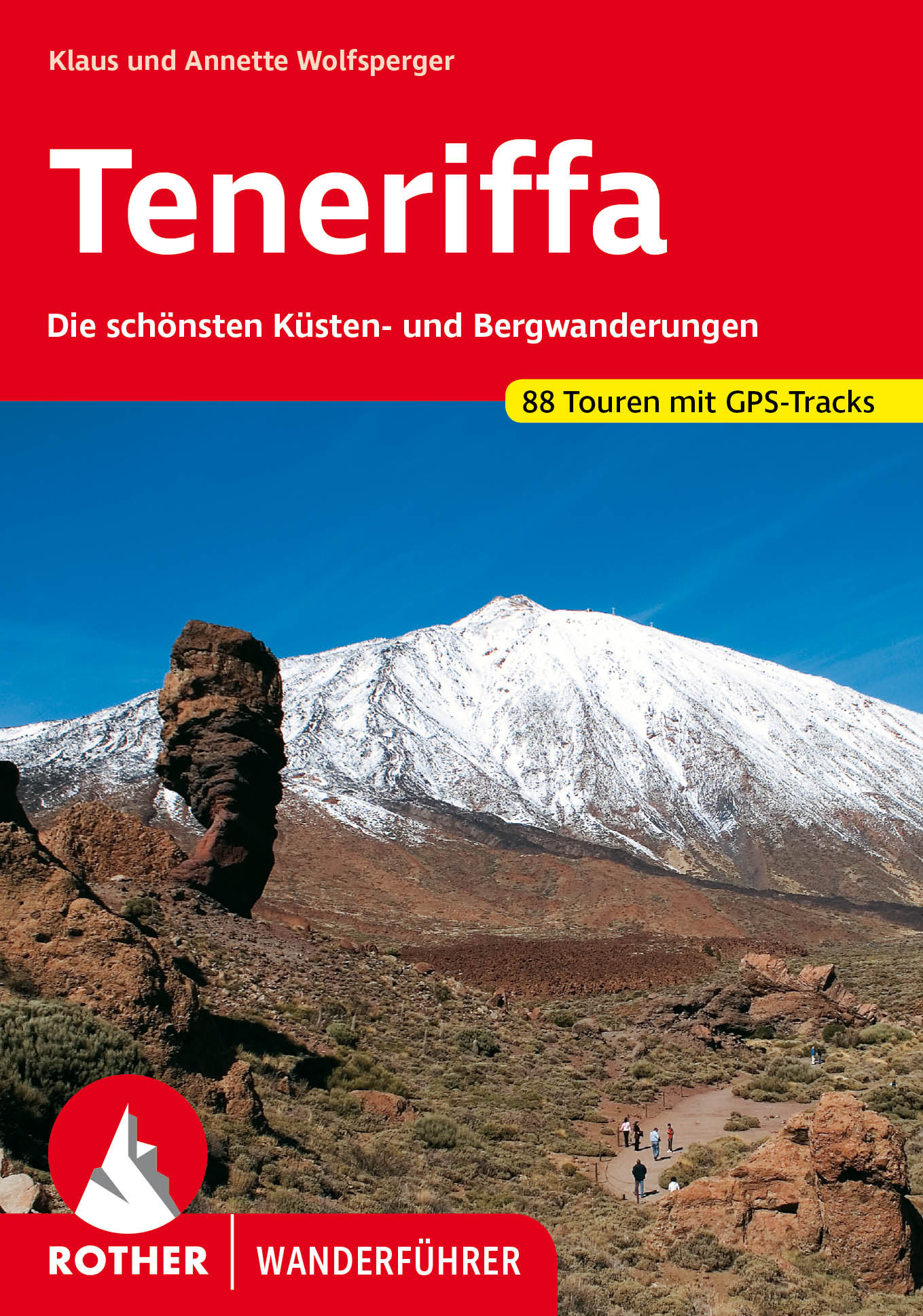
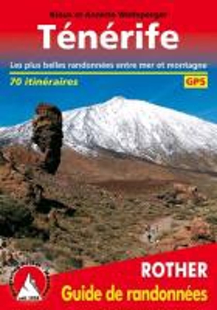
- Ténérife (Teneriffa - französische Ausgabe)
- Guide Rother TénérifeOn peut qualifier Ténérife de paradis des randonneurs le plus varié des îles Canaries.Sur »l'île des bien heureux« ne s'élève non seulement le Pico del Teide, avec ses 3718 m le sommet le plus élevé de l'archipel des Canaries et de toute... Read more
- Also available from:
- Bol.com, Belgium
Belgium
- Ténérife (Teneriffa - französische Ausgabe)
- Guide Rother TénérifeOn peut qualifier Ténérife de paradis des randonneurs le plus varié des îles Canaries.Sur »l'île des bien heureux« ne s'élève non seulement le Pico del Teide, avec ses 3718 m le sommet le plus élevé de l'archipel des Canaries et de toute... Read more
Netherlands
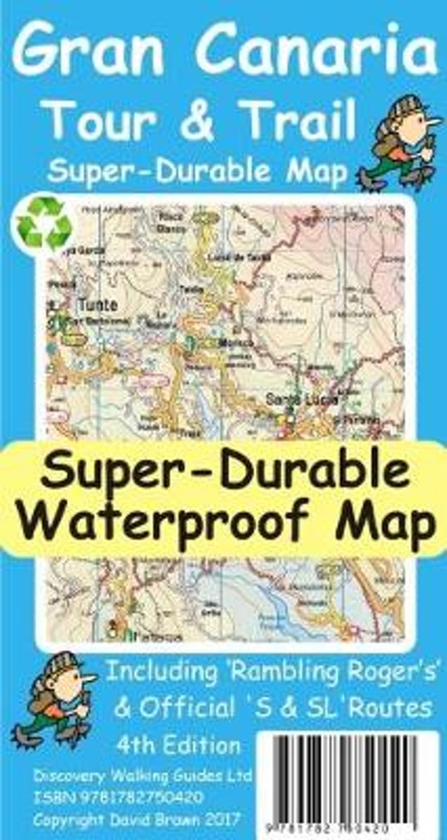
- Gran Canaria Tour & Trail Super-Durable Map
- Replaced by new 2nd edition on 23 September 2015. Gran Canaria Tour & Trail Super-Durable Map, 50k scale, is the result of David & Ros Brawn (Discovery Walking Guides) partnering with the island's walking and hiking expert 'Rambling Roger', add two of Roger's hiking mates Isabelle and Dane, so that we have five researchers with mapping gps... Read more
- Also available from:
- Bol.com, Belgium
Belgium
- Gran Canaria Tour & Trail Super-Durable Map
- Replaced by new 2nd edition on 23 September 2015. Gran Canaria Tour & Trail Super-Durable Map, 50k scale, is the result of David & Ros Brawn (Discovery Walking Guides) partnering with the island's walking and hiking expert 'Rambling Roger', add two of Roger's hiking mates Isabelle and Dane, so that we have five researchers with mapping gps... Read more
Netherlands
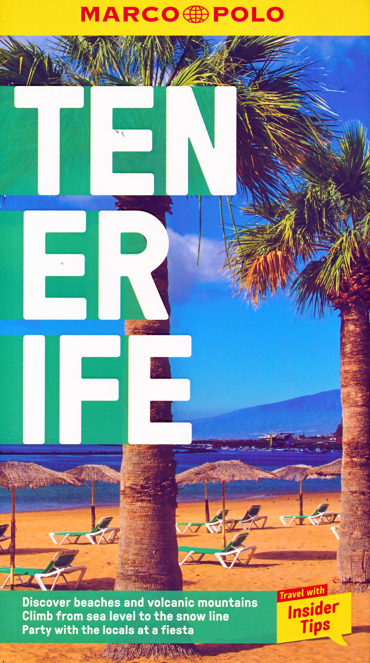
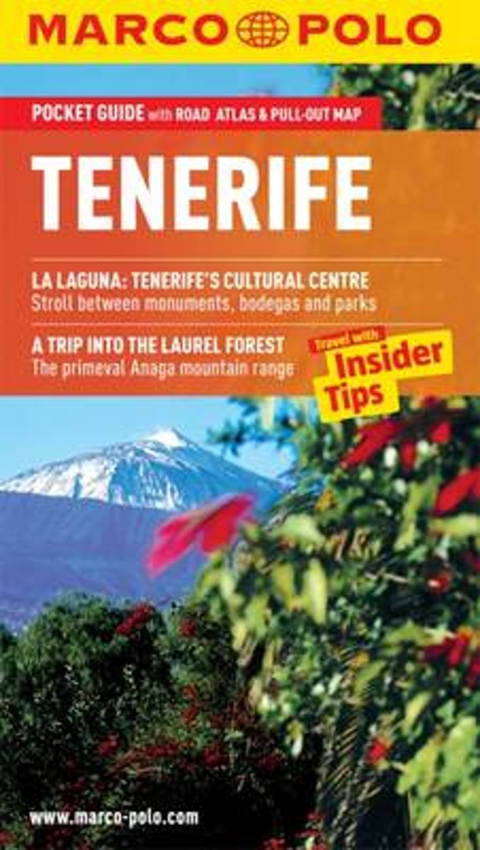
- Tenerife Marco Polo Pocket Guide
- Experience the very best of Tenerife with this up-to date and authoritative guide, complete with Insider Tips. With Marco Polo Tenerife you'll experience something quite unique. The deep blue Atlantic fringed by fine beaches, rugged coastlines and gorges, dense forests and badlands, all crowned by the mighty volcano of Mount Teide soaring above... Read more
- Also available from:
- Bol.com, Belgium
Belgium
- Tenerife Marco Polo Pocket Guide
- Experience the very best of Tenerife with this up-to date and authoritative guide, complete with Insider Tips. With Marco Polo Tenerife you'll experience something quite unique. The deep blue Atlantic fringed by fine beaches, rugged coastlines and gorges, dense forests and badlands, all crowned by the mighty volcano of Mount Teide soaring above... Read more
Netherlands
2015
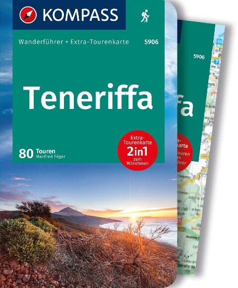
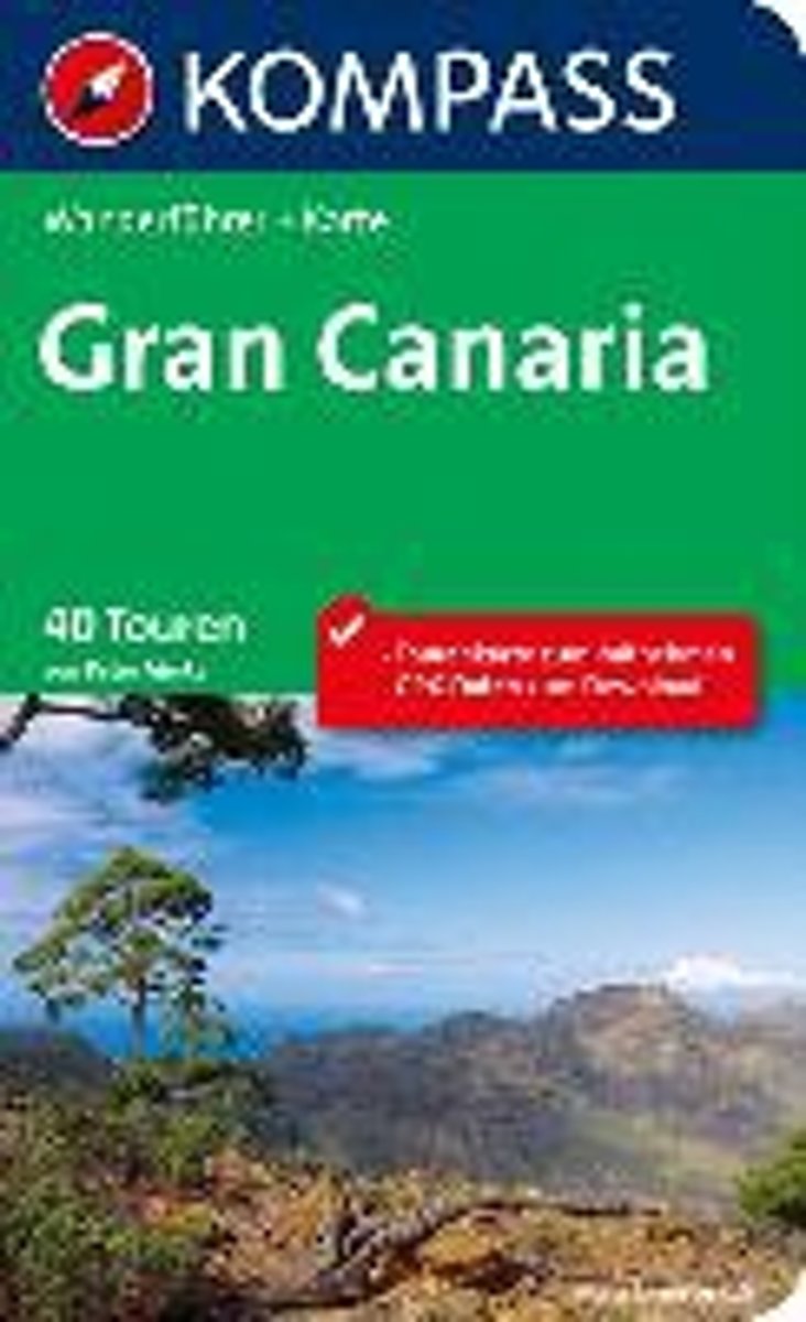
- WF5907 Gran Canaria Kompass
- De Kompass wandelgids + kaart geeft een overzicht van alle wandelroutes in het gebied met nauwkeurige routeaanwijzingen en hoogteaanduidingen, De extra grote kaart, schaal 1:35 000, is ideaal om van te voren uw route uit te stippelen en om onderweg te gebruiken • naast de bekende bestemmingen, worden ook de minder bekende vermeld • openbaar... Read more
- Also available from:
- Bol.com, Belgium
Belgium
2015
- WF5907 Gran Canaria Kompass
- De Kompass wandelgids + kaart geeft een overzicht van alle wandelroutes in het gebied met nauwkeurige routeaanwijzingen en hoogteaanduidingen, De extra grote kaart, schaal 1:35 000, is ideaal om van te voren uw route uit te stippelen en om onderweg te gebruiken • naast de bekende bestemmingen, worden ook de minder bekende vermeld • openbaar... Read more
Netherlands
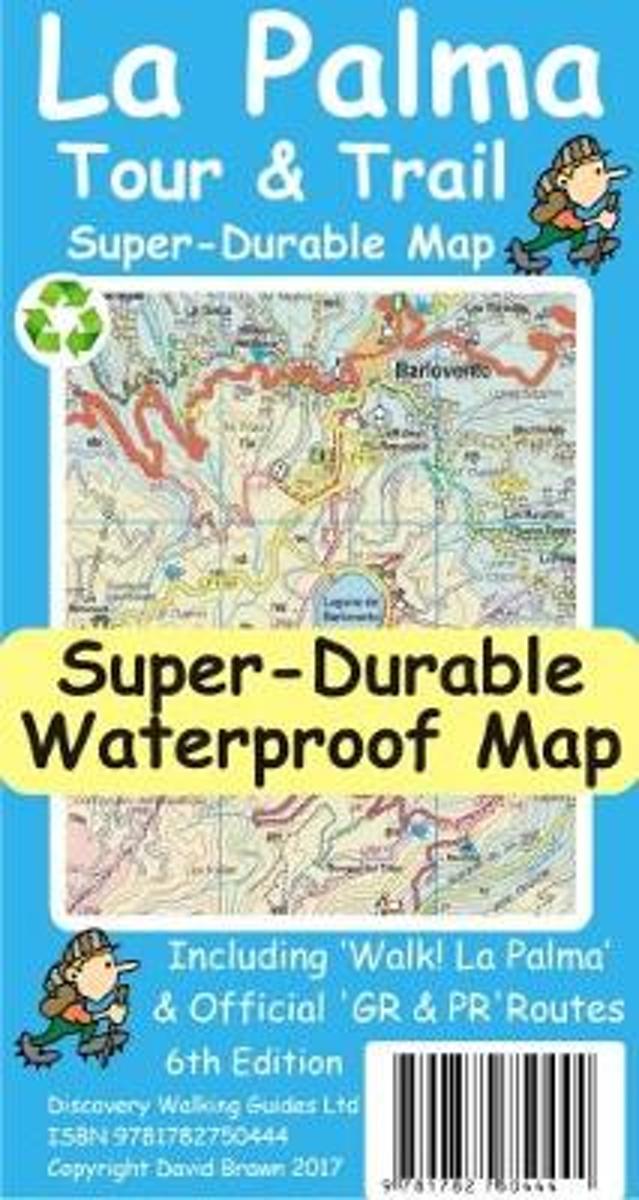
- La Palma Tour & Trail Super-Durable Map
- La Palma Tour & Trail Super-Durable Map 4th edition isbn 9781904946922. New 2013 4th Edition of our La Palma Tour & Trail Super-Durable Map is now available. Our large 1:40,000 scale, combined with splitting the island into a North (Landscape view) and South (Portrait view) with a generous overlap, produces double sided map whose total size is... Read more
- Also available from:
- Bol.com, Belgium
Belgium
- La Palma Tour & Trail Super-Durable Map
- La Palma Tour & Trail Super-Durable Map 4th edition isbn 9781904946922. New 2013 4th Edition of our La Palma Tour & Trail Super-Durable Map is now available. Our large 1:40,000 scale, combined with splitting the island into a North (Landscape view) and South (Portrait view) with a generous overlap, produces double sided map whose total size is... Read more
Netherlands
2010
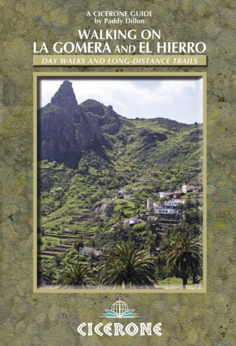
- Walking on La Gomera and El Hierro
- Walking guide to La Gomera and El Hierro, in the Canaries, with day walks and long-distance trails including Camino de La Virgen, GR132 around La Gomera and part of GR131 across the Canary Islands. Routes in Garajonay National Park and from San Sebastien and Valverde. Rugged mountain treks, coastal walks and easier expeditions. Read more
- Also available from:
- Bol.com, Belgium
Belgium
2010
- Walking on La Gomera and El Hierro
- Walking guide to La Gomera and El Hierro, in the Canaries, with day walks and long-distance trails including Camino de La Virgen, GR132 around La Gomera and part of GR131 across the Canary Islands. Routes in Garajonay National Park and from San Sebastien and Valverde. Rugged mountain treks, coastal walks and easier expeditions. Read more
Netherlands
2015
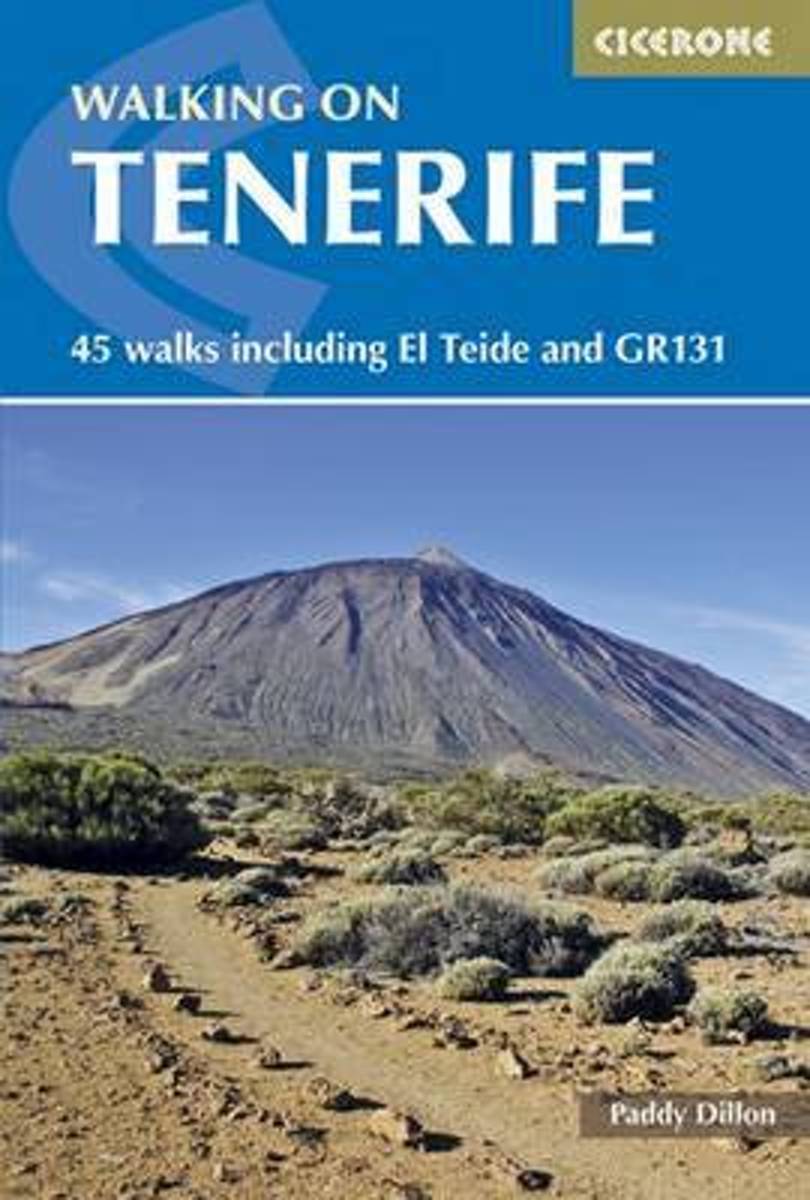
- Walking on Tenerife
- The latest in Paddy Dillon's series of guides to the Canary Islands, this guide covers all the best walking to be had on this hugely popular island, including routes along the GR131. With distance and difficulty ranging from short and easy to long and arduous there is suitable challenge for walkers of all abilities here, on 45 routes that... Read more
- Also available from:
- Bol.com, Belgium
Belgium
2015
- Walking on Tenerife
- The latest in Paddy Dillon's series of guides to the Canary Islands, this guide covers all the best walking to be had on this hugely popular island, including routes along the GR131. With distance and difficulty ranging from short and easy to long and arduous there is suitable challenge for walkers of all abilities here, on 45 routes that... Read more
Kaarten
Netherlands
2021
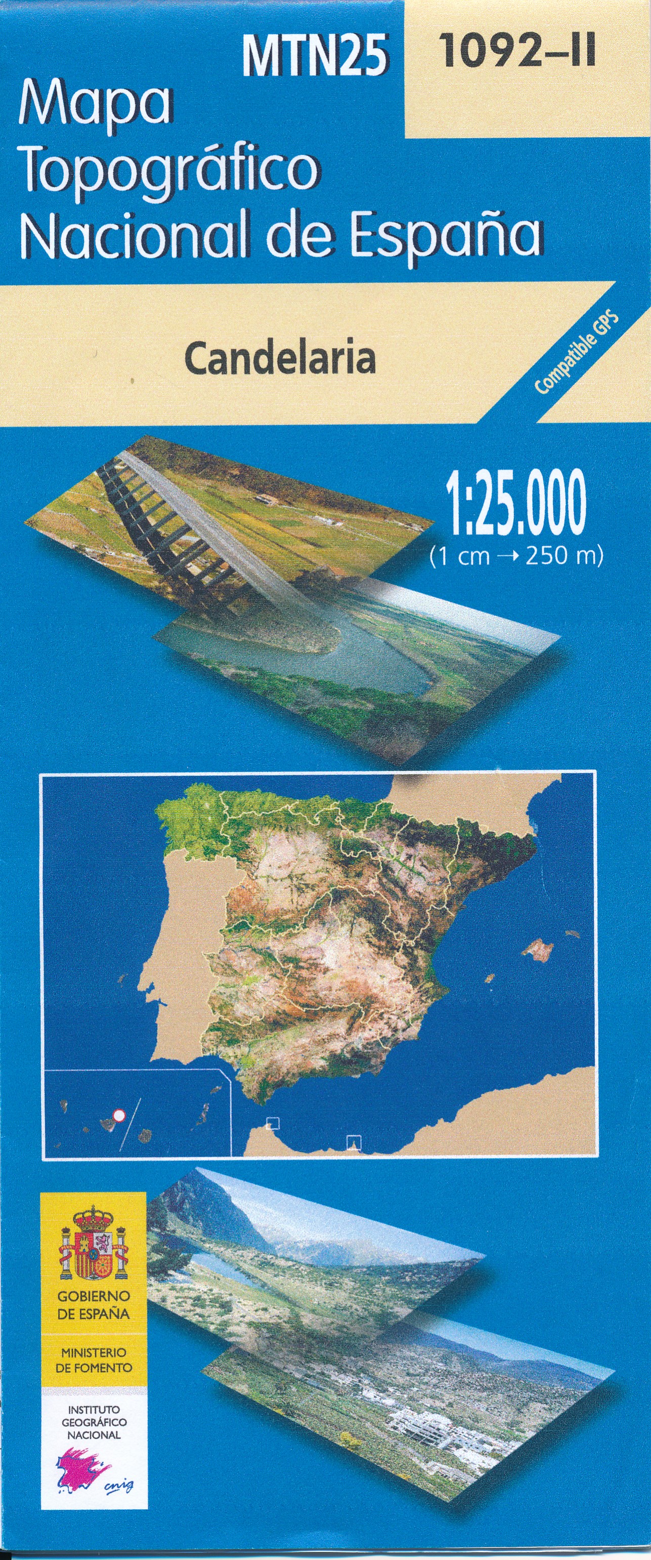
- Topografische kaart 1092-2 Candelaria | CNIG - Instituto Geográfico Nacional
- Topographic coverage of the Canary Islands at 1:25,000 published by the Instituto Geogr Read more
- Also available from:
- Stanfords, United Kingdom

United Kingdom
2021
- Candelaria 25K Tenerife CNIG Topographic Survey Map No. 1092-II
- Topographic coverage of the Canary Islands at 1:25,000 published by the Instituto Geográfico Nacional – Centro Nacional de Información Geografica, the country’s civilian survey organization. The maps have contours at 10m intervals and colouring and/or graphics to show different types of vegetation or land use. Boundaries of national parks and... Read more

- Also available from:
- Stanfords, United Kingdom

United Kingdom
- Lanzarote Kompass 241
- Lanzarote at 1:50,000 on a contoured and GPS compatible map from Kompass, with extensive tourist overprint, plus street plans of Arrecife, Puerto del Carmen and Teguise. Coverage includes the nearby islands of Graciosa, Montaña Clara and Alwegranza.Topography is vividly presented by contours at 50m intervals, enhanced by relief shading plus... Read more
Netherlands
2022
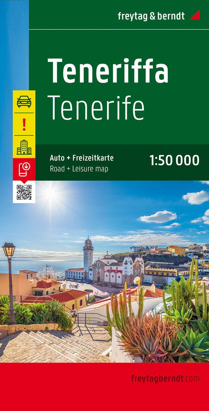
- Wandelkaart - Wegenkaart - landkaart Tenerife | Freytag & Berndt
- Tenerife at 1:50,000 on a clear, large, double-sided, GPS compatible road map from Freytag & Berndt with hiking trails, plus street plans of Santa Cruz de Tenerife, Los Christianos, Playa de las Am Read more
- Also available from:
- Stanfords, United Kingdom

United Kingdom
2022
- Tenerife F&B
- Tenerife at 1:50,000 on a clear, large, double-sided, GPS compatible road map from Freytag & Berndt with hiking trails, plus street plans of Santa Cruz de Tenerife, Los Christianos, Playa de las Américas and Puerto de la Cruz.The map divides the island east/west with a good overlap between the sides and has contours with relief shading, spot... Read more
Netherlands
2021
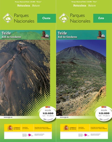
- Wandelkaart El Teide Red de Senderos -Tenerife + gids | CNIG - Instituto Geográfico Nacional
- Teide National Park on Tenerife at 1:25,000 on a contoured and GPS compatible map from IGN/CNIG with cartography from their topographic survey of Spain.The map has contours at 10m intervals enhanced by relief shading, plus colouring and graphics to show different types of vegetation. Hiking trails are highlighted. A wide range of symbols... Read more
- Also available from:
- Stanfords, United Kingdom

United Kingdom
2021
- Teide National Park - Tenerife CNIG 2-Map/Guide Set SPANISH
- Teide National Park on Tenerife at 1:25,000 on a contoured and GPS compatible map from IGN/CNIG with cartography from their topographic survey of Spain.The map has contours at 10m intervals enhanced by relief shading, plus colouring and graphics to show different types of vegetation. Hiking trails are highlighted. A wide range of symbols... Read more

Netherlands
2015
- Wegenkaart - landkaart Spanje | Borch
- Espana (Spanien) 1 : 1 875 000 ab 9.9 EURO Espana del Oeste, Espana del Este, Islas Canarias Borch Map. 9. Auflage Read more
Netherlands
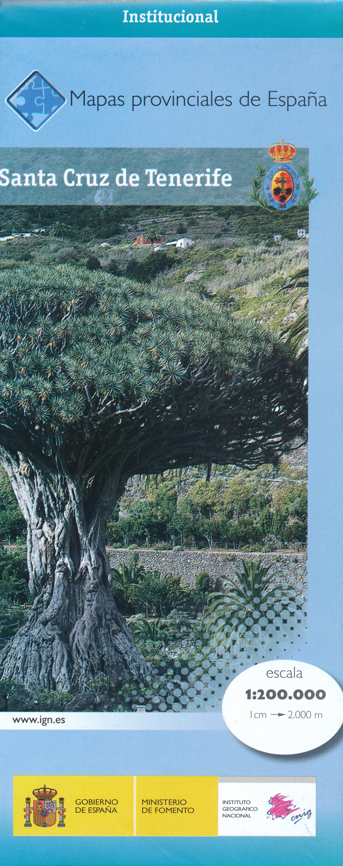
- Wegenkaart - landkaart Mapa Provincial Santa Cruz de Tenerife | CNIG - Instituto Geográfico Nacional
- Contoured, GPS-compatible, indexed road map at 1:200,000 from CNIG - Spain’s civilian survey organization, with exceptionally informative presentation of the landscape and highlighting for facilities and places of interest including campsites and paradors.Maps in CNIG’s 200K Provincial Series provide an excellent picture the topography through... Read more
- Also available from:
- Stanfords, United Kingdom

United Kingdom
- Santa Cruz de Tenerife Province 200K CNIG Map No. 38
- Contoured, GPS-compatible, indexed road map at 1:200,000 from CNIG - Spain’s civilian survey organization, with exceptionally informative presentation of the landscape and highlighting for facilities and places of interest including campsites and paradors.Maps in CNIG’s 200K Provincial Series provide an excellent picture the topography through... Read more

Netherlands
- Kanaren/DVD-ROM
- Deze digitale wandel-, fiets- en skiroute kaarten van Kompass op CD of DVD zijn bruikbaar met GPS • je kunt inzoomen op de kaart tot een schaal van 1: 10 000 • prima manier om je eigen route te plannen, met hoogteprofielen • zeer eenvoudig om de gekozen route te printen of te downloaden op mobiele telefoon of PDA • vlieg vogelvlucht over een... Read more
- Also available from:
- Bol.com, Belgium
Belgium
- Kanaren/DVD-ROM
- Deze digitale wandel-, fiets- en skiroute kaarten van Kompass op CD of DVD zijn bruikbaar met GPS • je kunt inzoomen op de kaart tot een schaal van 1: 10 000 • prima manier om je eigen route te plannen, met hoogteprofielen • zeer eenvoudig om de gekozen route te printen of te downloaden op mobiele telefoon of PDA • vlieg vogelvlucht over een... Read more
Netherlands
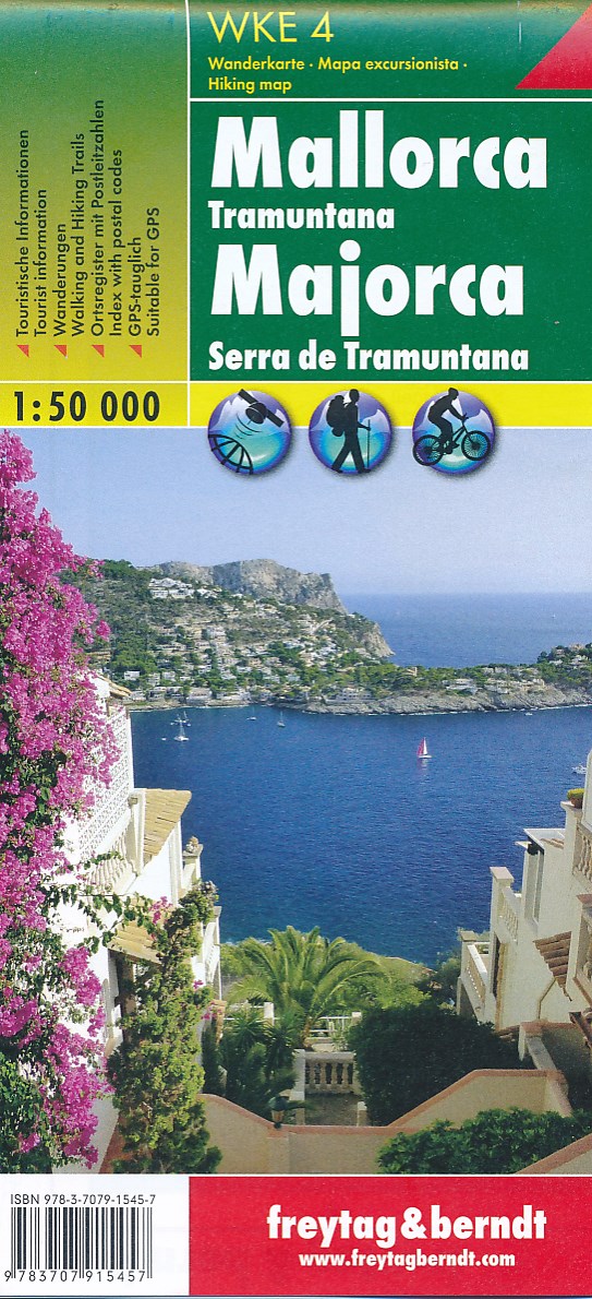
- Wandelkaart - Fietskaart WKE4 Mallorca - Serra de Tramuntana | Freytag & Berndt
- Mallorca - Tramuntana ab 9.2 EURO Wander-Rad-Freizeitkarte - Ma�stab 1:50. 000 Freytag & Berndt Wanderkarte Read more
- Also available from:
- Bol.com, Netherlands
- Bol.com, Belgium
Netherlands
- Mallorca - Tramuntana
- freytag & berndt Wanderkarten sind dank der detaillierten digitalen Kartographie und der genauen Maßstäbe ideale Begleiter beim Wandern, Bergsteigen und auf Skitouren. Sie werden regelmäßig überarbeitet und enthalten aktualisierte Informationen zu Wanderwegen, Rad- und Mountainbikestrecken, Hütten, Naturdenkmälern, kulturellen... Read more
Belgium
- Mallorca - Tramuntana
- freytag & berndt Wanderkarten sind dank der detaillierten digitalen Kartographie und der genauen Maßstäbe ideale Begleiter beim Wandern, Bergsteigen und auf Skitouren. Sie werden regelmäßig überarbeitet und enthalten aktualisierte Informationen zu Wanderwegen, Rad- und Mountainbikestrecken, Hütten, Naturdenkmälern, kulturellen... Read more

Netherlands
- Tenerife Hikers Maps
- Our latest hiking research on Tenerife has resulted in new editions of Walk! Tenerife and Tenerife Hikers' Super-Durable Maps being published in 2017. Thanks to Jan Kostura's 2016 research we have several new hiking adventures described in detail in Walk! Tenerife. Jan's gps records of his research for new routes and updating of current routes... Read more
- Also available from:
- Bol.com, Belgium
Belgium
- Tenerife Hikers Maps
- Our latest hiking research on Tenerife has resulted in new editions of Walk! Tenerife and Tenerife Hikers' Super-Durable Maps being published in 2017. Thanks to Jan Kostura's 2016 research we have several new hiking adventures described in detail in Walk! Tenerife. Jan's gps records of his research for new routes and updating of current routes... Read more
- Also available from:
- Bol.com, Belgium
- Stanfords, United Kingdom

United Kingdom
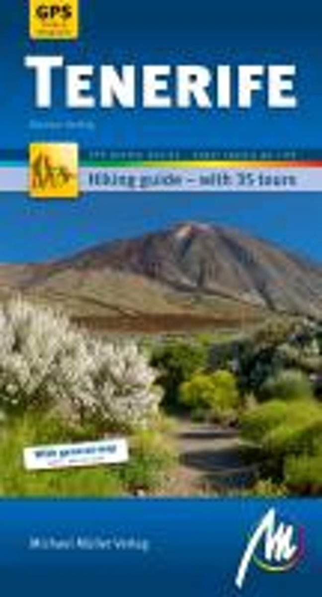
- Tenerife Hiking guide with 35 tours
- Tenerife Hiking Guide featuring 35 tours varying from easy to challenging, with detailed directions, distance and altitude diagram, trail maps and colour photographs. The author is a qualified sports instructor who safely guides hikers of all ages around the island.The guide opens introducing the area and provides information on the local... Read more
Netherlands
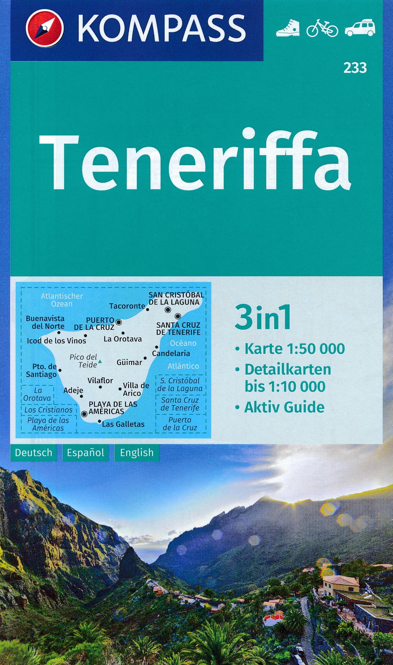
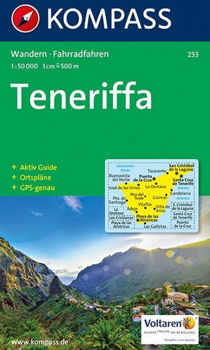
- Kompass WK233 Tenerife
- Toeristische kaart voor wandelen, fietsen en vrije tijd met activiteitengids en stadsplattegronden • goed leesbare schaal van 1:50 000 • te gebruiken met GPS • met praktische informatie over de regio • wandel- en fietspaden • aanbevolen routes • kastelen • uitzichtpunten • stranden en baaien • toeristische informatie • veel topografische... Read more
- Also available from:
- Bol.com, Belgium
Belgium
- Kompass WK233 Tenerife
- Toeristische kaart voor wandelen, fietsen en vrije tijd met activiteitengids en stadsplattegronden • goed leesbare schaal van 1:50 000 • te gebruiken met GPS • met praktische informatie over de regio • wandel- en fietspaden • aanbevolen routes • kastelen • uitzichtpunten • stranden en baaien • toeristische informatie • veel topografische... Read more

Netherlands
- Lanzarote WK241
- Toeristische kaart voor wandelen, fietsen en vrije tijd met activiteitengids en stadsplattegronden • goed leesbare schaal van 1:50 000 • te gebruiken met GPS • met praktische informatie over de regio • wandel- en fietspaden • aanbevolen routes • kastelen • uitzichtpunten • stranden en baaien • toeristische informatie • veel topografische... Read more
- Also available from:
- Bol.com, Belgium
Belgium
- Lanzarote WK241
- Toeristische kaart voor wandelen, fietsen en vrije tijd met activiteitengids en stadsplattegronden • goed leesbare schaal van 1:50 000 • te gebruiken met GPS • met praktische informatie over de regio • wandel- en fietspaden • aanbevolen routes • kastelen • uitzichtpunten • stranden en baaien • toeristische informatie • veel topografische... Read more
United Kingdom
- Adeje CNIG Topo 1096-3/4
- Topographic coverage of the Canary Islands at 1:25,000 published by the Instituto Geográfico Nacional – Centro Nacional de Información Geografica, the country’s civilian survey organization. The maps have contours at 10m intervals and colouring and/or graphics to show different types of vegetation or land use. Boundaries of national parks and... Read more