
Galicia
Beschrijving
Autonomous region in the northwest of Spain.
Paden in deze landsdeel
Links
Feiten
Verslagen
Gidsen en kaarten
Overnachting
Organisaties
Reisorganisaties
GPS
Anders
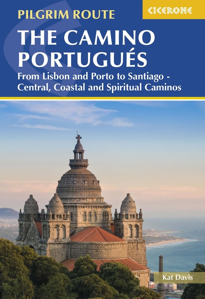
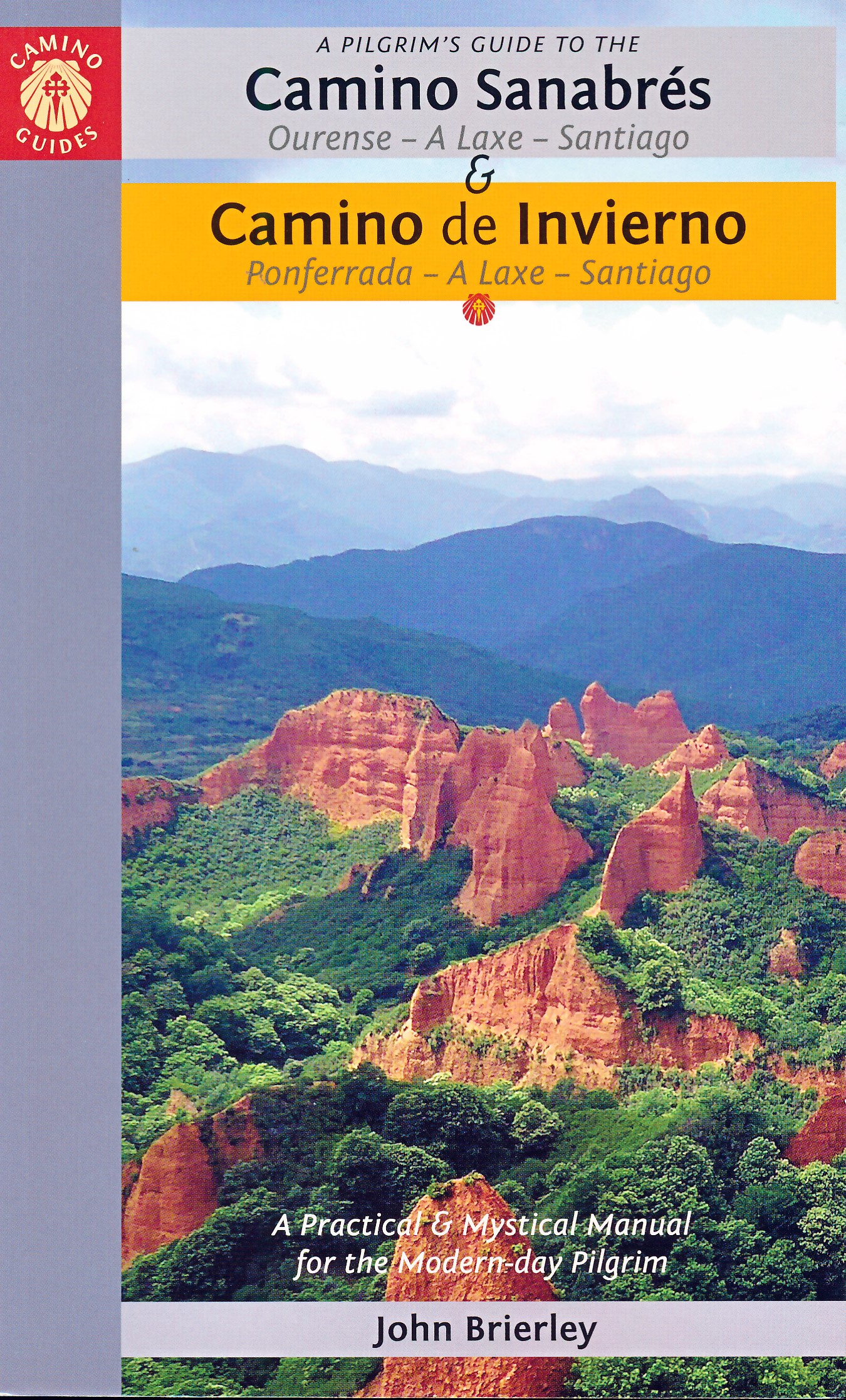
Boeken
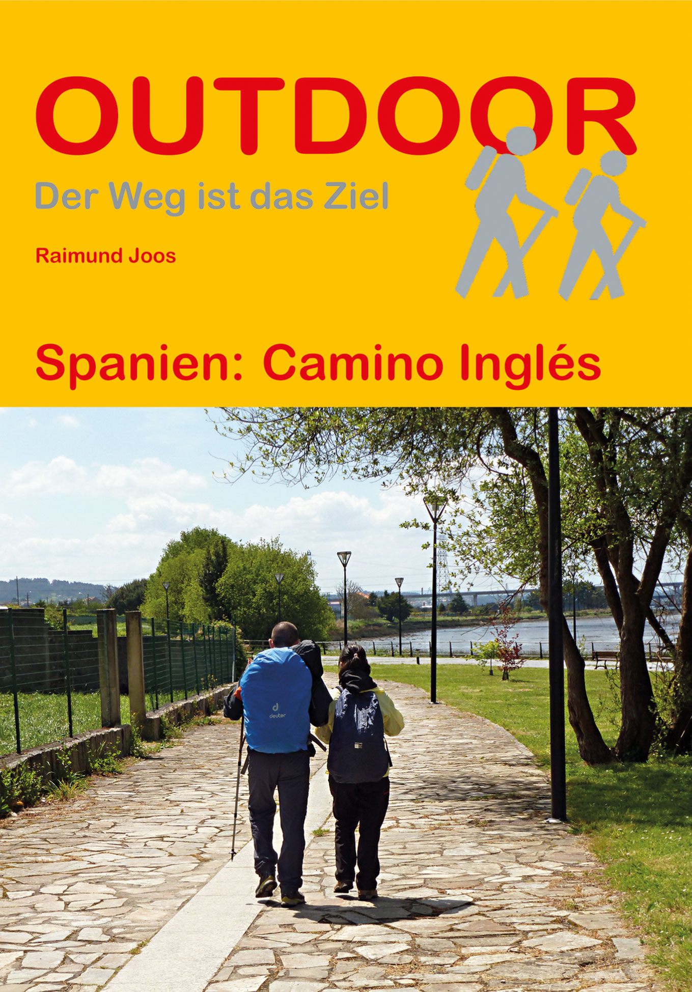
De Zwerver
Netherlands
2022
Netherlands
2022
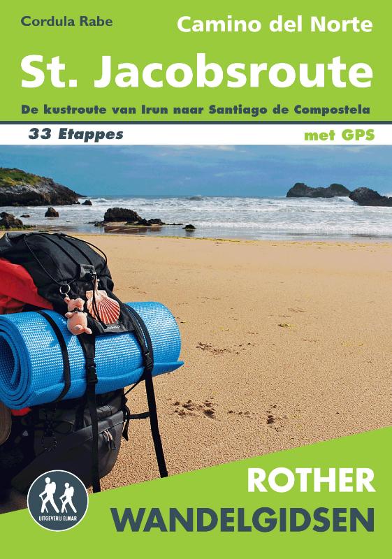
De Zwerver
Netherlands
2023
Netherlands
2023
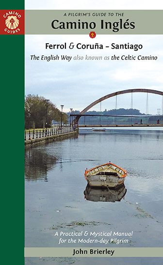
De Zwerver
Netherlands
2022
Netherlands
2022
De Zwerver
Netherlands
2023
Netherlands
2023

De Zwerver
Netherlands
2023
Netherlands
2023
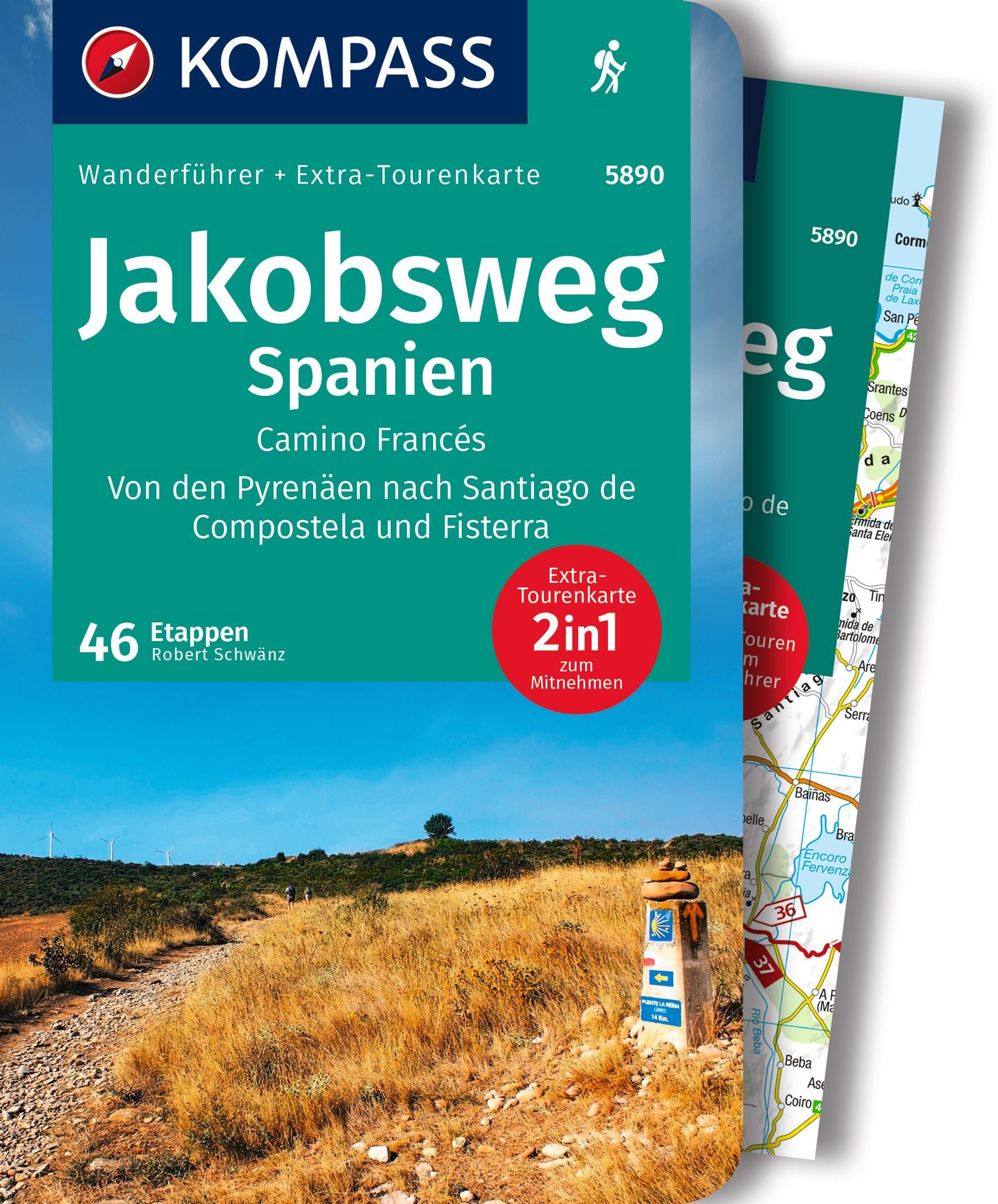
De Zwerver
Netherlands
2016
Netherlands
2016
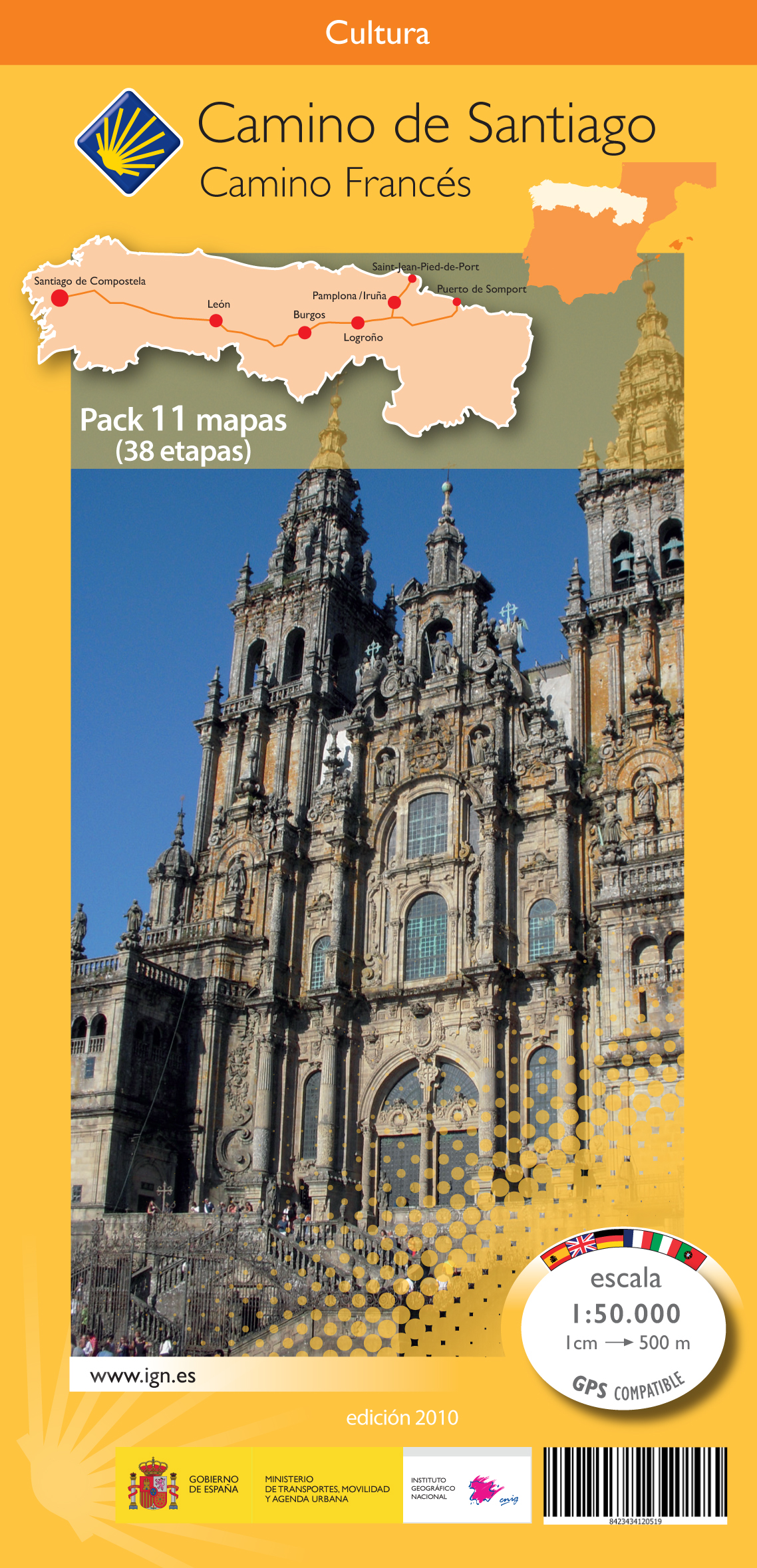
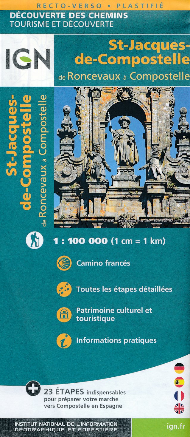
- Wandelkaart - Pelgrimsroute (kaart) St-Jacques-de-Compostela, Camino Frances | IGN - Institut Géographique National
- St Jacques de Compostelle : de Roncevaux à CompostelleUne nouvelle série de cartes IGN pour découvrir les chemins mythiques, réalisée en partenariat avec les associations dédiées à ces chemins exceptionnels. Read more
- Also available from:
- Stanfords, United Kingdom

Stanfords
United Kingdom
2016
United Kingdom
2016
- Santiago de Compostela - Roncevaux / Roncesvalles to Santiago IGN 89022
- Camino Francés, the main route of the Way of St. James across northern Spain from Roncesvalles in the Pyrenees to Santiago de Compostela on a double-sided, waterproof and tear-resistant map from IGN France with cartography and tourist information identical to coverage of this route by Kompass map No. 133.The IGN map differs from Kompass map No.... Read more

De Zwerver
Netherlands
2023
Netherlands
2023
Bol.com
Netherlands
Netherlands
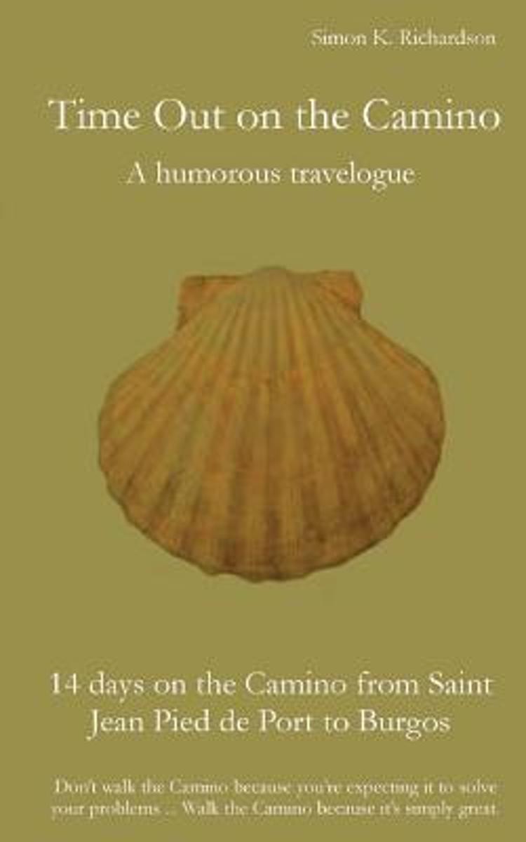
- Time Out on the Camino
- (Based on the German book "buen caminoooo!!!". Top 10 Adventure and Travel books on amazon.de)Simon K. Richardson presents a description of his experiences on the Camino Francés (St. James' Way), a walk that turned out to be very different from what he had expected. He was surprised to find out that walking the Camino can be an amusing and... Read more
- Also available from:
- Bol.com, Belgium
Bol.com
Belgium
Belgium
- Time Out on the Camino
- (Based on the German book "buen caminoooo!!!". Top 10 Adventure and Travel books on amazon.de)Simon K. Richardson presents a description of his experiences on the Camino Francés (St. James' Way), a walk that turned out to be very different from what he had expected. He was surprised to find out that walking the Camino can be an amusing and... Read more
De Zwerver
Netherlands
2018
Netherlands
2018
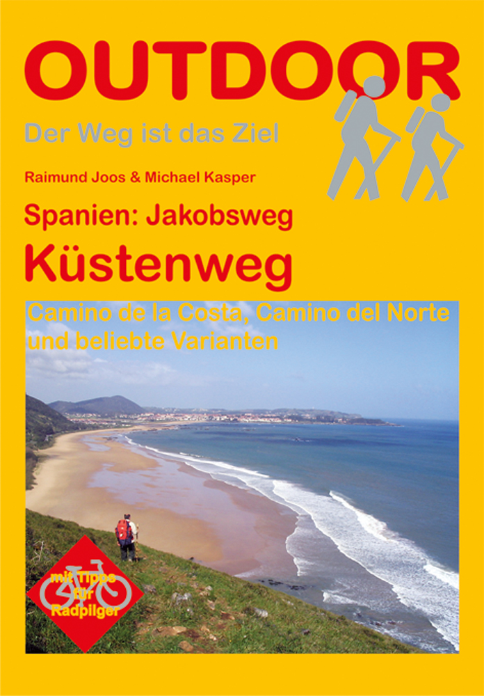
- Wandelgids Spanien: Jakobsweg - Küstenweg | Conrad Stein Verlag
- Duitstalige wandelgids voor de noordelijke kustroute naar Santiago de Compostella in Spanje (deze variant van de pelgrimsroute naar Santiago de Compostela is wat minder bekend dan de Camino Frances) Der Jakobsweg ist derzeit in aller Munde und fast könnte der Eindruck entstehen, es handele sich um einen Trend, dem alle im wahrsten Sinne des... Read more
- Also available from:
- Bol.com, Netherlands
- Bol.com, Belgium
Bol.com
Netherlands
2014
Netherlands
2014
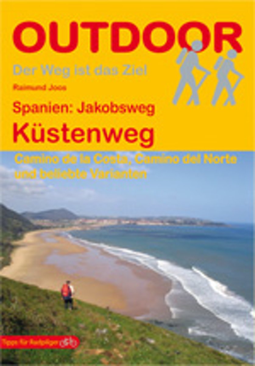
- Spanien: Jakobsweg Küstenweg
- Kurzbeschreibung: Der Jakobsweg ist derzeit in aller Munde und fast könnte der Eindruck entstehen, es handele sich um einen Trend, dem alle im wahrs ten Sinne des Wortes blind "hinterherrennen". Der Eindruck trügt. Wer den Weg kennt, wird bestätigen, dass es sich immer um ein unvergleichlich persönliches Erlebnis handelt, das viele einzigartige... Read more
Bol.com
Belgium
2014
Belgium
2014
- Spanien: Jakobsweg Küstenweg
- Kurzbeschreibung: Der Jakobsweg ist derzeit in aller Munde und fast könnte der Eindruck entstehen, es handele sich um einen Trend, dem alle im wahrs ten Sinne des Wortes blind "hinterherrennen". Der Eindruck trügt. Wer den Weg kennt, wird bestätigen, dass es sich immer um ein unvergleichlich persönliches Erlebnis handelt, das viele einzigartige... Read more
Kaarten

De Zwerver
Netherlands
Netherlands
- Wandelkaart - Pelgrimsroute (kaart) 133 Spanischer Jakobsweg | Kompass
- The main route of the Way of St James to Compostela across northern Spain presented at 1:100,000 on a durable, waterproof and tear-resistant map from Kompass, arranged as 26 separate strips, each with a route profile, plus additional street plans of central Logro Read more
- Also available from:
- Stanfords, United Kingdom

Stanfords
United Kingdom
United Kingdom
- The Way of St. James to Compostela: Spanish Section
- The main route of the Way of St James to Compostela across northern Spain presented at 1:100,000 on a durable, waterproof and tear-resistant map from Kompass, arranged as 26 separate strips, each with a route profile, plus additional street plans of central Logroño, Burgos, León and Santiago itself.The whole route is covered on 26 panels, each... Read more

De Zwerver
Netherlands
Netherlands
- Pelgrimsroute (kaart) - Wandelkaart Camino de Santiago in Spanje | CNIG - Instituto Geográfico Nacional
- All roads leading to Santiago de Compostela in the Iberian Peninsula are represented on this Caminos de Santiago / The Way of St. James Map. Routes highlighted on a physical map of the Iberian Peninsula at 1:1,250,000 from IGN/CNIG, Spain civilian topographic survey organization. The base map with altitude colouring and relief shading provides... Read more
- Also available from:
- Stanfords, United Kingdom

Stanfords
United Kingdom
United Kingdom
- Caminos de Santiago / Ways of St. James on the Iberian Peninsula CNIG Overview Map
- All roads leading to Santiago de Compostela in the Iberian Peninsula are represented on this Caminos de Santiago / The Way of St. James Map. Routes highlighted on a physical map of the Iberian Peninsula at 1:1,250,000 from IGN/CNIG, Spain civilian topographic survey organization. The base map with altitude colouring and relief shading provides... Read more
.jpg)
De Zwerver
Netherlands
Netherlands
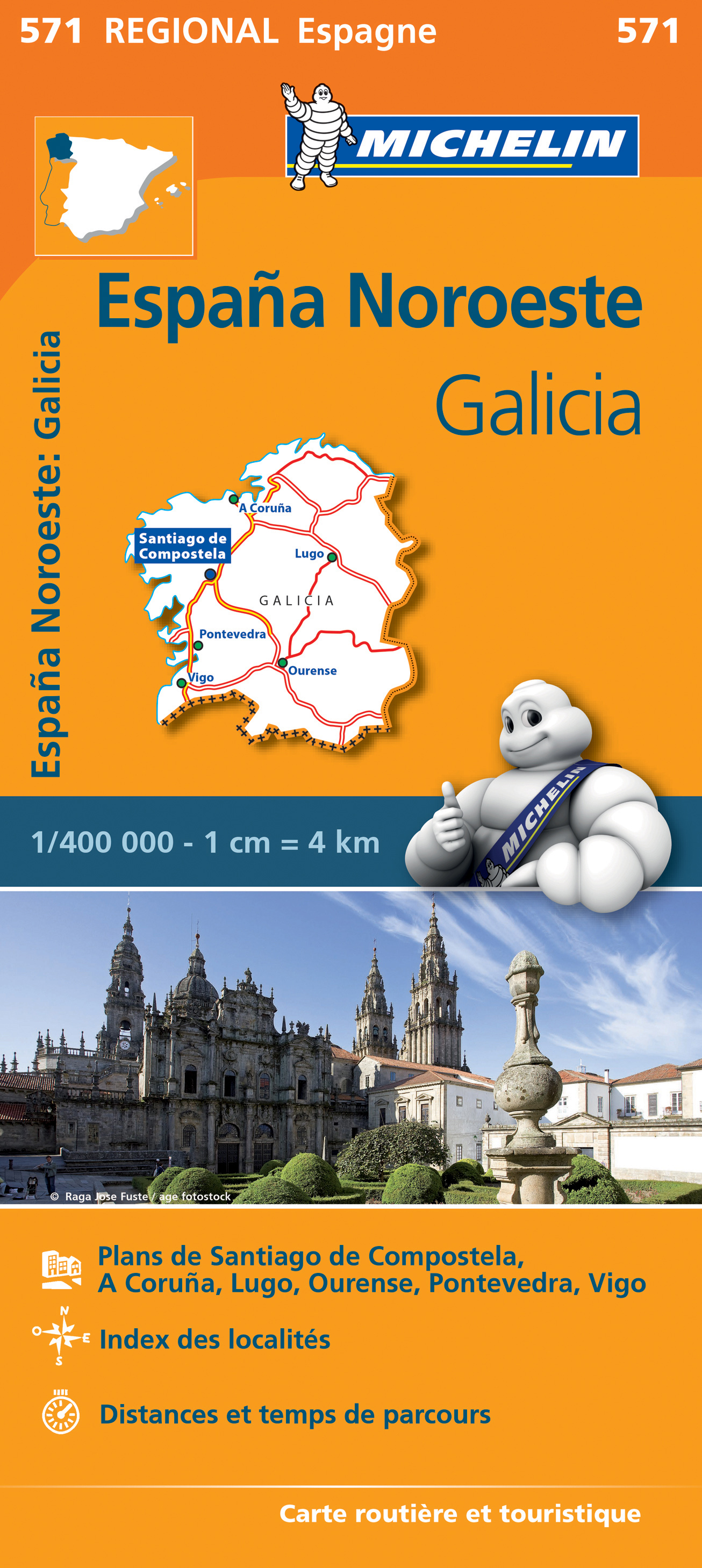
- Wegenkaart - landkaart 571 Galicia - Santiago de Compostela - Vigo - La Curuna (Galicië) noordwest Spanje | Michelin
- Une carte fiable pour parcourir les régions d'Europe Read more
De Zwerver
Netherlands
Netherlands
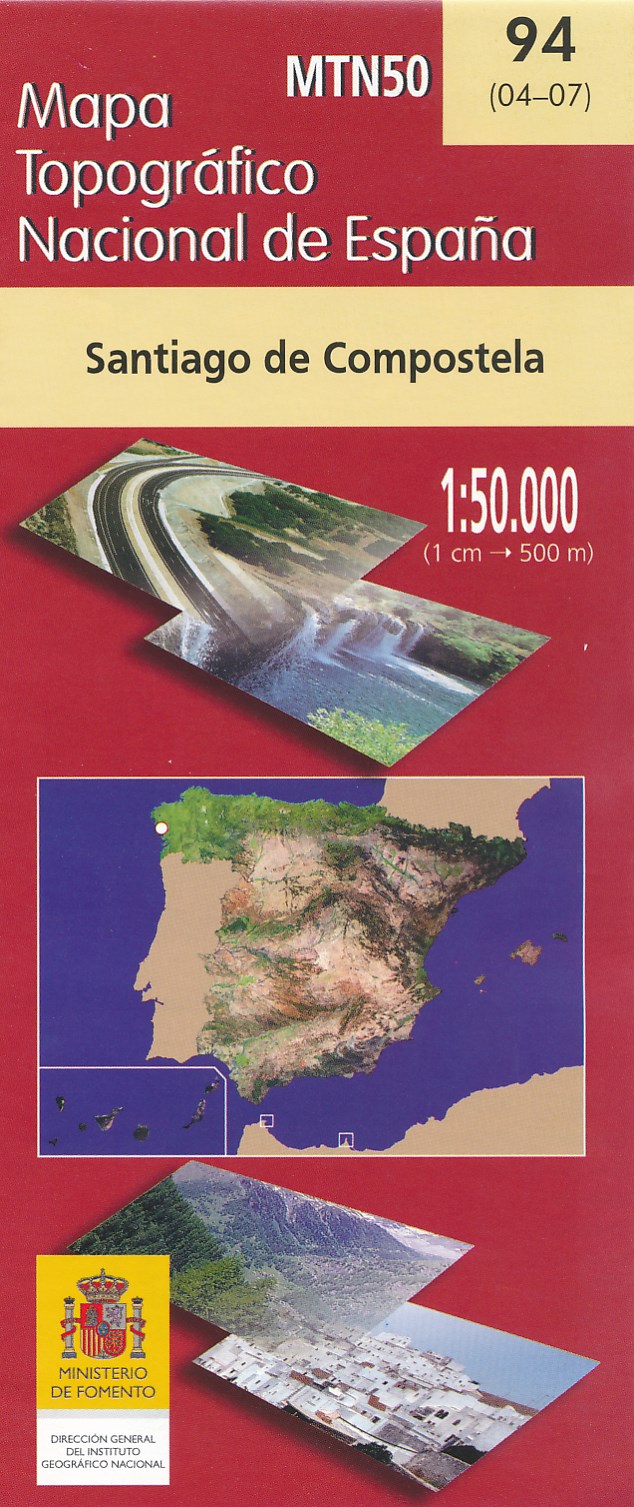
- Wandelkaart - Topografische kaart 94 Santiago de Compostela | CNIG - Instituto Geográfico Nacional
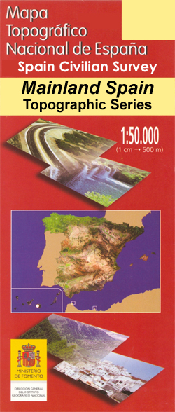
- Topographic coverage of mainland Spain at 1:50,000 in the MTN50 (Mapa Topogr Read more
- Also available from:
- Stanfords, United Kingdom

Stanfords
United Kingdom
United Kingdom
- Santiago de Compostella CNIG Topo 94
- Topographic coverage of mainland Spain at 1:50,000 in the MTN50 (Mapa Topográfico Nacional) series from the Centro Nacional de Información Geografica, the country’s civilian survey organization. The maps have contours at 20m intervals, enhanced by relief shading, plus colouring and/or graphics to show different types of terrain, vegetation or... Read more
De Zwerver
Netherlands
Netherlands
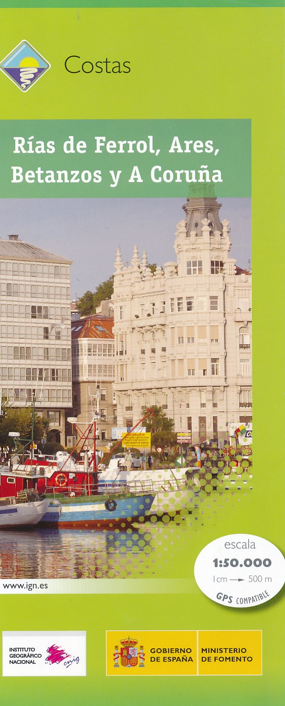
- Wandelkaart Costas - Rias de Ferrol - Ares - Betanzos - A Coruna | CNIG - Instituto Geográfico Nacional
- Topografische wandelkaart Spanje 1:50.000 met 20m hoogtelijnen en UTM grid. Verschillen in landgebruik en vegetatie zijn op de kaart aangeven, alsmede de grenzen van nationale parken. Read more
- Also available from:
- Stanfords, United Kingdom

Stanfords
United Kingdom
United Kingdom
- Rias de Ferrol - Ares - Betanzos and A Coruna CNIG Map
- The coast of Galicia between the towns of A Coruña and Ferrol on a detailed, GPS compatible topographic map at 1:50,000 from the country’s civilian survey organization, with additional nautical information in the bays of Ferrol, Ares, Betanzos and Coruña. The map has the cartography of Spain’s civilian topographic survey at 1:50,000 with... Read more

De Zwerver
Netherlands
Netherlands
- Wegenkaart - landkaart Camino de Santiago - Camino Frances | CNIG - Instituto Geográfico Nacional
- Northern Spain on an overview map at 1:500,000 highlighting the course of the Camino Francés route of the Way of St James from the Pyrenees to Santiago de Compostela via Burgos and León. Published by Spain’s civilian survey organization as part of their set providing topographic coverage of the route at 1:50,000, the map is also available... Read more
- Also available from:
- Stanfords, United Kingdom

Stanfords
United Kingdom
United Kingdom
- Way of St James / Camino de Santiago CNIG Overview Map
- Northern Spain on an overview map at 1:500,000 highlighting the course of the Camino Francés route of the Way of St James from the Pyrenees to Santiago de Compostela via Burgos and León. Published by Spain’s civilian survey organization as part of their set providing topographic coverage of the route at 1:50,000, the map is also available... Read more

Stanfords
United Kingdom
United Kingdom
- Baena CNIG Topo 967
- Topographic coverage of mainland Spain at 1:50,000 in the MTN50 (Mapa Topográfico Nacional) series from the Centro Nacional de Información Geografica, the country’s civilian survey organization. The maps have contours at 20m intervals, enhanced by relief shading, plus colouring and/or graphics to show different types of terrain, vegetation or... Read more

Stanfords
United Kingdom
United Kingdom
- Foz CNIG Topo 9
- Topographic coverage of mainland Spain at 1:50,000 in the MTN50 (Mapa Topográfico Nacional) series from the Centro Nacional de Información Geografica, the country’s civilian survey organization. The maps have contours at 20m intervals, enhanced by relief shading, plus colouring and/or graphics to show different types of terrain, vegetation or... Read more

Stanfords
United Kingdom
United Kingdom
- Talavera de la Reina CNIG Topo 627
- Topographic coverage of mainland Spain at 1:50,000 in the MTN50 (Mapa Topográfico Nacional) series from the Centro Nacional de Información Geografica, the country’s civilian survey organization. The maps have contours at 20m intervals, enhanced by relief shading, plus colouring and/or graphics to show different types of terrain, vegetation or... Read more

Stanfords
United Kingdom
United Kingdom
- Cilleruelo de Abajo CNIG Topo 314
- Topographic coverage of mainland Spain at 1:50,000 in the MTN50 (Mapa Topográfico Nacional) series from the Centro Nacional de Información Geografica, the country’s civilian survey organization. The maps have contours at 20m intervals, enhanced by relief shading, plus colouring and/or graphics to show different types of terrain, vegetation or... Read more

Stanfords
United Kingdom
United Kingdom
- Águilas CNIG Topo 997
- Topographic coverage of mainland Spain at 1:50,000 in the MTN50 (Mapa Topográfico Nacional) series from the Centro Nacional de Información Geografica, the country’s civilian survey organization. The maps have contours at 20m intervals, enhanced by relief shading, plus colouring and/or graphics to show different types of terrain, vegetation or... Read more
Stanfords
United Kingdom
United Kingdom
- Calatayud CNIG Topo 409
- Topographic coverage of mainland Spain at 1:50,000 in the MTN50 (Mapa Topográfico Nacional) series from the Centro Nacional de Información Geografica, the country’s civilian survey organization. The maps have contours at 20m intervals, enhanced by relief shading, plus colouring and/or graphics to show different types of terrain, vegetation or... Read more

Stanfords
United Kingdom
United Kingdom
- Villafranca del Penedes CNIG Topo 419
- Topographic coverage of mainland Spain at 1:50,000 in the MTN50 (Mapa Topográfico Nacional) series from the Centro Nacional de Información Geografica, the country’s civilian survey organization. The maps have contours at 20m intervals, enhanced by relief shading, plus colouring and/or graphics to show different types of terrain, vegetation or... Read more

Stanfords
United Kingdom
United Kingdom
- Ciudad Rodrigo CNIG Topo 525
- Topographic coverage of mainland Spain at 1:50,000 in the MTN50 (Mapa Topográfico Nacional) series from the Centro Nacional de Información Geografica, the country’s civilian survey organization. The maps have contours at 20m intervals, enhanced by relief shading, plus colouring and/or graphics to show different types of terrain, vegetation or... Read more