
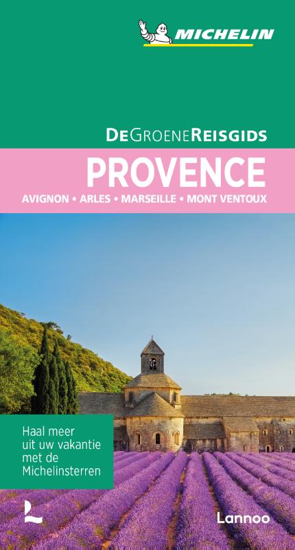
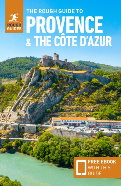
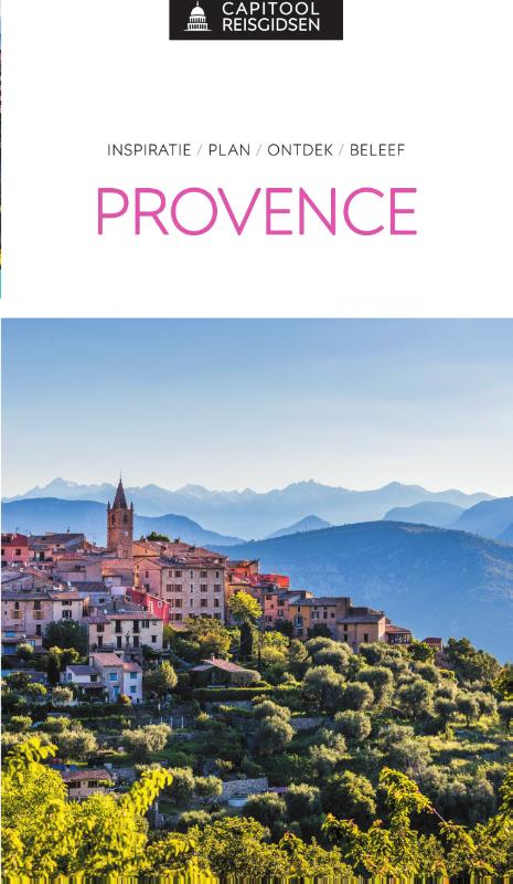
Provence
Beschrijving

The south of France, along the Mediterranean coast, is a popular destination. Many trails cross this varied region.
Kaart

Paden in deze regio
- E7GPX
- GR4GPX
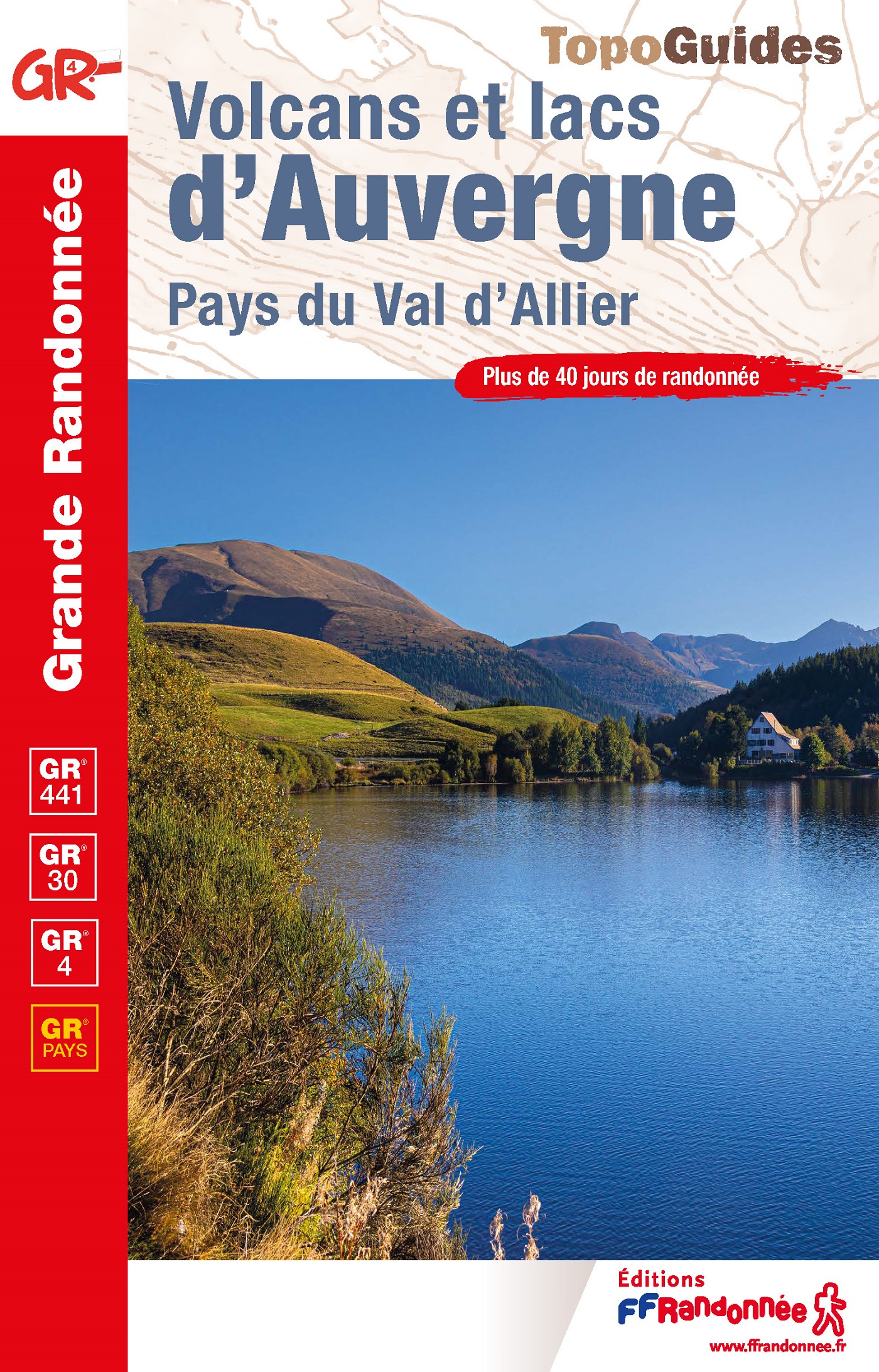
- GR42GPX
- GR49GPX
- GR51 - Balcons de la MéditerranéeGPX
- GR510 - Sentier des huit valléesGPX
- GR52 - Vallée des MerveillesGPX
- GR6GPX
- GR63GPX
- GR653 - Via TolosanaGPX
- GR653A - Via AureliaGPX
- GR653D - Voie d’ArlesGPX
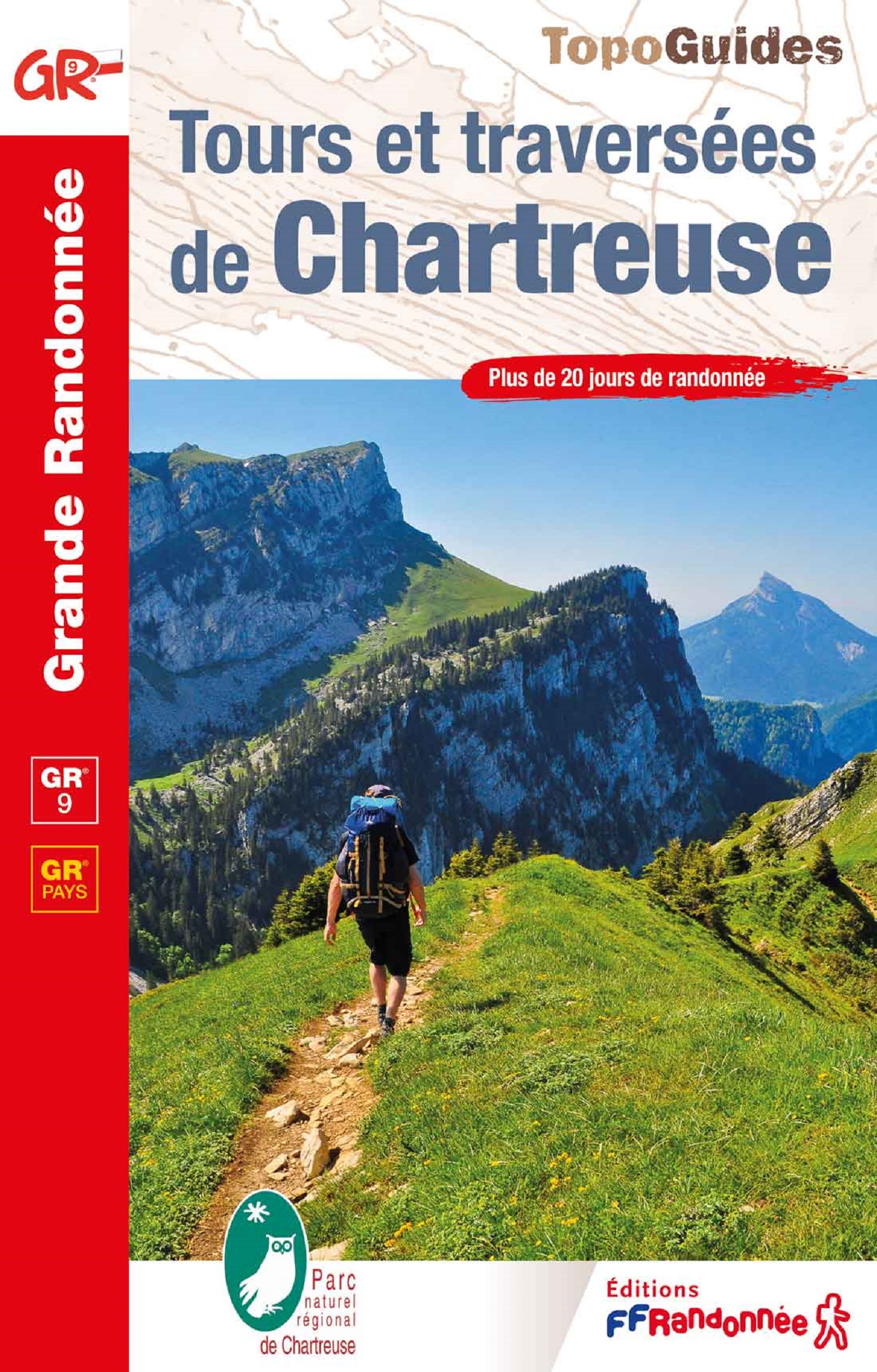
- GR9GPX
- GR90GPX
- GR91 - Traversée du VercorsGPX
- GR92GPX
- GR97 - Tour du LuberonGPX
- GR98 - Les CalanquesGPX
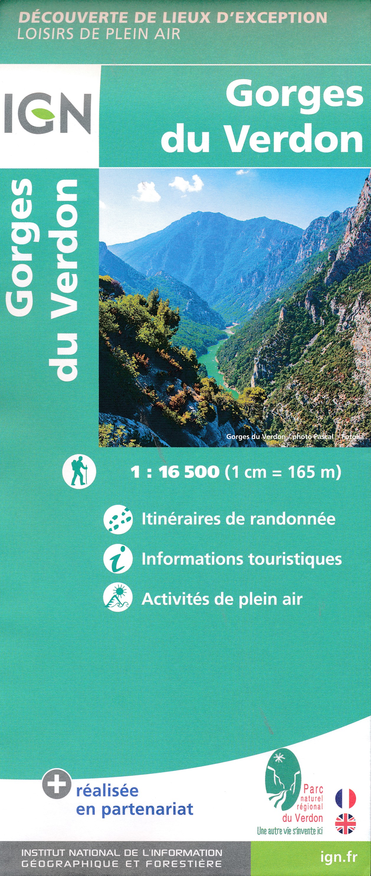
- GR99 - Gorges du VerdonGPX
- GR99AGPX
Links
Feiten
Verslagen
Gidsen en kaarten
Overnachting
Organisaties
Reisorganisaties
GPS
Anders
Boeken
De Zwerver
Netherlands
2024
Netherlands
2024
De Zwerver
Netherlands
2021
Netherlands
2021

De Zwerver
Netherlands
2022
Netherlands
2022
De Zwerver
Netherlands
2024
Netherlands
2024
De Zwerver
Netherlands
Netherlands

De Zwerver
Netherlands
2023
Netherlands
2023


De Zwerver
Netherlands
2014
Netherlands
2014
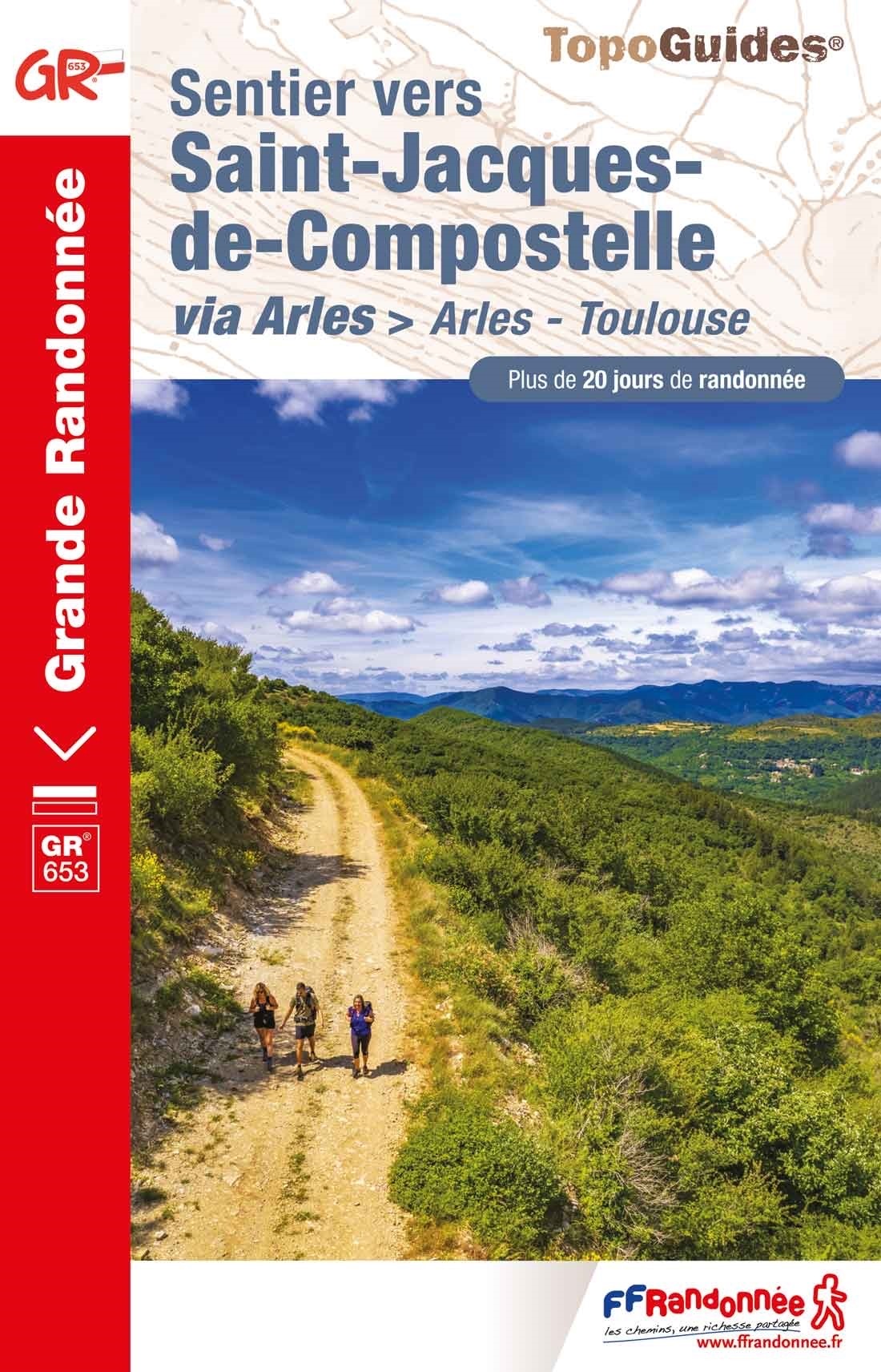
- Wandelgids - Pelgrimsroute 6531 Sentier vers Saint-Jacques-de-Compostelle : Montgenèvre - Arles GR653D | FFRP
- Guide FFRandonnée Sentier vers Saint-Jacques-de-Compostelle : Montgenèvre - Arles - GR 653D - 459 km de sentiers GR. La Voie d'Arles. Un chemin incontournable, à la fois itinéraire jacquaire et ancienne voie romaine, qui vous fera découvrir 4 départements aux paysages contrastés et au... Read more
- Also available from:
- Stanfords, United Kingdom

Stanfords
United Kingdom
2014
United Kingdom
2014
- GR653D Chemins de St-Jacques: Montgenèvre - Arles FFRP Topo-guide No. 6531
- Chemins de St-Jacques: Montgenèvre - Arles, FFRP topoguide Ref. no. 6531, covering a 459km route along the GR653D from Montgenèvre in the French Alps on the Italian border, across Gap, Sisteron, Apt and Cavaillon, to Arles. Current edition of this title was published in June 2014.ABOUT THE FFRP (Fédération française de la randonnée pédestre)... Read more
De Zwerver
Netherlands
Netherlands
Kaarten
De Zwerver
Netherlands
Netherlands
- Also available from:
- Stanfords, United Kingdom

Stanfords
United Kingdom
United Kingdom
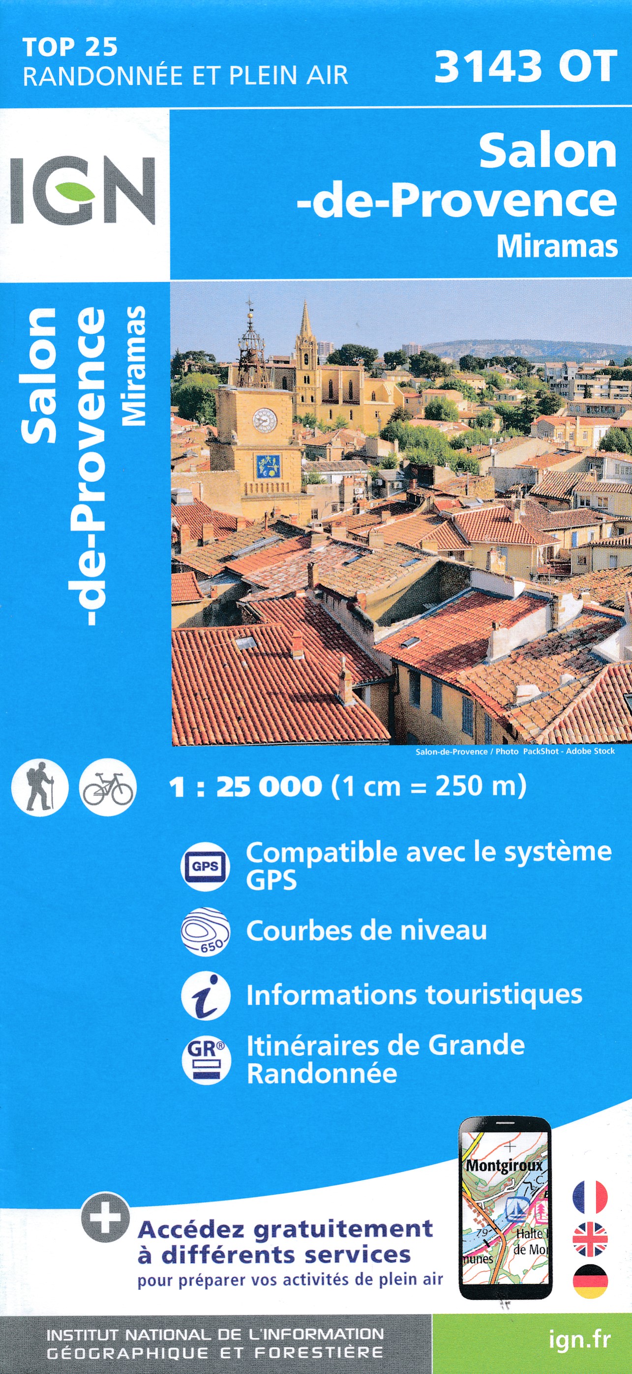
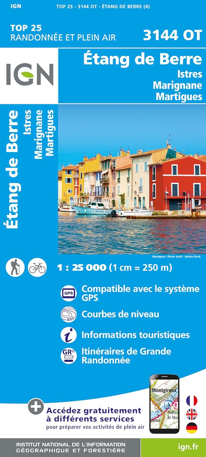
- Salon-de-Provence - Miramas IGN 3143OT
- Between 2014 and 2019, the IGN renewed its entire Serie Bleue collection.A new map for optimal readability, with better geometric precision and enriched tourist information.A new format twice as large: the format of the new Serie Bleue is equivalent to that of the Top 25 and the number of references will thus be divided by 2.For most maps, the... Read more
De Zwerver
Netherlands
2015
Netherlands
2015
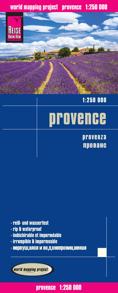
- Wegenkaart - landkaart Provence | Reise Know-How Verlag
- Reise Know-How Landkarte Provence 1 : 250.000 ab 9.95 EURO Reiß- und wasserfest World Mapping Project Reise Know-How. 1. Auflage 2015 Read more


De Zwerver
Netherlands
Netherlands
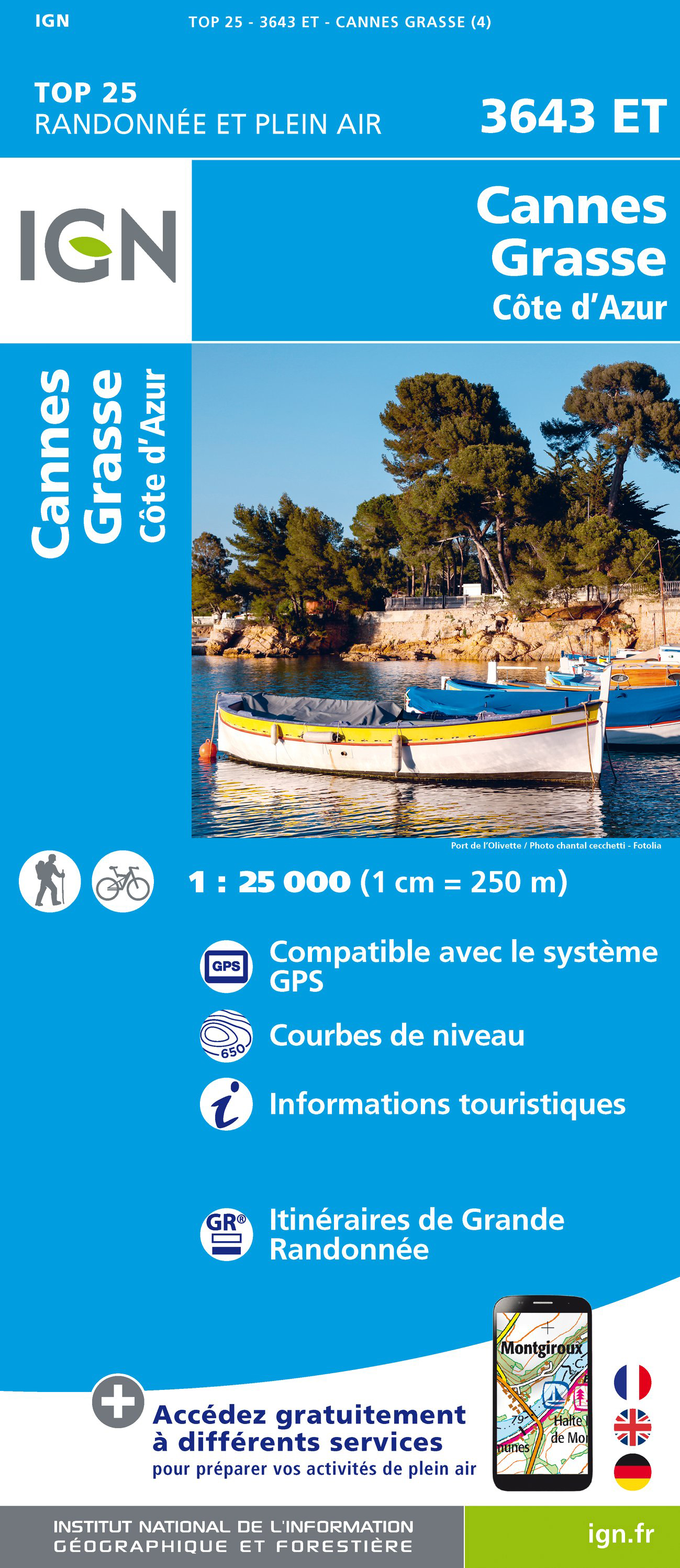
- Wandelkaart - Topografische kaart 3643ET Cannes - Grasse | IGN - Institut Géographique National
- De wandelkaart die de perfectie benadert! Werkelijk alle topografische details zijn er op te vinden; van hoogtelijnen tot aan bruggetjes en allerlei wandelpaden. Daarnaast hebben de makers een flinke dosis toeristische informatie op de kaart verwerkt: campings, gites d étape; restaurants en ingetekende doorgaande wandelpaden, de grandes... Read more
- Also available from:
- Stanfords, United Kingdom
Stanfords
United Kingdom
United Kingdom
- Cannes - Grasse - Cote d`Azur IGN 3643ET
- Topographic survey of France at 1:25,000 in IGN`s excellent TOP25 / Série Bleue series. All the maps are GPS compatible, with a 1km UTM grid plus latitude and longitude lines at 5’ intervals. Contours are at 5m intervals except for mountainous areas where the maps have contours at 10m intervals, vividly enhanced by hill shading and graphics for... Read more
De Zwerver
Netherlands
2024
Netherlands
2024
De Zwerver
Netherlands
Netherlands
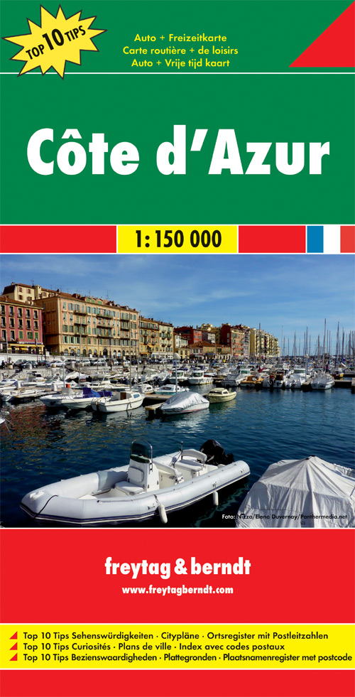
- Wegenkaart - landkaart Côte d'Azur- Franse Riviera | Freytag & Berndt
- Cote d´ Azur 1 : 150 000 ab 10.9 EURO Touristische Informationen. Entfernungen in km. Ortsverzeichnis mit Postleitzahlen. Top 10 Tips Freytag & Berndt Autokarte. Neuauflage Read more
De Zwerver
Netherlands
Netherlands
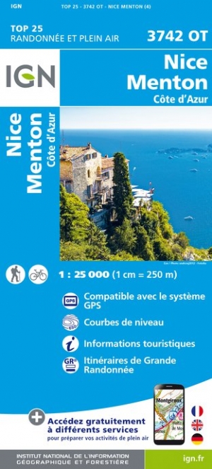
- Wandelkaart - Topografische kaart 3742OT Nice - Menton | IGN - Institut Géographique National
- Wandelkaart - Topografische kaart 3742OT 3742 OT Nice, Menton, Côte d'Azur; Monaco, L'Escarène; La Turbie | IGN De wandelkaart die de perfectie benadert! Werkelijk alle topografische details zijn er op te vinden; van hoogtelijnen tot aan bruggetjes en allerlei wandelpaden. Daarnaast hebben de makers een flinke dosis toeristische informatie op... Read more
- Also available from:
- Stanfords, United Kingdom

Stanfords
United Kingdom
United Kingdom
- Nice - Menton - Cote d`Azur IGN 3742OT
- Topographic survey of France at 1:25,000 in IGN`s excellent TOP25 / Série Bleue series. All the maps are GPS compatible, with a 1km UTM grid plus latitude and longitude lines at 5’ intervals. Contours are at 5m intervals except for mountainous areas where the maps have contours at 10m intervals, vividly enhanced by hill shading and graphics for... Read more
De Zwerver
Netherlands
2013
Netherlands
2013
- Wandelkaart 14 Provence | Didier Richard
- The Marseille - Aix-en-Provence - Toulon area of Provence at 1:60,000, with an enlargement for the Calanques National Park at 1:25,000, on a contoured and GPS compatible map from Didier Richard with a base derived from IGN Read more
- Also available from:
- Stanfords, United Kingdom

Stanfords
United Kingdom
2013
United Kingdom
2013
- Southern Provence: Marseille - Aix-en-Provence - Toulon
- The Marseille - Aix-en-Provence - Toulon area of Provence at 1:60,000, with an enlargement for the Calanques National Park at 1:25,000, on a contoured and GPS compatible map from Didier Richard with a base derived from IGN’s topographic survey, highlighting both local hiking routes and the GR network of long-distance paths, gîtes and mountain... Read more

De Zwerver
Netherlands
2013
Netherlands
2013
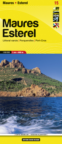
- Wandelkaart 15 Maures Esterel | Didier Richard
- Massif de Maures and the Esterel area of Provence and the French Riviera at 1:60,000 on a contoured and GPS compatible map from Didier Richard with a base derived from IGN Read more
- Also available from:
- Stanfords, United Kingdom

Stanfords
United Kingdom
2013
United Kingdom
2013
- Maures - Esterel Didier Richard 15
- Massif de Maures and the Esterel area of Provence and the French Riviera at 1:60,000 on a contoured and GPS compatible map from Didier Richard with a base derived from IGN’s topographic survey, highlighting both local hiking routes and the GR network of long-distance paths, gîtes d’etape, interesting natural and cultural sites, etc. The map... Read more
De Zwerver
Netherlands
Netherlands
- Also available from:
- Stanfords, United Kingdom

Stanfords
United Kingdom
United Kingdom
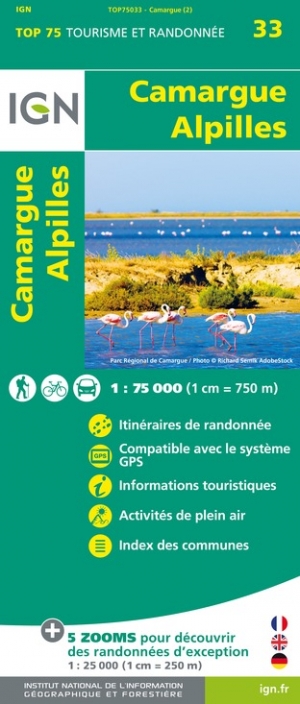
- Camargue - Alpilles IGN 75033
- TOP75 IGN maps (Tourism & Hiking) are ideal for discovering exceptional regions. Thanks to their ultra-precise mapping at a scale of 1:75,000, you can practice your favorite leisure activities: on foot by bike or by car. These maps include, in addition, 5 extracts of TOP25 at a scale of 1:25,000 for hiking in exceptional natural sites. Read more