
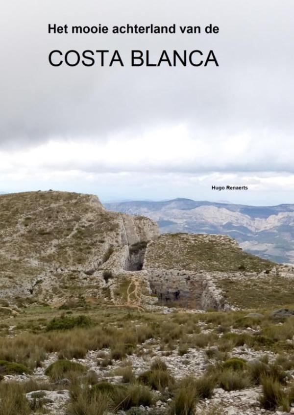
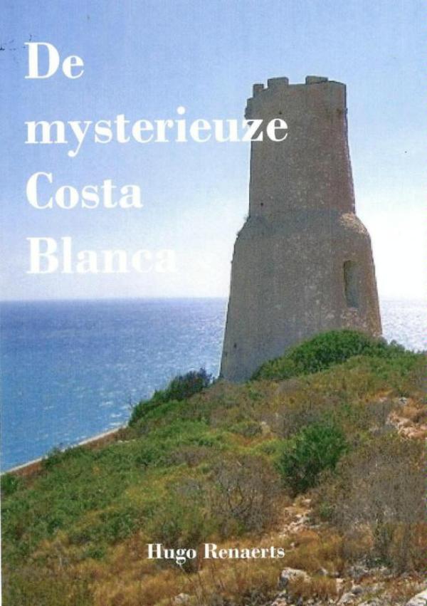
Costa Blanca
Beschrijving
The "White Coast", a popular holiday and beach destination in the South of Spain, Province of Alicante.
Paden in deze regio
Links
Feiten
Verslagen
Gidsen en kaarten
Overnachting
Organisaties
Reisorganisaties
GPS
Anders
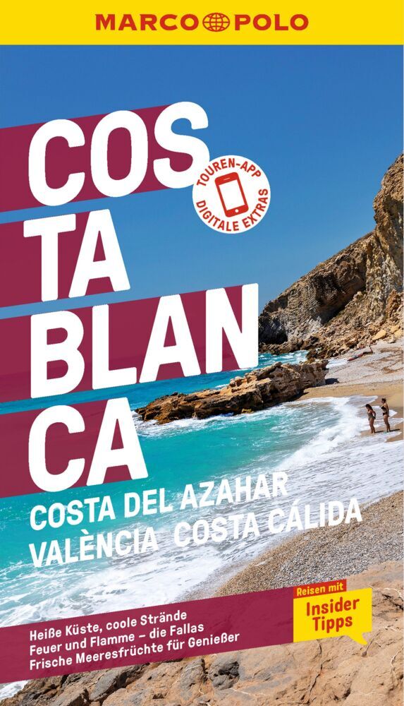
Boeken
De Zwerver
Netherlands
Netherlands
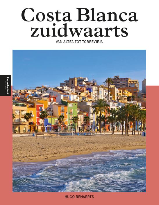
De Zwerver
Netherlands
Netherlands
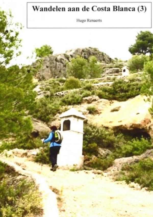
De Zwerver
Netherlands
Netherlands
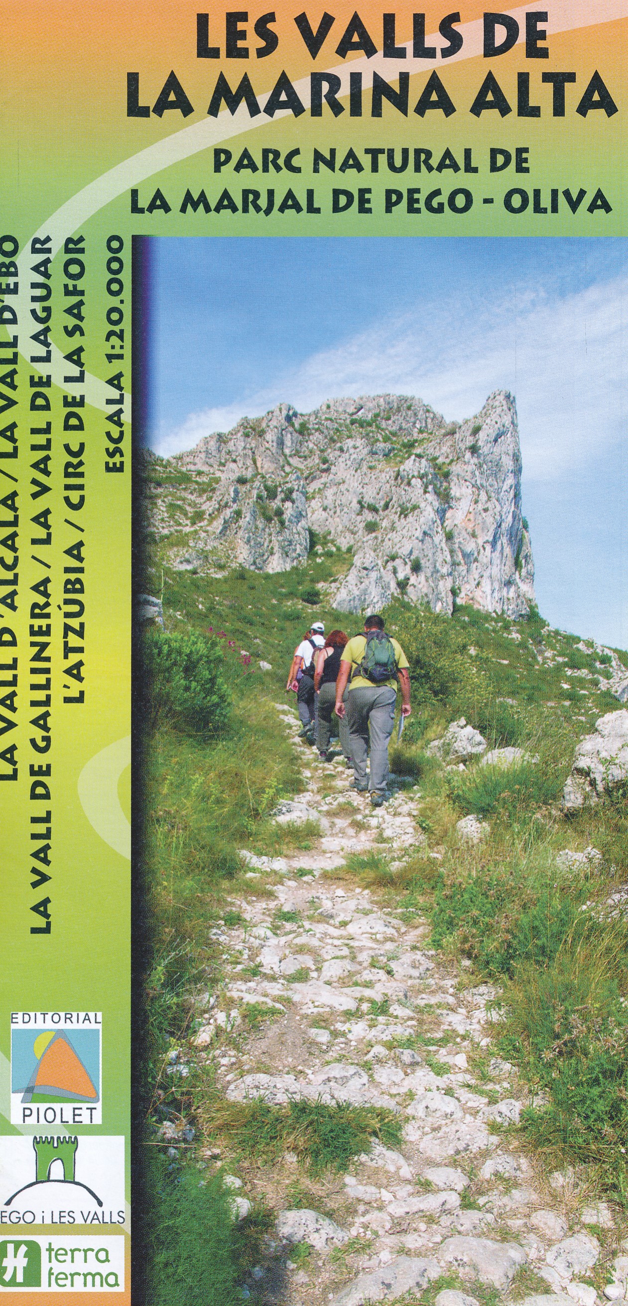
- Wandelkaart Les Valls de la Marina Alta - PN de la Marjal de Pego - Oliva | Editorial Piolet
- Three valleys – Gallinera, Alcalà and Ebo – with the surrounding sierras in the hinterland of the northern Costa Blanca on a contoured and GPS compatible map at 1:20,000 from Editorial Piolet, with on the reverse detail and route profiles of 21 recommended walks. Centered on Benissivà and Benirrama, coverage extends north across Serra de... Read more
- Also available from:
- Stanfords, United Kingdom

Stanfords
United Kingdom
United Kingdom
- Marina Alta Valleys Editorial Piolet Hiking Map
- Three valleys – Gallinera, Alcalà and Ebo – with the surrounding sierras in the hinterland of the northern Costa Blanca on a contoured and GPS compatible map at 1:20,000 from Editorial Piolet, with on the reverse detail and route profiles of 21 recommended walks. Centered on Benissivà and Benirrama, coverage extends north across Serra de... Read more
De Zwerver
Netherlands
2018
Netherlands
2018
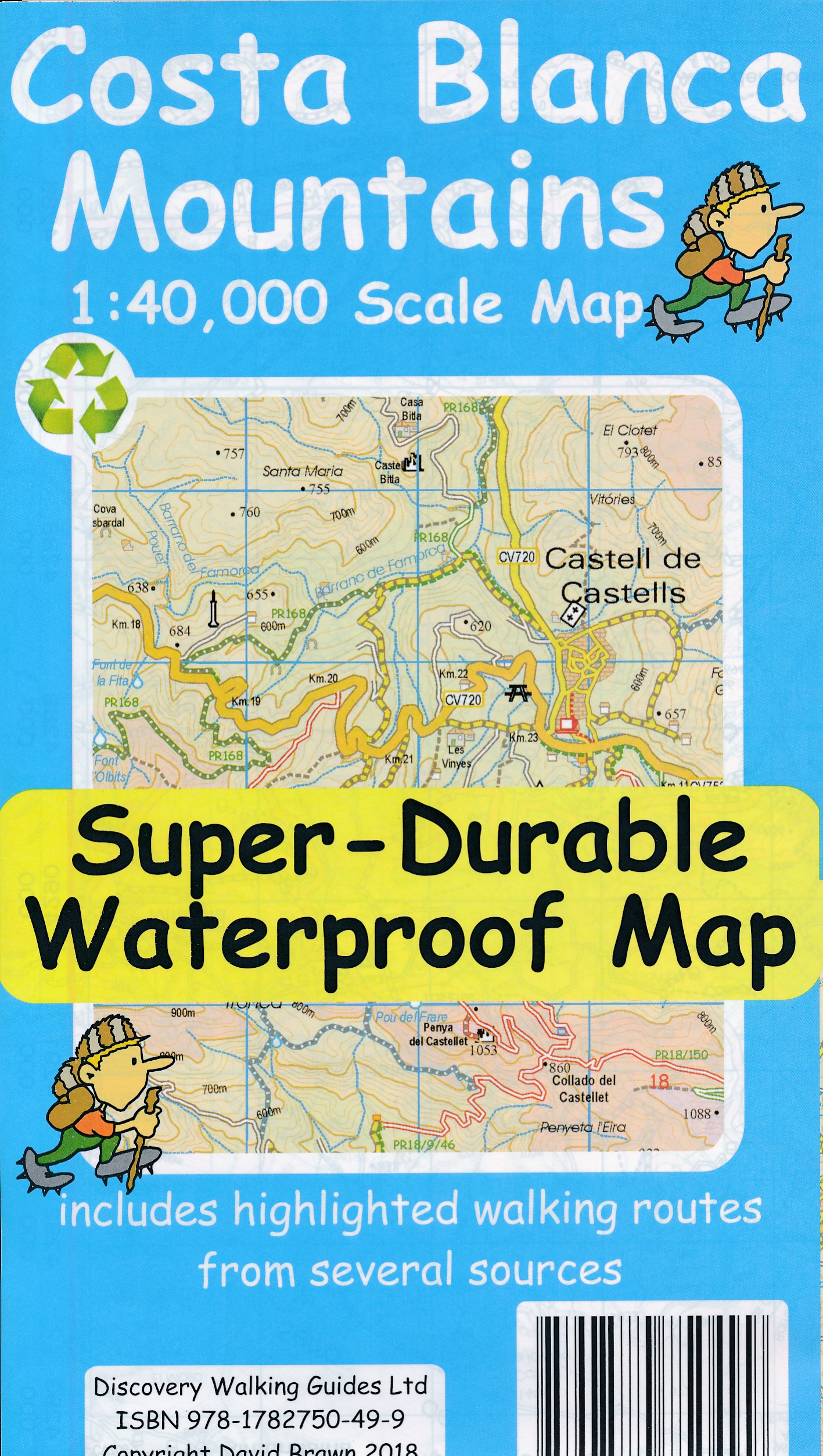
- Wandelkaart Tour & Trail Costa Blanca mountains | Discovery Walking Guides
- Costa Blanca Mountains at 1:40,000 on a double-sided, GPS compatible map from Discovery Walking Guides, with hiking routes and tourist information shown on detailed topographic mapping which provides an excellent presentation of the terrain. The map is printed on light, waterproof and tear-resistant synthetic paper and covers the mountainous... Read more
- Also available from:
- Stanfords, United Kingdom

Stanfords
United Kingdom
2018
United Kingdom
2018
- Costa Blanca Mountains Super-Durable Map
- Costa Blanca Mountains at 1:40,000 on a double-sided, GPS compatible map from Discovery Walking Guides, with hiking routes and tourist information shown on detailed topographic mapping which provides an excellent presentation of the terrain. The map is printed on light, waterproof and tear-resistant synthetic paper and covers the mountainous... Read more
Bol.com
Netherlands
Netherlands
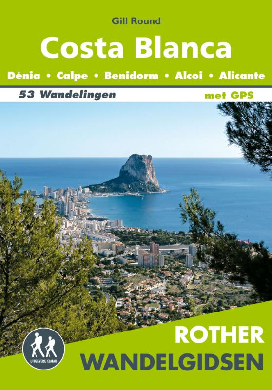
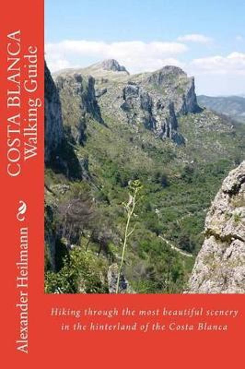
- Costa Blanca Walking Guide
- Hiking and restaurant guide of the hinterland of the Costa Blanca Read more
- Also available from:
- Bol.com, Belgium
Bol.com
Belgium
Belgium
- Costa Blanca Walking Guide
- Hiking and restaurant guide of the hinterland of the Costa Blanca Read more
Kaarten
De Zwerver
Netherlands
Netherlands
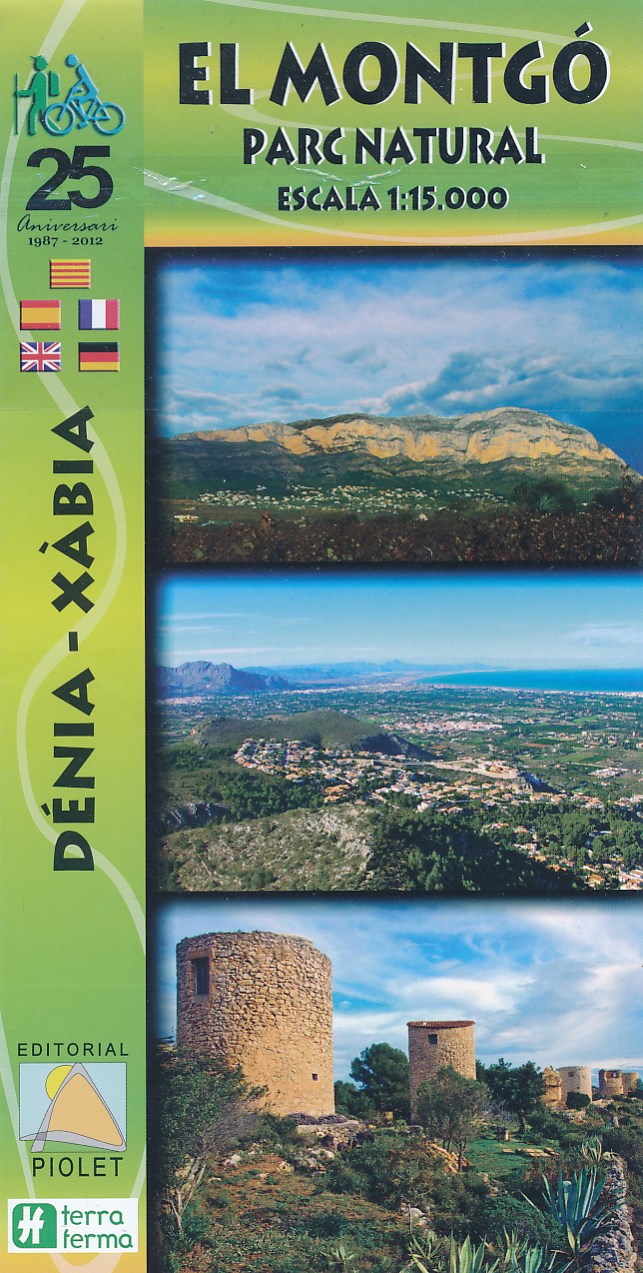
- Wandelkaart El Montgo Parc Natural | Editorial Piolet
- Gedetailleerde waterproof topografische wandelkaart met ingetekende wandelroutes voor Serra i el Parc Natural del Montgó en omgeving in Valencia Deze gedetailleerde wandelkaart laat zien waar de diverse wandelroutes zijn, waar u hutten kunt vinden, en historisch interessante locaties in het gebied. Deze kaart kan in combinatie met GPS worden... Read more
De Zwerver
Netherlands
Netherlands
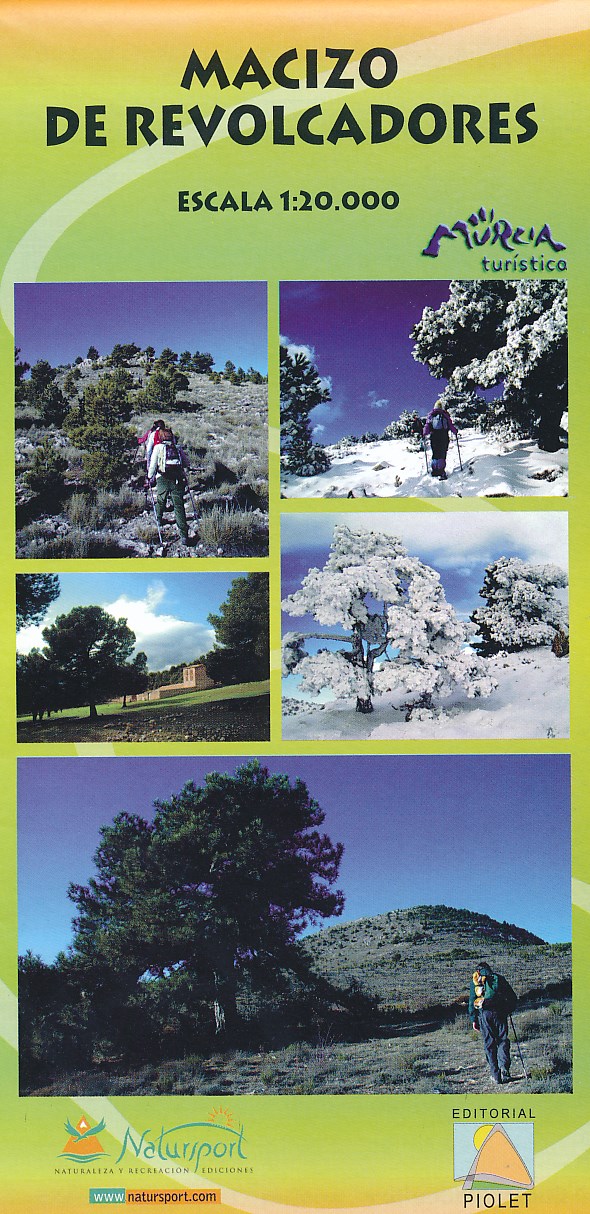
- Wandelkaart Macizo de Revolcadores | Editorial Piolet
- Uitstekende wandelkaart van een klein gebied. Met ingetekende wandelroutes en hoogtelijnen. Excellent 1:20.000 scale map of the area of Macizo de Revolcadores in Murcia. Includes local signaling pathways, GR, PR, Nordik Walking tour and most characteristic areas of diving. Equidistance between contours 10 m. Read more
- Also available from:
- Stanfords, United Kingdom

Stanfords
United Kingdom
United Kingdom
- Macizo de Revolcadores
- Macizo de Revolcadores in the western part of Murcia provice, just east of the borders with the Granada and Albacete provinces, on a contoured and GPS compatible map at 1:20,000 from Editorial Piolet. Coverage includes Sierra de Taibilla and Sierra de Villafuerte.Topography is presented by contours at 10m intervals with plenty of additional... Read more
De Zwerver
Netherlands
Netherlands
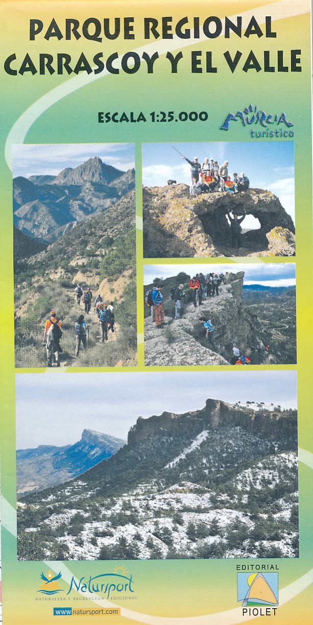
- Wandelkaart Parque Regional Carrascoy y el Valle | Editorial Piolet
- Uitstekende wandelkaart van een klein gebied. Met ingetekende wandelroutes en hoogtelijnen. Excellent 1:20.000 scale map of the area of Regional Park Carrascoy y el Valle in Murcia. Includes local signaling pathways, GR, PR, Nordik Walking tour and most characteristic areas of diving. Equidistance between contours 10 m. Read more
De Zwerver
Netherlands
Netherlands
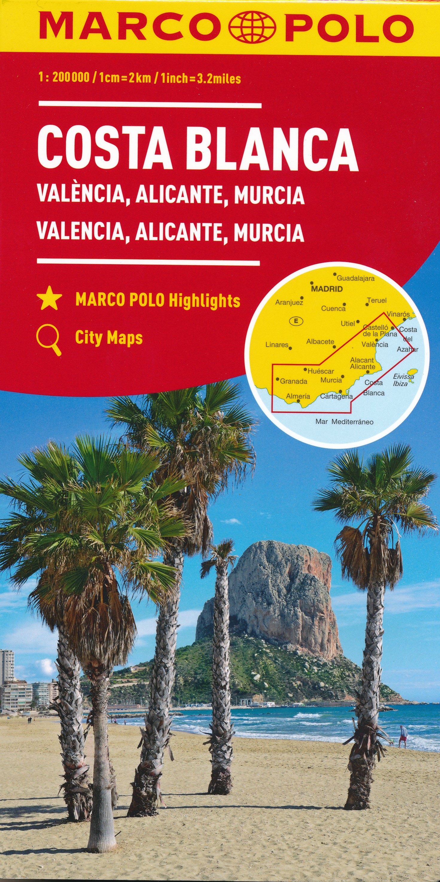
- Wegenkaart - landkaart Costa Blanca Valencia Granada | Marco Polo
- MARCO POLO Karte Costa Blanca, Valencia, Alicante, Castellón, Murcia 1:200 000 ab 9.99 EURO Marco Polo Karte. 4. Auflage Read more
De Zwerver
Netherlands
Netherlands
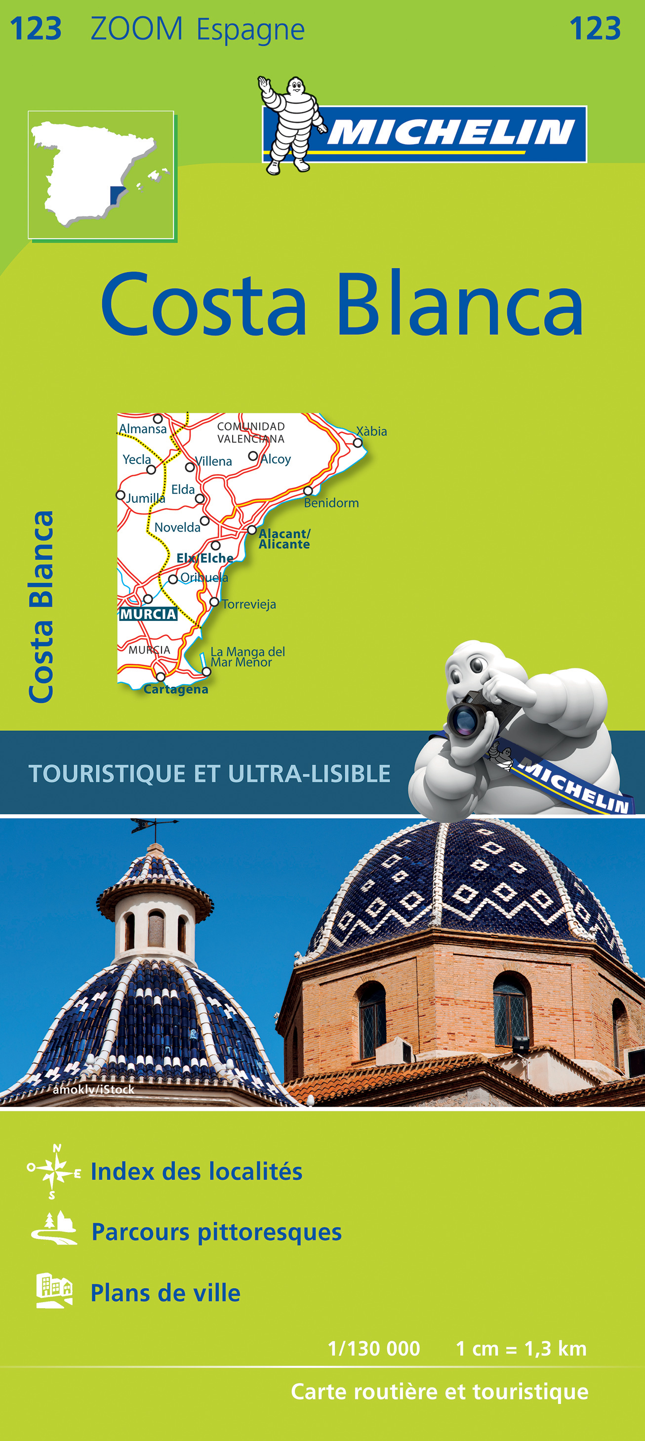
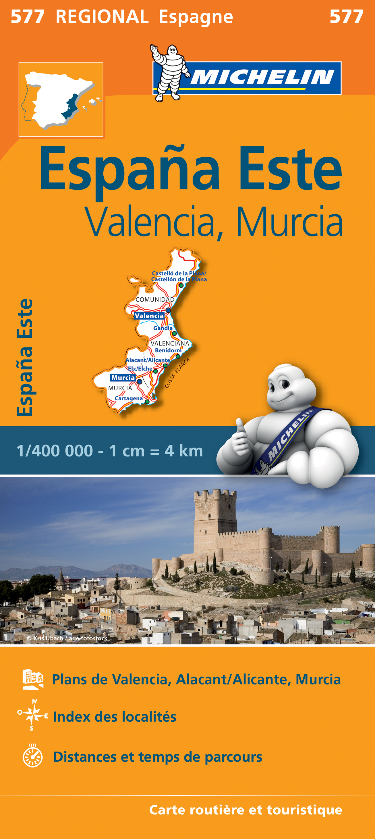
- Wegenkaart - landkaart 577 Comunidad Valenciana - Murcia - Alicante - Benidorm | Michelin
- une carte fiable pour parcourir les régions d'Europe Read more
De Zwerver
Netherlands
Netherlands
- Also available from:
- Stanfords, United Kingdom

Stanfords
United Kingdom
United Kingdom
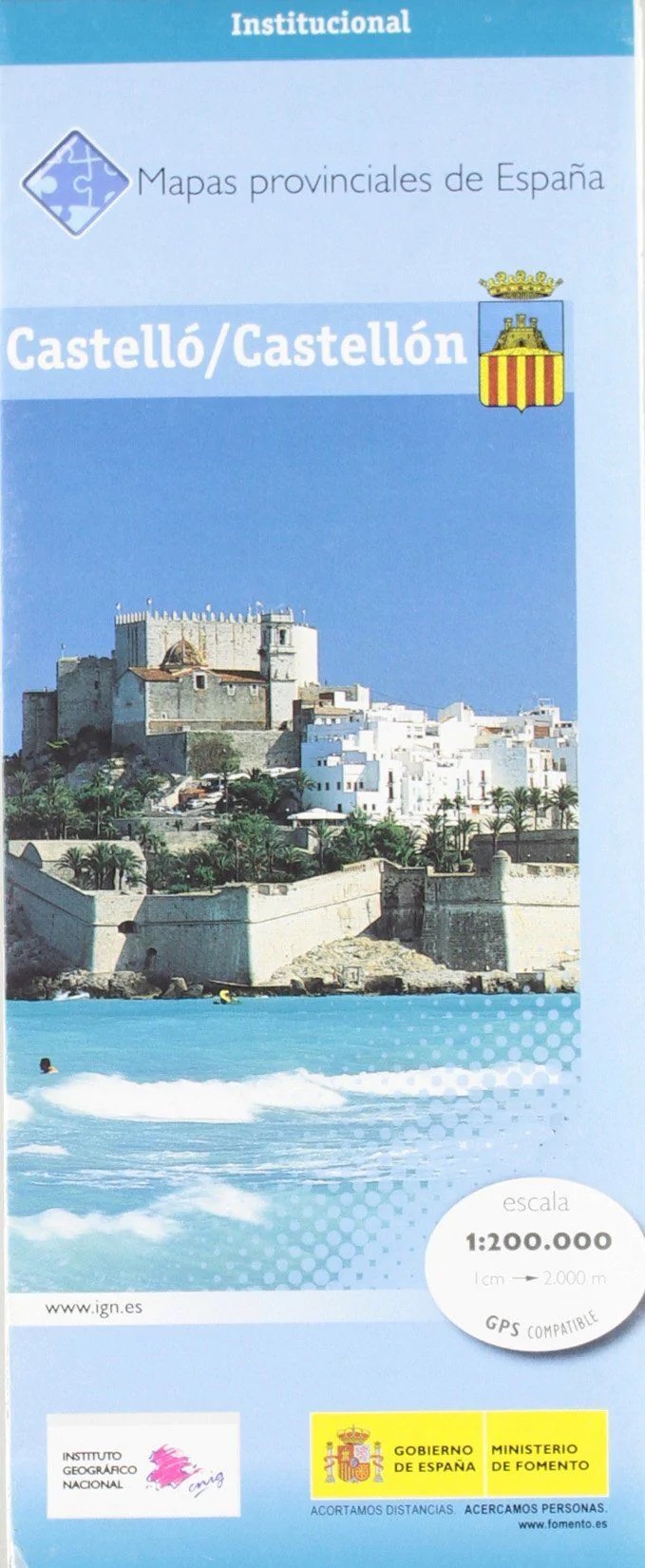
- Castellón / Castello Province 200K CNIG Map 14
- Contoured, GPS-compatible, indexed road map at 1:200,000 from CNIG - Spain’s civilian survey organization, with exceptionally informative presentation of the landscape and highlighting for facilities and places of interest including campsites and paradors.Maps in CNIG’s 200K Provincial Series provide an excellent picture the topography through... Read more
De Zwerver
Netherlands
Netherlands
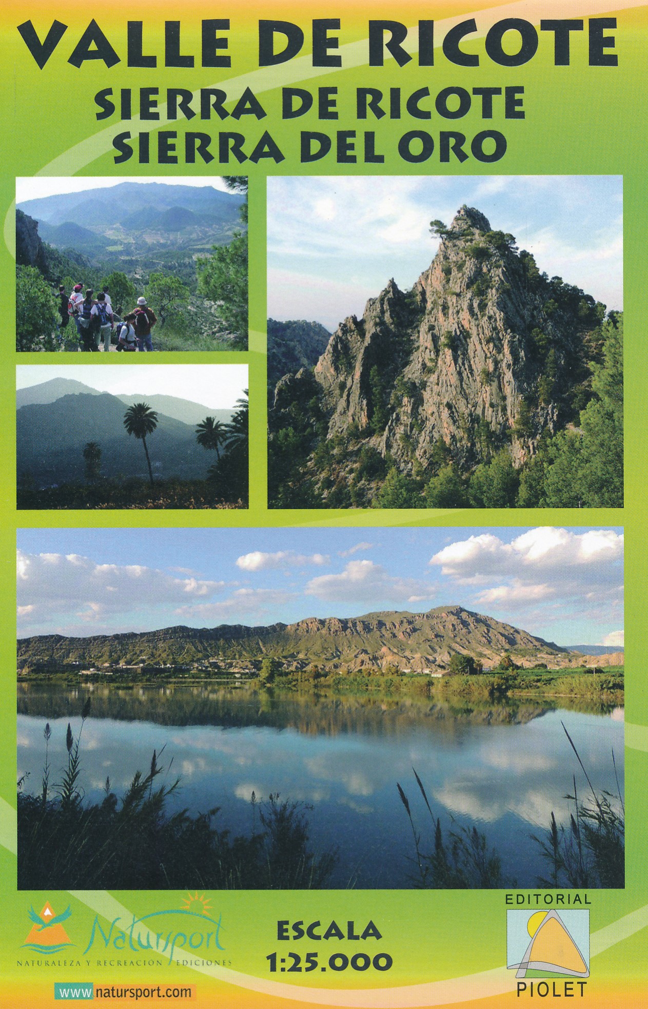
- Wandelkaart Valle de Ricote - Sierra de Ricote - Sierra del Oro | Editorial Piolet
- Valle de Ricote, Sierra de Ricote and Sierra del Oro north-west of Murcia on a contoured and GPS compatible map at 1:25,000 from Editorial Piolet. Coverage extends westwards from Archena, north to Abarán, and south to the RM-530 road.Topography is presented by contours at 10m intervals with plenty of additional spot heights. An overprint shows... Read more
- Also available from:
- Stanfords, United Kingdom

Stanfords
United Kingdom
United Kingdom
- Valle de Ricote - Sierra de Ricote - Sierra del Oro
- Valle de Ricote, Sierra de Ricote and Sierra del Oro north-west of Murcia on a contoured and GPS compatible map at 1:25,000 from Editorial Piolet. Coverage extends westwards from Archena, north to Abarán, and south to the RM-530 road.Topography is presented by contours at 10m intervals with plenty of additional spot heights. An overprint shows... Read more
De Zwerver
Netherlands
Netherlands
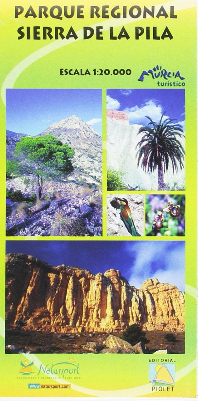
- Wandelkaart Parque Regional Sierra de la Pila | Editorial Piolet
- Sierra de la Pila Regional Park at 1:20,000 in a series of GPS compatible maps from Editorial Piolet with cartography based on Spain Read more
- Also available from:
- Stanfords, United Kingdom

Stanfords
United Kingdom
United Kingdom
- Sierra de la Pila Regional Park
- Sierra de la Pila Regional Park at 1:20,000 in a series of GPS compatible maps from Editorial Piolet with cartography based on Spain’s civilian topographic survey overprinted with hiking routes and other tourist information. Colouring indicates different conservation zones within the Regional Park. Road network shows locations of petrol... Read more
De Zwerver
Netherlands
Netherlands
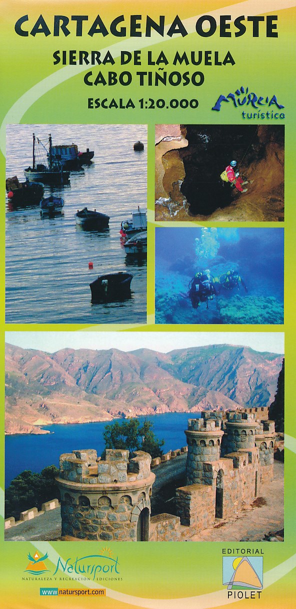
- Wandelkaart Cartagena Oeste - Sierra de la Muela | Editorial Piolet
- Uitstekende wandelkaart van een klein gebied. Met ingetekende wandelroutes en hoogtelijnen. Excellent 1:20.000 scale map of the area of West Cartagena (Murcia). Includes local signaling pathways, GR, PR, Nordik Walking tour and most characteristic areas of diving. Equidistance between contours 10 m. Read more
De Zwerver
Netherlands
2020
Netherlands
2020
- Also available from:
- Stanfords, United Kingdom
Stanfords
United Kingdom
2020
United Kingdom
2020
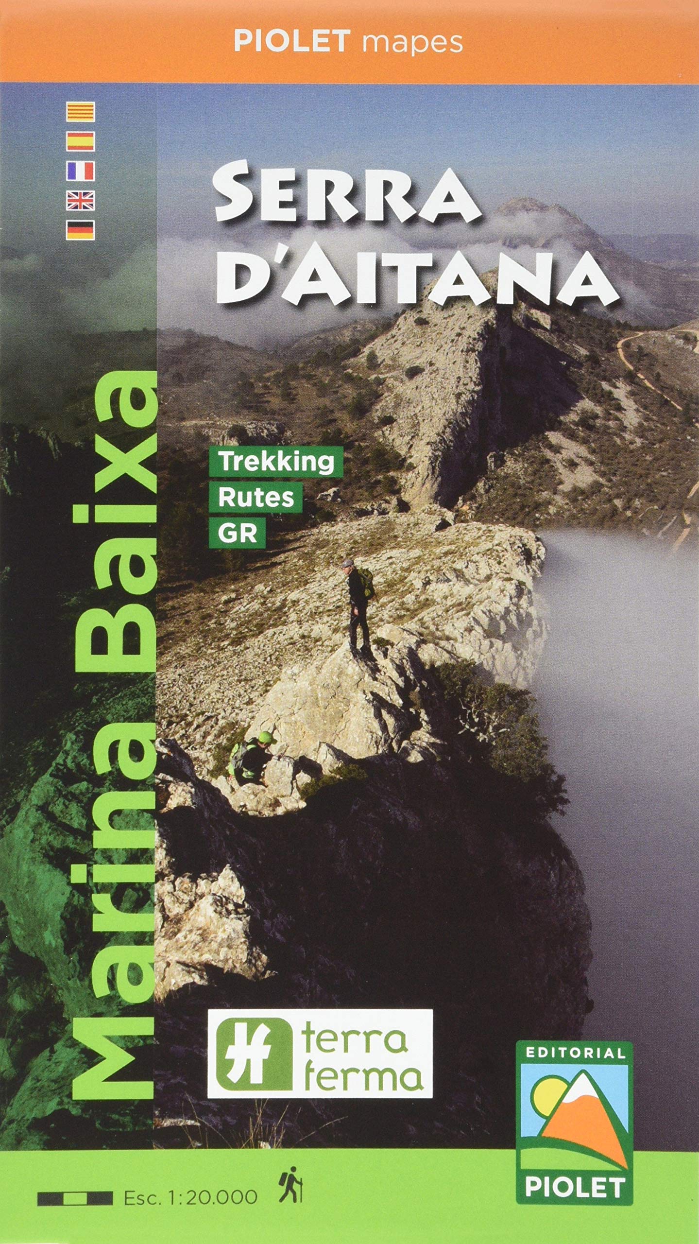
- Marina Baixa - Serra d`Aitana Editorial Piolet
- Marina Baixa: Serra d`Aitana area at 1:20,000 in a series of GPS compatible maps from Editorial Piolet with cartography based on Spain’s civilian topographic survey overprinted with hiking routes and other tourist information. Road network indicates locations of petrol stations. Local villages are annotated to show what facilities can be found... Read more
De Zwerver
Netherlands
2018
Netherlands
2018
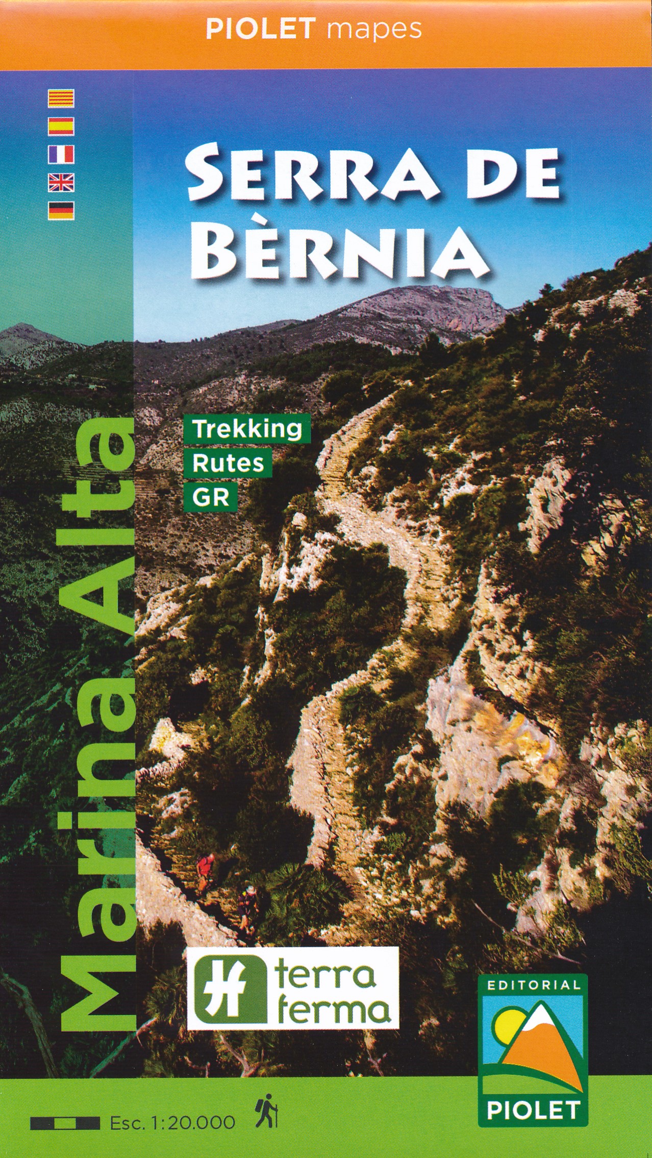
- Wandelkaart Marina Alta Serra de Bernia | Editorial Piolet
- Heel nauwkeurige wandelkaart van een mooi gebied net ten noorden van Benidorm. De Spaanse uitgever Editorial Piolet maakt bijzonder gedetailleerde kaarten van deelgebieden in Spanje, geschikt voor wandelaars en MTB-ers. Van ouds her zijn ze begonnen in de regio rond Barcelona maar ze breiden steeds meer uit richting andere delen van Spanje, De... Read more
- Also available from:
- Stanfords, United Kingdom

Stanfords
United Kingdom
2018
United Kingdom
2018
- Serra de Bernia - Marina Alta Editorial Piolet
- Marina Alta: Serra de Bernia area at 1:20,000 in a series of GPS compatible maps from Editorial Piolet with cartography based on Spain’s civilian topographic survey overprinted with hiking routes and other tourist information. Road network indicates locations of petrol stations. Local villages are annotated to show what facilities can be found... Read more