
Washington
Beschrijving
Washington, bordering on Canada and the Pacific Ocean, is very scenic. The Cascades run from north to south, and are covered by the long and strenuous Pacific Crest Trail.
This wilderness counts a string of national forests and parks, with many thousands of miles of trails. Best are Wenatchee National Forest, Mount Baker-Snoqualmie National Forest. Okanogan National Forest, Gifford Pinchot National Forest, Mount Rainier National Park with its 93 mile circular Wonderland Trail, North Cascades National Park and Colville National Forest.
A different and very scenic part of Washington is the Olympic Peninsula, with its National Park and National Forest.
Finally, we should mention the American Discovery Trail and Pacific Northwest Trail.
Kaart

Paden in deze landsdeel
Links
Feiten
Verslagen
Gidsen en kaarten
Overnachting
Organisaties
Reisorganisaties
GPS
Anders
Boeken
De Zwerver
Netherlands
2020
Netherlands
2020

De Zwerver
Netherlands
2020
Netherlands
2020
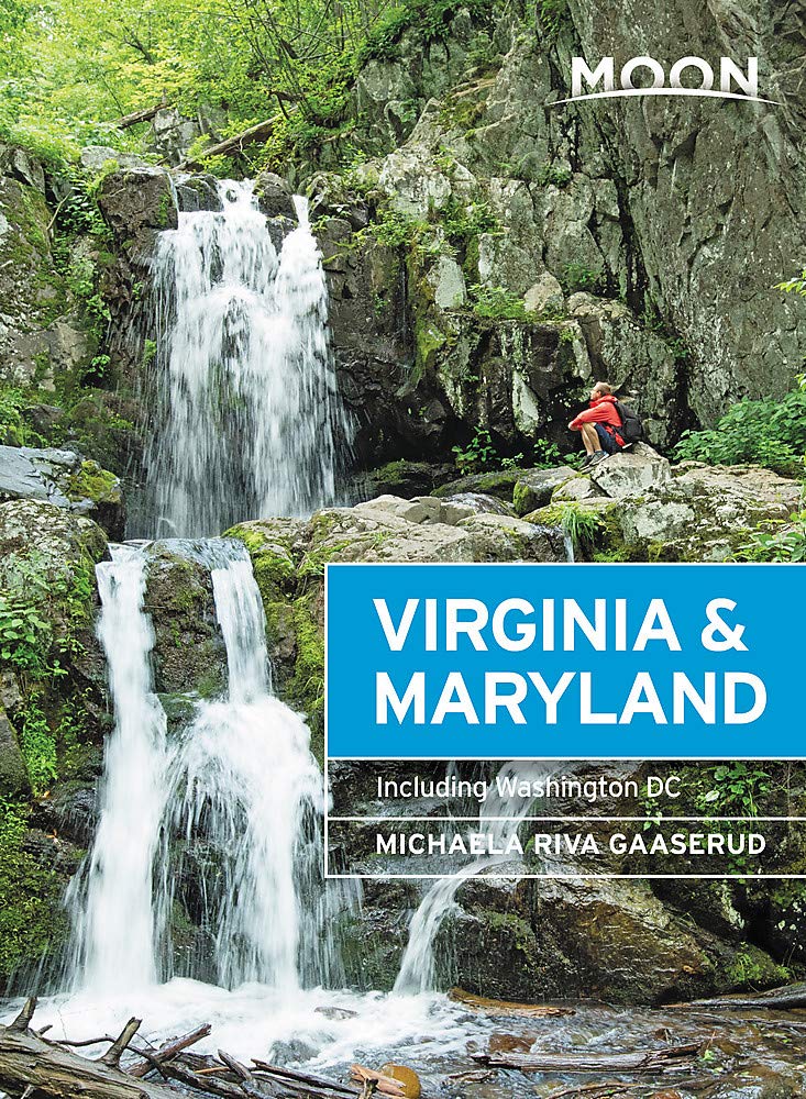
- Reisgids Washington DC | Moon Travel Guides
- From strolling the National Mall to hobnobbing at happy hour, get to know the nation`s capital with Moon Washington DC. *Navigate the Neighbourhoods: Follow one of our guided neighbourhood walks through the National Mall, Dupont Circle, U Street, and more*Explore the City: Snap the perfect photo of the Washington Monument, stand where MLK... Read more
- Also available from:
- Stanfords, United Kingdom

Stanfords
United Kingdom
2020
United Kingdom
2020
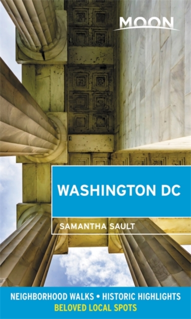
- Moon Washington DC (Second Edition): Neighborhood Walks, Historic Highlights, Beloved Local Spots
- From strolling the National Mall to hobnobbing at happy hour, get to know the nation`s capital with Moon Washington DC. *Navigate the Neighbourhoods: Follow one of our guided neighbourhood walks through the National Mall, Dupont Circle, U Street, and more*Explore the City: Snap the perfect photo of the Washington Monument, stand where MLK... Read more

De Zwerver
Netherlands
2020
Netherlands
2020

De Zwerver
Netherlands
2018
Netherlands
2018
- Reisgids Explore Washington DC | Insight Guides
- Insight Guides Explore: pocket-sized books to inspire your on-foot exploration of top international destinations. Now with free eBook. Practical, pocket-sized and packed with inspirational insider information, this will make the ideal on-the-move companion to your trip to Washington, DC Enjoy over 12 irresistible Best Routes to walk, from The... Read more
De Zwerver
Netherlands
2022
Netherlands
2022
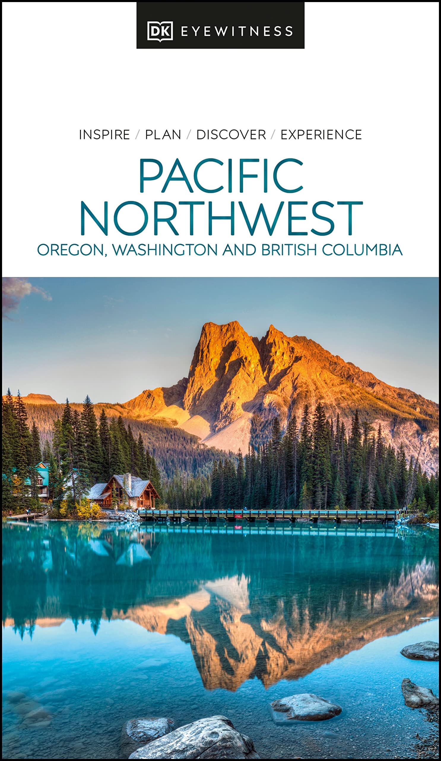
- Reisgids Eyewitness Travel USA- Canada the Pacific Northwest | Dorling Kindersley
- Marrying vibrant cities with impeccable wilderness, the Pacific Northwest is as rich as it is diverse.Whether you want to drive along epic coastal highways, hike the pristine paths of Yoho National Park, or tuck into succulent street food in Portland, your DK Eyewitness travel guide makes sure you experience all that the Pacific Northwest has... Read more
- Also available from:
- Stanfords, United Kingdom

Stanfords
United Kingdom
2022
United Kingdom
2022
- DK Eyewitness Pacific Northwest
- Marrying vibrant cities with impeccable wilderness, the Pacific Northwest is as rich as it is diverse.Whether you want to drive along epic coastal highways, hike the pristine paths of Yoho National Park, or tuck into succulent street food in Portland, your DK Eyewitness travel guide makes sure you experience all that the Pacific Northwest has... Read more


De Zwerver
Netherlands
Netherlands
- Reisverhaal Six Months With Three Pairs Of Undies | André De Jel, Lian De Jel
- The Pacific Crest Trail Read more

De Zwerver
Netherlands
2018
Netherlands
2018

Bol.com
Netherlands
2017
Netherlands
2017
- Capitool Reisgidsen Top 10 - Londen
- Capitool Top 10 Londen- Top 10 van onder andere de beste restaurants, de mooiste bezienswaardigheden en de leukste winkels- Met de uitneembare kaart vind je gemakkelijk de weg- De schitterende foto's brengen de stad tot leven- Compact formaat, ideaal om mee te nemen- Diverse wandelroutes leiden je door de historische wijken van Londen Top 10... Read more
- Also available from:
- Bol.com, Belgium
Bol.com
Belgium
2017
Belgium
2017
- Capitool Reisgidsen Top 10 - Londen
- Capitool Top 10 Londen- Top 10 van onder andere de beste restaurants, de mooiste bezienswaardigheden en de leukste winkels- Met de uitneembare kaart vind je gemakkelijk de weg- De schitterende foto's brengen de stad tot leven- Compact formaat, ideaal om mee te nemen- Diverse wandelroutes leiden je door de historische wijken van Londen Top 10... Read more
Bol.com
Netherlands
Netherlands
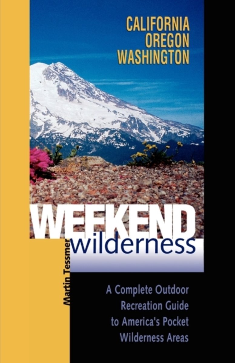
- Weekend Wilderness
- Of America's 680 designated wilderness areas, 200 are pocket wildernesses of fewer than 12,000 acres. These small wonders are wilder than most parks and forests, yet their size makes them more intimate and approachable than their larger counterparts. They are small enough to be thoroughly explored over a long weekend, but large enough to offer... Read more
- Also available from:
- Bol.com, Belgium
Bol.com
Belgium
Belgium
- Weekend Wilderness
- Of America's 680 designated wilderness areas, 200 are pocket wildernesses of fewer than 12,000 acres. These small wonders are wilder than most parks and forests, yet their size makes them more intimate and approachable than their larger counterparts. They are small enough to be thoroughly explored over a long weekend, but large enough to offer... Read more
Bol.com
Netherlands
Netherlands
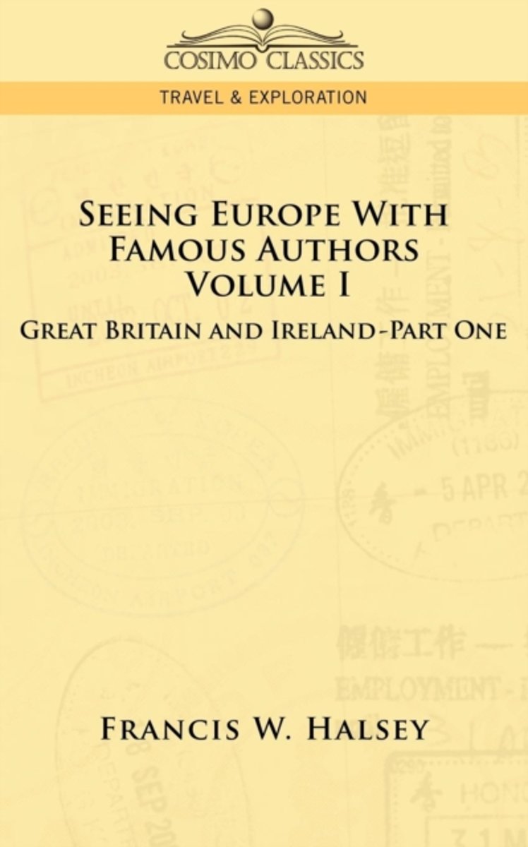
- Seeing Europe with Famous Authors
- Emerging from his hotel for a walk in the street, the tourist, even tho his visit be not the first, will note the ancient look of things. Here are buildings that have survived for two, or even five, hundred years, and yet they are still found fit for the purposes for which they are put.... Leaving a great thoroughfare for a side street, a... Read more
- Also available from:
- Bol.com, Belgium
Bol.com
Belgium
Belgium
- Seeing Europe with Famous Authors
- Emerging from his hotel for a walk in the street, the tourist, even tho his visit be not the first, will note the ancient look of things. Here are buildings that have survived for two, or even five, hundred years, and yet they are still found fit for the purposes for which they are put.... Leaving a great thoroughfare for a side street, a... Read more
Bol.com
Netherlands
Netherlands
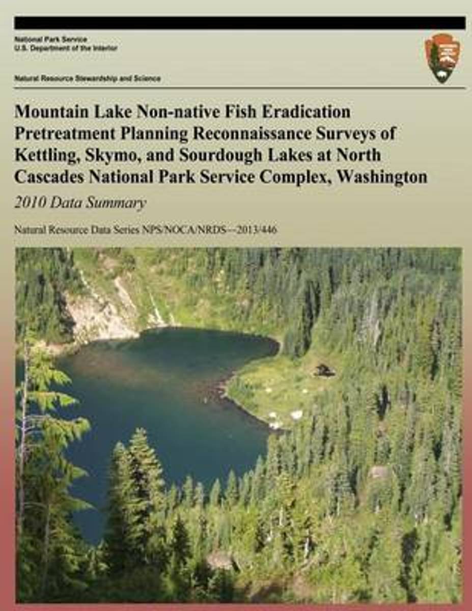
- Mountain Lake Non-Native Fish Eradication Pretreatment Planning Reconnaissance Surveys of Kettling, Skymo, and Sourdough Lakes at North Cascades National Park Service Complex, Washington
- Ninety- three naturally fishless mountain lakes found in the park complex have been stocked with non-native trout, and currently 33 of these lakes contain naturally reproducing populations. These self-sustaining fish populations have the ability to overpopulate with multiple age classes, effectively dominating many trophic levels and consuming... Read more
- Also available from:
- Bol.com, Belgium
Bol.com
Belgium
Belgium
- Mountain Lake Non-Native Fish Eradication Pretreatment Planning Reconnaissance Surveys of Kettling, Skymo, and Sourdough Lakes at North Cascades National Park Service Complex, Washington
- Ninety- three naturally fishless mountain lakes found in the park complex have been stocked with non-native trout, and currently 33 of these lakes contain naturally reproducing populations. These self-sustaining fish populations have the ability to overpopulate with multiple age classes, effectively dominating many trophic levels and consuming... Read more

Bol.com
Netherlands
Netherlands
- Morristown
- Morristown, New Jersey first earned its place in history during the Revolutionary War when General George Washington camped here with the Continental army, an event that led to the founding of the first National Historic Park in 1933. Morristown preserves history while keeping up with the times, often forging ahead of the pack and into the... Read more
- Also available from:
- Bol.com, Belgium
Bol.com
Belgium
Belgium
- Morristown
- Morristown, New Jersey first earned its place in history during the Revolutionary War when General George Washington camped here with the Continental army, an event that led to the founding of the first National Historic Park in 1933. Morristown preserves history while keeping up with the times, often forging ahead of the pack and into the... Read more
Kaarten
De Zwerver
Netherlands
Netherlands
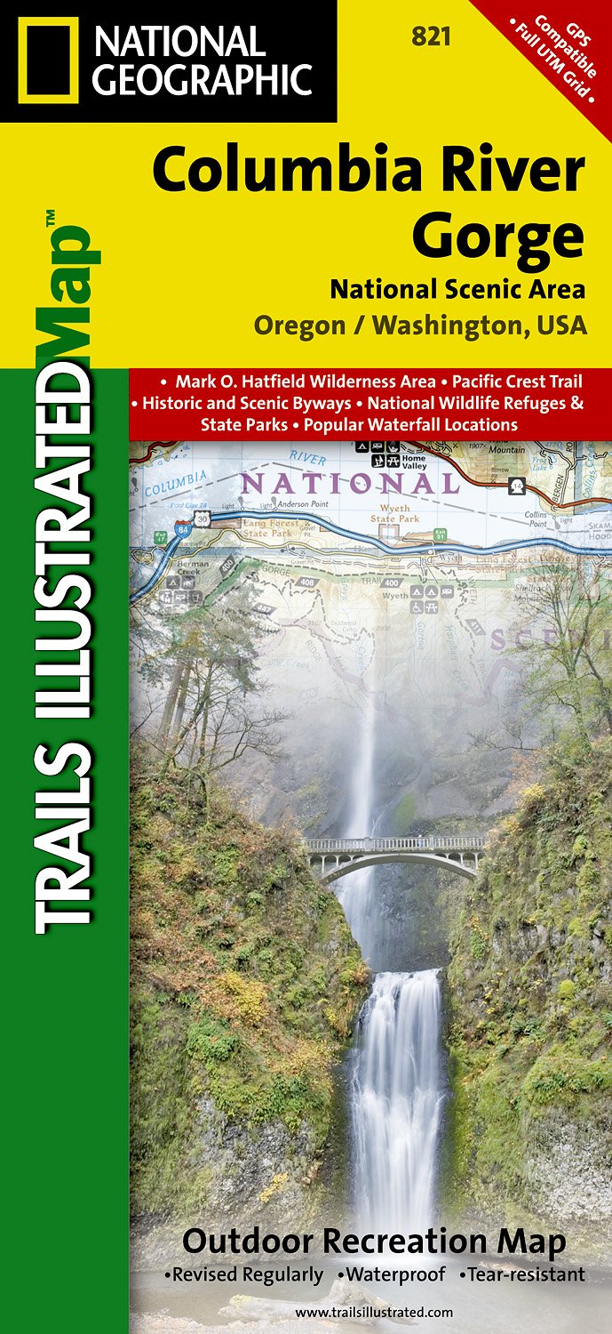
- Wandelkaart - Topografische kaart 821 Columbia River Gorge National Scenic Area | National Geographic
- Prachtige geplastificeerde kaart van het bekende nationaal park. Met alle recreatieve voorzieningen als campsites, maar ook met topografische details en wandelroutes ed. Door uitgekiend kleurgebruik zeer prettig in gebruik. Scheur en watervast! Considered one of the best year-round outdoor recreation areas in the country, the Columbia River... Read more
- Also available from:
- Stanfords, United Kingdom

Stanfords
United Kingdom
United Kingdom
- Columbia River Gorge OR/WA NGS Trails Illustrated Map 821
- Map No. 821, Columbia River Gorge in Oregon and Washington State, in an extensive series of GPS compatible, contoured hiking maps of USA’s national and state parks or forests and other popular recreational areas. Cartography based on the national topographic survey, with additional tourist information.The maps, with most titles now printed on... Read more
De Zwerver
Netherlands
Netherlands
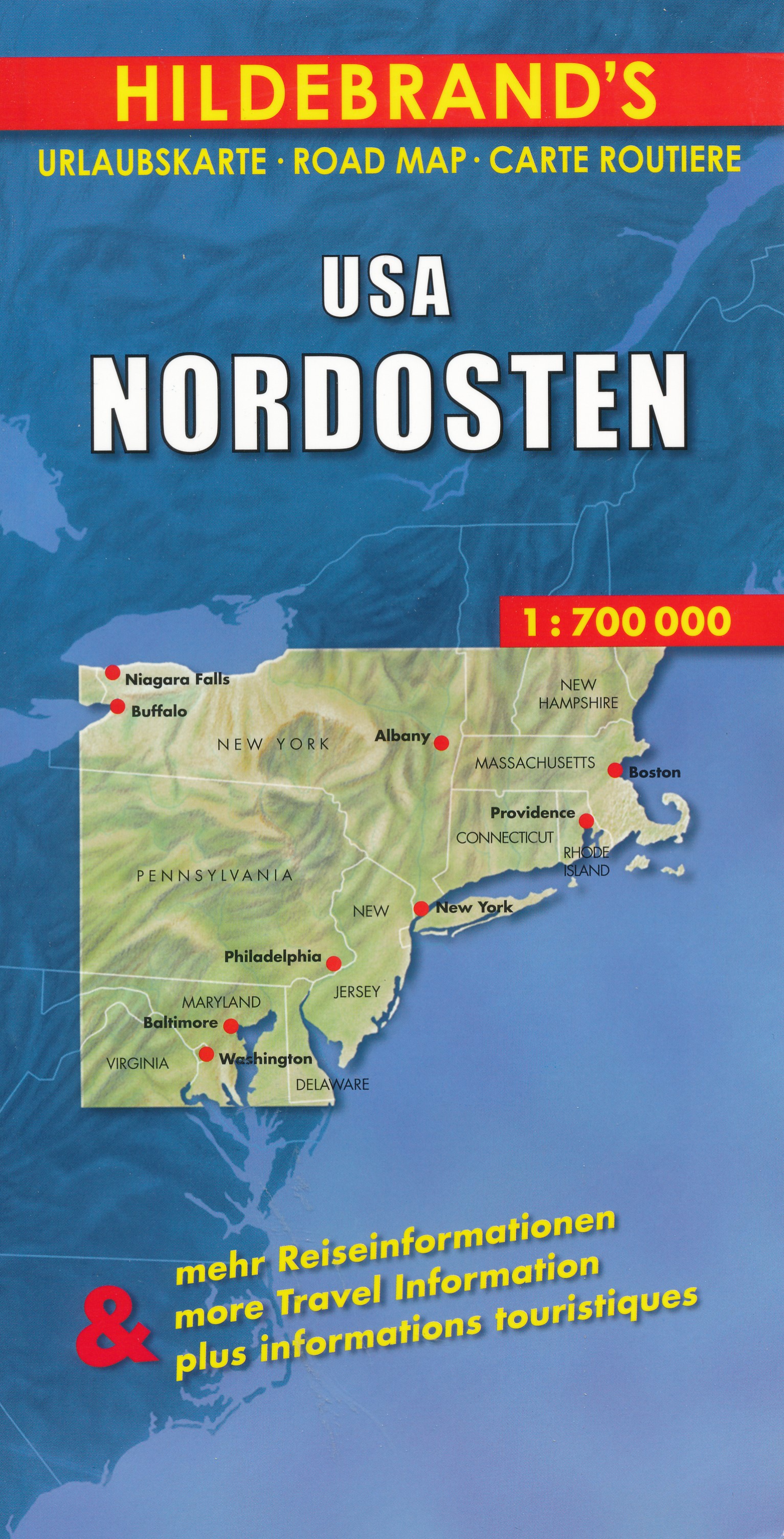
- Wegenkaart - landkaart USA Northeast - USA Noordoost | Hildebrand's
- USA Nordosten 1 : 700 000. Hildebrand´s Urlaubskarte ab 7.95 EURO Umgebungskarten: Boston, New York, Washington - Baltimore. Stadtpläne: Boston, New York/Manhattan, Philadelphia, Baltimore, Washington, Buffalo, Niagara Falls, Pittsburgh. Ortsregister Hildebrand´s Urlaubskarte. Neuauflage, Laufzeit bis 2016 Read more
De Zwerver
Netherlands
Netherlands
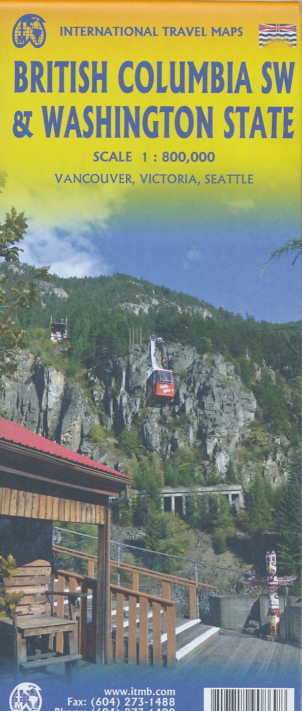
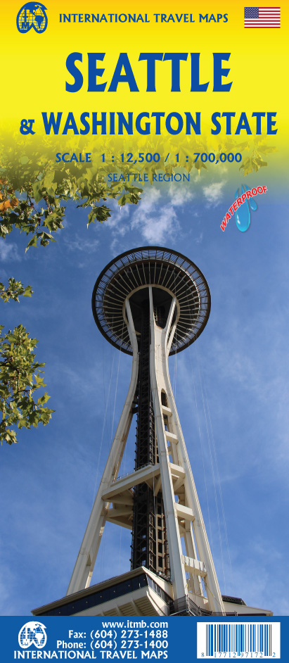
- Wegenkaart - landkaart Washington State - British Columbia southwest | ITMB
- British Columbia Südwest & Washington 1 : 800 000 ab 10.49 EURO Topographische Karte doppelseitig Washington State, Plan Downtown Seattle Britsh Columbia, incl. Vanc. 1st edition Read more
De Zwerver
Netherlands
Netherlands
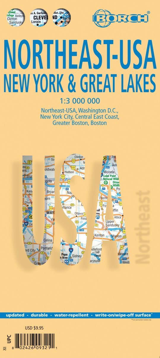
- Wegenkaart - landkaart Noordoost USA - Northeast USA | Borch
- Northeast-USA 5. New York & the Great Lakes 1 : 3 000 000 + City Maps ab 9.9 EURO Washington DC, New York City, Central East Coast, Greater Boston, Boston Borch Map. 13. Auflage Read more

De Zwerver
Netherlands
Netherlands
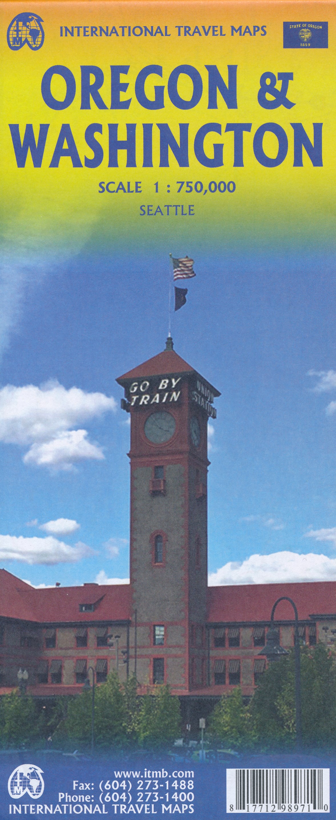
- Wegenkaart - landkaart Washington state - Oregon | ITMB
- Oregon / Washington 1:750 000 ab 10.49 EURO Landkarte, doppelseitig Plan Seattle. 1. Auflage Read more
De Zwerver
Netherlands
Netherlands

De Zwerver
Netherlands
Netherlands
- Wandelkaart - Topografische kaart 205 Sequoia - Kings Canyon National Parks | National Geographic
- Prachtige geplastificeerde kaart van het nationaal park. Met alle recreatieve voorzieningen als campsites, maar ook met topografische details en wandelroutes ed. Door uitgekiend kleurgebruik zeer prettig in gebruik. Scheur en watervast! Trails Illustrated maps are the most trusted and popular recreation maps available. Continually setting the... Read more
- Also available from:
- Bol.com, Netherlands
- Bol.com, Belgium
- Stanfords, United Kingdom
- The Book Depository, United Kingdom

Bol.com
Netherlands
Netherlands
- Sequoia/kings Canyon National Park
- Waterproof Tear-Resistant Topographic MapIn Sequioa and Kings Canyon National Parks you can walk among the world's largest trees, hike the alpine landscape of the Sierra Crest, and marvel at the towering granite cliffs of one of the deepest canyons in the United States. National Geographic's Trails Illustrated map of Sequoia and Kings... Read more
Bol.com
Belgium
Belgium
- Sequoia/kings Canyon National Park
- Waterproof Tear-Resistant Topographic MapIn Sequioa and Kings Canyon National Parks you can walk among the world's largest trees, hike the alpine landscape of the Sierra Crest, and marvel at the towering granite cliffs of one of the deepest canyons in the United States. National Geographic's Trails Illustrated map of Sequoia and Kings... Read more

Stanfords
United Kingdom
United Kingdom
- Sequoia - Kings Canyon National Parks CA NGS Trails Illustrated Map 205
- Map No. 205, Sequoia/Kings Canyon National Park, CA, in an extensive series of GPS compatible, contoured hiking maps of USA’s national and state parks or forests and other popular recreational areas. Cartography based on the national topographic survey, with additional tourist information.The maps, with most titles now printed on light,... Read more

The Book Depository
United Kingdom
United Kingdom
- Sequoia/kings Canyon National Park
- Trails Illustrated National Parks Read more

De Zwerver
Netherlands
Netherlands
- Wandelkaart 216 Olympic National Park | National Geographic
- Prachtige geplastificeerde kaart van het bekende nationaal park. Met alle recreatieve voorzieningen als campsites, maar ook met topografische details en wandelroutes ed. Door uitgekiend kleurgebruik zeer prettig in gebruik. Scheur en watervast! Within the park, there is detailed coverage of Mount Olympus, Tshletshy Ridge, Hurrican Ridge,... Read more
- Also available from:
- Bol.com, Netherlands
- Bol.com, Belgium
- Stanfords, United Kingdom

Bol.com
Netherlands
Netherlands
- Olympic National Park
- Waterproof Tear-Resistant Topographic MapOlympic National Park encompasses four distinctly different ecosystems in its nearly one million acres. National Geographic's Trails Illustrated map of Olympic National Park offers outdoors enthusiasts a valuable tool for exploring the park's old-growth forests, glaciers, untamed rivers, and rugged... Read more
Bol.com
Belgium
Belgium
- Olympic National Park
- Waterproof Tear-Resistant Topographic MapOlympic National Park encompasses four distinctly different ecosystems in its nearly one million acres. National Geographic's Trails Illustrated map of Olympic National Park offers outdoors enthusiasts a valuable tool for exploring the park's old-growth forests, glaciers, untamed rivers, and rugged... Read more

Stanfords
United Kingdom
United Kingdom
- Olympic National Park WA
- Map No. 216, Olympic National Park, WA, in an extensive series of GPS compatible, contoured hiking maps of USA’s national and state parks or forests and other popular recreational areas. Cartography based on the national topographic survey, with additional tourist information.The maps, with most titles now printed on light, waterproof and... Read more

De Zwerver
Netherlands
Netherlands
- Wandelkaart - Topografische kaart 314 Many Glacier - Glacier and Waterton Lakes National Parks | National Geographic
- Prachtige geplastificeerde kaart van het bekende nationaal park. Met alle recreatieve voorzieningen als campsites, maar ook met topografische details en wandelroutes ed. Door uitgekiend kleurgebruik zeer prettig in gebruik. Scheur en watervast! Located just north of Kalispell in Montana's northwest corner, Glacier National contains an... Read more
- Also available from:
- Bol.com, Netherlands
- Bol.com, Belgium
- Stanfords, United Kingdom

Bol.com
Netherlands
Netherlands
- Many Glacier, Glacier National Park
- Waterproof Tear-Resistant Topographic MapLocated just north of Kalispell in Montana's northwest corner, Glacier National contains an abundance of recreational opportunities for outdoor enthusiasts of all interests.This detailed topographic recreation map contains carefully researched trails, campsites, forest service roads, and... Read more
Bol.com
Belgium
Belgium
- Many Glacier, Glacier National Park
- Waterproof Tear-Resistant Topographic MapLocated just north of Kalispell in Montana's northwest corner, Glacier National contains an abundance of recreational opportunities for outdoor enthusiasts of all interests.This detailed topographic recreation map contains carefully researched trails, campsites, forest service roads, and... Read more

Stanfords
United Kingdom
United Kingdom
- Many Glacier - Glacier and Waterton Lakes National Parks MT
- Map No. 313, Glacier National Park: North Fork, MT, in an extensive series of GPS compatible, contoured hiking maps of USA’s national and state parks or forests and other popular recreational areas. Cartography based on the national topographic survey, with additional tourist information.The maps, with most titles now printed on light,... Read more

De Zwerver
Netherlands
Netherlands
- Wandelkaart - Topografische kaart 215 Glacier - Waterton Lakes National Park | National Geographic
- Prachtige geplastificeerde kaart van het bekende nationaal park. Met alle recreatieve voorzieningen als campsites, maar ook met topografische details en wandelroutes ed. Door uitgekiend kleurgebruik zeer prettig in gebruik. Scheur en watervast! Waterton Lakes National Park, Canada includes Waterton Park, Upper and Middle Waterton Lakes, The... Read more
- Also available from:
- Bol.com, Netherlands
- Bol.com, Belgium
- Stanfords, United Kingdom

Bol.com
Netherlands
Netherlands
- Glacier/waterton Lakes National Parks
- Waterproof Tear-Resistant Topographic MapNational Geographic's Trails Illustrated map of Glacier and Waterton Lakes National Parks offers unparalleled detail for outdoor enthusiasts exploring the pristine landscape of forests, mountains, lakes, and meadows within these two spectacular parks. Created in partnership with local land... Read more
Bol.com
Belgium
Belgium
- Glacier/waterton Lakes National Parks
- Waterproof Tear-Resistant Topographic MapNational Geographic's Trails Illustrated map of Glacier and Waterton Lakes National Parks offers unparalleled detail for outdoor enthusiasts exploring the pristine landscape of forests, mountains, lakes, and meadows within these two spectacular parks. Created in partnership with local land... Read more

Stanfords
United Kingdom
United Kingdom
- Glacier - Waterton Lakes National Park MT
- Map No. 215, Glacier/Waterton Lakes National Park, MT, in an extensive series of GPS compatible, contoured hiking maps of USA’s national and state parks or forests and other popular recreational areas. Cartography based on the national topographic survey, with additional tourist information.The maps, with most titles now printed on light,... Read more

Bol.com
Netherlands
Netherlands
- Goat Rocks & Norse Peak Wilderness Area, Gifford-pinchot & Okanogan-wenatchee National Forests
- Waterproof Tear-Resistant Topographic MapGifford-Pinchot and Okanogan-Wenatchee National Forests Washington, USAOne of five new Trails Illustrated maps for the Washington Cascades region offers the most detailed and up-to-date map for the forest, carefully researched and developed in co-operation with local land managers and agencies.... Read more
- Also available from:
- Bol.com, Belgium
- Stanfords, United Kingdom
Bol.com
Belgium
Belgium
- Goat Rocks & Norse Peak Wilderness Area, Gifford-pinchot & Okanogan-wenatchee National Forests
- Waterproof Tear-Resistant Topographic MapGifford-Pinchot and Okanogan-Wenatchee National Forests Washington, USAOne of five new Trails Illustrated maps for the Washington Cascades region offers the most detailed and up-to-date map for the forest, carefully researched and developed in co-operation with local land managers and agencies.... Read more

Stanfords
United Kingdom
United Kingdom
- Goat Rocks - Norse Peak William O. Douglas Wilderness Area WA
- Map No. 823, Goat Rocks and Norse Peak Wilderness Area - Gifford-Pinchot and Okanogan-Wenatchee National Forests, WA, in an extensive series of GPS compatible, contoured hiking maps of USA’s national and state parks or forests and other popular recreational areas. Cartography based on the national topographic survey, with additional tourist... Read more