
Nockberge
Beschrijving
Highest part of the Gurktaler Alpen. Eisenhut (2.441 m) is the highest summit here.
Paden in deze regio
Links
Feiten
Verslagen
Gidsen en kaarten
Overnachting
Organisaties
Reisorganisaties
GPS
Anders
Boeken
De Zwerver
Netherlands
2020
Netherlands
2020
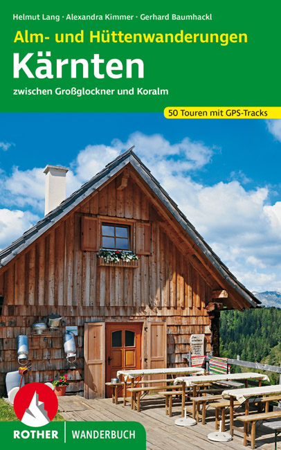
- Wandelgids Kärnten - Karinthië Alm- und Hüttenwanderungen | Rother Bergverlag
- 51 Touren zwischen Großglockner und Koralm. Mit GPS-Tracks. Read more
Bol.com
Netherlands
Netherlands
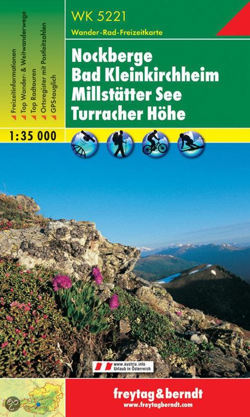
- Nockberge • Bad Kleinkirchheim • Millstätter See • Turracher Höhe
- Wandel- en fietskaart • schaal 1:35,000 • activiteitengids • plaatsnamenregister met postcodes • wandel- en fietspaden • mountainbikeroutes • ski- en langlaufroutes • GPS-punten • UTM Read more
- Also available from:
- Bol.com, Belgium
Bol.com
Belgium
Belgium
- Nockberge • Bad Kleinkirchheim • Millstätter See • Turracher Höhe
- Wandel- en fietskaart • schaal 1:35,000 • activiteitengids • plaatsnamenregister met postcodes • wandel- en fietspaden • mountainbikeroutes • ski- en langlaufroutes • GPS-punten • UTM Read more
Kaarten
De Zwerver
Netherlands
Netherlands
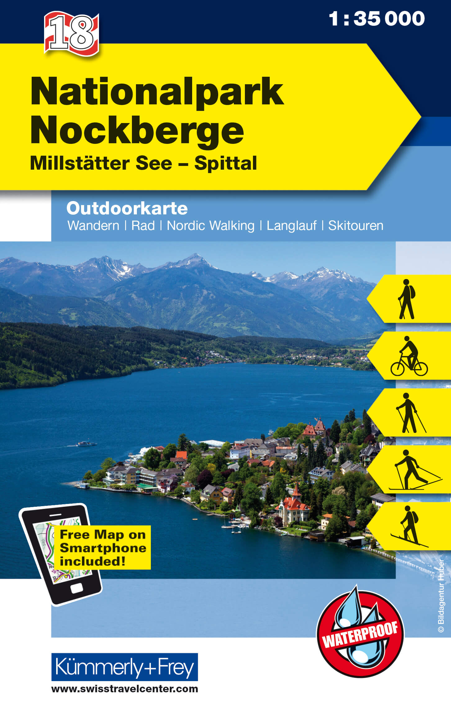
- Wandelkaart 18 Outdoorkarte AT Nockberge | Kümmerly & Frey
- Nationalpark Nockberge - Millstätter See - Spittal region of the Austrian Alps at 1:35,000 on a GPS compatible, double-sided map from Kümmerly+Frey printed on sturdy, waterproof and tear-resistant synthetic paper; contoured, with hiking, cycling and ski routes, accommodation facilities, locations for other recreational activities, etc.Maps in... Read more
- Also available from:
- Stanfords, United Kingdom

Stanfords
United Kingdom
United Kingdom
- Nationalpark Nockberge - Millstätter See - Spittal K+F Outdoor Map 18
- Nationalpark Nockberge - Millstätter See - Spittal region of the Austrian Alps at 1:35,000 on a GPS compatible, double-sided map from Kümmerly+Frey printed on sturdy, waterproof and tear-resistant synthetic paper; contoured, with hiking, cycling and ski routes, accommodation facilities, locations for other recreational activities, etc.Maps in... Read more
- Also available from:
- Stanfords, United Kingdom

Stanfords
United Kingdom
2022
United Kingdom
2022
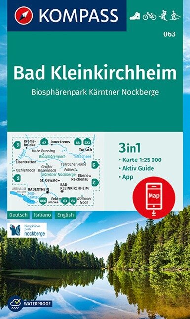
- Bad Kleinkirchheim - Carinthian Nockberge Biospere Park Kompass 063
- Bad Kleinkirchheim - NP Nockberge area of Carinthia in southern Austria on a detailed, GPS compatible map at 1:25,000 from Kompass with local and long-distance footpaths, cycling routes, accommodation, etc, printed on durable, waterproof and tear-resistant synthetic paper.KOMPASS HIKING & RECREATIONAL MAPS: this title is part of an extensive... Read more
Bol.com
Netherlands
Netherlands
- FB WK222 Bad Kleinkirchheim • Nationalpark Nockberge • Millstätter See • Turracher Höhe • Radenthein
- Fiets- en wandelkaart • schaal 1:50 000 • activiteiten gids • plaatsnamenregister met postcodes • fietspaden en mountainbikeroutes • vermelding GPS-punten • met ski- en langlaufroutes Read more
- Also available from:
- Bol.com, Belgium
- Stanfords, United Kingdom
Bol.com
Belgium
Belgium
- FB WK222 Bad Kleinkirchheim • Nationalpark Nockberge • Millstätter See • Turracher Höhe • Radenthein
- Fiets- en wandelkaart • schaal 1:50 000 • activiteiten gids • plaatsnamenregister met postcodes • fietspaden en mountainbikeroutes • vermelding GPS-punten • met ski- en langlaufroutes Read more

Stanfords
United Kingdom
United Kingdom
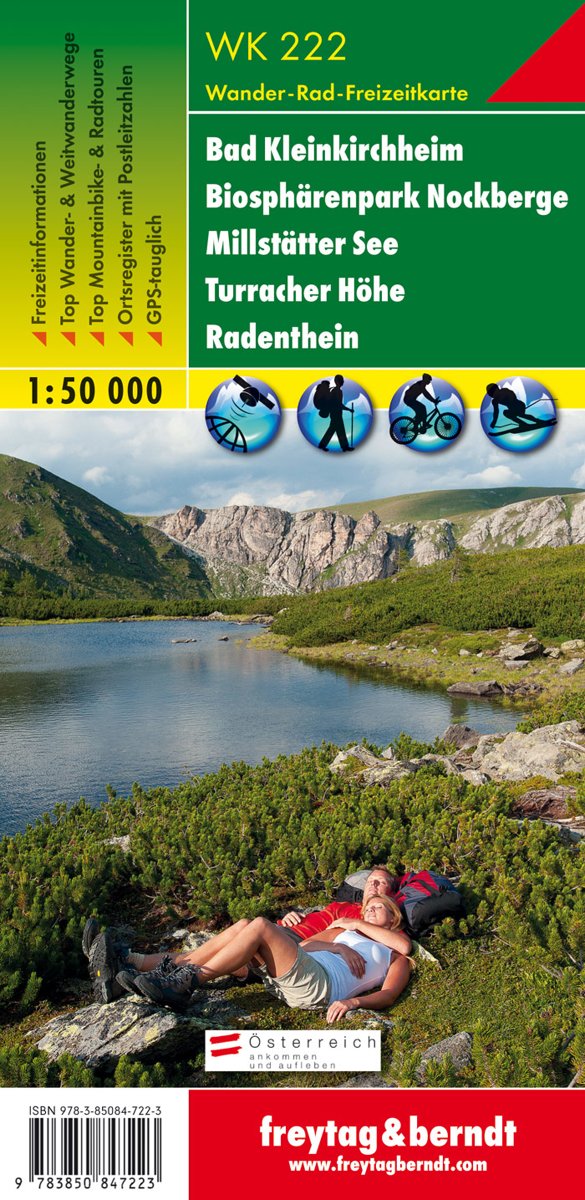
- Bad Kleinkirchheim - Biosphere Park Nockberge - Millstätter See - Turracher Höhe - Radenthein F&B WK222
- Bad Kleinkirchheim - Krems - Radentheim - Reichenau area of the Austrian Alps presented at 1:50,000 in a series of contoured and GPS compatible outdoor leisure map from Freytag & Berndt with hiking and cycling routes, mountain huts, campsites and youth hostels, local bus stops, plus other tourist information.To see the list of currently... Read more
Bol.com
Netherlands
Netherlands
- Kompass WK063 Bad Kleinkirchheim, Biosphärenpark Kärntner Nockberge
- Deze Kompass wandelkaart, schaal 1:50 000, is ideaal om uw route uit te stippelen en om onderweg te gebruiken; naast de bekende bestemmingen, worden ook de minder bekende vermeld; openbaar vervoer bij begin- of eindpunt van een route aangegeven; eenvoudige wandelingen tot pittige (berg)tochten, voor getrainde en ongetrainde wandelaars; met heel... Read more
- Also available from:
- Bol.com, Belgium
Bol.com
Belgium
Belgium
- Kompass WK063 Bad Kleinkirchheim, Biosphärenpark Kärntner Nockberge
- Deze Kompass wandelkaart, schaal 1:50 000, is ideaal om uw route uit te stippelen en om onderweg te gebruiken; naast de bekende bestemmingen, worden ook de minder bekende vermeld; openbaar vervoer bij begin- of eindpunt van een route aangegeven; eenvoudige wandelingen tot pittige (berg)tochten, voor getrainde en ongetrainde wandelaars; met heel... Read more

Stanfords
United Kingdom
United Kingdom
- Seetaler Alpen - Seckauer Alpen - Judenburg - Knittelfeld F&B WK212
- Seetaler Alpen - Seckauer Alpen - Judenburg - Knittelfeld area of the Austrian Alps presented at 1:50,000 in a series of contoured and GPS compatible outdoor leisure map from Freytag & Berndt with hiking and cycling routes, mountain huts, campsites and youth hostels, local bus stops, plus other tourist information.To see the list of currently... Read more

Stanfords
United Kingdom
United Kingdom
- Liesertal - Maltatal - Millstätter See - Spittal a.d. Drau - Nockalmstrasse F&B WK221
- Liesertal - Maltatal - Millstätter See - Spittal a.d. Drau - Nockalmstrasse area of the Austrian Alps presented at 1:50,000 in a series of contoured and GPS compatible outdoor leisure map from Freytag & Berndt with hiking and cycling routes, mountain huts, campsites and youth hostels, local bus stops, plus other tourist information.To see the... Read more
- Also available from:
- The Book Depository, United Kingdom

The Book Depository
United Kingdom
United Kingdom