
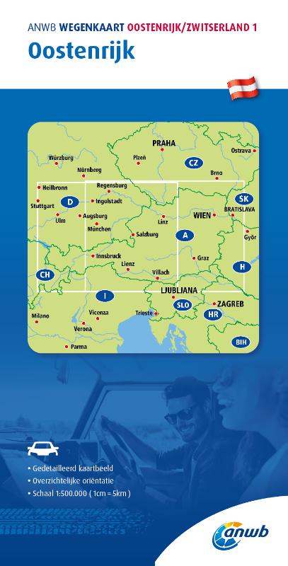
Oostenrijk
Beschrijving
 Thinking of Austria evokes images of the Alps and trekking from hut to hut. Many mountain groups have their own "Höhenweg", high altitude hut to hut trail.
Less well known are the 10 Austrian long distance hiking trails. These trails cross all the country's majestic mountain ranges - Ötztal, Zillertal, Stubaier Alps, Hohe Tauern - but also pass through more pastoral and less touristic regions of Austria. Sometimes the trails coincide with European long distance trails.
Don't be mistaken: Austrian long distance trails are not for the feeble. Time and again the trails mean serious business, including glaciers and short stretches of scrambling on rocks (maximum Grade II). To complete a trail on foot can easily take several months. Varying in length from 400 to 1300 km, and combined with the considerable differences in altitude, these trails pose challenges to be reckoned with. So, compared to the French GR's, the Austrian long distance trails are on another level altogether. Make sure you master all skills of walking in high mountains: techniques of orientation, gear, surefootedness, stamina.
To keep hikers happy, after all we are hiking for fun, Austria has taken excellent care of lodging, food and drink. Wherever you go up into the mountains, you will find well managed huts, offering a comfortable bed, beer, and top meals you will never find down the valleys: all purely natural and 100% homemade. More than merely an overnight stay, this is enjoying!
Kaart


Paden
- AdlerwegGPX
- AlpannoniaGPX
- Alpen Weitwanderweg
- ArnowegGPX
- Berliner HöhenwegGPX
- Bodensee RundwegGPX
- Burgen und SchlösserwegGPX
- Burgenländische Pilgerwege
- Christophorus Rundwanderweg
- Dachstein-Tauern Panoramaweg
- DonausteigGPX
- E10GPX
- E4GPX
- E5GPX
- E6GPX
- E8GPX
- Eisenwurzenweg - 8GPX
- Gailtaler HöhenwegGPX
- GoethewegGPX
- KalkalpenwegGPX
- Karnischer HöhenwegGPX
- Karwendel Höhenweg
- Kreuzecker Höhenweg
- Lasörling HöhenwegGPX
- Lechtaler HöhenwegGPX
- LechwegGPX
- Mariazeller Wege - 6GPX
- MaximilianswegGPX
- Meraner HöhenwegGPX
- Nord-Süd Wanderweg - 5GPX
- Nordalpenweg - 1GPX
- NordwaldkammwegGPX
- Ostösterreichischer Grenzlandweg - 7GPX
- Rätikon Höhenweg
- Rupertiweg - 10GPX
- Salzburger AlmenwegGPX
- Salzsteigweg - 9GPX
- Santiago de Compostela Pilgrims WayGPX
- Südalpenweg - 3GPX
- Schladminger Tauern Höhenweg
- Sentiero della PaceGPX
- Stubaier HöhenwegGPX
- Sultan's TrailGPX
- Tauernhöhenweg
- Templar Trail
- Tiroler Höhenweg
- Traumpfad München-VenedigGPX
- Venediger HöhenwegGPX
- Verwall Höhenweg
- Via AlpinaGPX
- Via ValtellinaGPX
- Voralpenweg - 4GPX
- Weg des BuchesGPX
- Zentralalpenweg - 2GPX
Regios
- Allgäuer Alpen
- Alps
- Ammergauer Alpen
- Ankogelgruppe
- Ötztal
- Bayerische Voralpen
- Berchtesgadener Alpen
- Bodensee
- Bregenzerwald
- Chiemgauer Alpen
- Dachstein
- Defereggengebirge
- Eisenerzer Alpen
- Eisenwurzen
- Ennstaler Alpen
- Fischbacher Alpen
- Gailtaler Alpen
- Gesäuse
- Gleinalpe
- Glocknergruppe
- Goldberggruppe
- Granatspitzgruppe
- Gurktaler Alpen
- Gutensteiner Alpen
- Hochkönig
- Hochschwab
- Hohe Tauern
- Isarwinkel
- Julische Alpen
- Kaisergebirge
- Kamnik Savinja Alpen
- Karawanken
- Karnischer Alpen
- Karwendel
- Kaunertal
- Kitzbüheler Alpen
- Koralpe
- Kreuzeckgruppe
- Lechquellengebirge
- Lechtaler Alpen
- Leoganger Steinberge
- Lienzer Dolomiten
- Loferer Steinberge
- Mühlviertel
- Mürzsteger Alpen
- Mieminger Kette
- Neusiedler See
- Niedere Tauern
- Nockberge
- Pohorje
- Radstädter Tauern
- Rax-Schneeberg-Gruppe
- Rätikon
- Rieserfernergruppe
- Rofan
- Rottenmänner Tauern
- Salzburger Schieferalpen
- Salzkammergut-Berge
- Samnaun
- Saualpe
- Schladminger Tauern
- Schobergruppe
- Seckauer Tauern
- Seetaler Alpen
- Sengsengebirge
- Silvretta
- Steinernes Meer
- Stubai
- Tannheimer Bergen
- Türnitzer Alpen
- Tennengebirge
- Texelgruppe
- Tirol
- Totes Gebirge
- Tuxer Alpen
- Venedigergruppe
- Verwall
- Waldviertel
- Wölzer Tauern
- Weinviertel
- Wetterstein
- Wiener Hausberge
- Wienerwald
- Ybbstaler Alpen
- Zillertal
Staten
Bergen
- Ankogel
- Augstenberg
- Östliche Seespitze
- Äussere Schwarze Schneid
- Berliner Spitze
- Birkkarspitze
- Birnhorn
- Bliggspitze
- Breiter Grießkogel
- Daberspitze
- Daniel
- Dreiherrenspitze
- Dreiländerspitze
- Eisenhut
- Eiskastenspitze
- Ellmauer Halt
- Feuerstein
- Fineilspitze
- Firmisanschneide
- Fluchthorn
- Fluchtkogel
- Fuscherkarkopf
- Gaislehnkogel
- Gamsfeld
- Gefrorene-Wand-Spitzen
- Geierhaupt
- Glatthorn
- Glödis
- Glocknerwand
- Glockturm
- Granatenkogel
- Große Sandspitze
- Große Wildgrubenspitze
- Großer Bärenkopf
- Großer Geiger
- Großer Greiner
- Großer Hexenkopf
- Großer Hornkopf
- Großer Krottenkopf
- Großer Löffler
- Großer Mörchner
- Großer Möseler
- Großer Muntanitz
- Großer Priel
- Großer Ramolkogel
- Großer Sulzberg
- Großes Ochsenhorn
- Großes Wiesbachhorn
- Großglockner
- Großvenediger
- Gsallkopf
- Habicht
- Hintere Ölgrubenspitze
- Hintere Schwärze
- Hintere Spiegelkogel
- Hintere Stangenspitze
- Hintereisspitzen
- Hinterer Brochkogel
- Hinterer Brunnenkogel
- Hinterer Daunkopf
- Hinterer Seelenkogel
- Hochalmspitze
- Hocharn
- Hocheiser
- Hochfeiler
- Hochfirst
- Hochgall
- Hochgolling
- Hochiss
- Hochkönig
- Hochschober
- Hochschwab
- Hochstadl
- Hochtor
- Hochvernagtspitze
- Hochwilde
- Hohe Fürlegg
- Hohe Geige
- Hohe Veitsch
- Hohe Wand
- Hohe Warte
- Hoher Dachstein
- Hoher Eichham
- Hoher Nock
- Hoher Riffler
- Hoher Riffler (Verwall)
- Hoher Seeblaskogel
- Hoher Tenn
- Im Hinteren Eis
- Innere Schwarze Schneid
- Johannisberg
- Karlesspitze
- Keeskogel
- Kitzsteinhorn
- Klockerin
- Kreuzjoch
- Kreuzspitze
- Langtauferer Spitze
- Längentaler Weißer Kogel
- Löcherkogel
- Lüsener Fernerkogel
- Lenkstein
- Liebenerspitze
- Lizumer Reckner
- Malhamspitzen
- Mölltaler Polinik
- Mittlerer Bärenkopf
- Mutmalspitze
- Olperer
- Parseierspitze
- Petzeck
- Piz Buin
- Piz Buin Pitschen
- Puitkogel
- Quirl
- Rainerhorn
- Raucheck
- Rauhkofel
- Rötspitze
- Reichenspitze
- Reisalpe
- Rettlkirchspitze
- Rofelewand
- Rostizkogel
- Roter Knopf
- Ruderhofspitze
- Schalfkogel
- Schaufelspitze
- Schöpfl
- Schesaplana
- Schlieferspitze
- Schneeberg
- Schrammacher
- Schrandele
- Schrankogel
- Schwabenkopf
- Schwarzenbergspitzen
- Schwarzenstein
- Seekogel
- Sennkogel
- Signalhorn
- Silvrettahorn
- Similaun
- Sonklarspitze
- Sonntagshorn
- Stol
- Strahlkogel
- Stubaier Wildspitze
- Stuhleck
- Talleitspitze
- Turnerkamp
- Verpeilspitze
- Vordere Ölgrubenspitze
- Vordere Diemkogel
- Vorderer Brochkogel
- Vorderer Brunnenkogel
- Warenkarseitenspitze
- Wassertalkogel
- Watzespitze
- Weiße Spitze
- Weißeck
- Weißer Kogel
- Weißkugel
- Weißseespitze
- Weißspitze
- Westlicher Simonyspitze
- Wilde Leck
- Wilder Freiger
- Wilder Pfaff
- Wildgerlosspitze
- Wildspitze
- Windacher Daunkogel
- Wollbachspitze
- Zirbitzkogel
- Zirmkogel
- Zopetspitze
- Zuckerhütl


Links
Feiten
Verslagen
Gidsen en kaarten
Overnachting
Organisaties
Reisorganisaties
GPS
Anders
Boeken
Netherlands
2020
- Reisgids Reise-Taschenbuch Réunion | Dumont
- Daniela Eiletz-Kaube und Kurt Kaube sind in Österreich geboren, doch die ganze Welt ist ihr Zuhause. 2005 übersiedelten sie nach Tansania, 2007 führte sie der Zufall nach Réunion, wo sie viel länger als geplant verweilten. An Réunion fasziniert sie die ethnische Vielfalt, die abwechslungsreiche Natur, die unsagbar schönen Landschaften und die... Read more
Netherlands
2020
- Wandelgids 01 Achensee | Rother Bergverlag
- Uitstekende wandelgids met een groot aantal dagtochten in dal en hooggebergte. Met praktische informatie en beperkt kaartmateriaal! Wandelingen in verschillende zwaarte weergegeven in rood/blauw/zwart. Das Achenseegebiet blickt auf eine lange Tradition als Urlaubsregion zurück: Erster Erholungsort war wohl das Fürstenhaus zu Pertisau, das die... Read more
Netherlands
2020
Netherlands
2016
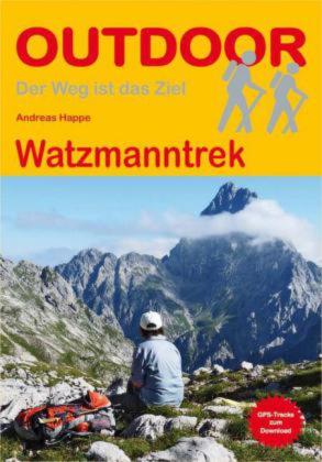
- Wandelgids Watzmanntrek | Conrad Stein Verlag
- Compacte Duitstalige wandelgids van de Watzmanntrek in nationaal park Berchtesgaden, met routebeschrijving, schematische kaartjes en overnachtingsadressen. Der Nationalpark Berchtesgaden mit dem berühmten Watzmann und dem Königssee gilt als eine der schönsten Bergregionen in ganz Europa. Der Watzmanntrek erschließt das Gebiet auf einer... Read more
Netherlands
2022
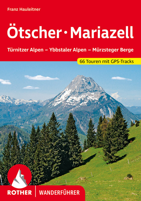
- Wandelgids 70 Ötscher -Mariazell | Rother Bergverlag
- Uitstekende wandelgids met een groot aantal dagtochten in dal en hooggebergte. Met praktische informatie en beperkt kaartmateriaal! Wandelingen in verschillende zwaarte weergegeven in rood/blauw/zwart. Im Bergland um Mariazell und Türnitz vereinen sich grüne Täler und tiefe Schluchten, steil aufragende Wald- und Felsgipfel, stäubende... Read more
Netherlands
2022
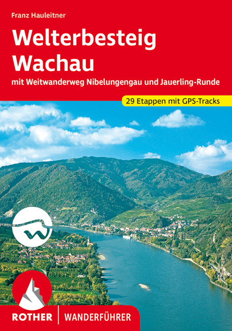
- Wandelgids Welterbesteig Wachau (tussen Krems en Melk, Donau, Oostenrijk) | Rother Bergverlag
- Duidelijk en volledig wandelgidsje zoals we van Rother gewend zijn. De eerste uitgave van dit gebied met 2 grote tochten in 21 etappes beschreven, tezamen goed voor 270 kilometer wandelplezier tussen Melk en Krems aan de Donau in Oostenrijk. 270 Wanderkilometer beiderseits der Donau zwischen Krems und Melk (180 km Welterbesteig und 90 km... Read more
Netherlands
2019
Netherlands
2022
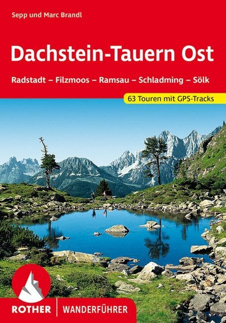
- Wandelgids Dachstein-Tauern Ost | Rother Bergverlag
- Uitstekende wandelgids met een groot aantal dagtochten in dal en hooggebergte. Met praktische informatie en beperkt kaartmateriaal! Wandelingen in verschillende zwaarte weergegeven in rood/blauw/zwart. Dachstein und Tauern Ost– das sind Begriffe, die unter Bergsteigern und Wanderern schon seit jeher Klang und Namen haben. Es sind aber auch... Read more
Netherlands
2019
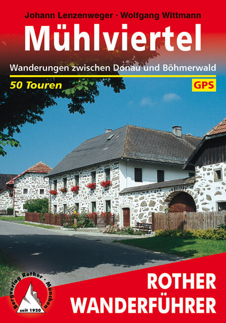
- Wandelgids Mühlviertel | Rother Bergverlag
- Uitstekende wandelgids met een groot aantal dagtochten in dal en hooggebergte. Met praktische informatie en beperkt kaartmateriaal! Wandelingen in verschillende zwaarte weergegeven in rood/blauw/zwart. Obwohl seit langem beliebtestes Ausflugs- und Erholungsziel der Bewohner des Gebiets rund um die oberösterreichische Landeshauptstadt Linz,... Read more
Netherlands
2018
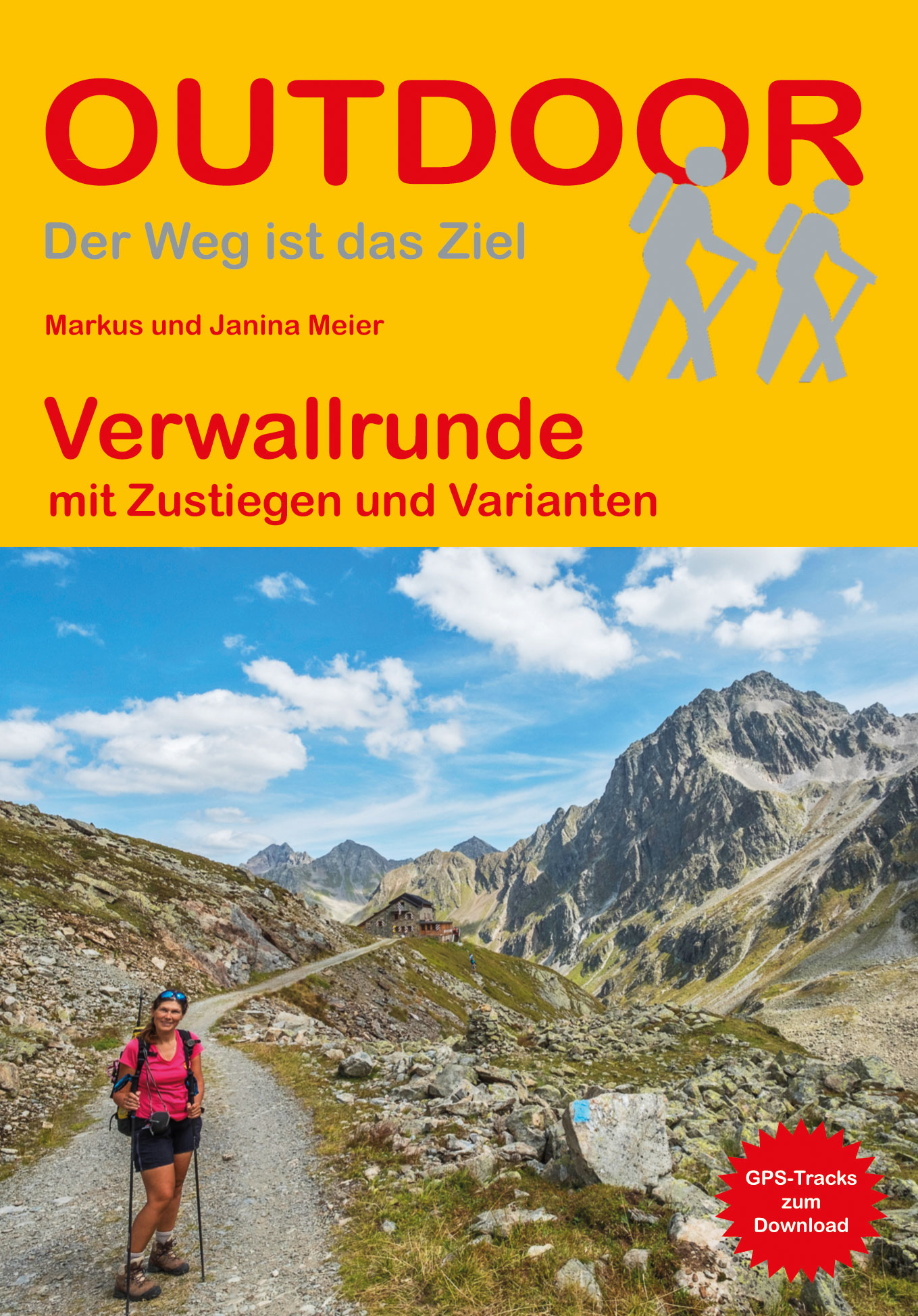
- Wandelgids Verwallrunde | Conrad Stein Verlag
- Handzaam boekje met de routebeschrijving inclusief een heleboel praktische informatie. De beschrijving is uitstekend, maar kaarten zijn beperkt en schetsmatig aanwezig. Duits. Das Verwall liegt zwischen den beiden bekannten Skiorten St. Anton am Arlberg und Ischgl. In acht Tagen können Sie in dem Gebirge mit seinen wilden Gipfeln und kleinen... Read more
Netherlands
2010
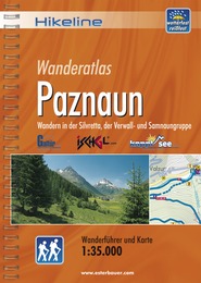
- Wandelgids Hikeline Paznaun | Esterbauer
- Handzame gids met een goede beschrijving van een groot aantal dagtochten in dit gebied. De gids is in spiraalbinding en elke pagina is op scheur- en watervast papier gedrukt. Daar is echt over nagedacht! Streckencharakteristik Länge, Höhenmeter und Anforderungen Die 40 Touren dieses Buches decken eine große Bandbreite von kurzen Spaziergängen... Read more
Netherlands
2022
Kaarten
Netherlands
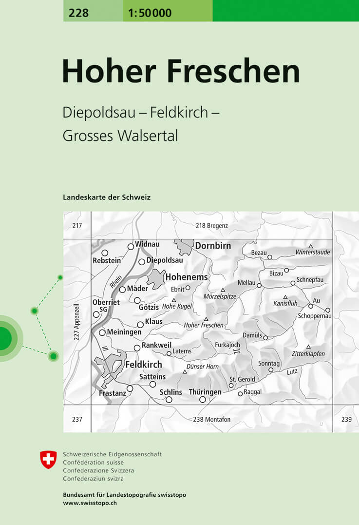
- Wandelkaart - Topografische kaart 228 Hoher Freschen | Swisstopo
- Hoher Freschen, map No. 228, in the standard topographic survey of Switzerland at 1:50,000 from Swisstopo, i.e. without the special overprint highlighting walking trails, local bus stops, etc, presented in Swisstopo Read more
- Also available from:
- Stanfords, United Kingdom

United Kingdom
- Hoher Freschen Swisstopo 228
- Hoher Freschen, map No. 228, in the standard topographic survey of Switzerland at 1:50,000 from Swisstopo, i.e. without the special overprint highlighting walking trails, local bus stops, etc, presented in Swisstopo’s hiking editions of the 50K survey. The map covers mainly Austria, extending east to Au.Highly regarded for their superb use of... Read more
Netherlands
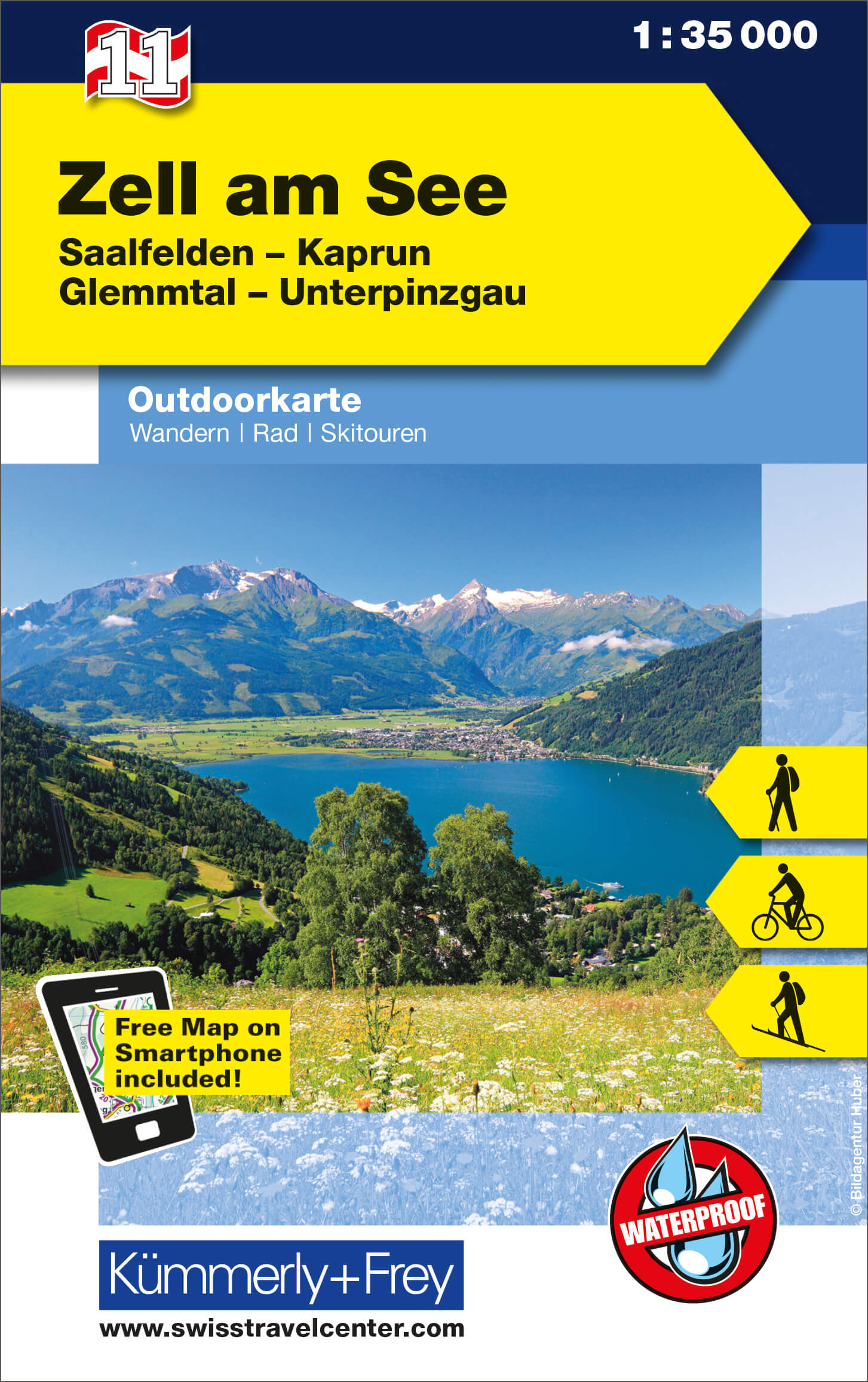
- Wandelkaart 11 Outdoorkarte AT Zell am See | Kümmerly & Frey
- Zell am See - Kaprun - Glemmtal - Unterpinzgau area of the Tyrol at 1:35,000 on a GPS compatible, double-sided map from Kümmerly+Frey printed on sturdy, waterproof and tear-resistant synthetic paper; contoured, with hiking, cycling and ski routes, accommodation facilities, locations for other recreational activities, etc.Maps in the K+F... Read more
- Also available from:
- Stanfords, United Kingdom

United Kingdom
- Zell am See - Kaprun - Glemmtal - Unterpinzgau K+F Outdoor Map 11
- Zell am See - Kaprun - Glemmtal - Unterpinzgau area of the Tyrol at 1:35,000 on a GPS compatible, double-sided map from Kümmerly+Frey printed on sturdy, waterproof and tear-resistant synthetic paper; contoured, with hiking, cycling and ski routes, accommodation facilities, locations for other recreational activities, etc.Maps in the K+F... Read more
Netherlands
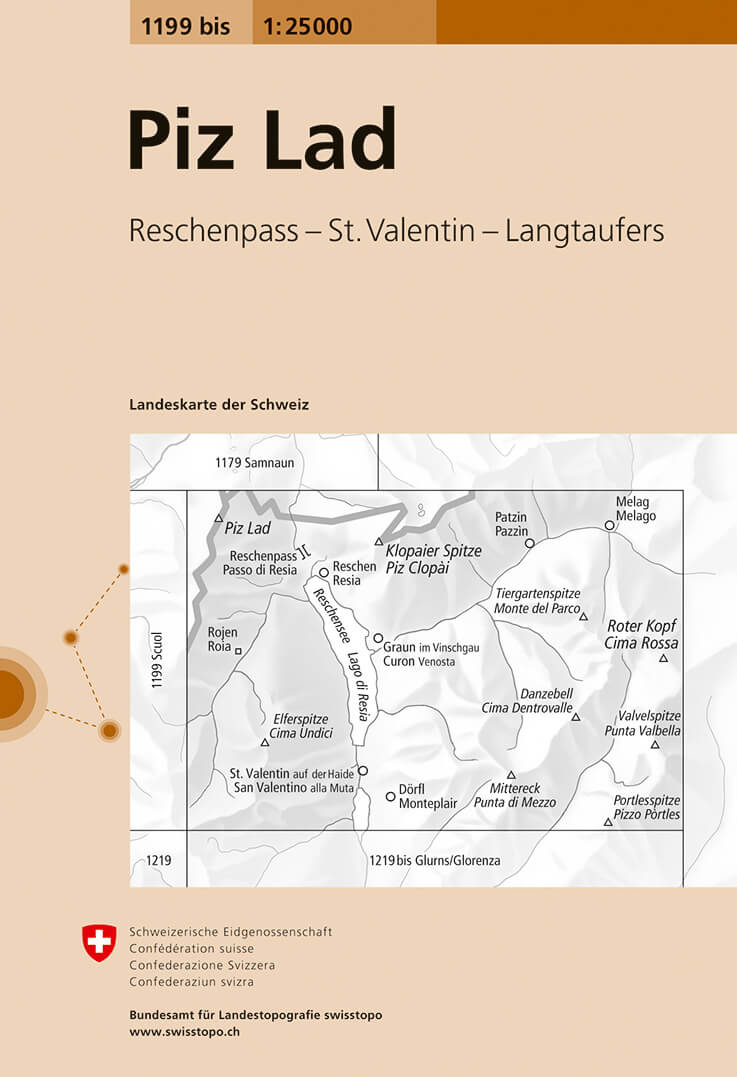
- Wandelkaart - Topografische kaart 1199bis Piz Lad | Swisstopo
- Map No. 1199 bis, Piz Lad, in the topographic survey of Switzerland at 1:25,000 from Bundesamt f Read more
- Also available from:
- Stanfords, United Kingdom

United Kingdom
- Piz Lad Swisstopo 1199bis
- Map No. 1199 bis, Piz Lad, in the topographic survey of Switzerland at 1:25,000 from Bundesamt für Landestopographie (swisstopo), covering the whole country on 247 small format sheets, with special larger maps published for popular regions including some titles now available in hiking versions.Highly regarded for their superb use of graphic... Read more
Netherlands
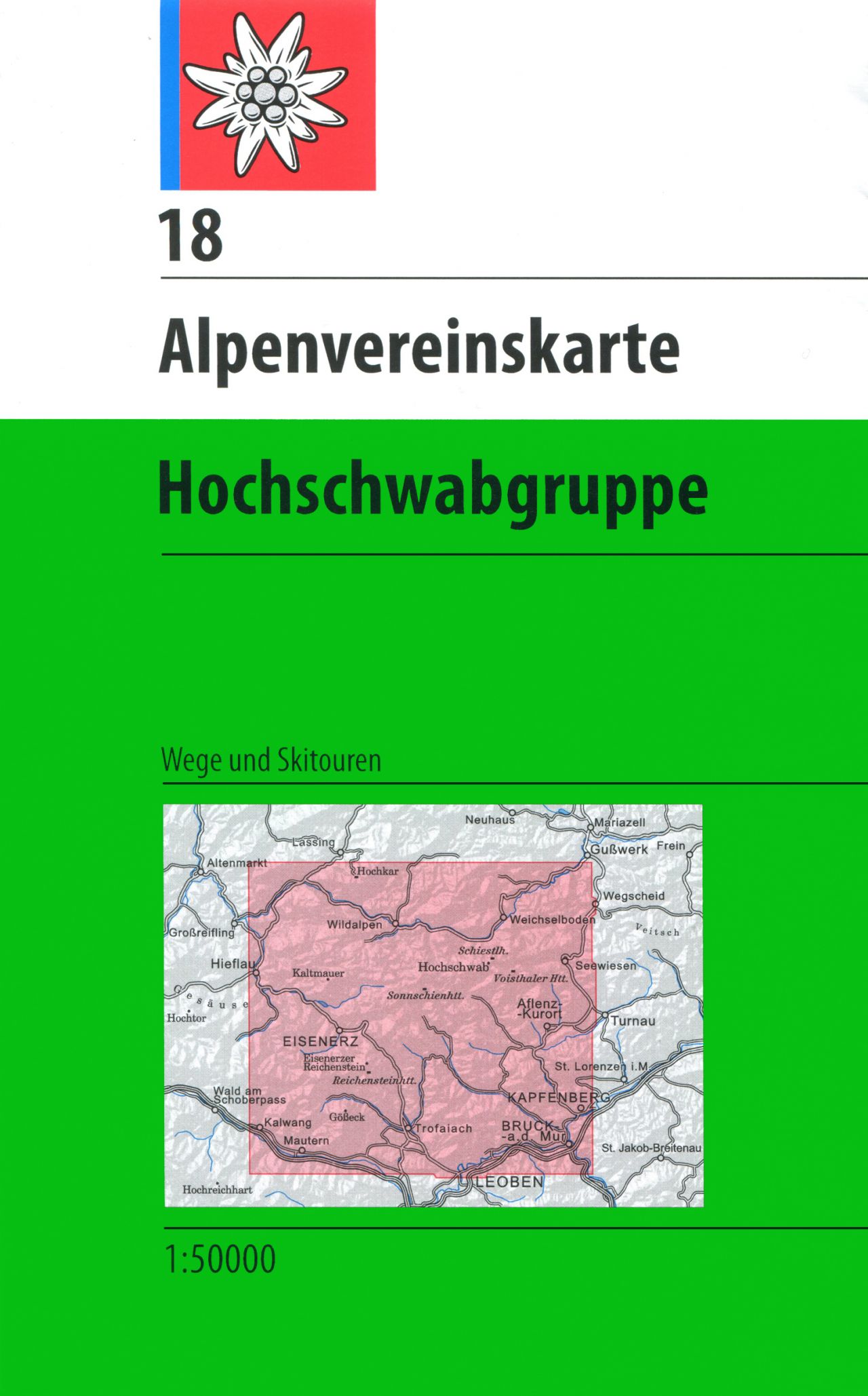
- Wandelkaart 18 Alpenvereinskarte Hochschwabgruppe | Alpenverein
- Hochschwabgruppe area of the Alps in a combined hiking and ski edition at 1:50,000 from a series of detailed, GPS compatible maps published by the DAV - Deutscher Alpenverein and produced by the German and Austrian Alpine Clubs using cartography from their respective survey organizations. Maps in this series have topography vividly presented by... Read more
- Also available from:
- Stanfords, United Kingdom

United Kingdom
- Hochschwabgruppe Alpenverein KOMBI Map 18
- Hochschwabgruppe area of the Alps in a combined hiking and ski edition at 1:50,000 from a series of detailed, GPS compatible maps published by the DAV - Deutscher Alpenverein and produced by the German and Austrian Alpine Clubs using cartography from their respective survey organizations. Maps in this series have topography vividly presented by... Read more
Netherlands
2016
- Wandelkaart 33 Alpenvereinskarte Tuxer Alpen | Alpenverein
- De beste en meest gedetailleerde kaarten van met name de Oostenrijkse alpen: wandelroutes zijn naar zwaarte onderscheidend gemarkeerd, gletsjeroverschrijdingen staan aangegeven en de verschillende soorten hutten ingetekend. Met als ondergrond de topografische kaarten bieden ze een schat aan informatie voor elke beginnende en gevorderde... Read more
Netherlands
- Wandelkaart 07 Outdoorkarte AT Innsbruck - Brenner | Kümmerly & Frey
- Innsbruck - Brenner - Stubaital – Gschnitztal area of the Tyrol at 1:35,000 on a GPS compatible, double-sided map from Kümmerly+Frey printed on sturdy, waterproof and tear-resistant synthetic paper; contoured, with hiking, cycling and ski routes, accommodation facilities, locations for other recreational activities, etc.Maps in the K+F... Read more
- Also available from:
- Stanfords, United Kingdom

United Kingdom
- Innsbruck - Brenner - Stubaital - Gschnitztal K+F Outdoor Map 7
- Innsbruck - Brenner - Stubaital – Gschnitztal area of the Tyrol at 1:35,000 on a GPS compatible, double-sided map from Kümmerly+Frey printed on sturdy, waterproof and tear-resistant synthetic paper; contoured, with hiking, cycling and ski routes, accommodation facilities, locations for other recreational activities, etc.Maps in the K+F... Read more
Netherlands
Netherlands
2024
Netherlands
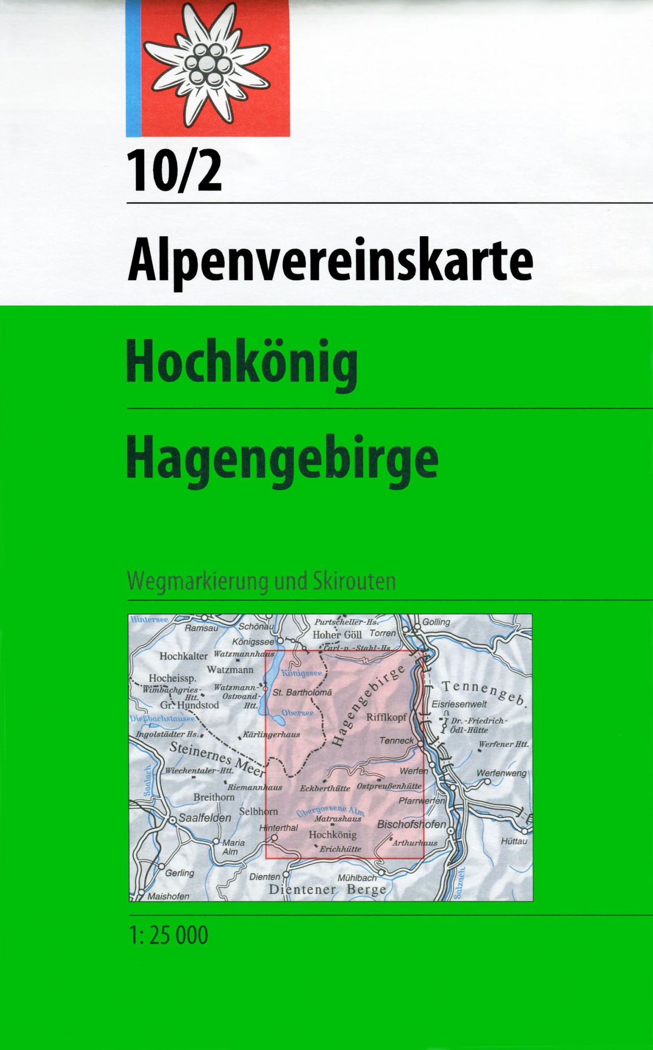
- Wandelkaart 10/2 Alpenvereinskarte Hochkönig - Hagengebirge | Alpenverein
- De beste en meest gedetailleerde kaarten van met name de Oostenrijkse alpen: wandelroutes zijn naar zwaarte onderscheidend gemarkeerd, gletsjeroverschrijdingen staan aangegeven en de verschillende soorten hutten ingetekend. Met als ondergrond de topografische kaarten bieden ze een schat aan informatie voor elke beginnende en gevorderde... Read more
- Also available from:
- Stanfords, United Kingdom

United Kingdom
- Hochkönig - Hagengebirge Alpenverein KOMBI Map 10/2
- Hochkönig - Hagengebirge area of the Alps in a combined hiking and ski edition at 1:25,000 from a series of detailed, GPS compatible maps published by the DAV - Deutscher Alpenverein and produced by the German and Austrian Alpine Clubs using cartography from their respective survey organizations. Maps in this series have topography vividly... Read more
Netherlands
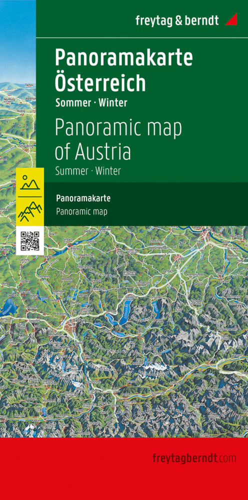
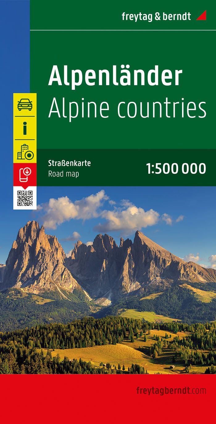
- Wegenkaart - landkaart the Alps - Alpenlander - Alpen | Freytag & Berndt
- Alpenländer - Österreich - Slowenien - Italien - Schweiz - Frankreich, Autokarte 1:500.000 ab 10.9 EURO Österreich / Slowenien / Italien / Schweiz / Frankreich. Citypläne. Alpenstraßen. Ortsregister mit Postleitzahlen Freytag & Berndt Autokarte. Neuauflage, Laufzeit bis 2019 Read more
Netherlands
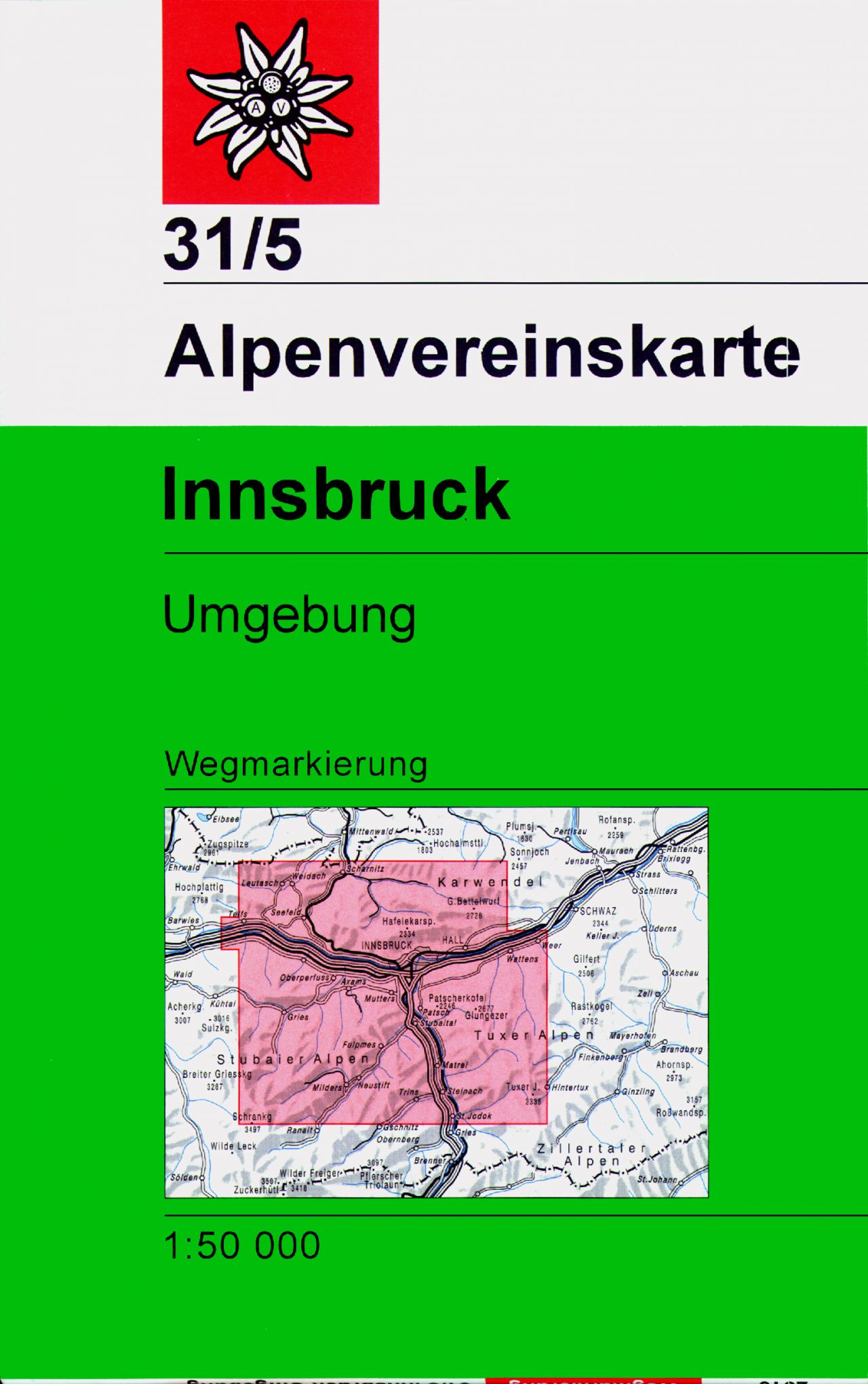
- Wandelkaart 31/5 Alpenvereinskarte Innsbruck und Umgebung | Alpenverein
- Innsbruck and the surrounding area of the Alps in a hiking edition at 1:50,000 from a series of detailed, GPS compatible maps published by the DAV - Deutscher Alpenverein and produced by the German and Austrian Alpine Clubs using cartography from their respective survey organizations. Maps in this series have topography vividly presented by... Read more
- Also available from:
- Stanfords, United Kingdom

United Kingdom
- Innsbruck and Environs Alpenverein Map 31/5
- Innsbruck and the surrounding area of the Alps in a hiking edition at 1:50,000 from a series of detailed, GPS compatible maps published by the DAV - Deutscher Alpenverein and produced by the German and Austrian Alpine Clubs using cartography from their respective survey organizations. Maps in this series have topography vividly presented by... Read more
Netherlands