
Verwall
Beschrijving

The Verwall is an extensive mountain area. It is situated north of the famous Rätikon and Silvretta. But unlike the Silvretta, Verwall has no striking peaks and glaciers. So skip Verwall and dive into Silvretta?
That depends. It is a relatively quiet destination in summertime. Yet, the Verwall is a lofty area, with several peaks above 3000 meters, such as the Hohe Riffler (3168 m), consisting of darkly coloured rock, with steep flank and corrie's filled with rumble. Well into summer, one might expect some snowfields. Therefore, light crampons and walking sticks are recommended.
The area is stocked with sufficient huts. Long traverses and tours are perfectly possible.
Kaart

Paden in deze regio
Links
Feiten
Verslagen
Gidsen en kaarten
Overnachting
Organisaties
Reisorganisaties
GPS
Anders
Boeken
De Zwerver
Netherlands
2010
Netherlands
2010
- Wandelgids Hikeline Paznaun | Esterbauer
- Handzame gids met een goede beschrijving van een groot aantal dagtochten in dit gebied. De gids is in spiraalbinding en elke pagina is op scheur- en watervast papier gedrukt. Daar is echt over nagedacht! Streckencharakteristik Länge, Höhenmeter und Anforderungen Die 40 Touren dieses Buches decken eine große Bandbreite von kurzen Spaziergängen... Read more

De Zwerver
Netherlands
2011
Netherlands
2011
- Wandelgids Tirol Oberinntal | Rother Bergverlag
- 50 Touren zwischen Innsbruck und Arlberg Rother Wanderbuch. 1. Auflage. Read more
Bol.com
Netherlands
Netherlands
- WF5605 Montafon, Arlberg, Silvretta Kompass
- De Kompass wandelgids + kaart geeft een overzicht van alle wandelroutes in het gebied met nauwkeurige routeaanwijzingen en hoogteaanduidingen, De extra grote kaart, schaal 1:35 000, is ideaal om van te voren uw route uit te stippelen en om onderweg te gebruiken • naast de bekende bestemmingen, worden ook de minder bekende vermeld • openbaar... Read more
- Also available from:
- Bol.com, Belgium
Bol.com
Belgium
Belgium
- WF5605 Montafon, Arlberg, Silvretta Kompass
- De Kompass wandelgids + kaart geeft een overzicht van alle wandelroutes in het gebied met nauwkeurige routeaanwijzingen en hoogteaanduidingen, De extra grote kaart, schaal 1:35 000, is ideaal om van te voren uw route uit te stippelen en om onderweg te gebruiken • naast de bekende bestemmingen, worden ook de minder bekende vermeld • openbaar... Read more
- Also available from:
- Bol.com, Belgium
Bol.com
Netherlands
Netherlands
- Brandnertal • Nenzinger Himmel • Rätikon
- Wandel- en fietskaart • schaal 1:35,000 • activiteitengids • plaatsnamenregister met postcodes • wandel- en fietspaden • mountainbikeroutes • ski- en langlaufroutes • GPS-punten • UTM Read more
- Also available from:
- Bol.com, Belgium
Bol.com
Belgium
Belgium
- Brandnertal • Nenzinger Himmel • Rätikon
- Wandel- en fietskaart • schaal 1:35,000 • activiteitengids • plaatsnamenregister met postcodes • wandel- en fietspaden • mountainbikeroutes • ski- en langlaufroutes • GPS-punten • UTM Read more

Stanfords
United Kingdom
United Kingdom
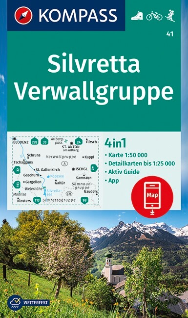
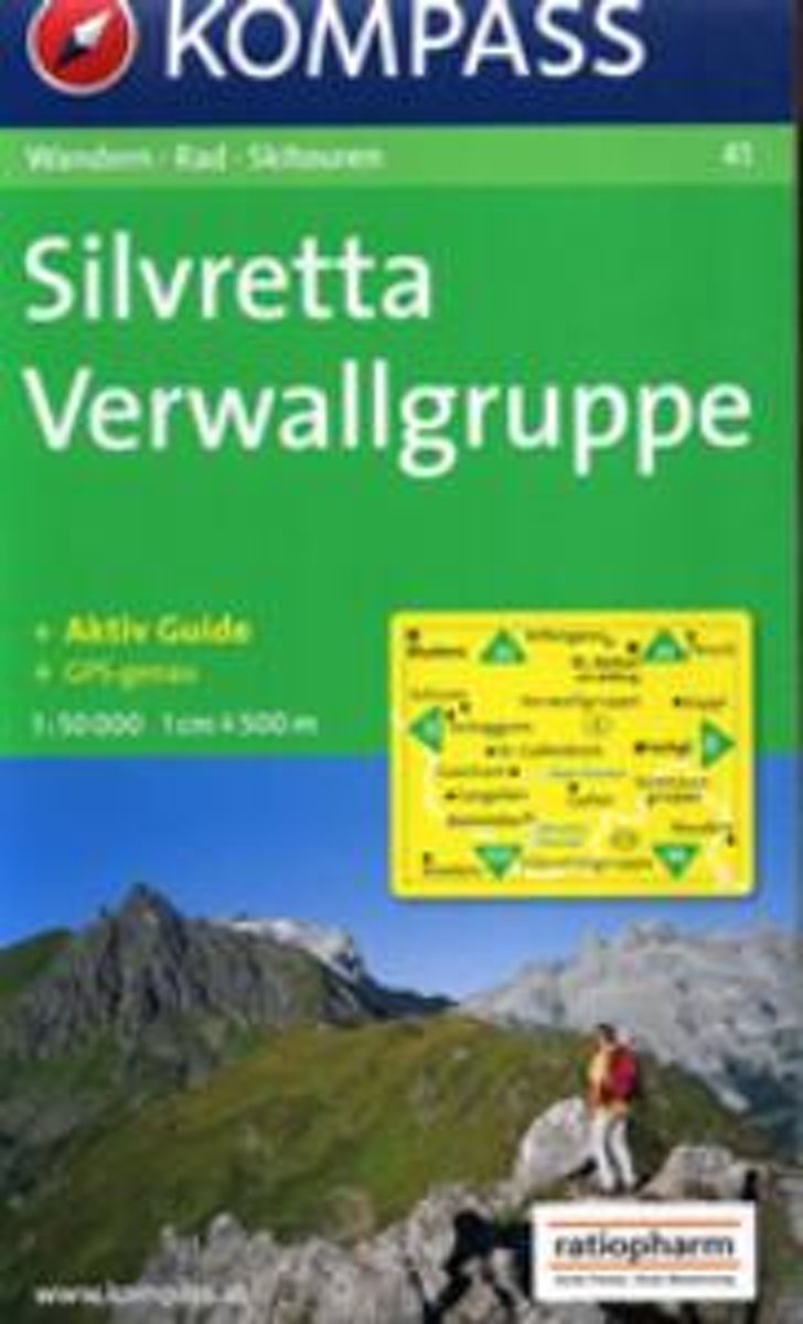
- Silvretta - Verwallgruppe Kompass 41
- Silvretta - Verwallgruppe area of the Austrian Alps on a detailed, GPS compatible map at 1:50,000 from Kompass with local and long-distance footpaths, cycling routes, accommodation, etc. KOMPASS HIKING & RECREATIONAL MAPS: this title is part of an extensive series covering Austria, much of Germany and the Slovenian Alps. Kompass are Europe’s... Read more
Kaarten
De Zwerver
Netherlands
Netherlands
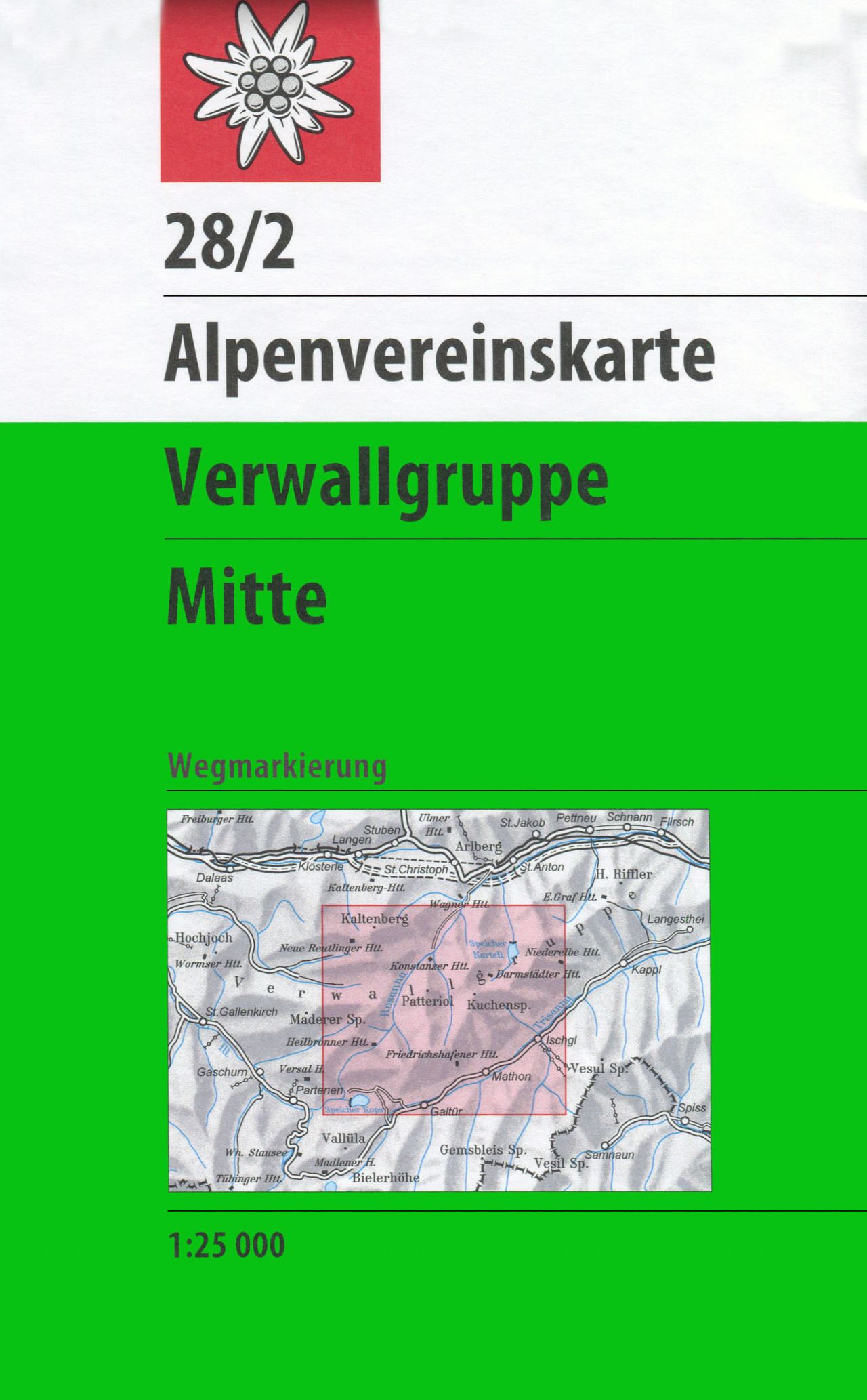
- Wandelkaart 28/2 Alpenvereinskarte Verwallgruppe - Mitte | Alpenverein
- Verwallgruppe Central area of the Alps in a hiking edition at 1:25,000 from a series of detailed, GPS compatible maps published by the DAV - Deutscher Alpenverein and produced by the German and Austrian Alpine Clubs using cartography from their respective survey organizations. Maps in this series have topography vividly presented by contours at... Read more
- Also available from:
- Stanfords, United Kingdom

Stanfords
United Kingdom
United Kingdom
- Verwallgruppe Central Alpenverein Map 28/2
- Verwallgruppe Central area of the Alps in a hiking edition at 1:25,000 from a series of detailed, GPS compatible maps published by the DAV - Deutscher Alpenverein and produced by the German and Austrian Alpine Clubs using cartography from their respective survey organizations. Maps in this series have topography vividly presented by contours at... Read more
De Zwerver
Netherlands
Netherlands
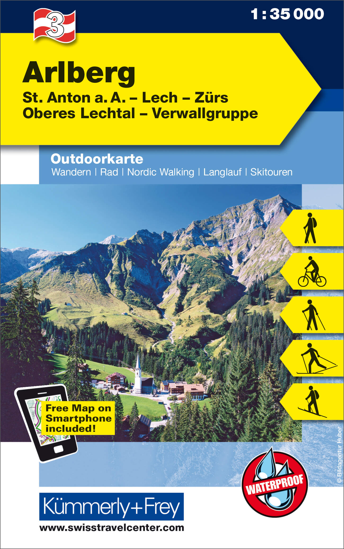
- Wandelkaart 03 Outdoorkarte AT Arlberg | Kümmerly & Frey
- Arlberg - St. Anton - Lech - Zürs - Oberes Lechtal - Verwallgruppe area of the Tyrol at 1:35,000 on a GPS compatible, double-sided map from Kümmerly+Frey printed on sturdy, waterproof and tear-resistant synthetic paper; contoured, with hiking, cycling and ski routes, accommodation facilities, locations for other recreational activities,... Read more
- Also available from:
- Stanfords, United Kingdom

Stanfords
United Kingdom
United Kingdom
- Arlberg - St. Anton - Lech - Zürs - Oberes Lechtal - Verwallgruppe K+F Outdoor Map 3
- Arlberg - St. Anton - Lech - Zürs - Oberes Lechtal - Verwallgruppe area of the Tyrol at 1:35,000 on a GPS compatible, double-sided map from Kümmerly+Frey printed on sturdy, waterproof and tear-resistant synthetic paper; contoured, with hiking, cycling and ski routes, accommodation facilities, locations for other recreational activities,... Read more
Bol.com
Netherlands
Netherlands
- Silvretta, Verwallgruppe WK41
- Deze Kompass wandelkaart, schaal 1:50 000, is ideaal om uw route uit te stippelen en om onderweg te gebruiken • naast de bekende bestemmingen, worden ook de minder bekende vermeld • openbaar vervoer bij begin- of eindpunt van een route aangegeven • eenvoudige wandelingen tot pittige (berg)tochten, voor getrainde en ongetrainde wandelaars • met... Read more
- Also available from:
- Bol.com, Belgium
Bol.com
Belgium
Belgium
- Silvretta, Verwallgruppe WK41
- Deze Kompass wandelkaart, schaal 1:50 000, is ideaal om uw route uit te stippelen en om onderweg te gebruiken • naast de bekende bestemmingen, worden ook de minder bekende vermeld • openbaar vervoer bij begin- of eindpunt van een route aangegeven • eenvoudige wandelingen tot pittige (berg)tochten, voor getrainde en ongetrainde wandelaars • met... Read more
Bol.com
Netherlands
Netherlands
- FB WK254 Landeck • Reschenpass • Samnaungruppe • Paznaun
- Fiets- en wandelkaart • schaal 1:50 000 • activiteiten gids • plaatsnamenregister met postcodes • fietspaden en mountainbikeroutes • vermelding GPS-punten • met ski- en langlaufroutes Read more
- Also available from:
- Bol.com, Belgium
- Stanfords, United Kingdom
Bol.com
Belgium
Belgium
- FB WK254 Landeck • Reschenpass • Samnaungruppe • Paznaun
- Fiets- en wandelkaart • schaal 1:50 000 • activiteiten gids • plaatsnamenregister met postcodes • fietspaden en mountainbikeroutes • vermelding GPS-punten • met ski- en langlaufroutes Read more

Stanfords
United Kingdom
United Kingdom
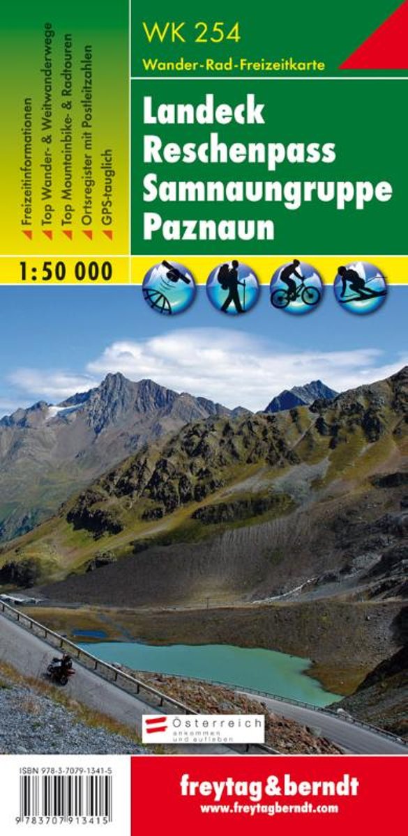
- Landeck - Reschenpass - Samnaungruppe - Paznaun F&B WK254
- Landeck - Reschenpass - Samnaun Alps - Paznaun area of the Austrian Alps presented at 1:50,000 in a series of contoured and GPS compatible outdoor leisure map from Freytag & Berndt with hiking and cycling routes, mountain huts, campsites and youth hostels, local bus stops, plus other tourist information.To see the list of currently available... Read more
Bol.com
Netherlands
Netherlands
- FB WK374 Montafon • Silvretta Hochalpenstrasse • Schruns Tschagguns • Piz Buin • Klostertal
- Fiets- en wandelkaart • schaal 1:50 000 • activiteiten gids • plaatsnamenregister met postcodes • fietspaden en mountainbikeroutes • vermelding GPS-punten • met ski- en langlaufroutes Read more
- Also available from:
- Bol.com, Belgium
- Stanfords, United Kingdom
Bol.com
Belgium
Belgium
- FB WK374 Montafon • Silvretta Hochalpenstrasse • Schruns Tschagguns • Piz Buin • Klostertal
- Fiets- en wandelkaart • schaal 1:50 000 • activiteiten gids • plaatsnamenregister met postcodes • fietspaden en mountainbikeroutes • vermelding GPS-punten • met ski- en langlaufroutes Read more

Stanfords
United Kingdom
United Kingdom
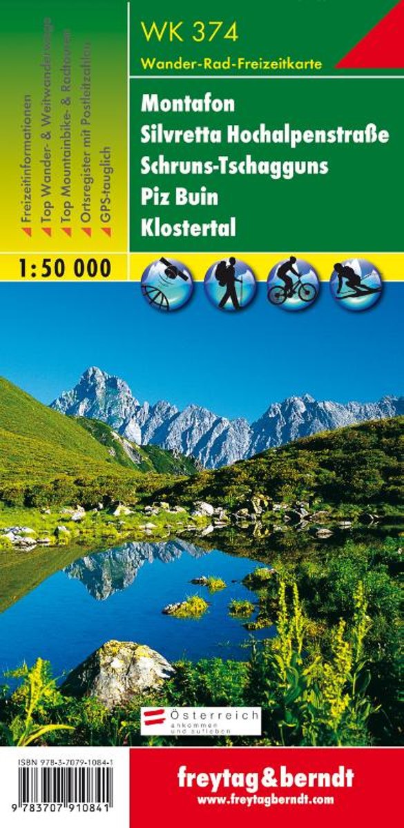
- Montafon - Silvretta - Schruns-Tschagguns - Piz Buin - Klostertal F&B WK374
- Montafon - Silvretta - Schruns-Tschagguns - Piz Buin - Klostertal – Bludenz area on the Austrian - Swiss border presented at 1:50,000 in a series of contoured and GPS compatible outdoor leisure map from Freytag & Berndt with hiking and cycling routes, mountain huts, campsites and youth hostels, local bus stops, plus other tourist information.... Read more

Bol.com
Netherlands
Netherlands
- FB WK364 Bregenzerwald
- Aufgrund der übersichtlichen und detailgetreuen, digitalen Kartographie sowie der ideal gewählten Maßstäbe sind freytag & berndt Wanderkarten der perfekte Begleiter beim Wandern und Bergsteigen. Sie werden regelmäßig überarbeitet und enthalten aktualisierte Informationen zu Wanderwegen, Rad- und Mountainbikestrecken, Hütten, Naturdenkmälern,... Read more
- Also available from:
- Bol.com, Belgium
- Stanfords, United Kingdom
- The Book Depository, United Kingdom
Bol.com
Belgium
Belgium
- FB WK364 Bregenzerwald
- Aufgrund der übersichtlichen und detailgetreuen, digitalen Kartographie sowie der ideal gewählten Maßstäbe sind freytag & berndt Wanderkarten der perfekte Begleiter beim Wandern und Bergsteigen. Sie werden regelmäßig überarbeitet und enthalten aktualisierte Informationen zu Wanderwegen, Rad- und Mountainbikestrecken, Hütten, Naturdenkmälern,... Read more

Stanfords
United Kingdom
United Kingdom
- Bregenz Forest F&B WK364
- Bregenz - Bregenzerwald area of the Austrian Alps presented at 1:50,000 in a series of contoured and GPS compatible outdoor leisure map from Freytag & Berndt with hiking and cycling routes, mountain huts, campsites and youth hostels, local bus stops, plus other tourist information. To see the list of currently available titles in this series... Read more

The Book Depository
United Kingdom
United Kingdom
- Bregenz Forest Hiking + Leisure Map 1:50 000
- Bregenz - Bregenzerwald area of the Austrian Alps presented at 1:50,000 in a series of contoured and GPS compatible outdoor leisure map from Freytag & Berndt with hiking and cycling routes, mountain huts, campsites and youth hostels, local bus stops, plus other tourist information. To see the list of currently available titles in this series... Read more

Stanfords
United Kingdom
United Kingdom
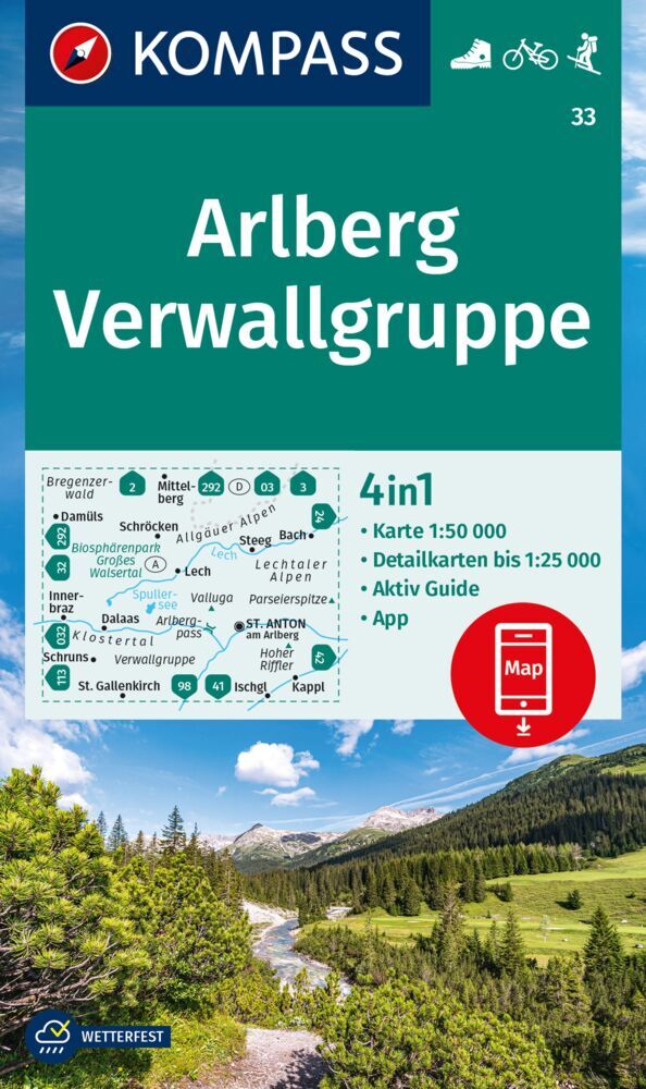
- Arlberg - Verwallgruppe Kompass 33
- Arlberg – Verwallgruppe area of the Austrian Alps, including Lech, St. Anton and Ischgl, on a detailed, GPS compatible map at 1:50,000 from Kompass with local and long-distance footpaths, cycling routes, accommodation, etc, printed on durable, waterproof and tear-resistant synthetic paper.KOMPASS HIKING & RECREATIONAL MAPS: this title is part... Read more

Stanfords
United Kingdom
United Kingdom
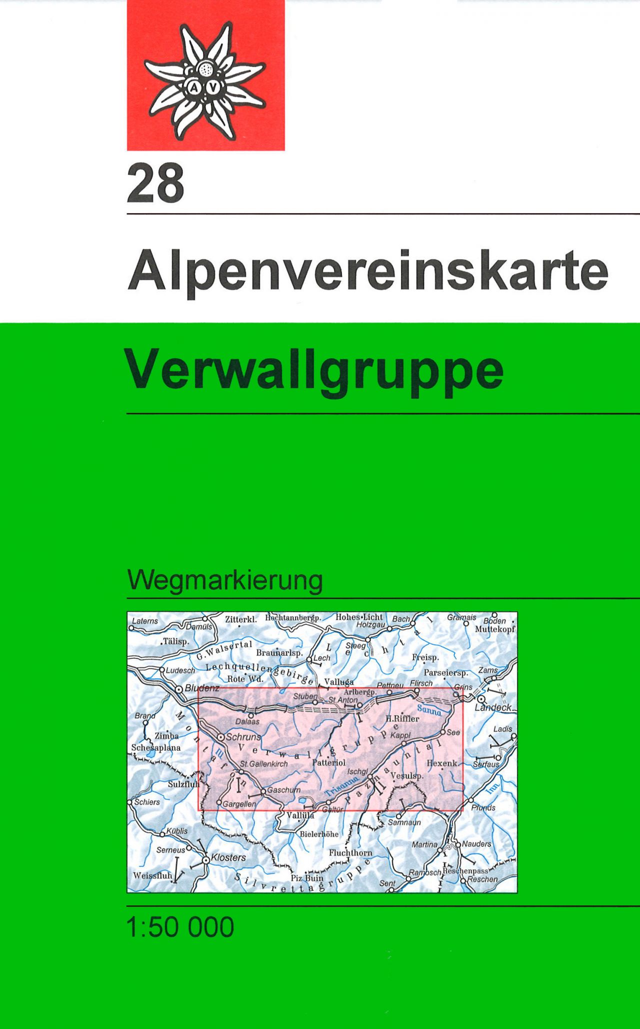
- Verwallgruppe Alpenverein Map 28
- Verwallgruppe area of the Alps in a hiking edition at 1:50,000 from a series of detailed, GPS compatible maps published by the DAV - Deutscher Alpenverein and produced by the German and Austrian Alpine Clubs using cartography from their respective survey organizations. Maps in this series have topography vividly presented by contours at 20... Read more

Stanfords
United Kingdom
United Kingdom
- Arlberg - Lech - St. Anton am Arlberg - Verwallgruppe F&B WK5504
- Arlberg - Lech - St. Anton am Arlberg - Verwallgruppe area of the Austrian Alps presented at 1:35,000 in a series of contoured and GPS compatible outdoor leisure map from Freytag & Berndt with hiking and cycling routes, mountain huts, campsites and youth hostels, local bus stops, plus other tourist information. Cartography is an enlargement of... Read more