
Alsace
Beschrijving
Alsace is a region on the western banks of the Rhine river, in France. It's a popular hiking area, including the Vosges: dense forested hills in the North and wider and higher hills in the South.
Paden in deze regio
Links
Feiten
Verslagen
Gidsen en kaarten
Overnachting
Organisaties
Reisorganisaties
GPS
Anders
Boeken

De Zwerver
Netherlands
2021
Netherlands
2021


De Zwerver
Netherlands
2021
Netherlands
2021
- Wandelgids 265 Vogesen - Durchquerung: GR53 GR5 | Rother Bergverlag
- In 37 etappes over de Lange Astands Wandelingen GR 53, GR 5 en GR 531 van Wissembourg naar Giromagny en Masevaux door de prachtige Vogezen. Goed alternatief voor de langverwachte maar nog steeds niet uitgekomen Crete des Vosges wandelgids van FFRP. Duitse samenvatting: Die Vogesen sind nicht nur eines der urwüchsigsten Mittelgebirge in unseren... Read more

De Zwerver
Netherlands
2023
Netherlands
2023

De Zwerver
Netherlands
2021
Netherlands
2021

De Zwerver
Netherlands
2009
Netherlands
2009
- Wandelgids GR 5 Mer Du Nord-Mediterrannee Noordzee - Middellandse Zee deel Ardennen (Maastricht - Diekirch ) | GR Sentiers
- LET OP: deze wandelgids van dit deel van de GR5 is alleen nog maar in het Frans leverbaar. De Nederlandstalige versie is geheel uitverkocht, niet meer te bestellen en er komt naar alle waarschijnlijkheid geen nieuwe versie in het Nederlands! Uitstekende routegids met gedetailleerde kaarten en een routebeschrijving. Fout lopen wordt op deze... Read more

De Zwerver
Netherlands
2023
Netherlands
2023
De Zwerver
Netherlands
2022
Netherlands
2022
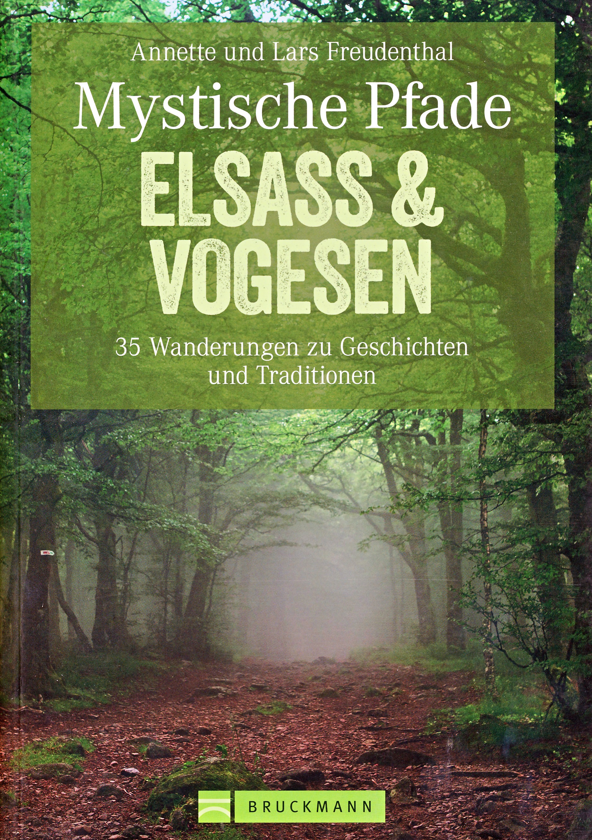
- Wandelgids Mystische Pfade Elsass & Vogesen - Elzas en Vogezen | Bruckmann Verlag
- 35 Wanderungen zu Geschichten und Traditionen Read more

Meer boeken…

Kaarten
De Zwerver
Netherlands
Netherlands
- Also available from:
- Stanfords, United Kingdom

Stanfords
United Kingdom
United Kingdom
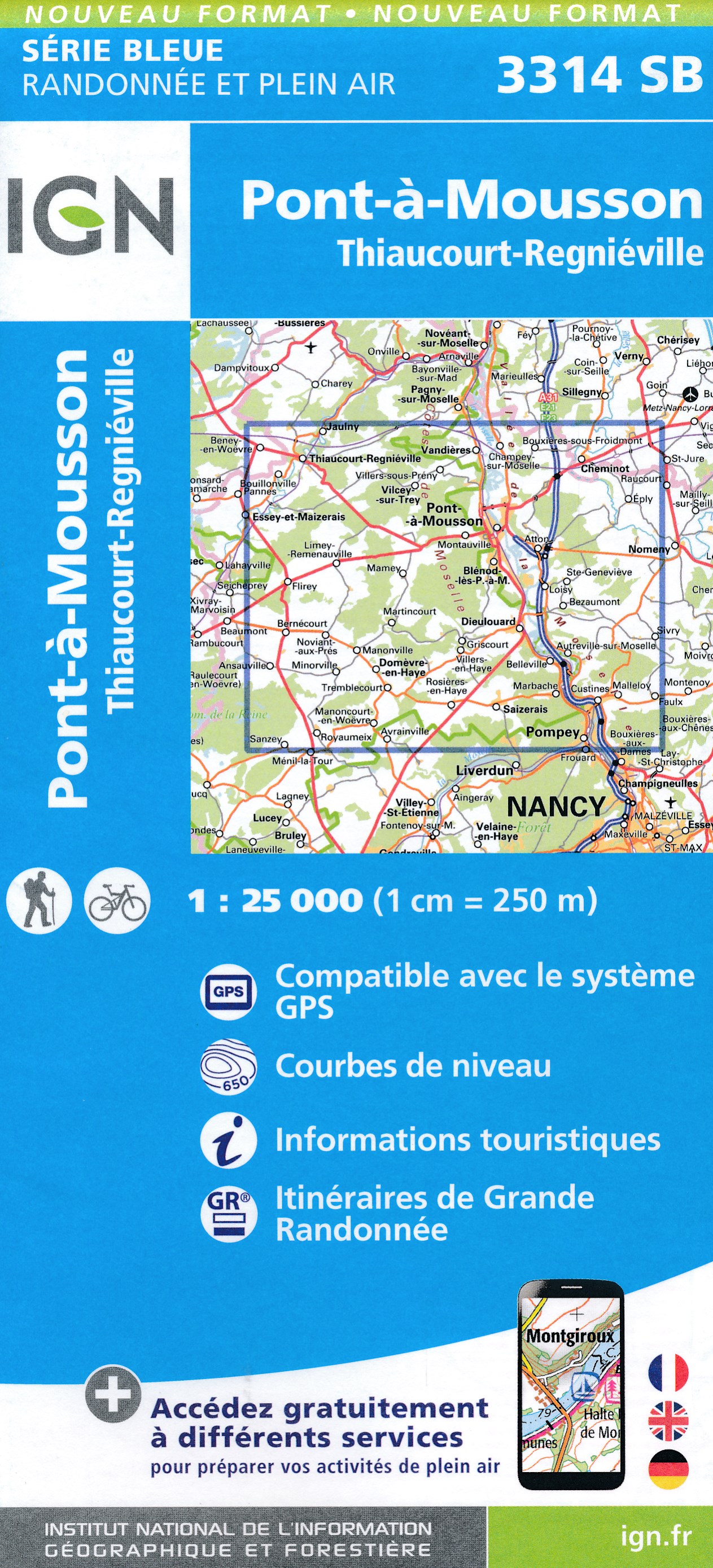
- Pont-a-Mousson - Thiaucourt-Regnieville IGN 3314SB
- Topographic survey of France at 1:25,000 in IGN`s excellent TOP25 / Série Bleue series. All the maps are GPS compatible, with a 1km UTM grid plus latitude and longitude lines at 5’ intervals. Contours are at 5m intervals except for mountainous areas where the maps have contours at 10m intervals, vividly enhanced by hill shading and graphics for... Read more
De Zwerver
Netherlands
Netherlands
- Also available from:
- Stanfords, United Kingdom

Stanfords
United Kingdom
United Kingdom
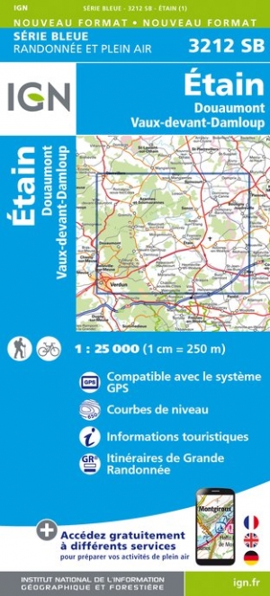
- Etain - Douaumont - Vaux-devant-Damloup IGN 3212SB
- Topographic survey of France at 1:25,000 in IGN`s excellent TOP25 / Série Bleue series. All the maps are GPS compatible, with a 1km UTM grid plus latitude and longitude lines at 5’ intervals. Contours are at 5m intervals except for mountainous areas where the maps have contours at 10m intervals, vividly enhanced by hill shading and graphics for... Read more
De Zwerver
Netherlands
Netherlands
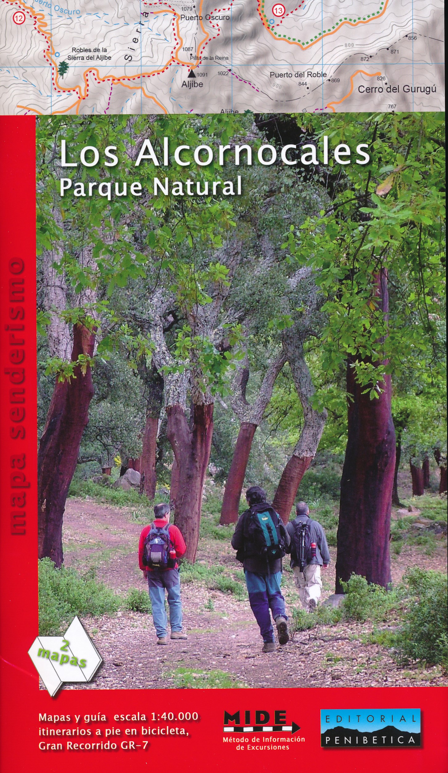
- Wandelkaart Los Alcornocales Parque Natural GR7 | Editorial Penibetica
- Een zeer uitgebreide wandelkaart van het nationale park Los Alcornocales, gelegen ten zuiden van Grazalema tot en met de kust richting Tarifa en Gibraltar. Inclusief een Spaanstalig gidsje met enkele beschreven wandelingen. Op de kaart worden hoogtelijnen, plaatselijke voorzieningen, wandelroutes en andere outdooractiviteiten meegenomen. GPS... Read more
De Zwerver
Netherlands
2024
Netherlands
2024

De Zwerver
Netherlands
2014
Netherlands
2014
- Wandelkaart 07 Mercantour & Alpi-Maritieme | Didier Richard
- Mercantour National Park and the Maritime Alps on a large, double-sided, contoured and GPS compatible map from Editions Didier Richard highlighting local walking trails and long-distance hiking routes including the GR5. Coverage extends from well north of Col de Larch to Sospel, Levens and Roquestéron in the mountains north of the French... Read more
- Also available from:
- Stanfords, United Kingdom

Stanfords
United Kingdom
2014
United Kingdom
2014
- Mercantour & Alpi-Marittime Didier Richard 07
- Mercantour National Park and the Maritime Alps on a large, double-sided, contoured and GPS compatible map from Editions Didier Richard highlighting local walking trails and long-distance hiking routes including the GR5. Coverage extends from well north of Col de Larch to Sospel, Levens and Roquestéron in the mountains north of the French... Read more
De Zwerver
Netherlands
Netherlands
- Also available from:
- Stanfords, United Kingdom

Stanfords
United Kingdom
United Kingdom
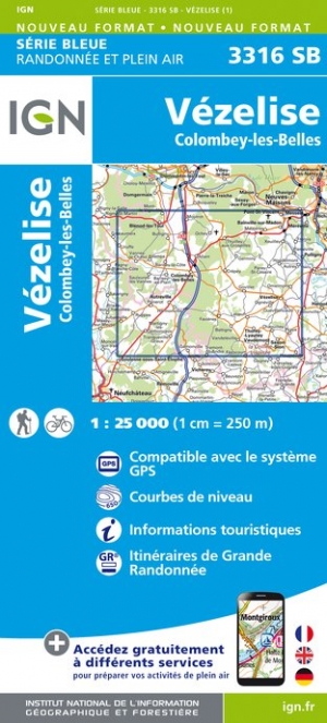
- Vezelise - Colombey-les-Belles IGN 3316SB
- Topographic survey of France at 1:25,000 in IGN`s excellent TOP25 / Série Bleue series. All the maps are GPS compatible, with a 1km UTM grid plus latitude and longitude lines at 5’ intervals. Contours are at 5m intervals except for mountainous areas where the maps have contours at 10m intervals, vividly enhanced by hill shading and graphics for... Read more
Meer kaarten…
