
Chartreuse
Beschrijving

The Massif de la Chartreuse is a mountain range north of the Vercor. Highest summit is Chamechaude, 2.082 m. The GR9 runs through this region.
Kaart

Paden in deze regio
Links
Feiten
Verslagen
Gidsen en kaarten
Overnachting
Organisaties
Reisorganisaties
GPS
Anders
Boeken
De Zwerver
Netherlands
2022
Netherlands
2022
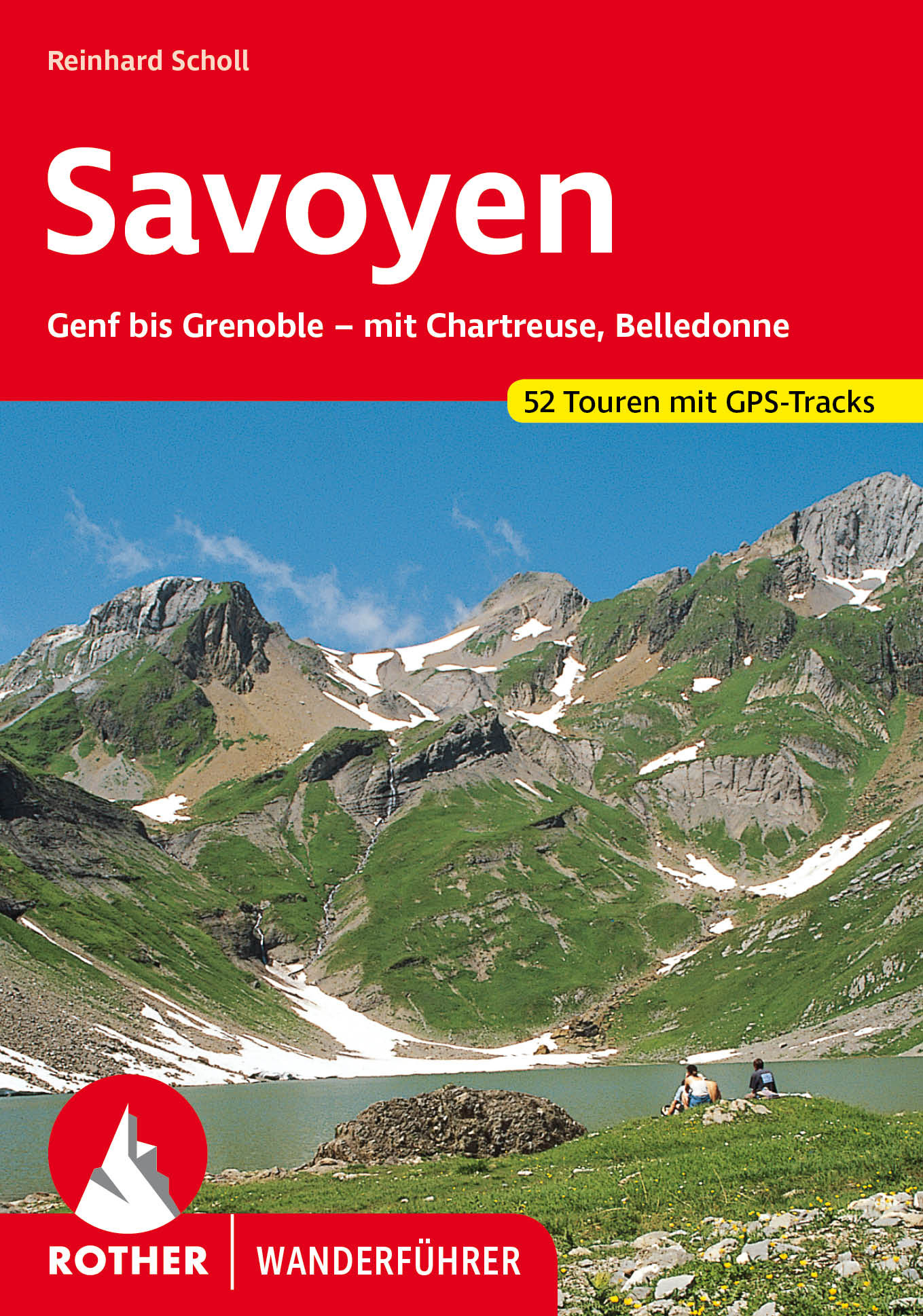
- Wandelgids 84 Savoie - Savoyen | Rother Bergverlag
- Uitstekende wandelgids met een groot aantal dagtochten in dal en hooggebergte. Met praktische informatie en beperkt kaartmateriaal! Wandelingen in verschillende zwaarte weergegeven in rood/blauw/zwart. Savoyen, zwischen Genfer See und Grenoble, ist ein Wandergebiet par excellence, ein Gebiet, in dem das tiefe Grün der Wälder mit dem sanften... Read more


De Zwerver
Netherlands
2022
Netherlands
2022

De Zwerver
Netherlands
2014
Netherlands
2014
- Wandelgids 901 Tours et traversées dans l'Ain GR9, GR9A, GR59 | FFRP
- Guide FFRandonnée Tours et Traversée dans l'ain. GR 59, 9, 9A. Etangs de la Dombes, monts et cluses du Revermont ou bocages de la Bresse. Plus de 50 jours de randonnée.Depuis les Monts du Jura, du Revermont ou du Bugey, ces itinéraires en boucle ou en ligne offrent aux randonneurs des vues imprenables. voici à l'est le Mont Blanc et les... Read more
- Also available from:
- Stanfords, United Kingdom

Stanfords
United Kingdom
2014
United Kingdom
2014
- GR59/GR9/GRP: Tours et Traversées de l`Ain FFRP Topo-guide No. 901
- Tours et Traversées de l`Ain, FFRP topoguide, Ref. No. 901, covering in all 949km of hiking trails in the French Jura between Lons-le-Saunier and the confluence of the Ain and the Rhône, including sections of GR 5, 9 and 9A. Current edition of this title was published in June 2014.ABOUT THE FFRP (Fédération française de la randonnée pédestre)... Read more
De Zwerver
Netherlands
2024
Netherlands
2024
De Zwerver
Netherlands
2024
Netherlands
2024
Bol.com
Netherlands
Netherlands
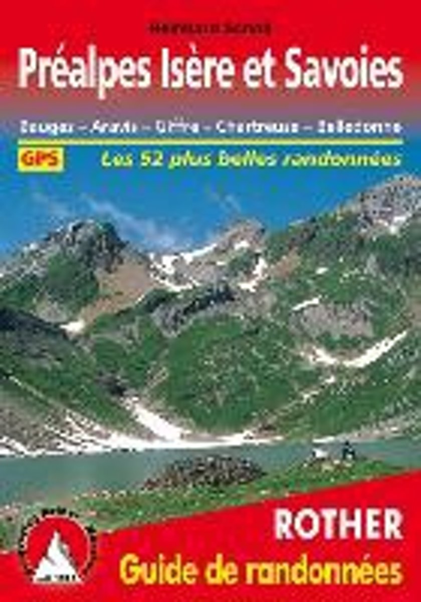
- Pr alpes Is re et Savoies
- Bauges - Aravis - Giffre - Chartreuse - Belledonne. Les 52 plus belles randonnées. GPS Read more
- Also available from:
- Bol.com, Belgium
Bol.com
Belgium
Belgium
- Pr alpes Is re et Savoies
- Bauges - Aravis - Giffre - Chartreuse - Belledonne. Les 52 plus belles randonnées. GPS Read more

Bol.com
Netherlands
Netherlands
- Dear France, Sweet Country of My Childhood
- A tribute to France with beautiful photos, delicious recipes, vintage postcards and posters, stories from the authors' childhood and interesting facts on French places and traditions. A must for anyone wanting to learn more about France or who is learning French, as it is entirely written in both English and French. In chapter 1, discover life... Read more
- Also available from:
- Bol.com, Belgium
Bol.com
Belgium
Belgium
- Dear France, Sweet Country of My Childhood
- A tribute to France with beautiful photos, delicious recipes, vintage postcards and posters, stories from the authors' childhood and interesting facts on French places and traditions. A must for anyone wanting to learn more about France or who is learning French, as it is entirely written in both English and French. In chapter 1, discover life... Read more

Stanfords
United Kingdom
2019
United Kingdom
2019
- La Grande Traversee du Jura GR5/GR9/GTJ
- La Grande Travesée du Jura, FFRP topoguide Ref. no. 512, covering the GTJ along the Jura Mountains in France from Nommay to Culoz, plus several variants off the main route including parts of the GR5 and GR9 – in all 509kms of hiking trails. Current edition of this title was published in March 2017.The GR509 offers hikers a path punctuated by... Read more

Stanfords
United Kingdom
2015
United Kingdom
2015
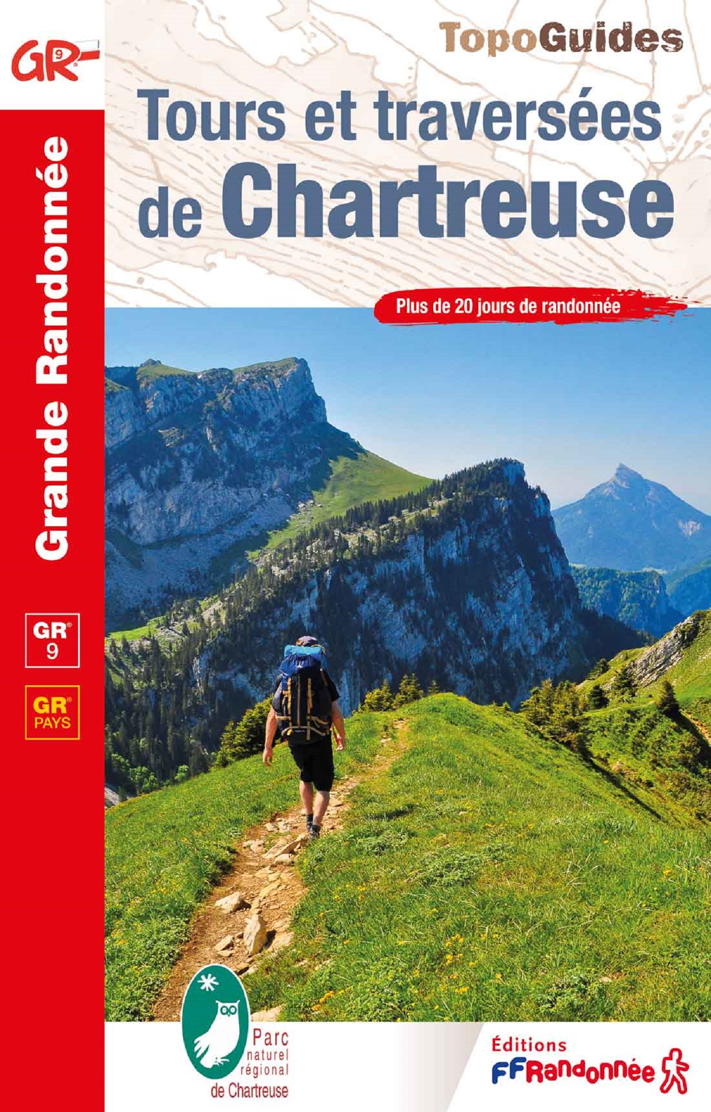
- GR9/GR96/GRP: Tours et Traversées de Chartreuse FFRP Topo-guide No. 903
- Tours et Traversées de Chartreuse, FFRP topoguide Ref. no. 903, covering 385kms of routes along the GR9 and GR96 in the northern part of the French Alps between Culoz, Chambéry and Grenoble. Current edition of this title was published in May 2015.ABOUT THE FFRP (Fédération française de la randonnée pédestre) TOPOGUIDES: published in a handy A5... Read more

Stanfords
United Kingdom
2017
United Kingdom
2017
- Le PNR du Haute-Jura à pied PN15
- Le Parc du Haute-Jura à pied, FFRP topo-guide Ref. No. PN15, with 41 day walks of varying length and difficulty in the French Jura, plus several two- to seven-days long tours including a section of GR9. Each day walk is presented on a separate colour extract from IGN’s topographic survey of France at 1:25,000, with its description... Read more
De Zwerver
Netherlands
2014
Netherlands
2014
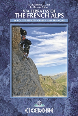
- Wandelgids - Klimgids - Klettersteiggids Via Ferratas of the French Alps | Cicerone
- This guidebook covers 66 varied via ferratas in the French Alps. The routes are spread over six areas: Geneva and the Northern Alps, Chambéry, Tarentaise and Maurienne valleys, Grenoble and Briançon, amid the Mont Blanc, Vanoise and Queyras ranges. Difficulty ranges from easy, protected routes through to exposed, technical challenges. Read more
- Also available from:
- Stanfords, United Kingdom
- The Book Depository, United Kingdom

Stanfords
United Kingdom
2014
United Kingdom
2014
- French Alps - Via Ferratas - 66 Routes Between Geneva and Briançon
- Via Ferratas of the French Alps by Cicerone covers 66 varied routes across six areas: Geneva and the Northern Alps, Chambéry, Tarentaise and Maurienne valleys, Grenoble and Briançon, amid the Mont Blanc, Vanoise and Queyras ranges. Difficulty ranges from easy, protected routes through to exposed, technical challenges. The routes in this... Read more

The Book Depository
United Kingdom
2014
United Kingdom
2014
- Via Ferratas of the French Alps
- 66 routes between Geneva and Briancon Read more
Kaarten
De Zwerver
Netherlands
2019
Netherlands
2019
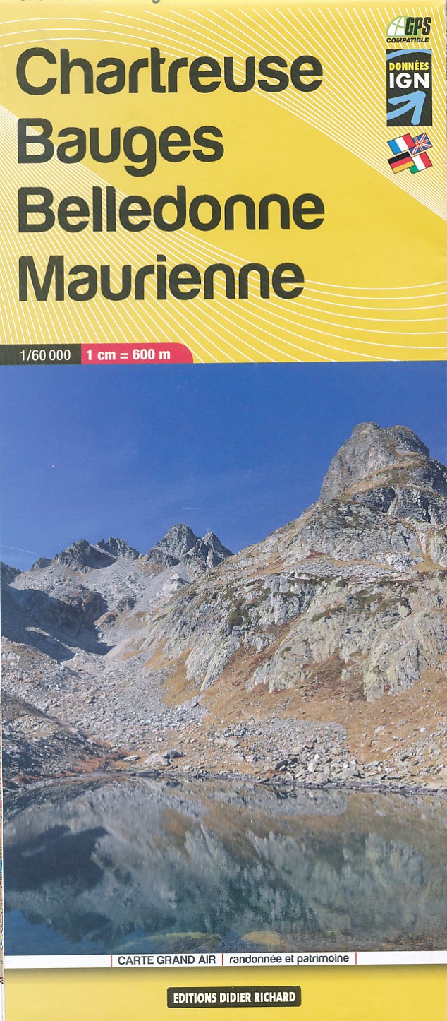
- Wandelkaart 03 Chartreuse - Bauges - Belledonne - Maurienne | Didier Richard
- Des cartes du 1:35 000 au 1:60 000, sur fond IGN, enrichies d'informations touristiques et de randonnée (itinéraires pédestres, centres VTT-FFC, via ferrata, patrimoine historique, lieux touristiques, coordonnées utiles)Partez à la découverte de ces territoires où il fait bon séjourner ! Read more
De Zwerver
Netherlands
Netherlands
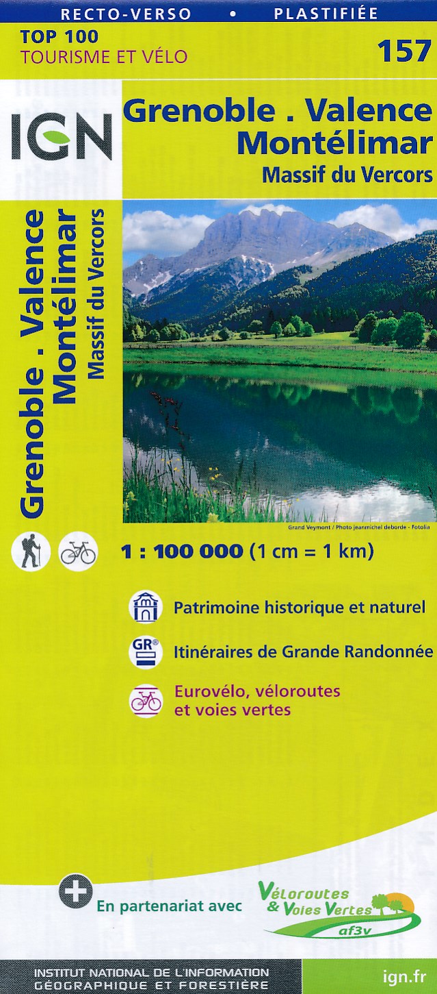
- Fietskaart - Wegenkaart - landkaart 157 Grenoble - Valance | IGN - Institut Géographique National
- Map No. 157, Grenoble - Montélimar, at 1:100,000, part of the TOP100 series from the Institut Géographique National (IGN). These exceptionally detailed, contoured and GPS compatible road maps which include English language map legend are ideal for exploring the French countryside by car, by bike, or even on foot. Used by millions of locals and... Read more
- Also available from:
- Stanfords, United Kingdom

Stanfords
United Kingdom
United Kingdom
- Grenoble - Valence - Montelimar - Massif du Vercors IGN TOP100 157
- Discover the new double-sided laminated edition of TOP100 road maps of France from the Institut Géographique National (IGN); exceptionally detailed, contoured road maps which include the cycle paths and greenways of the AF3V (French Association for the Development of Cycle Paths and Greenways), ideal for exploring the French countryside by car,... Read more

Stanfords
United Kingdom
United Kingdom
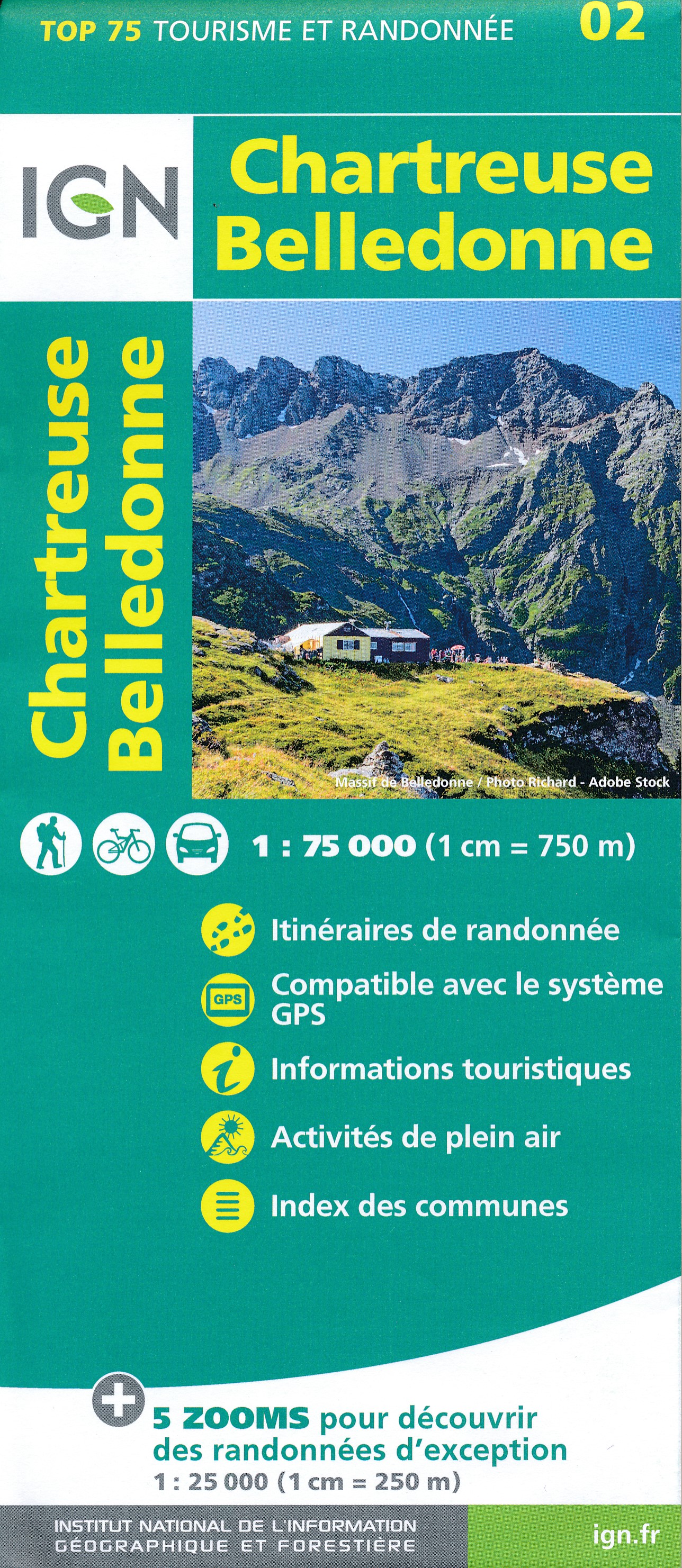
- Chartreuse - Belledonne IGN 75002
- Chartreuse – Belledonne region in a series of GPS compatible, contoured TOP 75 maps at 1:75,000 from the IGN, highlighting local and long-distance hiking paths, cycling routes and sites for other recreational activities. The map includes five large panels showing the areas around Pointe de la Gorgeat, Lacs des Sept Laux, Grand Pic de... Read more

Stanfords
United Kingdom
United Kingdom
- Massif de la Chartreuse Nord IGN 3333OT
- Topographic survey of France at 1:25,000 in IGN`s excellent TOP25 / Série Bleue series. All the maps are GPS compatible, with a 1km UTM grid plus latitude and longitude lines at 5’ intervals. Contours are at 5m intervals except for mountainous areas where the maps have contours at 10m intervals, vividly enhanced by hill shading and graphics for... Read more

Stanfords
United Kingdom
United Kingdom
- Massif de la Chartreuse Nord IGN WATERPROOF 3333OTR
- Topographic survey of France at 1:25,000 in IGN`s excellent TOP25 / Série Bleue series. All the maps are GPS compatible, with a 1km UTM grid plus latitude and longitude lines at 5’ intervals. Contours are at 5m intervals except for mountainous areas where the maps have contours at 10m intervals, vividly enhanced by hill shading and graphics for... Read more
Stanfords
United Kingdom
2019
United Kingdom
2019
- Tours et Traversées du Vercors - du Diois et les Baronnies GR9/GR91
- Tours et Traversées dans Vercors, le Diois et les Baronnies, FFRP topo-guide Ref. No. 904, covering in all over 1000 km of routes and circuits along the GR9, GR91, GR93, GR95, GR429 and GRs de Pays between Grenoble, Die and Brantes in Provence north of Mt Ventoux. Topographic mapping from the IGN is accompanied by detailed route descriptions,... Read more
De Zwerver
Netherlands
Netherlands
- Also available from:
- Stanfords, United Kingdom
- The Book Depository, United Kingdom

Stanfords
United Kingdom
United Kingdom
- Massif de la Chartreuse South IGN 3334OT
- Between 2014 and 2019, the IGN renewed its entire Serie Bleue collection.A new map for optimal readability, with better geometric precision and enriched tourist information.A new format twice as large: the format of the new Serie Bleue is equivalent to that of the Top 25 and the number of references will thus be divided by 2.For most maps, the... Read more


Stanfords
United Kingdom
United Kingdom
- Massif de la Chartreuse South IGN WATERPROOF 3334OTR
- Between 2014 and 2019, the IGN renewed its entire Serie Bleue collection.A new map for optimal readability, with better geometric precision and enriched tourist information.A new format twice as large: the format of the new Serie Bleue is equivalent to that of the Top 25 and the number of references will thus be divided by 2.For most maps, the... Read more
- Also available from:
- The Book Depository, United Kingdom


De Zwerver
Netherlands
Netherlands
- Also available from:
- The Book Depository, United Kingdom
Stanfords
United Kingdom
2020
United Kingdom
2020
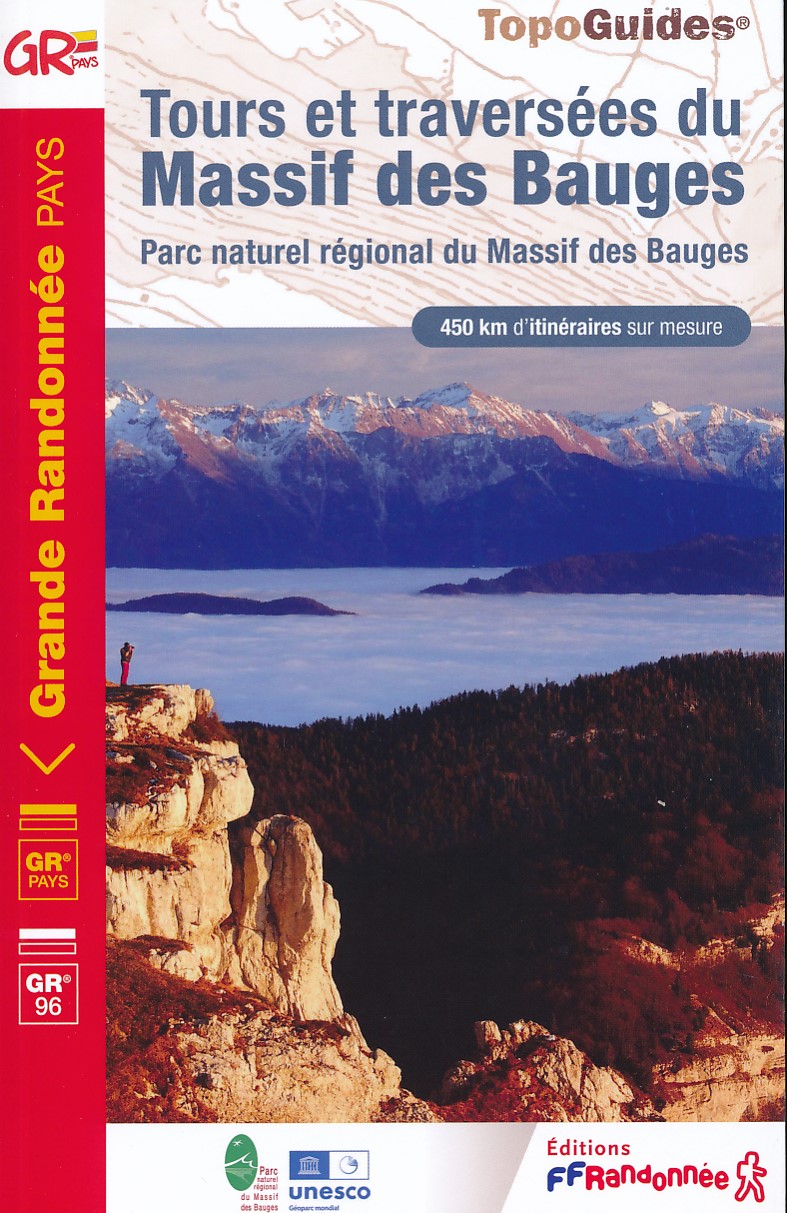
- Tours et Traversées du Massif des Bauges GR96
- Tours et Traversées du Massif des Bauges, FFRP topoguide Ref. no. 902, covering 500kms of routes in the French Alps between Annecy, Aix-les-Bains, Chambéry and Albertville. Current edition of this title was published in May 2015.ABOUT THE FFRP (Fédération française de la randonnée pédestre) TOPOGUIDES: published in a handy A5 paperback format,... Read more
- Also available from:
- The Book Depository, United Kingdom

The Book Depository
United Kingdom
2020
United Kingdom
2020
- Tour et travers�es du Massif des Bauges GR96/GRP
- Tours et Traversées du Massif des Bauges, FFRP topoguide Ref. no. 902, covering 500kms of routes in the French Alps between Annecy, Aix-les-Bains, Chambéry and Albertville. Current edition of this title was published in May 2015.ABOUT THE FFRP (Fédération française de la randonnée pédestre) TOPOGUIDES: published in a handy A5 paperback format,... Read more