Haute Savoie
Beschrijving
Paden in deze regio
Links
Feiten
Verslagen
Gidsen en kaarten
Overnachting
Organisaties
Reisorganisaties
GPS
Anders
Boeken


De Zwerver
Netherlands
2021
Netherlands
2021


De Zwerver
Netherlands
2021
Netherlands
2021
- Wandelgids 265 Vogesen - Durchquerung: GR53 GR5 | Rother Bergverlag
- In 37 etappes over de Lange Astands Wandelingen GR 53, GR 5 en GR 531 van Wissembourg naar Giromagny en Masevaux door de prachtige Vogezen. Goed alternatief voor de langverwachte maar nog steeds niet uitgekomen Crete des Vosges wandelgids van FFRP. Duitse samenvatting: Die Vogesen sind nicht nur eines der urwüchsigsten Mittelgebirge in unseren... Read more
De Zwerver
Netherlands
2022
Netherlands
2022
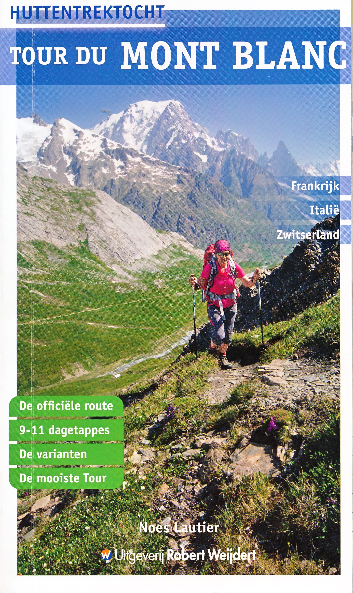
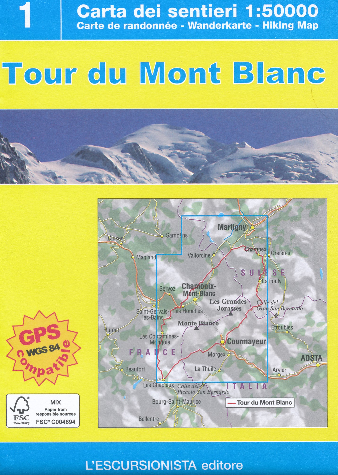
- Wandelgids Tour du Mont Blanc - Huttentrektocht | Robert Weijdert
- De Tour du Mont Blanc is een lange meerdaagse tocht rondom het hoogste massief van de Alpen. De route, die door Frankrijk, Italië en Zwitserland loopt en die gemiddeld twee weken in beslag neemt, is ook in Nederland zeer bekend geworden. De telkens wisselende landschappelijke beelden van hoge bergen, reusachtige gletsjers en lieflijke dalen... Read more


De Zwerver
Netherlands
2024
Netherlands
2024


De Zwerver
Netherlands
2009
Netherlands
2009
- Wandelgids GR 5 Mer Du Nord-Mediterrannee Noordzee - Middellandse Zee deel Ardennen (Maastricht - Diekirch ) | GR Sentiers
- LET OP: deze wandelgids van dit deel van de GR5 is alleen nog maar in het Frans leverbaar. De Nederlandstalige versie is geheel uitverkocht, niet meer te bestellen en er komt naar alle waarschijnlijkheid geen nieuwe versie in het Nederlands! Uitstekende routegids met gedetailleerde kaarten en een routebeschrijving. Fout lopen wordt op deze... Read more

De Zwerver
Netherlands
2016
Netherlands
2016
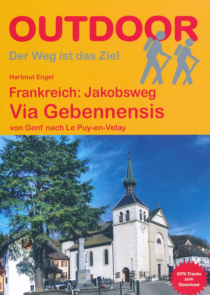
- Wandelgids - Pelgrimsroute Frankreich: Jakobsweg, Via Gebennensis | Conrad Stein Verlag
- von Genf nach Le Puy-en-Velay Read more

De Zwerver
Netherlands
2021
Netherlands
2021
Kaarten

De Zwerver
Netherlands
2020
Netherlands
2020
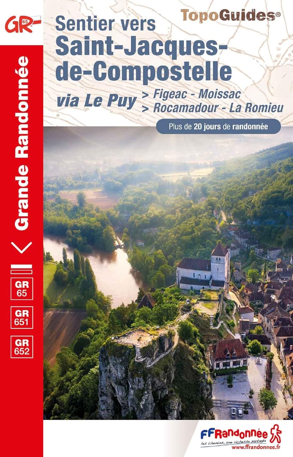
- Wandelatlas - Pelgrimsroute (kaart) 161 Chemins de Compostelle GR65 | Michelin
- Véritable petit atlas détaillant chaque étape avec indications précises concernant les villes de départ et d'arrivée ainsi que pour les localités traversées (auberges, refuges, restaurants, pharmacies, gare, épiceries, Km parcourus, Km restants....).Ce petit atlas suit le chemin du... Read more
De Zwerver
Netherlands
2012
Netherlands
2012
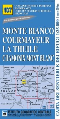
- Wandelkaart 107 Monte Bianco, Courmayeur, Chamonix, la Thuile | IGC - Istituto Geografico Centrale
- Mont Blanc - Courmayeur - Chamonix - La Thuile area at 1:25,000 in a series of contoured, GPS compatible walking maps from the Turin based Istituto Geografico Centrale, highlighting hiking trails including long-distance routes, ski routes and alpine accommodation. The maps have contours at 25m intervals, enhanced by shading and graphic relief... Read more
- Also available from:
- Stanfords, United Kingdom

Stanfords
United Kingdom
2012
United Kingdom
2012
- Monte Bianco/Mt. Blanc - Courmayeur - Chamonix - La Thuile 25K IGC Map No. 107
- Mont Blanc - Courmayeur - Chamonix - La Thuile area at 1:25,000 in a series of contoured, GPS compatible walking maps from the Turin based Istituto Geografico Centrale, highlighting hiking trails including long-distance routes, ski routes and alpine accommodation. Maps in this series have contours at 25m intervals, enhanced by shading and... Read more
De Zwerver
Netherlands
2012
Netherlands
2012
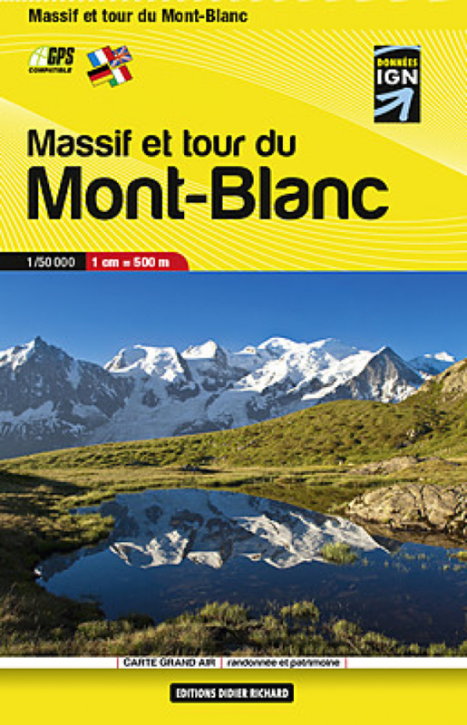
- Wandelkaart Massif et tour du Mont-Blanc | Didier Richard
- Mont Blanc Mini Map at 1:50,000 from Editions Didier Richard covering the whole of the Tour of Mont Blanc (TMB) on a double-sided, contoured, GPS compatible hiking map from with both local hiking paths and other long-distance GR routes. The base map, derived from IGN Read more
- Also available from:
- Stanfords, United Kingdom

Stanfords
United Kingdom
2012
United Kingdom
2012
- Mont Blanc Pocket Map Edition Didier Richard
- Mont Blanc Mini Map at 1:50,000 from Editions Didier Richard covering the whole of the Tour of Mont Blanc (TMB) on a double-sided, contoured, GPS compatible hiking map from with both local hiking paths and other long-distance GR routes. The base map, derived from IGN’s topographic survey, has contours at 50m intervals enhanced by shading and... Read more
De Zwerver
Netherlands
2018
Netherlands
2018
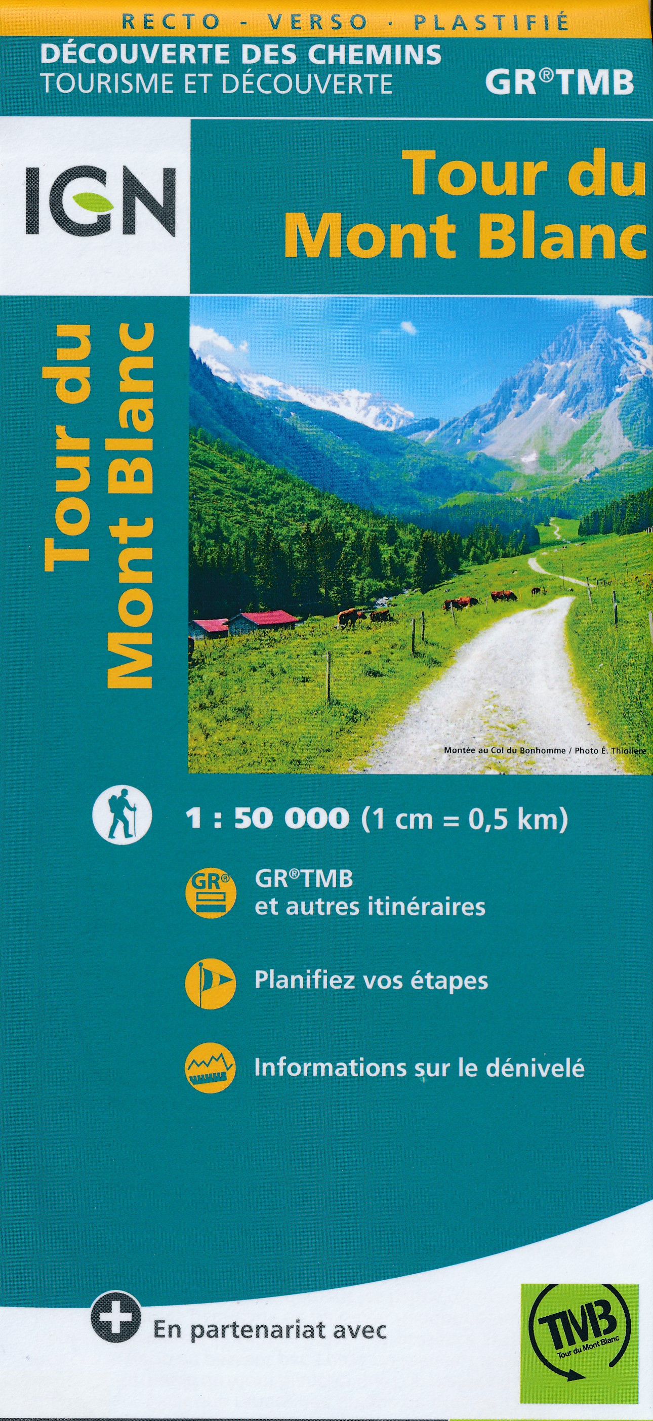
- Wandelkaart Tour du Mont Blanc | IGN - Institut Géographique National
- Goede, handzame, tweezijdig bedrukte kaart van de Tour du Mont Blanc Tour (TMB) met hoogte profielen en ingetekende route. 3 landen: Frankrijk, Italië en Zwitserland totale lengte 170 kilometer Inclusief 10.000 meter hoogteverschil Schaal 1: 50.000 (1 cm = 500 m) Een onmisbare hulp bij de voorbereiding van de route: de etappen, accommodaties,... Read more
- Also available from:
- Stanfords, United Kingdom

Stanfords
United Kingdom
2018
United Kingdom
2018
- Tour du Mont-Blanc IGN 89025
- Goede, handzame, tweezijdig bedrukte kaart van de Tour du Mont Blanc Tour (TMB) met hoogte profielen en ingetekende route. 3 landen: Frankrijk, Italië en Zwitserland totale lengte 170 kilometer Inclusief 10.000 meter hoogteverschil Schaal 1: 50.000 (1 cm = 500 m) Een onmisbare hulp bij de voorbereiding van de route: de etappen, accommodaties,... Read more


De Zwerver
Netherlands
Netherlands
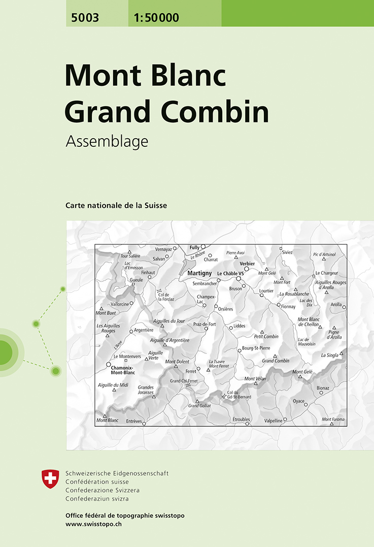
- Wandelkaart - Topografische kaart 5003 Mont Blanc Grand Combin | Swisstopo
- Mont Blanc - Grand Combin area, map No. 5003, in the standard topographic survey of Switzerland at 1:50,000 from Swisstopo, i.e. without the special overprint highlighting walking trails, local bus stops, etc, presented in Swisstopo Read more
- Also available from:
- Stanfords, United Kingdom

Stanfords
United Kingdom
United Kingdom
- Mont Blanc - Grand Combin Swisstopo 5003
- Mont Blanc - Grand Combin area, map No. 5003, in the standard topographic survey of Switzerland at 1:50,000 from Swisstopo, i.e. without the special overprint highlighting walking trails, local bus stops, etc, presented in Swisstopo’s hiking editions of the 50K survey. Coverage extends from Chamonix and the Mont Blanc massif eastwards to Arolla... Read more
De Zwerver
Netherlands
Netherlands
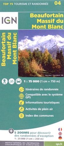
- Wandelkaart - Fietskaart 04 Beaufortain - Massif du Mont Blanc | IGN - Institut Géographique National
- Une carte générale de très grande lisibilité au 1/75 000 + 5 extraits de TOP25 au 1/25 000 en une seule carte ! Read more
- Also available from:
- Stanfords, United Kingdom

Stanfords
United Kingdom
United Kingdom
- Beaufortain - Massif du Mont Blanc IGN 75004
- Massif du Mont Blanc – Beaufortain region in a series of GPS compatible, contoured TOP 75 maps at 1:75,000 from the IGN, highlighting local and long-distance hiking paths, cycling routes and sites for other recreational activities. In this revised 2015 edition the main 75K map now covers the whole of the Tour of Mont Blanc (TMB) including its... Read more


Meer kaarten…