
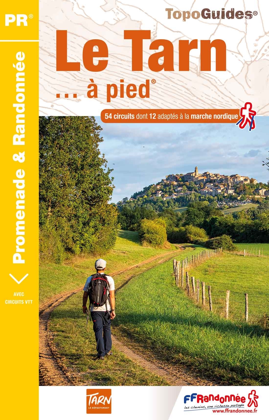
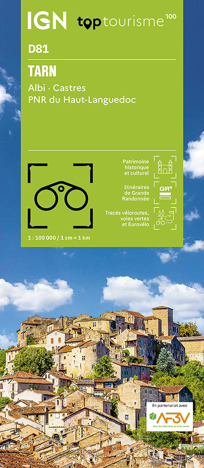
Tarn
Beschrijving
- Toegangsplaatsen Department and river in the south of France.
Paden in deze regio
Links
Feiten
Verslagen
Gidsen en kaarten
Overnachting
Organisaties
Reisorganisaties
GPS
Anders
Boeken
De Zwerver
Netherlands
2011
Netherlands
2011
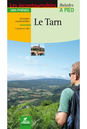
- Wandelgids le Tarn | Chamina
- Franstalige wandelgids (met Ned. woordenlijst) met gedetailleerde kaarten, routebeschrijvingen en wetenswaardigheden. Fraai geillustreerd. Le territoire concerné Couverture harmonieuse de tout le département, de l’Albigeois (Albi est classée Patrimoine Mondial de l’Unesco depuis août 2010), aux monts de Lacaune en passant par la Montagne Noire,... Read more
De Zwerver
Netherlands
2021
Netherlands
2021
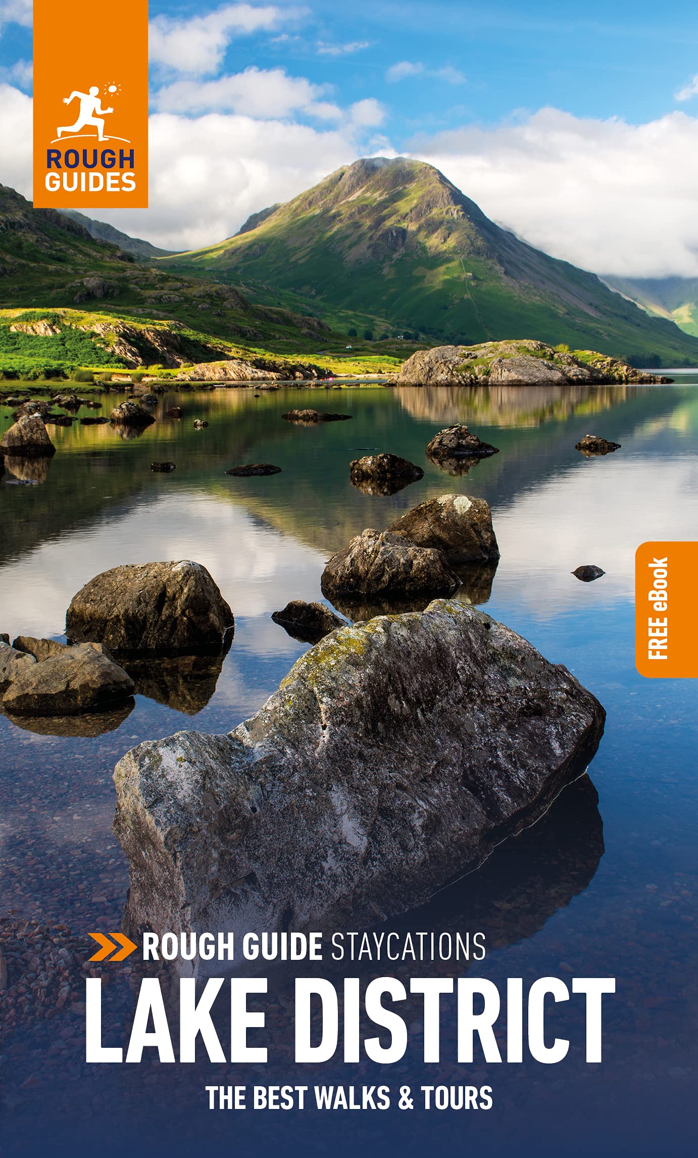
- Reisgids Lake District | Rough Guides
- Rough Guides Staycations Lake District Make the most of your time on Earth with the ultimate travel guides.Inspirational and informative new pocket guide, with free eBook, making the most of holidaying at home in the UK through clearly laid-out walks and tours. Explore the best of the Lake District with this unique travel guide, packed full of... Read more
De Zwerver
Netherlands
2022
Netherlands
2022
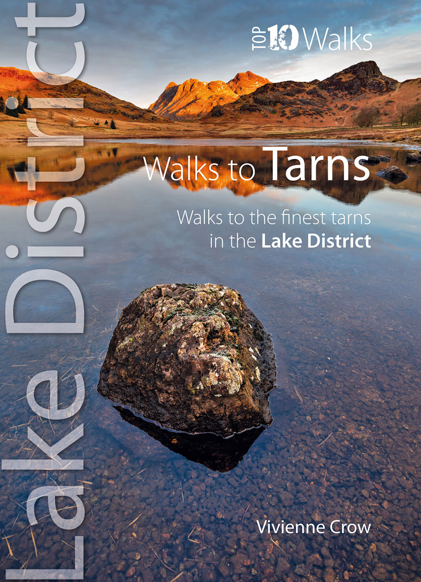
- Wandelgids Walks to the Tarns in the Lake District | Northern Eye Books
- The new revised edition of this popular guide gives walkers ten of the finest walks to small upland lakes or tarns in the Lake District National Park, in a popular pocketable format. With clear information, an overview and introduction for each walk, expertly written numbered directions, large scale Ordnance Survey maps, superb eye-grabbing... Read more
De Zwerver
Netherlands
2014
Netherlands
2014
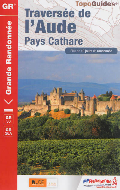
- Wandelgids 360 Traversée de l'Aude - Pays Cathare GR36 - GR36A | FFRP
- Guide FFRandonnée Traversée de l'Aude - Pays Cathare - 360 - GR36 , 36A150 km de sentiers au cœur de l'Occitanie, à la rencontre des richesses naturelles et patrimoniales de l'Aude, Pays Cathare.Cheminant de la Normandie à l'Espagne, le GR® 36 traverse l'Aude de part en part, du nord au sud. Frais ombrages du Canal du Midi, Cité médiévale de... Read more
- Also available from:
- Stanfords, United Kingdom

Stanfords
United Kingdom
2014
United Kingdom
2014
- GR36/36A: Traversée de l`Aude - Pays Cathare FFRP Topo-guide No. 360
- Traversée de l`Aude - Pays Cathare, FFRP topoguide Ref. No.360, covering the 150km long GR360 across the department of Aude in south-western France from the Montaigne Noire via Carcassonne to St-Paul-de-Fenouillet in the Pyrenees. Several variants from the southern half of the route offer possibilities for shorter local tours. Current edition... Read more
- Also available from:
- Stanfords, United Kingdom

Stanfords
United Kingdom
2016
United Kingdom
2016
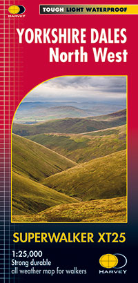
- Yorkshire Dales North West Harvey Superwalker XT25
- The north-western part of the Yorkshire Dales at 1:25,000 on a light, waterproof and tear-resistant map from Harvey Map Services in their Superwalker series. Coverage extends from Kirkby Stephen southwards beyond Hawes in the upper part of Wensleydale to the Great Knoutberry Hill, and includes The Calf, West and East Baugh Fell, Tarn Rigg Hill,... Read more
De Zwerver
Netherlands
Netherlands
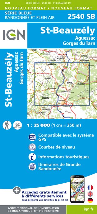
- Wandelkaart - Topografische kaart 2540SB St-Beauzély, Aguessac, Gorges-du-Tarn | IGN - Institut Géographique National
- L'indispensable carte de randonnée IGN aux alentours de Saint-Beauzély - Aguessac - Gorges du Tarn. A conserver dans son sac à dos. Read more
- Also available from:
- Stanfords, United Kingdom

Stanfords
United Kingdom
United Kingdom
- St-Beauzely - Aguessac - Gorges du Tarn IGN 25K Série Bleue Map 2540SB
- Topographic survey of France at 1:25,000 in IGN`s excellent TOP25 / Série Bleue series. All the maps are GPS compatible, with a 1km UTM grid plus latitude and longitude lines at 5’ intervals. Contours are at 5m intervals except for mountainous areas where the maps have contours at 10m intervals, vividly enhanced by hill shading and graphics for... Read more
Bol.com
Netherlands
2015
Netherlands
2015
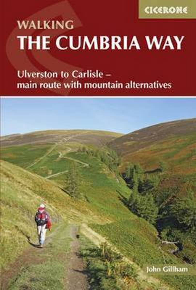
- The Cumbria Way
- A guidebook to the Cumbria Way, a 73-mile long distance path through the heart of the English Lake District from Ulverston to Carlisle. The route is largely low-level, and accessible to new trekkers, but this guide offers alternative mountain days to climb some of the famous fells en route. The guide divides the route into 5 stages of between... Read more
- Also available from:
- Bol.com, Belgium
Bol.com
Belgium
2015
Belgium
2015
- The Cumbria Way
- A guidebook to the Cumbria Way, a 73-mile long distance path through the heart of the English Lake District from Ulverston to Carlisle. The route is largely low-level, and accessible to new trekkers, but this guide offers alternative mountain days to climb some of the famous fells en route. The guide divides the route into 5 stages of between... Read more
Bol.com
Netherlands
Netherlands
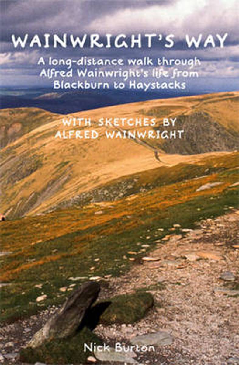
- Wainwrights Way
- Wainwright's Way is a journey on foot through Wainwright's life from Lancashire to the Lakes. This walking guide charts a 126-mile long-distance route linking the place where Wainwright was born - a Victorian terraced house in Audley Range, Blackburn - with his final resting place on Haystacks, his heavenly corner of Lakeland. Along the way,... Read more
- Also available from:
- Bol.com, Belgium
Bol.com
Belgium
Belgium
- Wainwrights Way
- Wainwright's Way is a journey on foot through Wainwright's life from Lancashire to the Lakes. This walking guide charts a 126-mile long-distance route linking the place where Wainwright was born - a Victorian terraced house in Audley Range, Blackburn - with his final resting place on Haystacks, his heavenly corner of Lakeland. Along the way,... Read more
Bol.com
Netherlands
Netherlands
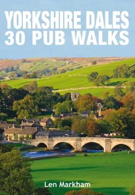
- Yorkshire Dales 30 Pub Walks
- The 30 circular walks in this book vary in length from 2 to 8 miles and encompass the best of the Yorkshire Dales; with its green valleys, hills, moorland and woodland, all intersected by a labyrinth of footpaths and trails to suit all ages and every level of fitness. Each walk showcases some of the finest landscape in the region, and all come... Read more
- Also available from:
- Bol.com, Belgium
- The Book Depository, United Kingdom
Bol.com
Belgium
Belgium
- Yorkshire Dales 30 Pub Walks
- The 30 circular walks in this book vary in length from 2 to 8 miles and encompass the best of the Yorkshire Dales; with its green valleys, hills, moorland and woodland, all intersected by a labyrinth of footpaths and trails to suit all ages and every level of fitness. Each walk showcases some of the finest landscape in the region, and all come... Read more

The Book Depository
United Kingdom
United Kingdom
- Yorkshire Dales 30 Pub Walks
- The 30 circular walks in this book vary in length from 2 to 8 miles and encompass the best of the Yorkshire Dales; with its green valleys, hills, moorland and woodland, all intersected by a labyrinth of footpaths and trails to suit all ages and every level of fitness. Each walk showcases some of the finest landscape in the region, and all come... Read more
Bol.com
Netherlands
Netherlands
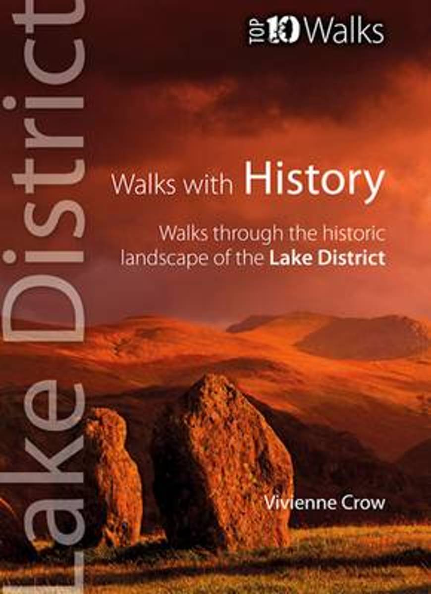
- Walks with History
- This attractive and cleverly structured guide gives walkers ten of the finest walks through the historic landscapes of the Lake District National Park in a popular pocketable format. With clear information, an overview and introduction for each walk, expertly written numbered directions, large scale Ordnance Survey maps, superb, eye-grabbing... Read more
- Also available from:
- Bol.com, Belgium
- The Book Depository, United Kingdom
Bol.com
Belgium
Belgium
- Walks with History
- This attractive and cleverly structured guide gives walkers ten of the finest walks through the historic landscapes of the Lake District National Park in a popular pocketable format. With clear information, an overview and introduction for each walk, expertly written numbered directions, large scale Ordnance Survey maps, superb, eye-grabbing... Read more

The Book Depository
United Kingdom
United Kingdom
- Walks with History
- Walks Through the Historic Landscape of the Lake District Read more
Bol.com
Netherlands
Netherlands
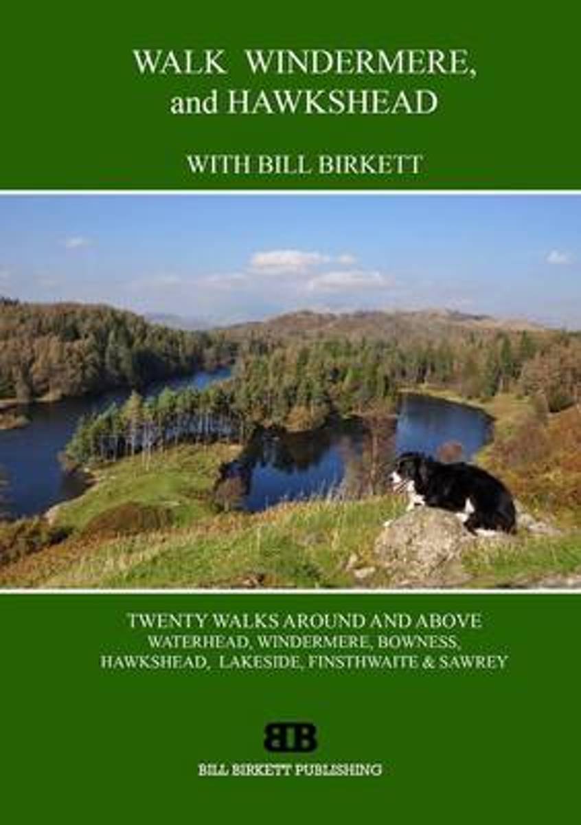
- Walk Windermere and Hawkshead
- Walk Windermere and Hawkshead is a practical walking guidebook to twenty walks in the Lake District around and above Waterhead, Windermere, Bowness, Hawkshead, Lakeside, Finsthwaite and Sawrey. Including all the classic high tops, the low fells and easy valley walks around lake, wood, waterfall and tarn, each walk is presented on a double page... Read more
- Also available from:
- Bol.com, Belgium
- The Book Depository, United Kingdom
Bol.com
Belgium
Belgium
- Walk Windermere and Hawkshead
- Walk Windermere and Hawkshead is a practical walking guidebook to twenty walks in the Lake District around and above Waterhead, Windermere, Bowness, Hawkshead, Lakeside, Finsthwaite and Sawrey. Including all the classic high tops, the low fells and easy valley walks around lake, wood, waterfall and tarn, each walk is presented on a double page... Read more

Bol.com
Netherlands
Netherlands
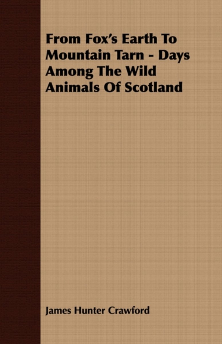
- From Fox's Earth To Mountain Tarn - Days Among The Wild Animals Of Scotland
- Many of the earliest books, particularly those dating back to the 1900s and before, are now extremely scarce and increasingly expensive. We are republishing these classic works in affordable, high quality, modern editions, using the original text and artwork. Read more
- Also available from:
- Bol.com, Belgium
Bol.com
Belgium
Belgium
- From Fox's Earth To Mountain Tarn - Days Among The Wild Animals Of Scotland
- Many of the earliest books, particularly those dating back to the 1900s and before, are now extremely scarce and increasingly expensive. We are republishing these classic works in affordable, high quality, modern editions, using the original text and artwork. Read more
Kaarten
De Zwerver
Netherlands
2024
Netherlands
2024

Stanfords
United Kingdom
United Kingdom
- Wensleydale and Upper Wharfedale 1852-1865
- Map No. 98, Wensleydale and Upper Wharfedale 1852-1865, in the Cassini Historical Series of old Ordnance Survey mapping of England and Wales at 1:50,000 in a format designed to offer a convenient comparison with the present day coverage from the OS, and most locations in three different editions. Old historical maps have been combined so that... Read more

Stanfords
United Kingdom
United Kingdom
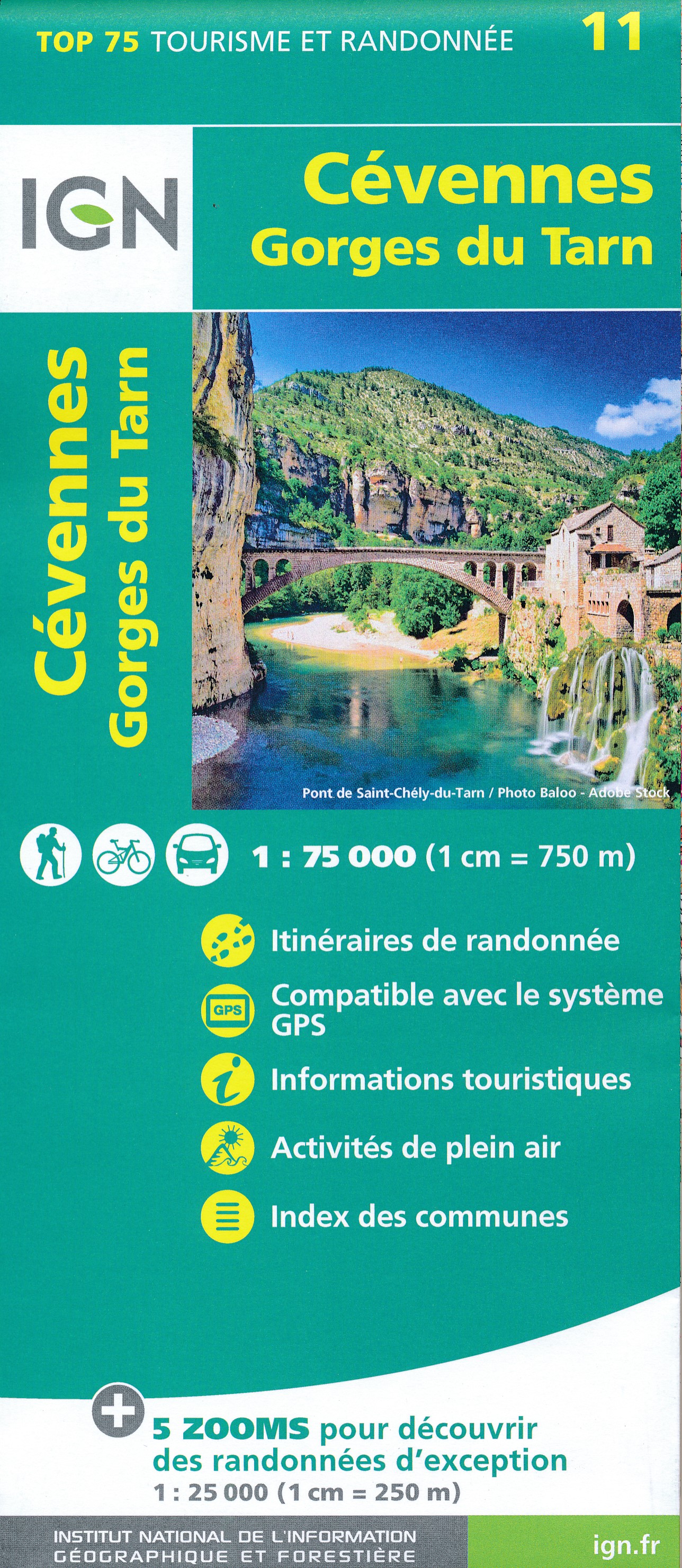
- Cévennes - Gorges du Tarn IGN 75011
- Cévennes - Gorges du Tarn region in a series of GPS compatible, contoured TOP75 maps at 1:75,000 from the IGN, highlighting local and long-distance hiking paths, cycling routes and sites for other recreational activities. The map includes five large panels showing the areas around Trèves Col du Minier, Vialas, Gorges du Tarn, and Col de... Read more

Stanfords
United Kingdom
United Kingdom
- Cabo Froward
- Cabo Froward at 1:100,000 in a series of contoured, GPS compatible trekking and exploration maps at various scales form Trekkingchile. The map covers the south-eastern tip of the Brunswick Peninsula, from approx 45km south of Punta Arenas to Cape Froward. Contour interval is 50m, with colouring showing woodlands, shrubbery and pastures, swamps,... Read more
Stanfords
United Kingdom
United Kingdom
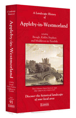
- Appleby-in-Westmorland 1860-1866
- Map No. 91, Appleby-in-Westmorland 1860-1866, in the Cassini Historical Series of old Ordnance Survey mapping of England and Wales at 1:50,000 in a format designed to offer a convenient comparison with the present day coverage from the OS, and most locations in three different editions. Old historical maps have been combined so that the sheet... Read more

Stanfords
United Kingdom
United Kingdom
- Wensleydale and Upper Wharfedale 1924-1925
- Map No. 98, Wensleydale and Upper Wharfedale 1924-1925, in the Cassini Historical Series of old Ordnance Survey mapping of England and Wales at 1:50,000 in a format designed to offer a convenient comparison with the present day coverage from the OS, and most locations in three different editions. Old historical maps have been combined so that... Read more
Stanfords
United Kingdom
United Kingdom
- Appleby-in-Westmorland 1925
- Map No. 91, Appleby-in-Westmorland 1925, in the Cassini Historical Series of old Ordnance Survey mapping of England and Wales at 1:50,000 in a format designed to offer a convenient comparison with the present day coverage from the OS, and most locations in three different editions. Old historical maps have been combined so that the sheet lines... Read more

Stanfords
United Kingdom
United Kingdom
- Wensleydale and Upper Wharfedale 1903-1904
- Map No. 98, Wensleydale and Upper Wharfedale 1903-1904, in the Cassini Historical Series of old Ordnance Survey mapping of England and Wales at 1:50,000 in a format designed to offer a convenient comparison with the present day coverage from the OS, and most locations in three different editions. Old historical maps have been combined so that... Read more
Stanfords
United Kingdom
United Kingdom
- Appleby-in-Westmorland 1903-1904
- Map No. 91, Appleby-in-Westmorland 1903-1904, in the Cassini Historical Series of old Ordnance Survey mapping of England and Wales at 1:50,000 in a format designed to offer a convenient comparison with the present day coverage from the OS, and most locations in three different editions. Old historical maps have been combined so that the sheet... Read more
Stanfords
United Kingdom
United Kingdom
- Appleby-in-Westmorland 1860-1925 (3-map set)
- Map No. 91, Appleby-in-Westmorland 1860-1925 (3-map set), in the Cassini Historical Series of old Ordnance Survey mapping of England and Wales at 1:50,000 in a format designed to offer a convenient comparison with the present day coverage from the OS, and most locations in three different editions. Old historical maps have been combined so that... Read more