
Zwarte Woud
Beschrijving

The Black Forest, or Schwarzwald, is named after the huge firs that cover vast contiguous areas. If you don't like pine, then the Black Forest might not be the best destination for you. The west of Germany's most impressive mountain range – next to the Alps - is the most forested. Here you will find the highest tops and the best views. Highest mountain is the Feldberg, 1493m. The Westweg links the best parts together.
To the east, the terrain become flatter, and there is more alternation with farmland. The Ostweg introduces you to this lesser known part of the Black Forest. Here you will walk closer to the Danube than to the Rhine, and the views extend to the Swabian Jura.
Above we already mentioned two of the most famous hiking trails: the Westweg, founded in 1900, and the Ostweg. In between is the Mittelweg. All three long distance paths start in Pforzheim and fan southward to finish at river Rhine near the Swiss border.
There are also about 20 other fantastic long distance footpaths. These follow beautiful valleys, have certain themes, or cross the mountains from west to east. The best place to start your search for information is the website of the Schwarzwaldvereins.
Day hikers will be happy too. Everywhere they will find well documented and marked hiking trails.
Tourism – including walking tourism - has a long history in the Black Forest. Hotels and Gasthäuser have been in existence for often more than a century, handed over from one generation to the next. In every village and on every mountain you'll find something, usually opan all year. There are also some 30 Wanderheime, uncostly and pleasant accommodations.
Paden in deze regio
- Breisgauer WeinwegGPX
- E1GPX
- E8GPX
- GäurandwegGPX
- Gernsbacher RundeGPX
- Hansjakobweg I (Kleiner Hansjakobweg)GPX
- Hansjakobweg II (Großer Hansjakobweg)GPX
- Hochrhein HöhenwegGPX
- Hotzenwald QuerwegGPX
- Jakobsweg Breisach - Cluny
- Jakobsweg Waldshut-Vézelay
- Kandel HöhenwegGPX
- Main-Neckar-RheinwegGPX
- Markgräfler Wiwegli
- MittelwegGPX
- MurgleiterGPX
- Ortenauer WeinpfadGPX
- OstwegGPX
- Panoramaweg Baden-BadenGPX
- Querweg Freiburg-BodenseeGPX
- Querweg Gengenbach-Alpirsbach
- Querweg Lahr-RottweilGPX
- Querweg Schwarzwald-Kaiserstuhl-RheinGPX
- RenchtalsteigGPX
- RheinauenwegGPX
- SchluchtensteigGPX
- Schwarzwald Nordrand WegGPX
- Schwarzwald-Jura-Bodensee-WegGPX
- Schwarzwald-Schwäbische Alb-Allgäu-WegGPX
- WestwegGPX
- ZweitälersteigGPX
Links
Feiten
Verslagen
Gidsen en kaarten
Overnachting
Organisaties
Reisorganisaties
GPS
Anders
Boeken
Netherlands
2023

Netherlands
2021
- Wandelgids Rund um Freiburg | Rother Bergverlag
- Zwischen Kaiserstuhl und Hochschwarzwald. 60 Touren. Mit GPS-Daten Rother Wanderbuch. 2., aktualisierte Auflage. Read more

Netherlands
2024
Netherlands
2022
Netherlands
2012
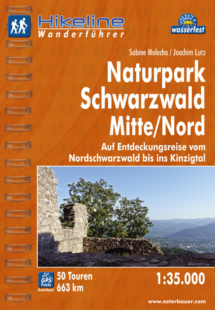
- Wandelgids Hikeline Wandelgids Naturpark Schwarzwald Mitte | Esterbauer
- Handzame gids met een goede beschrijving van een groot aantal dagtochten in dit gebied. De gids is in spiraalbinding en elke pagina is op scheur- en watervast papier gedrukt. Daar is echt over nagedacht! Neben den Wäldern zeichnen den Schwarzwald seine offenen Flächen, seine Wiesen und Weiden aus. So abwechslungsreich wie die Landschaft sind... Read more

Netherlands
2017
- Wandelgids 411 Kautokeino - Nordkap E1 | Conrad Stein Verlag
- Handzaam boekje met de routebeschrijving inclusief een heleboel praktische informatie. De beschrijving is uitstekend, maar kaarten zijn wat beperkt. Duits. Die 330 km lange Wanderung auf dem E1 von Kautokeino zum Nordkap ist ein unvergessliches Wanderabenteuer. In 15 Etappen laufen Sie durch die Wildnis Nordnorwegens und überqueren die... Read more
Netherlands
2021
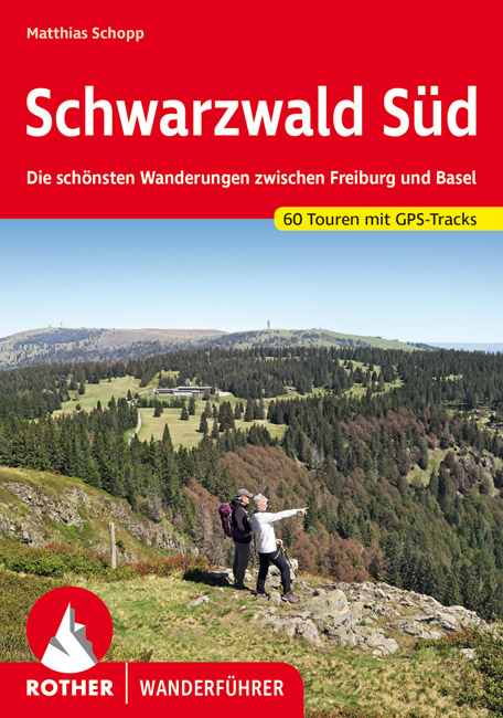
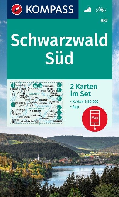
- Wandelgids Schwarzwald Süd Mitte - Zwarte Woud | Rother Bergverlag
- De Rother wandelgidsen beschrijven zeer goed de wandelingen in specifieke gebieden. In de gids vindt men kaarten, routebeschrijvingen en de nodige praktische informatie om van de wandelingen/trekkings een geslaagde onderneming te maken. Zahlreiche schöne Fern- und Weitwanderwege verlaufen in Deutschlands höchstem Mittelgebirge, dem Schwarzwald.... Read more

Netherlands
2023
Kaarten
Netherlands
2024
- Also available from:
- Stanfords, United Kingdom

United Kingdom
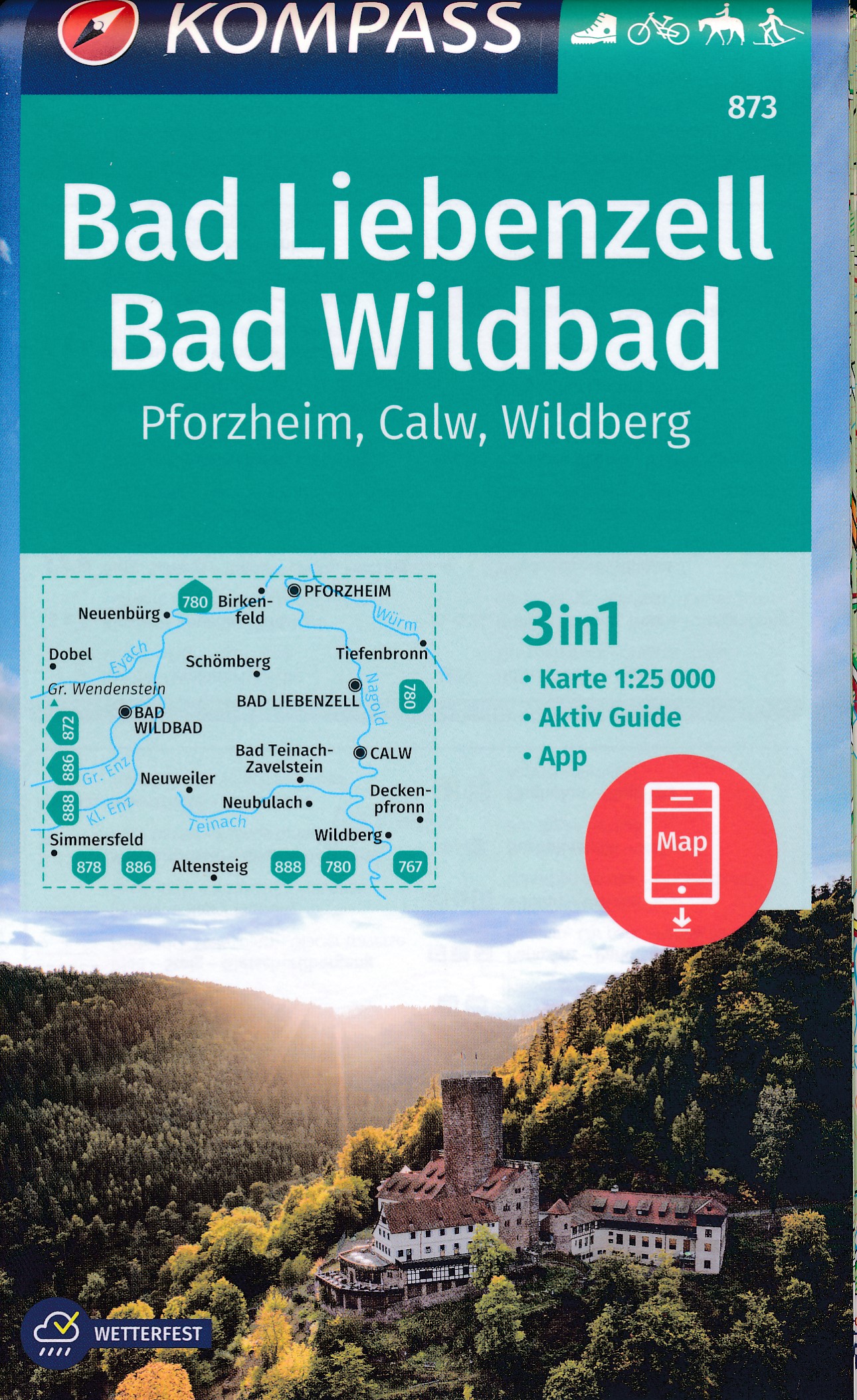
- Bad Liebenzell - Bad Wildbad - Pforzheim - Calw - Wildberg Kompass 873
- Bad Liebenzell - Wildbad area of northern Black Forest on a detailed, GPS compatible map at 1:25,000 from Kompass with local and long-distance footpaths, cycling routes, accommodation, etc, printed on durable, waterproof and tear-resistant synthetic paper.KOMPASS HIKING & RECREATIONAL MAPS: this title is part of an extensive series covering... Read more

Netherlands
- Wandelkaart 4 Stara Planina gebergte | Domino
- Stara Planina Western: Berkovita to Zlatitsa map at 1:50,000 from Bulgarian publishers Domino, contoured and GPS compatible, with hiking trails, accommodation options including a list of local mountain refuges, etc. The map is double-sided and covers the mountains from Varshets (directly north of Sofia) to just beyond Etrepole.Maps in the... Read more
- Also available from:
- Stanfords, United Kingdom

United Kingdom
- Stara Planina Western: Berkovita to Zlatitsa Domino Map
- Stara Planina Western: Berkovita to Zlatitsa map at 1:50,000 from Bulgarian publishers Domino, contoured and GPS compatible, with hiking trails, accommodation options including a list of local mountain refuges, etc. The map is double-sided and covers the mountains from Varshets (directly north of Sofia) to just beyond Etrepole.Maps in the... Read more

Netherlands
- Wandelkaart Sredna Gora - Bulgarije | Domino
- Pirin Mountains at 1:50,000 on a large, double-sided, contoured map with GPS waypoints for shelters and chalets, peaks, etc. and highlighting hiking routes. Topography is shown by contours at 40m intervals with additional relief shading and graphics and colouring for sandstone stacks, single rocks over 5m high, marshlands and different types of... Read more
Netherlands

Netherlands
- Wandelkaart 05 Outdoorkarte FR Elsass - Colmar - Sélestat - Elzas | Kümmerly & Frey
- The central part of Alsace around Colmar and Sélestat on a GPS compatible, double-sided map at 1:50,000 from Kümmerly+Frey printed on sturdy, waterproof and tear-resistant synthetic paper; contoured, with hiking and cycling routes, sites for other recreational activities, various accommodation options, restaurants and ferme-auberge locations,... Read more
- Also available from:
- Stanfords, United Kingdom

United Kingdom
- Alsace - Colmar - Sélestat - Freiburg im Breisgau - Lahr K+F Outdoor Map 5
- The central part of Alsace around Colmar and Sélestat on a GPS compatible, double-sided map at 1:50,000 from Kümmerly+Frey printed on sturdy, waterproof and tear-resistant synthetic paper; contoured, with hiking and cycling routes, sites for other recreational activities, various accommodation options, restaurants and ferme-auberge locations,... Read more
- Also available from:
- Stanfords, United Kingdom
United Kingdom
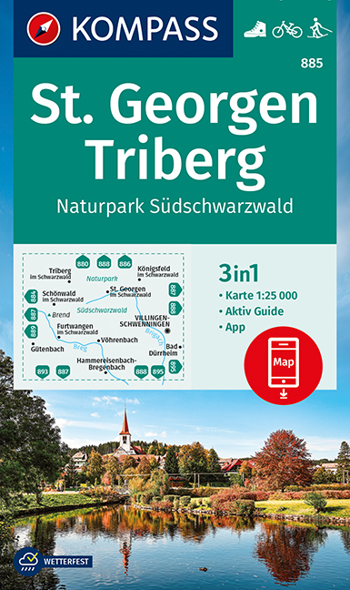
- St. Georgen - Triberg - South Black Forest NP Kompass 885
- St. Georgen - Triberg area of southern Black Forest on a detailed, GPS compatible map at 1:25,000 from Kompass with local and long-distance footpaths, cycling routes, accommodation, etc, printed on durable, waterproof and tear-resistant synthetic paper.KOMPASS HIKING & RECREATIONAL MAPS: this title is part of an extensive series covering... Read more

Netherlands
- Wandelkaart 07 Outdoorkarte FR Elsass, Vogesen - Alsace, Strasbourg Elzas - Vogezen | Kümmerly & Frey
- The central part of Alsace around Strasbourg and Saverne on a GPS compatible, double-sided map at 1:50,000 from K Read more
- Also available from:
- Stanfords, United Kingdom

United Kingdom
- Alsace - Strasbourg - Saverne - Barr - Offenburg K+F Outdoor Map 7
- The central part of Alsace around Strasbourg and Saverne on a GPS compatible, double-sided map at 1:50,000 from Kümmerly+Frey printed on sturdy, waterproof and tear-resistant synthetic paper; contoured, with hiking and cycling routes, sites for other recreational activities, various accommodation options, restaurants and ferme-auberge... Read more

Netherlands
- Wandelkaart 5 Rila gebergte | Domino
- Rila Mountains at 1:50,000 on a large, double-sided, contoured map with GPS waypoints for shelters and chalets, peaks, etc. and highlighting hiking routes. Topography is shown by contours at 50m intervals with additional relief shading and graphics and colouring for scree, single rocks over 5m high, marshlands and pine scrub and forests. An... Read more
- Also available from:
- Stanfords, United Kingdom

United Kingdom
- Rila Mountains Domino
- Rila Mountains at 1:50,000 on a large, double-sided, contoured map with GPS waypoints for shelters and chalets, peaks, etc. and highlighting hiking routes. Topography is shown by contours at 50m intervals with additional relief shading and graphics and colouring for scree, single rocks over 5m high, marshlands and pine scrub and forests. An... Read more
- Also available from:
- Stanfords, United Kingdom
United Kingdom
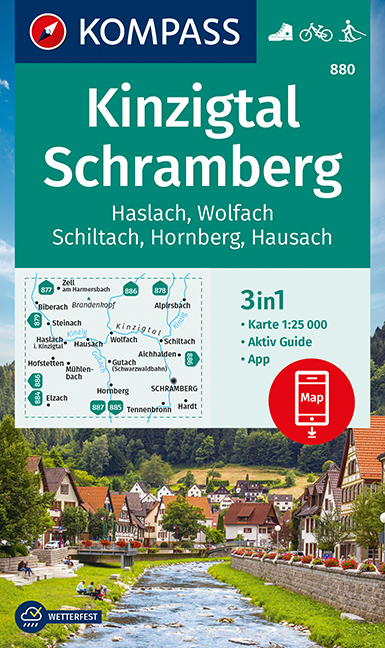
- Kinzigtal - Schramberg - Haslach - Wolfach - Schiltach - Hornberg Kompass 880
- Kinzigtal - Schramberg - Haslach - Wolfach - Schiltach - Hornberg area of central Black Forest on a detailed, GPS compatible map at 1:25,000 from Kompass with local and long-distance footpaths, cycling routes, accommodation, etc, printed on durable, waterproof and tear-resistant synthetic paper.KOMPASS HIKING & RECREATIONAL MAPS: this title is... Read more
Netherlands
Netherlands
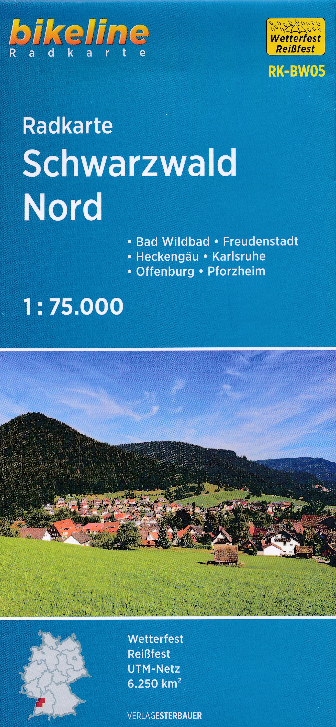
- Fietskaart BW05 Bikeline Radkarte Schwarzwald Nord | Esterbauer
- Bikeline Radkarte Schwarzwald Nord 1 : 75 000 ab 6.9 EURO Bad Wildbad - Karlsruhe - Nagold - Pforzheim - Heckengäu - Oberrhein. Wetterfest, reißfest Bikeline Radkarte. 1. Auflage Read more

Netherlands
- Wegenkaart - landkaart 03 Baden-Württemberg | Freytag & Berndt
- Deutschland 03 Baden-Württemberg 1 : 200 000 ab 10.9 EURO Touristische Informationen, Ortsverzeichnis, Entfernungen in km. GPS tauglich Freytag & Berndt Autokarte Deutschland Freytag & Berndt Freizeitkarte. Neuauflage Read more