
Hornstrandir
Beschrijving

Hornstrandir is the northwestern peninsula. No people are living here any more. The area is declared a nature reserve. What you will get: deep sea inlets, birds, plants, immense cliffs with bird colonies. Near Hornvík is a large cliff with a busy bird colony.
Take a ferry, a tent, and have yourself dropped at Hornvik or another place. There are several hiking trails. Bring your tent and a good map.
Links
Feiten
Verslagen
Gidsen en kaarten
Overnachting
Organisaties
Reisorganisaties
GPS
Anders
Kaarten
De Zwerver
Netherlands
Netherlands
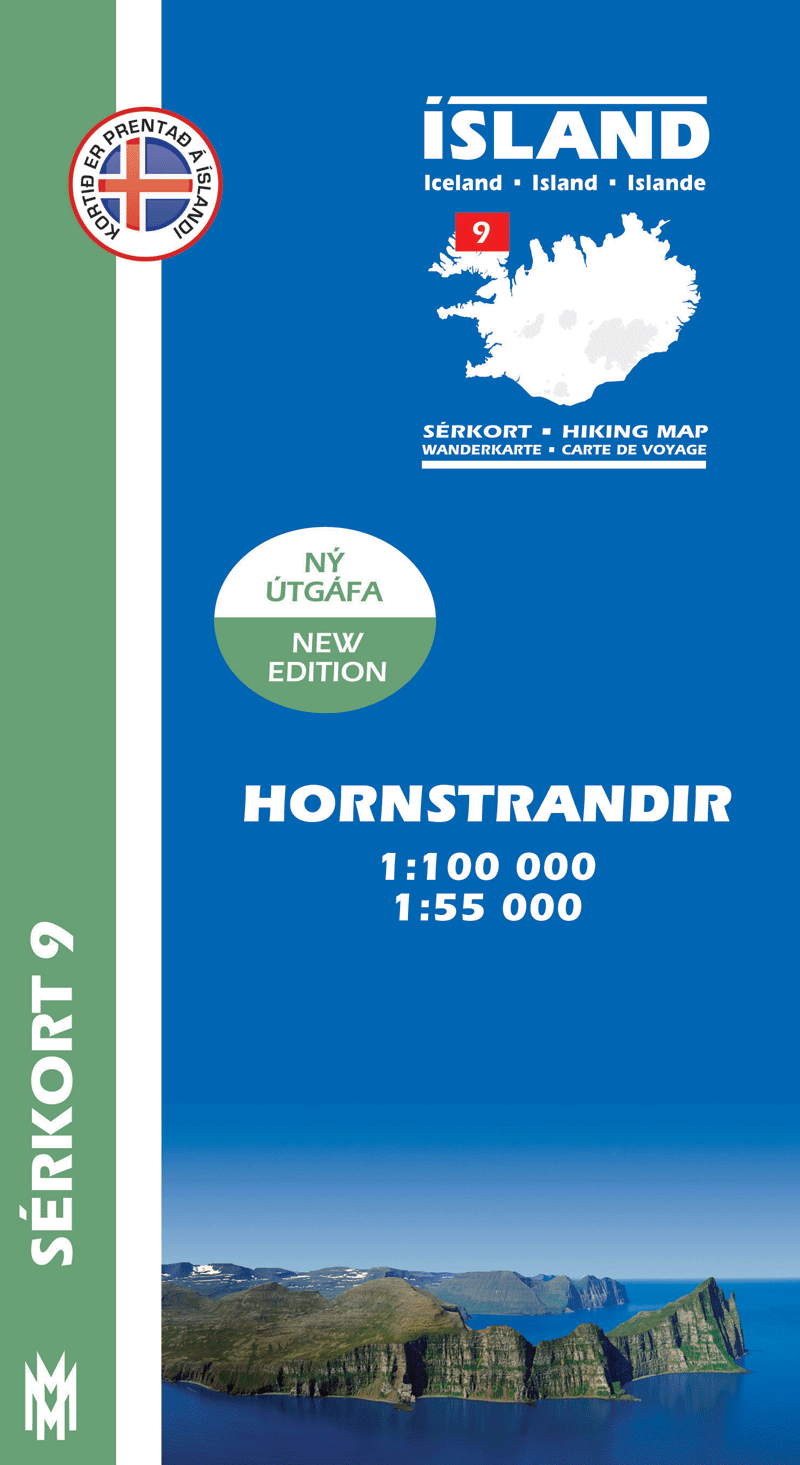
- Wandelkaart 09 Serkort Hornstrandir - IJsland | Mal og Menning
- Hornstrandir area of Iceland at 1:100,000 in a series of detailed hiking and recreational topographic maps from M Read more
- Also available from:
- Stanfords, United Kingdom

Stanfords
United Kingdom
United Kingdom
- Hornstrandir
- Hornstrandir area of Iceland at 1:100,000 in a series of detailed hiking and recreational topographic maps from Mál og menning - the country`s leading cartographic publishers, with beautiful drawings of local birds and tourist information. An enlargement shows the northern part of the peninsula in greater detail at 1:50,000.The maps in this... Read more
Stanfords
United Kingdom
United Kingdom
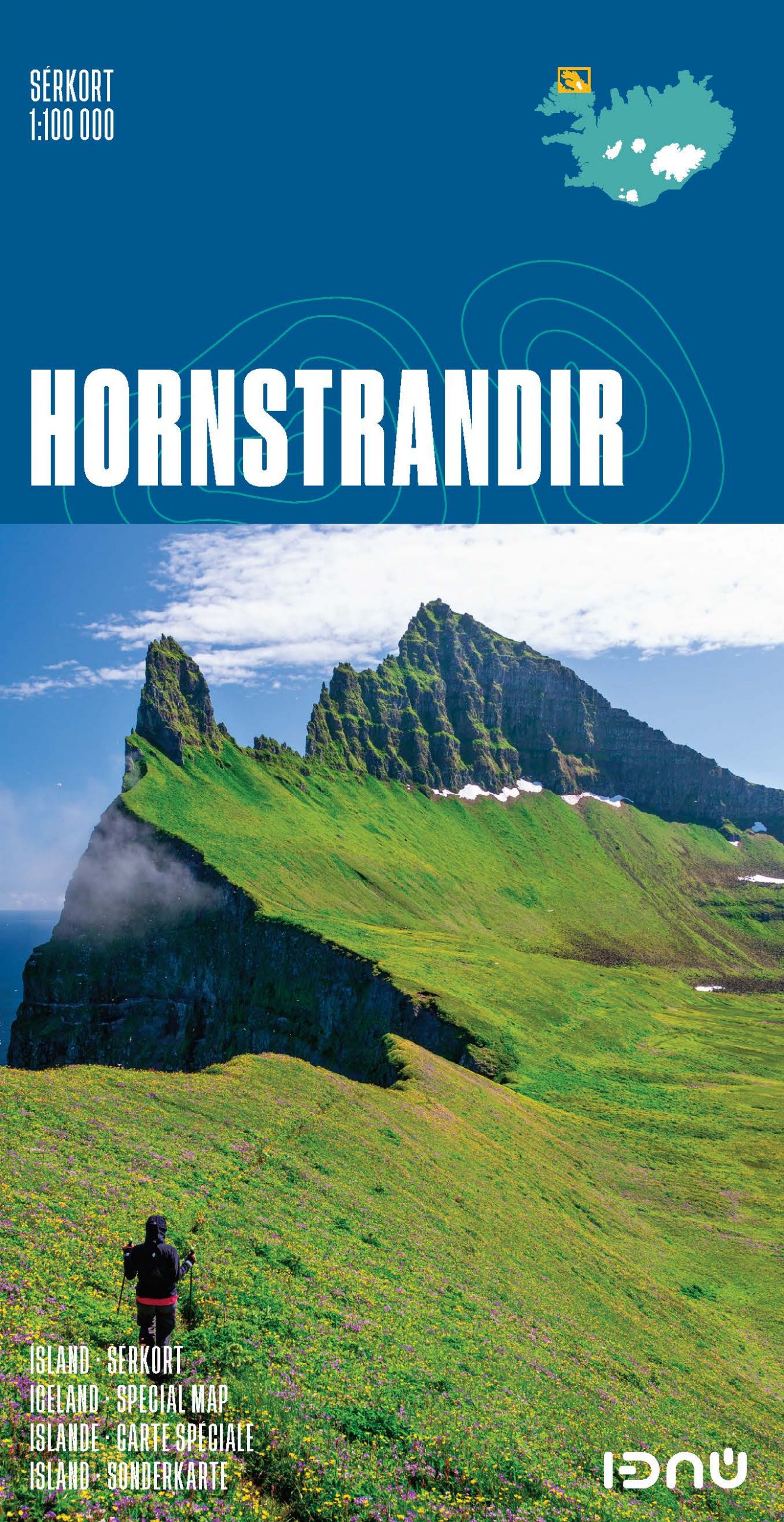
- Hornstrandir SUPERCEDED
- Hornstrandir area at 1:100,000 in a series of special detailed hiking and touring maps, based on the Icelandic topographic survey, covering the most visited parts of the country. Contours at 20m intervals and bright colouring show different types of vegetation and terrain. Local footpaths indicate sections with waymarking and coastal routes... Read more
Stanfords
United Kingdom
United Kingdom
- Hornstrandir IDNU Map
- Hornstrandir area at 1:100,000 in a series of special detailed hiking and touring maps, based on the Icelandic topographic survey, covering the most visited parts of the country. Contours at 20m intervals and bright colouring show different types of vegetation and terrain. Local footpaths indicate sections with waymarking and coastal routes... Read more