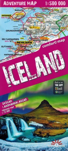
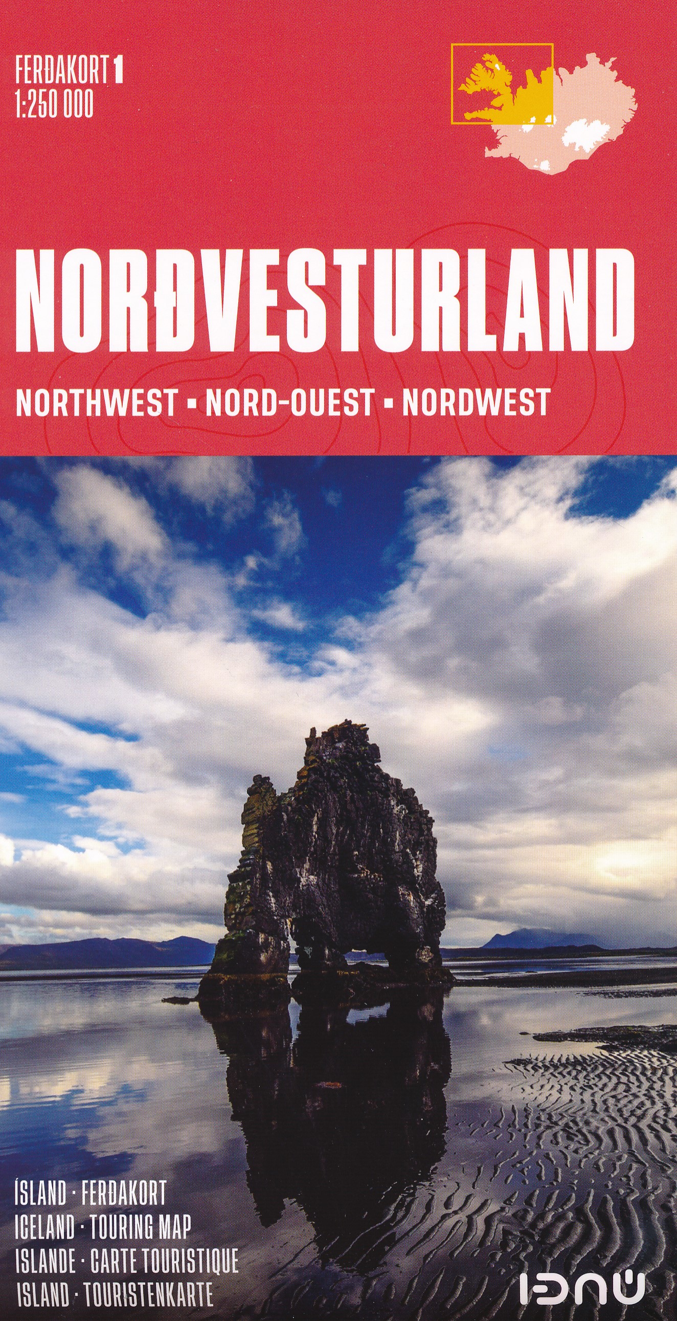
IJsland
Beschrijving
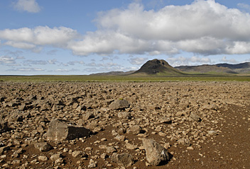
This rugged North Atlantic island offers great hiking through surprising nature. Vast lava fields spread out next to massive glaciers. Hot streams emerge from boiling springs. Giant waterfalls come roaring down and of course the famous geysers blow hot steam high into the air at regular intervals. For any hiker who loves wide expanses of clear empty sky, phenomenal views and remoteness. Everything in this country is bigger, larger, more colourful, and wetter. Iceland is paradise.
The volcanic most active part of the island is a band running from the south west to the north east.
There are numerous hiking trails in different parts of Iceland, but not all are clearly waymarked. Given frequent fog and the remoteness of Icelandic nature in general, it is necessary that you always know how to use map and compass. Don’t believe people who argue that a compass will be impaired by the local magnetism: not true. A GPS receiver, and plenty of spare batteries, comes in handy too. The most popular routes pass mountain huts at a day’s hike distance. Make reservations in advance. Always bring your own sleeping bag and food.
The most popular routes are:
- Laugavegur, between active volcanos, glaciers and colourful mountains;
- Kjalvegur, a trading route in the remote interior.
Also think of these good hiking area’s
- Þingvellir, the historic lake and pleasant surroundings;
- Mývatn, a beloved lake in the north;
- The eastern fjords;
- The giant glacier Vatnajökull, with many trails around it;
- The very very lonely north coast;
- Jökulsá á Fjöllum river, with its immense waterfalls and spectacular canyons;
- Hornstrandir, the fjord like north western peninsula.
Although Iceland is not as cold a place as it sounds, hikers must be prepared for frequent and sudden weather changes and fog during all seasons. Also you may have to wade across rivers, and this can be dangerous. The summer months (mid June to mid September) are best for hiking. Prepare well.
Paden
Regios
Links
Feiten
Verslagen
Gidsen en kaarten
Overnachting
Organisaties
Reisorganisaties
GPS
Anders
Boeken
Netherlands
2018
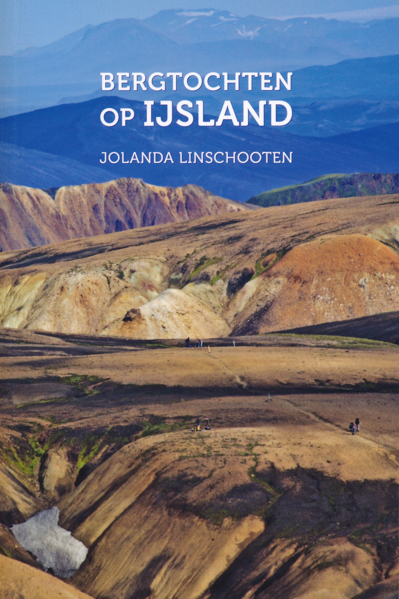
- Wandelgids Bergtochten op IJsland | Jolanda Linschooten
- IJsland is een land vol uitersten. Besneeuwde bergen en immense gletsjers naast kokende modderpoelen en nog na gloeiende lavastromen. Met zijn overdaad aan natuur leent IJsland zich er bij uitstek voor om langzaam, te voet, verkend te worden. In dit boek staan 31 bergwandeltochten, zowel dag- als meerdaagse tochten, in totaal 57 dagen... Read more
Netherlands
2019
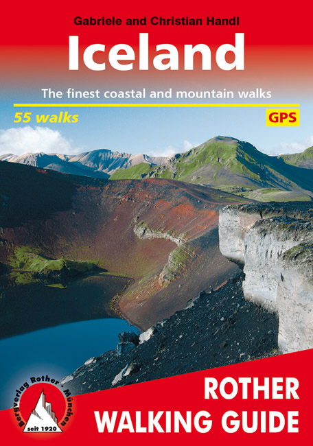
- Wandelgids Iceland - Ijsland | Rother Bergverlag
- The Rother Walking Guide to Iceland leads the reader along 49 selected, safe and reliably-described trails to the natural splendours of Iceland which are only accessible to hikers. In the introductory chapters, as well as in the presentation of the regions, the authors prepare the hiker in a safe and knowledgeable manner for the distinctive... Read more
- Also available from:
- Stanfords, United Kingdom

United Kingdom
2014
- Iceland Rother Guide
- The Rother Walking Guide to Iceland leads the reader along 49 selected, safe and reliably-described trails to the natural splendours of Iceland which are only accessible to hikers. In the introductory chapters, as well as in the presentation of the regions, the authors prepare the hiker in a safe and knowledgeable manner for the distinctive... Read more
Netherlands
2014
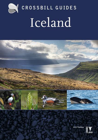
- Natuurgids - Reisgids Crossbill Guides Iceland - IJsland | KNNV Uitgeverij
- IJsland is beroemd om zijn indrukwekkende landschappen, unieke geologie en rijk vogelleven. Er zijn weinig plekken ter wereld waar het vulkanisme zo'n veelvoud landschappen heeft voortgebracht, en waar zulke enorme aantallen vogels gemakkelijk te zien en te fotograferen zijn Deze nieuwe Crossbill Guide beschrijft de IJslandse natuur in al zijn... Read more
Netherlands
2024
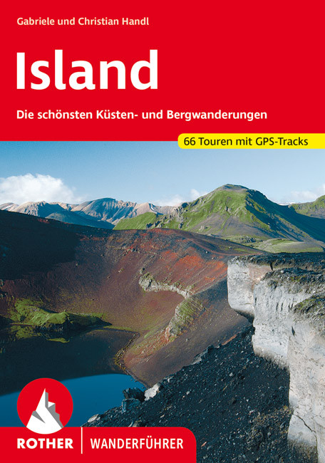
- Wandelgids Island - Ijsland | Rother Bergverlag
- Wandelgids : vele dagtochten worden degelijk beschreven met openbaar vervoer informatie, goede routebeschrijvingen en beperkt kaartmateriaal. Island, die Insel aus Feuer und Eis, übt einen magischen Reiz auf jeden Naturliebhaber aus. Aktive Vulkane und weite Lavawüsten bilden einen Kontrast zu schier unendlichen Gletschern. Gewaltige... Read more
Netherlands
2015
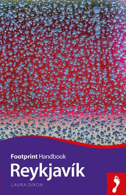
- Reisgids Focus Reykjavík | Footprint
- Handig gidsje op zakformaat van Reykjavík. Footprint focus is een engelstalige praktische reisgids voor alle leeftijden, boordevol informatie over accommodatie van middenklasse tot luxe en plaatsbeschrijvingen. Kenmerk: brede culturele en achtergrondinformatie, bondig geschreven. The northernmost capital city in the world, Reykjavík is also one... Read more
Kaarten
Netherlands
2016
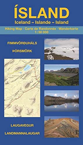
- Wandelgids - Wandelkaart Island - Iceland - IJsland: | Uwe Grunewald
- Wandelkaart in boekvorm van de bekende en spectaculaire wandeltocht van Landmannaulaugar naar Skogar, met ook dagwandelinge ingetekend op de begeleidende kaart. Die Wanderungen entlang des Laugavegur und über den Fimmvörðuháls gehören nicht nur zu den beliebtesten Trekkingtouren Islands, sondern zählen zu den schönsten Mehrtageswanderungen... Read more
Netherlands
2019
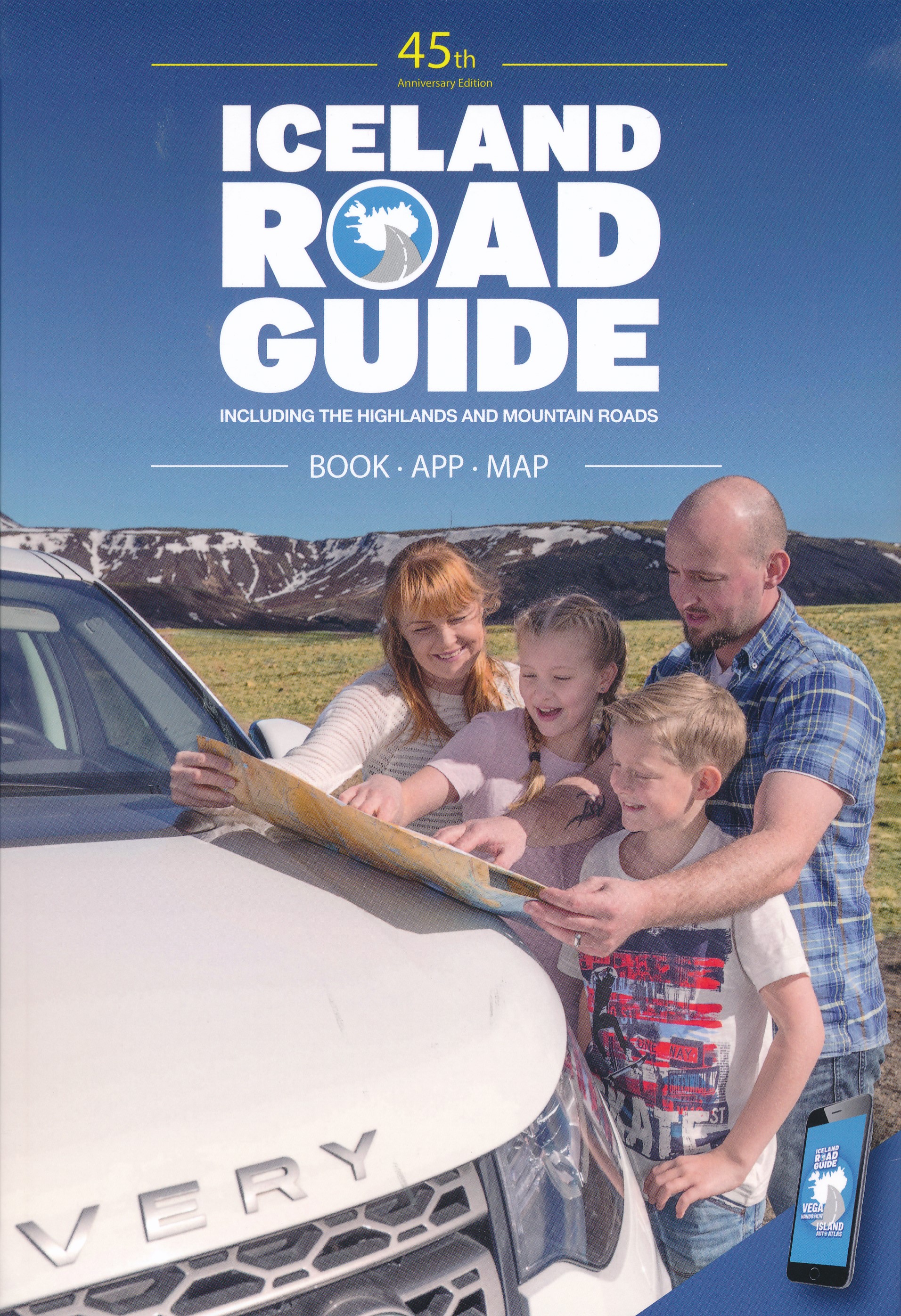
- Reisgids Iceland Road Guide | Vegahandbokin
- Iceland Road Guide from Vegahandbókin, an exceptionally comprehensive, 605-page guide with region-by-region descriptions of sites accompanied by road maps and street plans, plus a separate road atlas section covering the whole country at 1:500,000 and information on a wide variety of tourism relating topics to help the user get the best of... Read more
- Also available from:
- Stanfords, United Kingdom

United Kingdom
2019
- Iceland Road Guide
- Iceland Road Guide from Vegahandbókin, an exceptionally comprehensive, 605-page guide with region-by-region descriptions of sites accompanied by road maps and street plans, plus a separate road atlas section covering the whole country at 1:500,000 and information on a wide variety of tourism relating topics to help the user get the best of... Read more
Netherlands
- Wandelkaart - Topografische kaart 67 Atlaskort Langisjor | Ferdakort
- Deze kaarten zijn niet direkt op voorraad. De levertijd is echter normaal gesproken slechts enkele dagen. Niet alle kaarten van deze serie zijn op dit moment beschikbaar. De kaarten die u niet kunt vinden vanuit het overzicht zijn niet leverbaar. Deze serie topografische kaarten van IJsland zijn goed gedetailleerd. Alle topografische details... Read more

Netherlands
- Wandelkaart - Topografische kaart 47 Atlaskort Skalholt | Ferdakort
- Deze kaarten zijn niet direkt op voorraad. De levertijd is echter normaal gesproken slechts enkele dagen. Niet alle kaarten van deze serie zijn op dit moment beschikbaar. De kaarten die u niet kunt vinden vanuit het overzicht zijn niet leverbaar. Deze serie topografische kaarten van IJsland zijn goed gedetailleerd. Alle topografische details... Read more

Netherlands
- Wandelkaart - Topografische kaart 34 Atlaskort Laxardalur | Ferdakort
- Deze kaarten zijn niet direkt op voorraad. De levertijd is echter normaal gesproken slechts enkele dagen. Niet alle kaarten van deze serie zijn op dit moment beschikbaar. De kaarten die u niet kunt vinden vanuit het overzicht zijn niet leverbaar. Deze serie topografische kaarten van IJsland zijn goed gedetailleerd. Alle topografische details... Read more

Netherlands
- Wandelkaart - Topografische kaart 101 Atlaskort Langanes | Ferdakort
- Deze kaarten zijn niet direkt op voorraad. De levertijd is echter normaal gesproken slechts enkele dagen. Niet alle kaarten van deze serie zijn op dit moment beschikbaar. De kaarten die u niet kunt vinden vanuit het overzicht zijn niet leverbaar. Deze serie topografische kaarten van IJsland zijn goed gedetailleerd. Alle topografische details... Read more

Netherlands
- Wandelkaart - Topografische kaart 81 Atlaskort Oxarfjordur | Ferdakort
- Deze kaarten zijn niet direkt op voorraad. De levertijd is echter normaal gesproken slechts enkele dagen. Niet alle kaarten van deze serie zijn op dit moment beschikbaar. De kaarten die u niet kunt vinden vanuit het overzicht zijn niet leverbaar. Deze serie topografische kaarten van IJsland zijn goed gedetailleerd. Alle topografische details... Read more
Netherlands
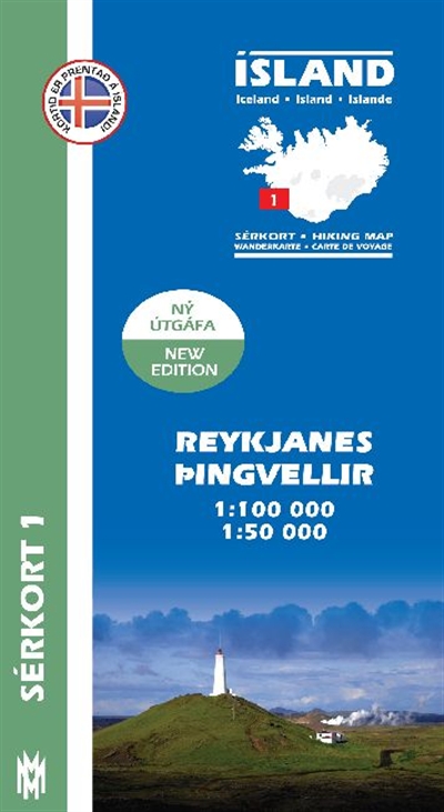
- Wandelkaart 01 Serkort Reykjanes - Þingvellir - IJsland | Mal og Menning
- De wandelkaartenserie van Mal og Menning is bijzonder duidelijk en geschikt voor alle recreatieve doeleinden, ze zijn gebaseerd op de topografische kaarten van IJsland. De kaart laat een gedetailleerd beeld zien van de landschapskenmerken, hoogtelijnen op basis van 20 m. met hoogtepunten apart vermeld. Verschil in kleur en symbolen geven een... Read more
- Also available from:
- Stanfords, United Kingdom

United Kingdom
- Reykjanes - Þingvellir
- Reykjanes - Þingvellir area of Iceland at 1:100,000 in a series of detailed hiking and recreational topographic maps from Mál og menning - the country`s leading cartographic publishers, with beautiful drawings of local birds and tourist information. An enlargement shows the Þingvallavant lake and its surroundings in greater detail at... Read more

Netherlands
- Wandelkaart - Topografische kaart 66 Atlaskort Holtam Afrettur | Ferdakort
- Deze kaarten zijn niet direkt op voorraad. De levertijd is echter normaal gesproken slechts enkele dagen. Niet alle kaarten van deze serie zijn op dit moment beschikbaar. De kaarten die u niet kunt vinden vanuit het overzicht zijn niet leverbaar. Deze serie topografische kaarten van IJsland zijn goed gedetailleerd. Alle topografische details... Read more

Netherlands
- Wandelkaart - Topografische kaart 46 Atlaskort Hlodufell | Ferdakort
- Deze kaarten zijn niet direkt op voorraad. De levertijd is echter normaal gesproken slechts enkele dagen. Niet alle kaarten van deze serie zijn op dit moment beschikbaar. De kaarten die u niet kunt vinden vanuit het overzicht zijn niet leverbaar. Deze serie topografische kaarten van IJsland zijn goed gedetailleerd. Alle topografische details... Read more

Netherlands
- Wandelkaart - Topografische kaart 32 Atlaskort Kuvikur | Ferdakort
- Deze kaarten zijn niet direkt op voorraad. De levertijd is echter normaal gesproken slechts enkele dagen. Niet alle kaarten van deze serie zijn op dit moment beschikbaar. De kaarten die u niet kunt vinden vanuit het overzicht zijn niet leverbaar. Deze serie topografische kaarten van IJsland zijn goed gedetailleerd. Alle topografische details... Read more


