Waterford
Beschrijving

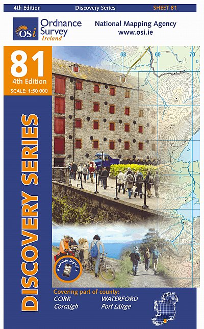
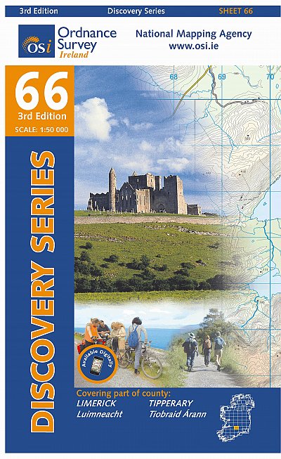
County Waterford has a pleasant landscape of rolling hills and rich with trees. It borders on Ireland’s south coast. It has some hill areas too: the Knockmealdown Mountains and the Comeragh Mountains. The East Munster Way runs from west to east through Waterford.
Paden in deze landsdeel
Links
Feiten
Verslagen
Gidsen en kaarten
Overnachting
Organisaties
Reisorganisaties
GPS
Anders
Boeken
De Zwerver
Netherlands
Netherlands
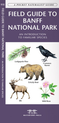
- Vogelgids - Natuurgids Field guide to Banff National Park Wildlife | Waterford Press
- Een bijzonder handige uitklapkaart met alle veelvoorkomende dieren en planten van Banff National Park. Duidelijke illustraties, goede korte omschrijving van soort en leefgebied, geplastificeerd. This fold-up, laminated card features 133 color drawings and short descriptions of commonly encountered wildlife and a map. Laminated for durability,... Read more
De Zwerver
Netherlands
Netherlands
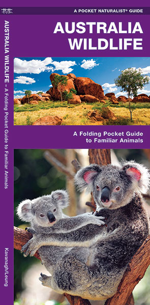
- Vogelgids - Natuurgids Australian Wildlife (Australië) | Waterford Press
- Een bijzonder handige uitklapkaart met alle veelvoorkomende dieren van Australië. Duidelijke illustraties, goede korte omschrijving van soort en leefgebied, geplastificeerd. The Pocket Naturalist series introduces novices to common plants and animals and natural phenomena. Each pocket-sized, folding guide highlights up to 150 species and most... Read more
De Zwerver
Netherlands
1999
Netherlands
1999
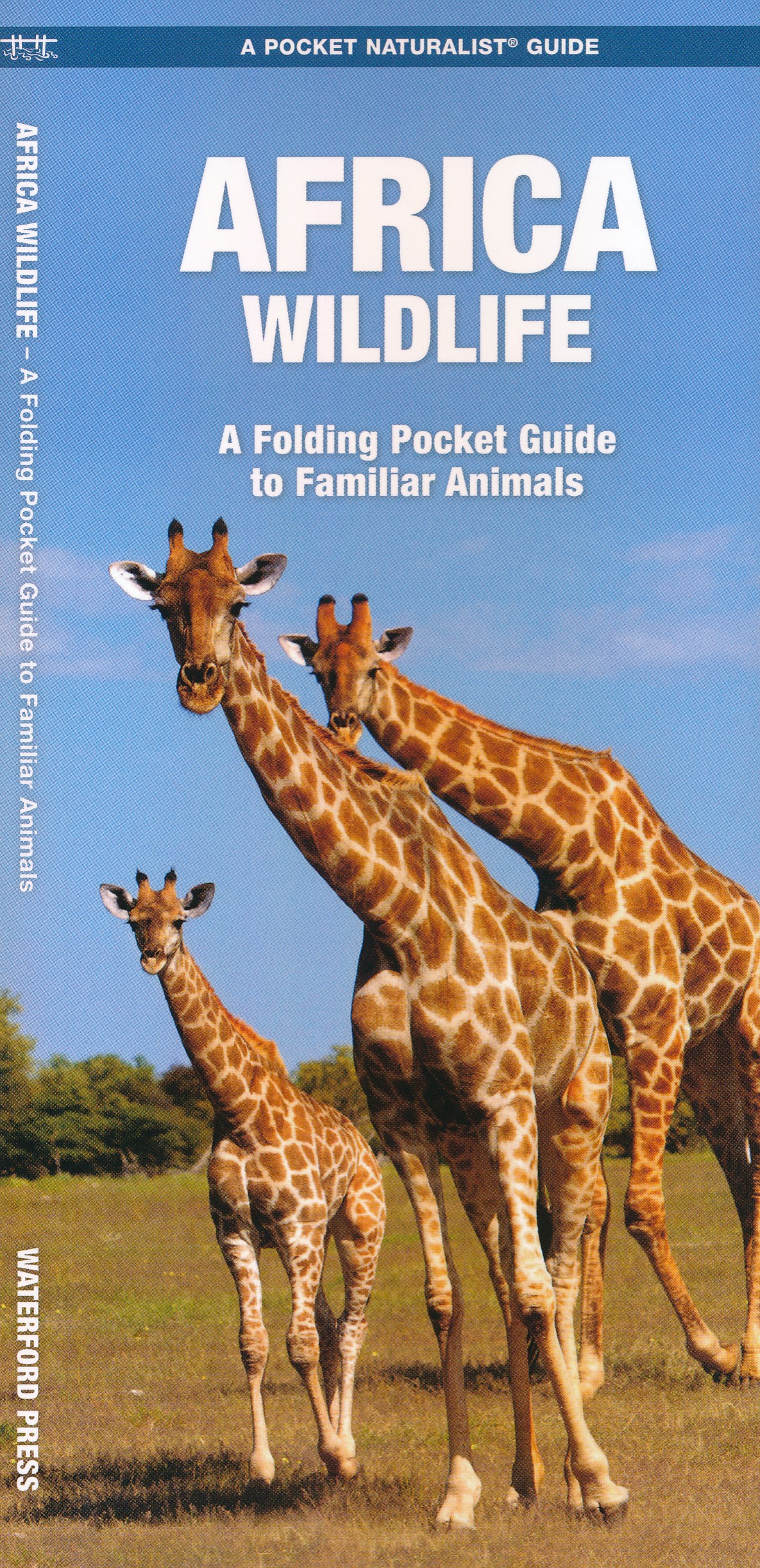
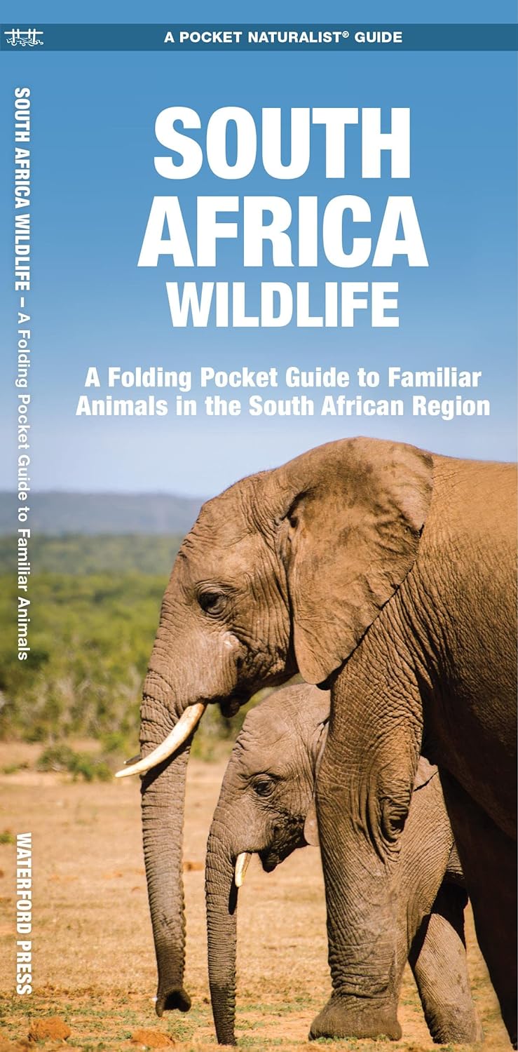
- Natuurgids Africa Wildlife an introduction to familiar species | Waterford Press
- Een bijzonder handige uitklapkaart met alle veelvoorkomende dieren van het Afrikaanse continent. Duidelijke illustraties, goede korte omschrijving van soort en leefgebied, geplastificeerd. The Pocket Naturalist series introduces novices to common plants and animals and natural phenomena. Each pocket-sized, folding guide highlights up to 150... Read more
De Zwerver
Netherlands
2013
Netherlands
2013
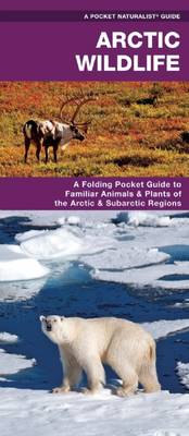
- Natuurgids Arctic Wildlife | Waterford Press
- Een bijzonder handige uitklapkaart met alle veelvoorkomende dieren van het Noordpoolgebied. Duidelijke illustraties, goede korte omschrijving van soort en leefgebied, geplastificeerd. Austere and immense, the Arctic region harbors a unique diversity of flora and fauna adapted to this harsh and unforgiving ecosystem including shrubs, grasses,... Read more
De Zwerver
Netherlands
Netherlands
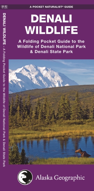
- Natuurgids Denali Wildlife Alaska | Waterford Press
- Denali Wildlife is the perfect pocket-sized, folding guide for the travelling nature enthusiast. This beautifully illustrated guide highlights over 100 familiar species of birds, mammals, and a lone amphibian (the only herp found there) and includes a regional map of the area. Laminated for durability, this handy guide is a great source of... Read more
De Zwerver
Netherlands
Netherlands
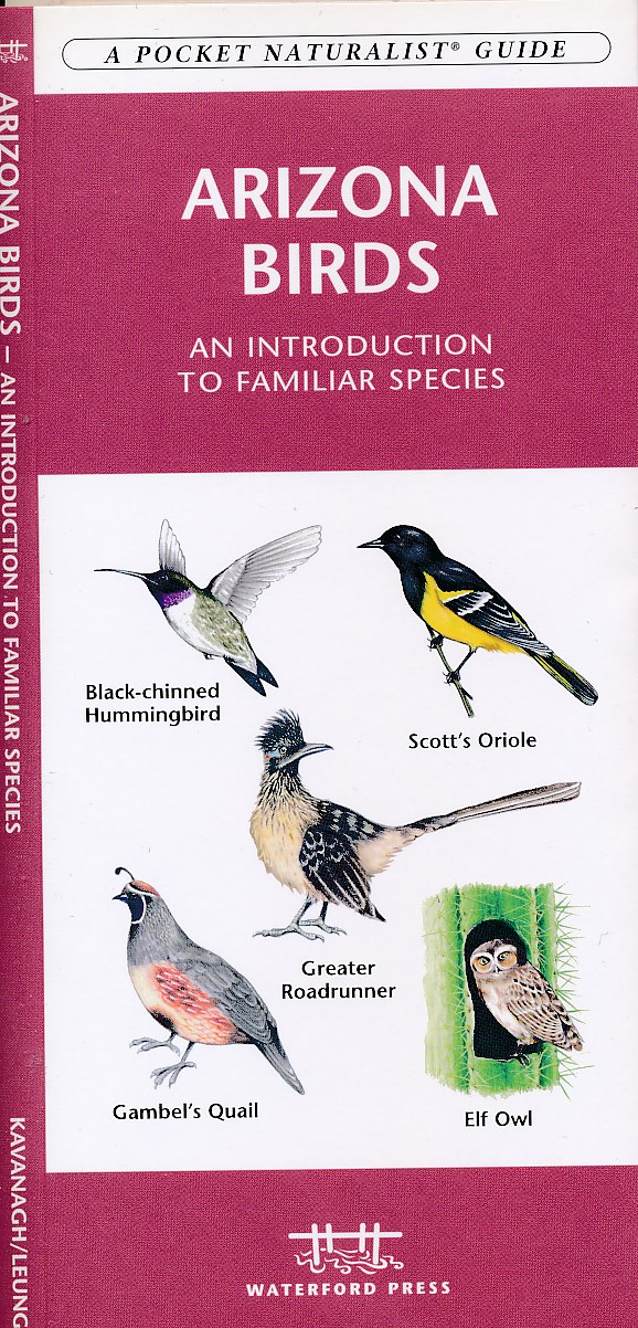
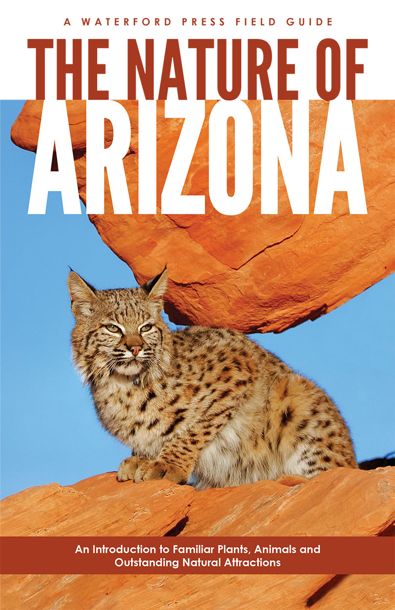
- Natuurgids Arizona birds | Waterford Press
- Een bijzonder handige uitklapkaart : Duidelijke illustraties, goede korte omschrijving van soort en leefgebied, geplastificeerd. Considered one of the three best places in America for bird-watching, Arizona is host to more than 140 species, including the Sandhill Crane and 12 species of Hummingbird not found anywhere else in the country.... Read more
De Zwerver
Netherlands
Netherlands
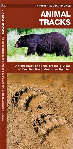
- Natuurgids Animal Tracks North America | Waterford Press
- Een handige uitklapkaart met sporen en uitwerpselen van de meest bekende dieren om ze op te kunnen sporen als je 'in the wild' bent. Geplastificeerd! Animal Tracks provides a simplified field reference to familiar tracks and signs of over 65 North American mammals and birds. Laminated for durability, this handy guide was created and printed in... Read more
De Zwerver
Netherlands
Netherlands
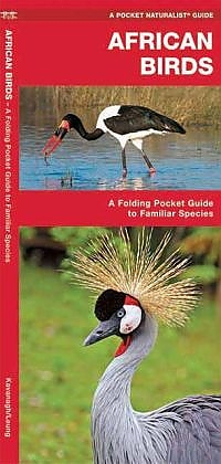
- Vogelgids - Natuurgids Africa Birds | Waterford Press
- Een bijzonder handige uitklapkaart met alle veelvoorkomende vogels van Afrika. Duidelijke illustraties, goede korte omschrijving van soort en leefgebied, geplastificeerd. The Pocket Naturalist series introduces novices to common plants and animals and natural phenomena. Each pocket-sized, folding guide highlights up to 150 species and most... Read more
De Zwerver
Netherlands
Netherlands
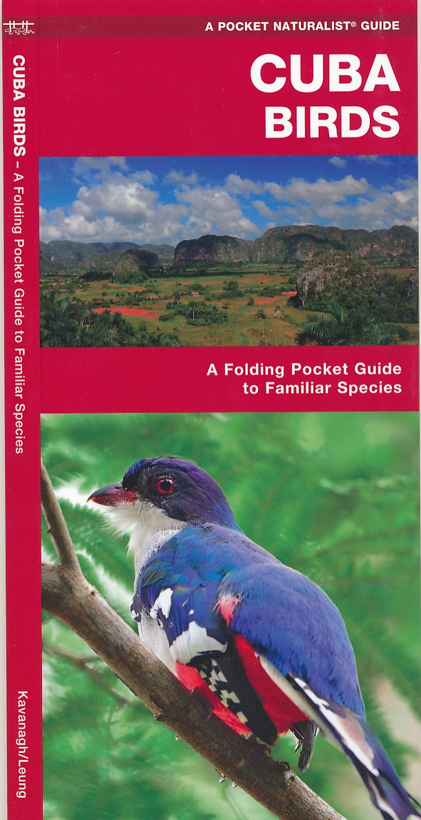
- Vogelgids - Natuurgids Cuba birds | Waterford Press
- Een bijzonder handige uitklapkaart met alle veelvoorkomende vogels van Cuba. Duidelijke illustraties, goede korte omschrijving van soort en leefgebied, geplastificeerd. One of the world's top birding destinations, this Caribbean island is home to 354 recorded species including 21 endemics; the charming Cuban tody, the elegant Cuban trogon and... Read more
De Zwerver
Netherlands
2022
Netherlands
2022
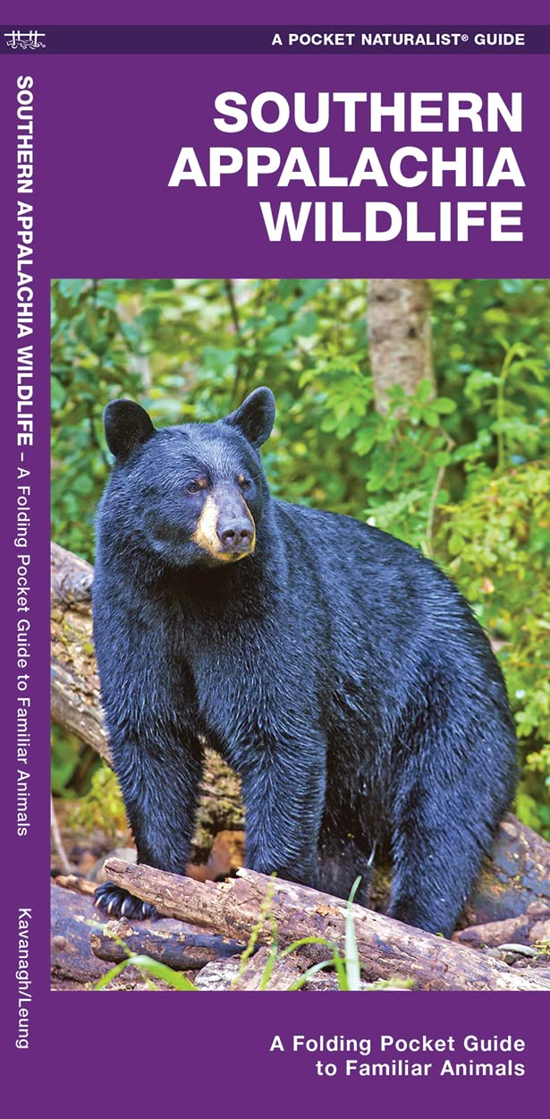
- Natuurgids Southern Appalachian Wildlife | Waterford Press
- Southern Appalachian Wildlife is the perfect pocket-sized, folding guide for the bird lover and nature enthusiast. This beautifully illustrated guide highlights over 140 familiar species of birds, mammals, reptiles, amphibians and fishes found in the Appalachian range between Georgia, Tennessee, North Carolina and Virginia and features a map of... Read more
De Zwerver
Netherlands
2007
Netherlands
2007
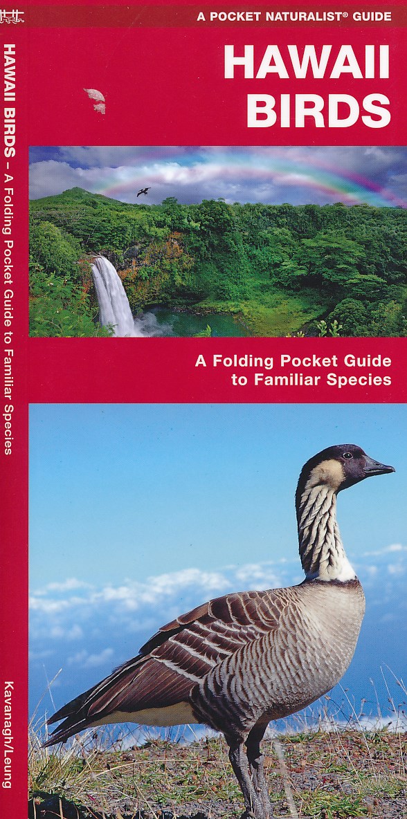
- Vogelgids - Natuurgids Hawaii Birds | Waterford Press
- Een bijzonder handige uitklapkaart met alle veelvoorkomende vogels van Hawaii. Duidelijke illustraties, goede korte omschrijving van soort en leefgebied, geplastificeerd. Read more
Kaarten
De Zwerver
Netherlands
Netherlands
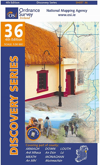
- Topografische kaart - Wandelkaart 36 Discovery Armagh, Down, Louth, Meath, Monaghan | Ordnance Survey Ireland
- Map No. 36, Louth in the Discovery series from the OSI, the Ordnance Survey of Ireland, which presents the country on detailed topographic maps at 1:50,000, with additional overprint highlighting campsites and caravan parks, youth hostels, etc. Current 4th edition of this title was published in February 2013.Maps in the Discovery series have... Read more
- Also available from:
- Stanfords, United Kingdom

Stanfords
United Kingdom
United Kingdom
- Armagh - Down - Louth - Meath - Monaghan OSI Discovery 36
- Map No. 36, Louth in the Discovery series from the OSI, the Ordnance Survey of Ireland, which presents the country on detailed topographic maps at 1:50,000, with additional overprint highlighting campsites and caravan parks, youth hostels, etc. Current 4th edition of this title was published in February 2013.Maps in the Discovery series have... Read more

De Zwerver
Netherlands
Netherlands
- Wandelkaart 5 Rila gebergte | Domino
- Rila Mountains at 1:50,000 on a large, double-sided, contoured map with GPS waypoints for shelters and chalets, peaks, etc. and highlighting hiking routes. Topography is shown by contours at 50m intervals with additional relief shading and graphics and colouring for scree, single rocks over 5m high, marshlands and pine scrub and forests. An... Read more
- Also available from:
- Stanfords, United Kingdom

Stanfords
United Kingdom
United Kingdom
- Rila Mountains Domino
- Rila Mountains at 1:50,000 on a large, double-sided, contoured map with GPS waypoints for shelters and chalets, peaks, etc. and highlighting hiking routes. Topography is shown by contours at 50m intervals with additional relief shading and graphics and colouring for scree, single rocks over 5m high, marshlands and pine scrub and forests. An... Read more

De Zwerver
Netherlands
Netherlands
- Wandelkaart Strandzha - Bulgarije | Domino
- Strandzha Mountains in the south-eastern corner of Bulgaria between Burgas to the Turkish border on a contoured and GPS compatible map from Domino showing local hiking trails and highlighting various interesting sites, with three more detailed enlargements at 1:25,000. Most place names are in both Latin and Cyrillic alphabet; map legend... Read more
- Also available from:
- Stanfords, United Kingdom

Stanfords
United Kingdom
United Kingdom
- Strandzha Mountains: Burgas to the Turkish Border Domino Map
- Strandzha Mountains in the south-eastern corner of Bulgaria between Burgas to the Turkish border on a contoured and GPS compatible map from Domino showing local hiking trails and highlighting various interesting sites, with three more detailed enlargements at 1:25,000. Most place names are in both Latin and Cyrillic alphabet; map legend... Read more

De Zwerver
Netherlands
Netherlands
- Wandelkaart Sredna Gora - Bulgarije | Domino
- Pirin Mountains at 1:50,000 on a large, double-sided, contoured map with GPS waypoints for shelters and chalets, peaks, etc. and highlighting hiking routes. Topography is shown by contours at 40m intervals with additional relief shading and graphics and colouring for sandstone stacks, single rocks over 5m high, marshlands and different types of... Read more
De Zwerver
Netherlands
Netherlands
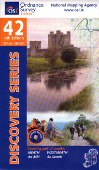
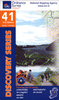
- Topografische kaart - Wandelkaart 42 Discovery Meath, Westmeath | Ordnance Survey Ireland
- Zeer gedetailleerde topografische kaart met een aantal toegevoegde toeristische symbolen voor bijv. Bezienswaardigheden en campings. Met hoogtelijnen, mooi kleurgebruik en ingetekende lange-afstands-wandelroutes. Read more
- Also available from:
- Stanfords, United Kingdom

Stanfords
United Kingdom
United Kingdom
- Meath - Westmeath OSI Discovery 42
- Map No. 42, Meath West - Westmeath East in the Discovery series from the OSI, the Ordnance Survey of Ireland, which presents the country on detailed topographic maps at 1:50,000, with additional overprint highlighting campsites and caravan parks, youth hostels, etc. Current 4th edition of this title was published in February 2011.Maps in the... Read more

De Zwerver
Netherlands
Netherlands
- Wandelkaart 6 Pirin gebergte | Domino
- Pirin Mountains at 1:50,000 on a large, double-sided, contoured map with GPS waypoints for shelters and chalets, peaks, etc. and highlighting hiking routes. Topography is shown by contours at 40m intervals with additional relief shading and graphics and colouring for sandstone stacks, single rocks over 5m high, marshlands and different types of... Read more
- Also available from:
- Stanfords, United Kingdom

Stanfords
United Kingdom
United Kingdom
- Pirin Mountains Domino
- Pirin Mountains at 1:50,000 on a large, double-sided, contoured map with GPS waypoints for shelters and chalets, peaks, etc. and highlighting hiking routes. Topography is shown by contours at 40m intervals with additional relief shading and graphics and colouring for sandstone stacks, single rocks over 5m high, marshlands and different types of... Read more
De Zwerver
Netherlands
Netherlands
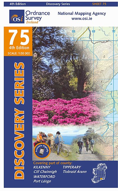
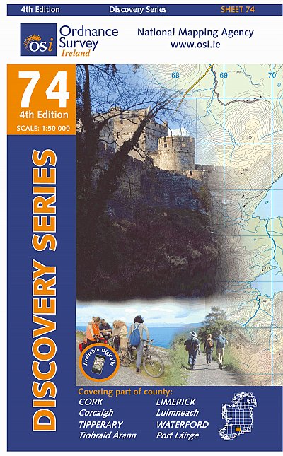
- Topografische kaart - Wandelkaart 74 Discovery Cork, Limerick, Tipperary, Waterford | Ordnance Survey Ireland
- Zeer gedetailleerde topografische kaart met een aantal toegevoegde toeristische symbolen voor bijv. bezienswaardigheden, campings en jeugdherbergen. Met hoogtelijnen, mooi kleurgebruik en ingetekende lange-afstands-wandelroutes. Op deze kaart zijn de nationale parken en de 'national reserves ' uitstekend te vinden. De kaart is dus zowel voor de... Read more
De Zwerver
Netherlands
Netherlands
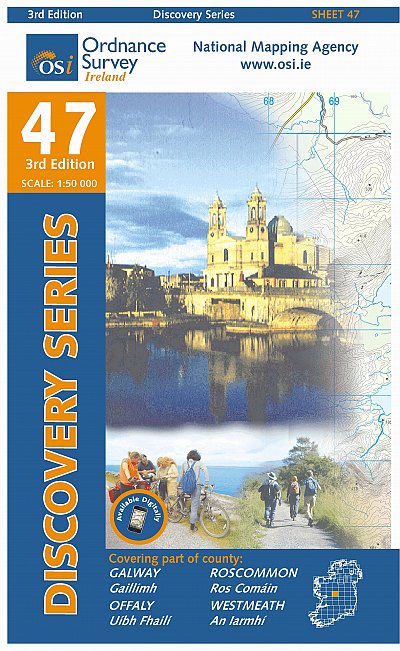
- Topografische kaart - Wandelkaart 47 Discovery Galway, Offaly, Roscommon, Westmeath | Ordnance Survey Ireland
- Zeer gedetailleerde topografische kaart met een aantal toegevoegde toeristische symbolen voor bijv. bezienswaardigheden, campings en jeugdherbergen. Met hoogtelijnen, mooi kleurgebruik en ingetekende lange-afstands-wandelroutes. Op deze kaart zijn de nationale parken en de 'national reserves ' uitstekend te vinden. De kaart is dus zowel voor de... Read more

De Zwerver
Netherlands
Netherlands
- Wandelkaart - Wegenkaart - landkaart 7 Westelijke Rhodopen - Western Rhodopes | Domino
- Western Rhodope Mountains at 1:100,000 on a contoured GPS compatible map from Domino extending from just west of the Pirin National Park to Asenovgrad in the north-east. The map is double-sided with a good overlap between the sides. Topography is shown by contours at 50m intervals with relief shading and spot heights, plus colouring for... Read more
- Also available from:
- Stanfords, United Kingdom

Stanfords
United Kingdom
United Kingdom
- Western Rhodope Mountains Domino Map
- Western Rhodope Mountains at 1:100,000 on a contoured GPS compatible map from Domino extending from just west of the Pirin National Park to Asenovgrad in the north-east. The map is double-sided with a good overlap between the sides. Topography is shown by contours at 50m intervals with relief shading and spot heights, plus colouring for... Read more
Meer kaarten…