
East Munster Way
Beschrijving
- Name East Munster Way
- Lengte van pad 75 km, 47 mijl
- Lengte in dagen 3 dagen
- Start van pad Carrick-on-Suir
- Einde van pad Clogheen
- Traildino graad EW, Makkelijke wandeling, natuurpad


East Munster Way, Carrick-on-suir - Clogheen, 75 km, 3 days
The East Munster Way starts where the South Leinster Way ends: Carrick-on-Suir. The first leg of this three day walk runs along the banks of River Suir, with park like views, forests and land houses. Then it climbs into the forests of the Comeragh Mountains. Next it crosses a pleasant pastoral countryside. The last leg follows the northern slopes of the Knockmealdown Mountains.
The path is varied and gives you the opportunity to get acquainted with a more friendly side of the Irish countryside including old towns, but there are some issues on the quality of the trail and the choice of the traject.
The path is part of both the E8 and the Irish Coast to Coast Walk. It takes over from the Blackwater Way in Clogheen, and hands over to the South Leinster Way in the town of Carrick-on-Suir.
Links
Feiten
Verslagen
Gidsen en kaarten
Overnachting
Organisaties
Reisorganisaties
GPS
Anders
Boeken
Netherlands
2011
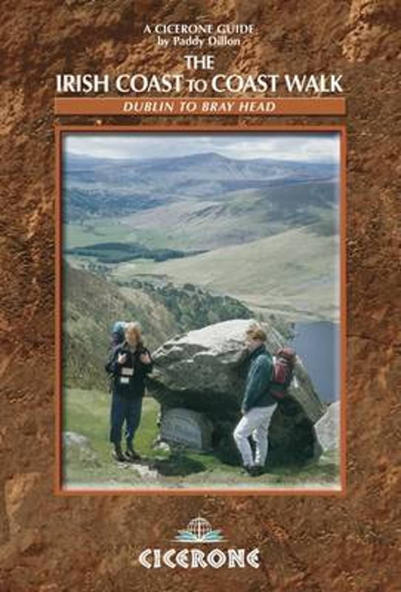
- The Irish Coast To Coast Walk
- The Coast to Coast route through Ireland, from Dublin to the Atlantic coast, passes through glorious mountain and river country, and offers an opportunity to discover the heart of the Emerald Isle. The walk links several waymarked routes - the Wicklow Way, South Leinster Way, East Munster Way, Blackwater Way and the Kerry Way. Whether you... Read more
- Also available from:
- Bol.com, Belgium
Belgium
2011
- The Irish Coast To Coast Walk
- The Coast to Coast route through Ireland, from Dublin to the Atlantic coast, passes through glorious mountain and river country, and offers an opportunity to discover the heart of the Emerald Isle. The walk links several waymarked routes - the Wicklow Way, South Leinster Way, East Munster Way, Blackwater Way and the Kerry Way. Whether you... Read more