
Slovenië
Beschrijving

Slovenia will repeatedly remind you of Austria, whereas at other moments it is distinctively Slavic. The Alps extend into Slovenia, and this is where most hiking opportunities are concentrated.
From west to east are a series of massifs, starting with the Julian Alps on the border with Italy. Central to this white-coloured mountain range is the well-known Triglav National Park, with Mt.Triglav as its highest peak (2864m). It is a wild limestone mountain area with a few much beloved lakes in between. The Karawanken range form the natural border with Austria to the north. In the Kamnik Alps (Steiner Alpen or Kamniške Alpe) knife-edge ridges are interspersed with lovely green meadows. Finally there are the Pohorje mountains (Bachergebirge) in the east of Slovenia, also part of the Southern Limestone Alps.
All these mountain areas have a long-standing hiking tradition common in the Alps, including mountain huts (165 in total), 7000km of marked trails, maps and so-called ‘Via Ferrata'. The Planinska Zveva Slovenije is the Slovenian Alpine Association.
Laid out in 1953, Slovenia's oldest long distance hiking trail is the Slovene Mountain Trail known locally as the Slovenska Planinska Pot (SPP). White circular markings with a "1" in the centre will lead you through all mountain areas of the Slovenian Alps. Any hiking-hero should be able to tackle this trail in 30 days. In the meantime an extended version of this trail has been set out to include the most important mountain peaks. A new trail is Idrija-Cerkno Mountain Path. And of course the international Via Alpina runs through Slovenia for 220km. In the mountains you'll find a trail called Walk of Peace, and the Slovene Geological Path. European long distance trails E6 and E7 lead through a more rural Slovenian countryside. Recommended is the Sub-Alpine Trail passing through quiet hills and valleys, forests and villages, where you can feel truly alone.
Paden
Regios
Bergen


Links
Feiten
Verslagen
Gidsen en kaarten
Overnachting
Organisaties
Reisorganisaties
GPS
Anders
Boeken

Netherlands
2022
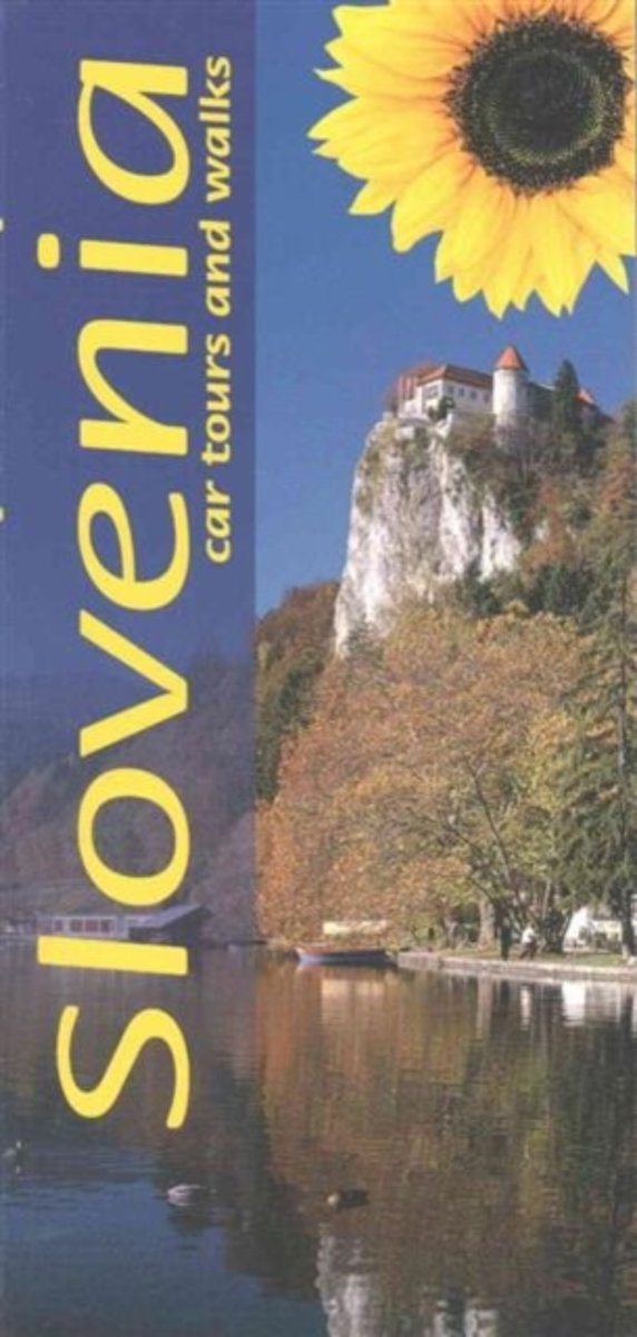
- Wandelgids Slowenien - Slovenie | Rother Bergverlag
- 52 Touren zwischen Julischen Alpen und Adriaküste. Mit GPS-Daten Rother Wanderbuch. 1. Auflage. Read more
Netherlands
- The Rough Guide To Slovenia
- The Rough Guide to Slovenia is your definitive handbook to one of Europe's least discovered countries. The 24-page full-colour introduction highlights all the 'things not to miss', from Ljubljana's vibrant nightlife to the stunning cave network at Postojna. The guide reviews all the top hotel and restaurant options to suit every taste and... Read more
- Also available from:
- Bol.com, Belgium
Belgium
- The Rough Guide To Slovenia
- The Rough Guide to Slovenia is your definitive handbook to one of Europe's least discovered countries. The 24-page full-colour introduction highlights all the 'things not to miss', from Ljubljana's vibrant nightlife to the stunning cave network at Postojna. The guide reviews all the top hotel and restaurant options to suit every taste and... Read more
Netherlands
2015
- Landscapes of Slovenia
- 'Small is beautiful' certainly applies to Slovenia, which is only half the size of Switzerland. With a population of just two million, the landscape is still essentially rural. Amongst these industrious people one senses an orderly contentment and a feeling that everything is in tune with nature. Tour Slovenia by car or on foot; the... Read more
- Also available from:
- Bol.com, Belgium
Belgium
2015
- Landscapes of Slovenia
- 'Small is beautiful' certainly applies to Slovenia, which is only half the size of Switzerland. With a population of just two million, the landscape is still essentially rural. Amongst these industrious people one senses an orderly contentment and a feeling that everything is in tune with nature. Tour Slovenia by car or on foot; the... Read more
Netherlands
- Wegenkaart - landkaart 3324 Adventure Map Croatia - Kroatië | National Geographic
- Waterproof Tear-Resistant Travel MapCalled the jewel of the Adriatic Sea," Croatia's medieval cities, turquoise waters, and rugged mountains make this small Mediterranean county big on adventure! National Geographic's Croatia AdventureMap will meet the needs of Croatia's travelers with its durability and detailed, accurate... Read more
- Also available from:
- Bol.com, Netherlands
- Bol.com, Belgium
Netherlands
- Croatia
- Waterproof Tear-Resistant Travel MapCalled the jewel of the Adriatic Sea," Croatia's medieval cities, turquoise waters, and rugged mountains make this small Mediterranean county big on adventure! National Geographic's Croatia AdventureMap will meet the needs of Croatia's travelers with its durability and detailed, accurate... Read more
Belgium
- Croatia
- Waterproof Tear-Resistant Travel MapCalled the jewel of the Adriatic Sea," Croatia's medieval cities, turquoise waters, and rugged mountains make this small Mediterranean county big on adventure! National Geographic's Croatia AdventureMap will meet the needs of Croatia's travelers with its durability and detailed, accurate... Read more
Netherlands
2009
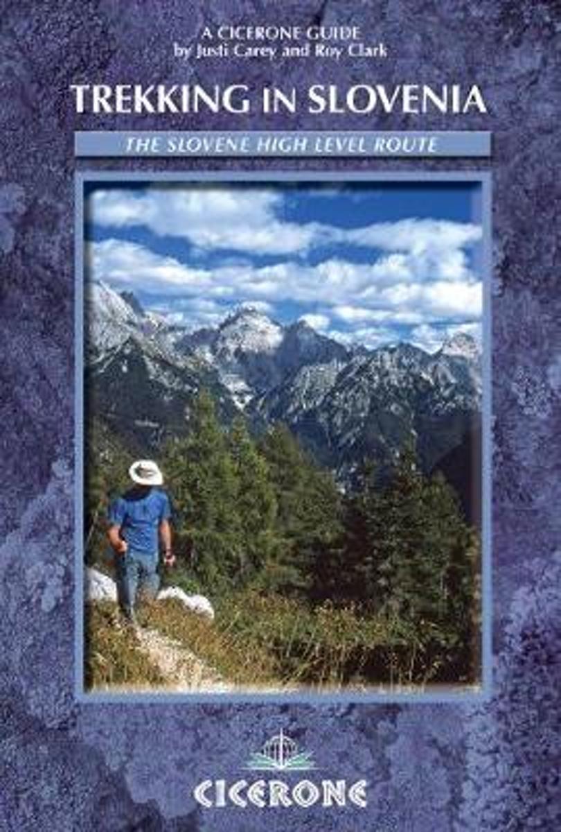
- Trekking in Slovenia
- A guidebook to trekking the Slovene High Level Route, crossing Slovenia from Austria to the Adriatic. The 500km route is described in a series of 3-6 day treks of all levels of difficulty, which can be completed as single sections or linked in a number of ways for longer holidays. From Maribor, close by the Austrian border in the north-east, to... Read more
- Also available from:
- Bol.com, Belgium
Belgium
2009
- Trekking in Slovenia
- A guidebook to trekking the Slovene High Level Route, crossing Slovenia from Austria to the Adriatic. The 500km route is described in a series of 3-6 day treks of all levels of difficulty, which can be completed as single sections or linked in a number of ways for longer holidays. From Maribor, close by the Austrian border in the north-east, to... Read more

Netherlands
2013
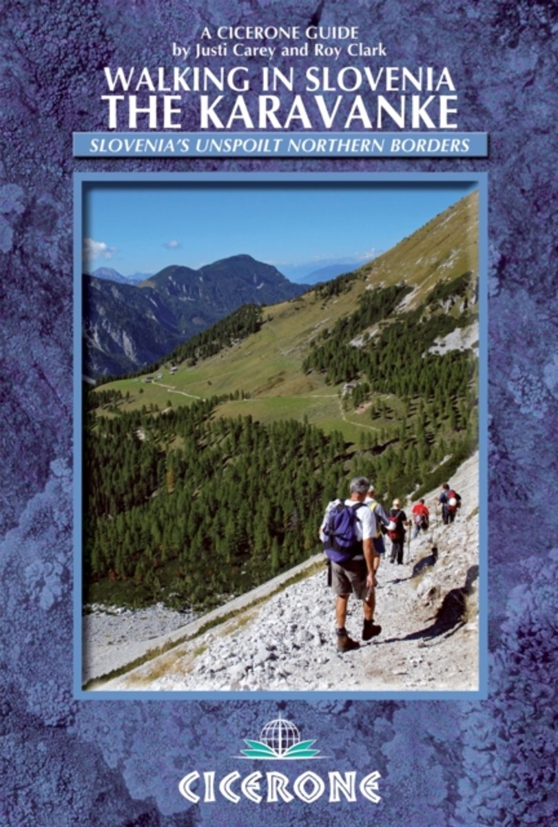
- Wandelgids Karawanken - Slovenie - Walking in the Karavanke | Cicerone
- This guidebook offers 23 walking routes across the 120km Karavanke mountain range, a natural border between Austria and Slovenia. The one and two-day routes are graded for difficulty, and range from low-level walks to high summits. The approaches are mainly from the Slovenian valleys, with bases in unspoilt towns and villages. Read more
- Also available from:
- Bol.com, Netherlands
- Bol.com, Belgium
Netherlands
2013
- Walking in Slovenia
- This guidebook offers 23 walking routes set across the magnificent 120km-long Karavanke mountain range, which forms a natural border between Austria and Slovenia. Commonly known as 'the way the Alps used to be', as it is yet to experience the extent of commercial development known by the Western Alps, it is one of the longest ranges in Western... Read more
Belgium
2013
- Walking in Slovenia
- This guidebook offers 23 walking routes set across the magnificent 120km-long Karavanke mountain range, which forms a natural border between Austria and Slovenia. Commonly known as 'the way the Alps used to be', as it is yet to experience the extent of commercial development known by the Western Alps, it is one of the longest ranges in Western... Read more

Netherlands
2015
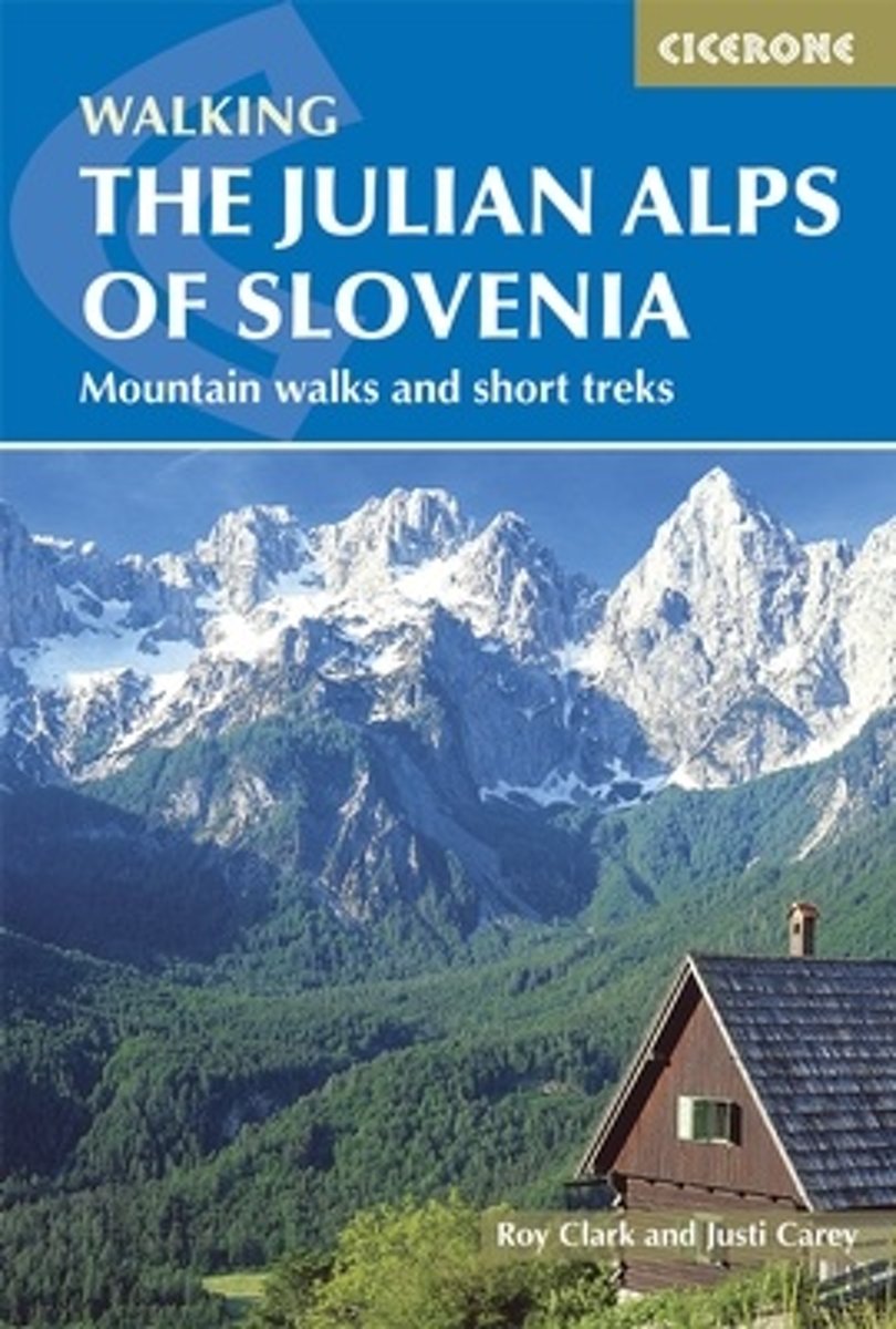
- Wandelgids Julian Alps of Slovenia - Julische Alpen | Cicerone
- Guidebook describing 58 walks in the Julian Alps of Slovenia. The walks are organized around five bases - Kranjska Gora, Bovec, Kobarid, Bled and Bohinj. The routes in the Julian Alps range from easy valley walks and rougher forest trails to high-mountain protected routes, including Triglav at 2864m, and multi-day treks. Read more
- Also available from:
- Bol.com, Netherlands
- Bol.com, Belgium
- The Book Depository, United Kingdom
Netherlands
2015
- The Julian Alps of Slovenia
- This guidebook contains 58 walking routes which explore the best of the Julian Alps of Slovenia. The walks and treks in this guidebook are organised around five bases in the Julian Alps - Kranjska Gora, Bovec, Kobarid, Bled and Bohinj - all of which have a range of accommodation and public transport facilities. There is something here for... Read more
Belgium
2015
- The Julian Alps of Slovenia
- This guidebook contains 58 walking routes which explore the best of the Julian Alps of Slovenia. The walks and treks in this guidebook are organised around five bases in the Julian Alps - Kranjska Gora, Bovec, Kobarid, Bled and Bohinj - all of which have a range of accommodation and public transport facilities. There is something here for... Read more

United Kingdom
2015
- The Julian Alps of Slovenia
- Mountain Walks and Short Treks Read more
Netherlands
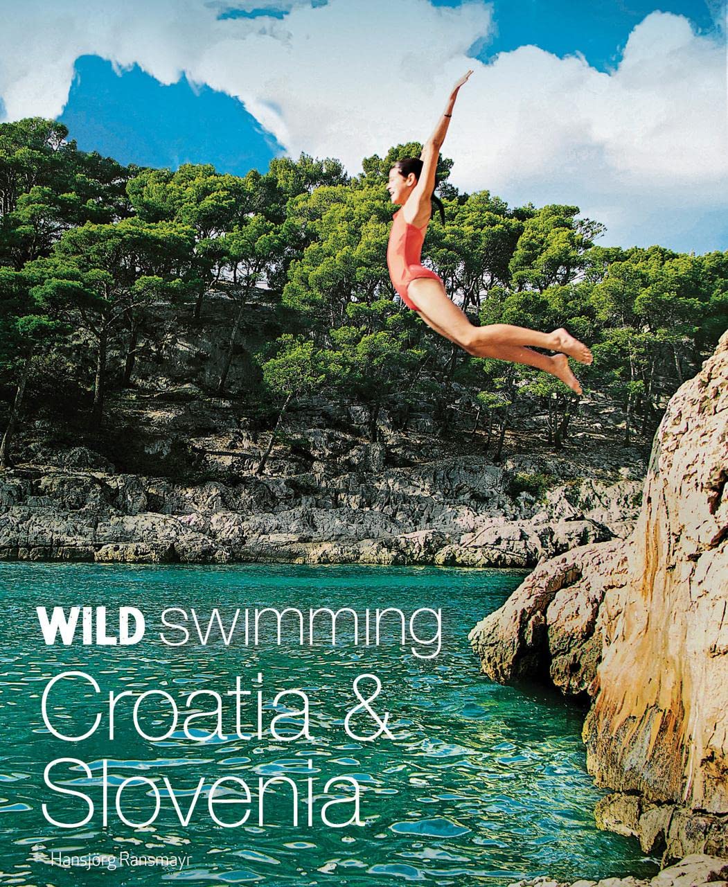
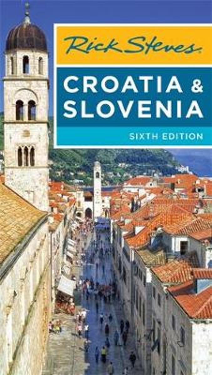
- Rick Steves Croatia & Slovenia (Sixth Edition)
- You can count on Rick Steves to tell you what you really need to know when traveling to Croatia and Slovenia.With this guide, youll explore charming towns and undiscovered natural wonders. Stroll atop the walls that encircle romantic Dubrovnik, wander through the Roman ruins in the heart of bustling Split, and set sail to the islands of... Read more
- Also available from:
- Bol.com, Belgium
Belgium
- Rick Steves Croatia & Slovenia (Sixth Edition)
- You can count on Rick Steves to tell you what you really need to know when traveling to Croatia and Slovenia.With this guide, youll explore charming towns and undiscovered natural wonders. Stroll atop the walls that encircle romantic Dubrovnik, wander through the Roman ruins in the heart of bustling Split, and set sail to the islands of... Read more
Kaarten
Netherlands
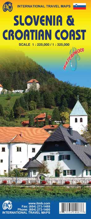
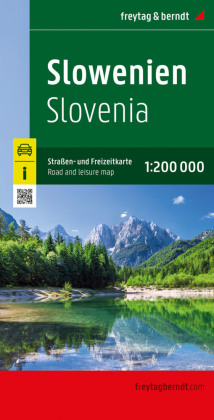
- Wegenkaart - landkaart Slovenie - Slovenia & Croatian coast | ITMB
- Slovenia 1 : 225 000 & Croatian Coast 1 : 325 000 ab 10.49 EURO A Travellers Reference Map International Travel Map ITM. 4th Edition Read more
Netherlands
- Wegenkaart - landkaart Slovenië - Kroatië - Servië - Bosnië-Hercegovina - Montenegro - Kosovo - Macedonië | Freytag & Berndt
- Slowenien / Kroatien / Serbien / Bosnien-Herzegowina / Montenegro / Kosovo / Mazedonien 1 : 1 000 000. Autokarte ab 10.9 EURO Touristische Informationen. Dalmatinische Inseln 1:275 000. Schifffahrtslinien freytag & berndt Auto + Freizeitkarten. Laufzeit bis 2014 Read more
Netherlands
2023
Netherlands
2024

Netherlands
2024
Netherlands
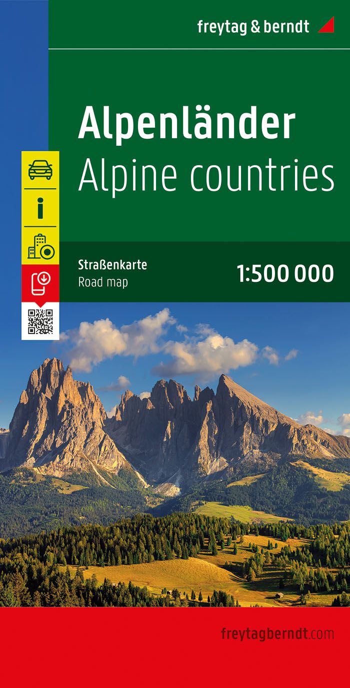
- Wegenkaart - landkaart the Alps - Alpenlander - Alpen | Freytag & Berndt
- Alpenländer - Österreich - Slowenien - Italien - Schweiz - Frankreich, Autokarte 1:500.000 ab 10.9 EURO Österreich / Slowenien / Italien / Schweiz / Frankreich. Citypläne. Alpenstraßen. Ortsregister mit Postleitzahlen Freytag & Berndt Autokarte. Neuauflage, Laufzeit bis 2019 Read more

United Kingdom
- Stajerska - Slovene Hills - Haloze - Boc Kartografija Tourist Map
- Stajerska region of north-eastern Slovenia on a contoured and GPS compatible map at 1:50,000 from the Ljubljana-based Kartografija, with coverage centred on Ptuj and including Maribor on the western edge of the map. On the reverse are bilingual English/Slovenian descriptions of the region’s best sights.Maps in this series from Kartografija,... Read more

United Kingdom
- Pomurje
- Pomurje in a series of double-sided maps at 1:40,000 from Kartografija in Ljubljana, accompanied by bilingual guides with descriptions of hiking trails, cycling routes, places of interest, lists of mountain huts, etc.The maps have contours at 20m intervals, enhanced by relief shading and graphics to provide a very effective picture of the... Read more
United Kingdom
- Ljubljana and Environs
- Ljubljana and Environs in a series of double-sided maps at 1:40,000 from Kartografija in Ljubljana, accompanied by bilingual guides with descriptions of hiking trails, cycling routes, places of interest, lists of mountain huts, etc.The maps have contours at 20m intervals, enhanced by relief shading and graphics to provide a very effective... Read more


United Kingdom
- Maribor - Pomurje - Drava Valley Kompass 2802
- Maribor - Pomurje and the Drava Valley in a series of GPS compatible, double-sided recreational maps at 1:75,000 from Kompass covering Northern Slovenia and the country’s coast, with hiking and cycling routes plus extensive tourist information. Cartography, different in style to that used in Kompass’s extensive hiking series covering other... Read more

United Kingdom
- Polhograjsko Hribovje Slovenian Alpine Club 25K Map
- Polhograjsko Hribovje area at 1:25,000 in a series of contoured, GPS compatible recreational maps from Planinska zveza Slovenie - Slovenian Alpine Club, covering Slovenia’s popular hiking regions at 1:50,000 or 1:25,000. Contours are at 20m intervals and the map has a 1km UTM grid plus 1’ margin ticks. On the reverse are details of two mountain... Read more

United Kingdom
- Notranjski Kras - Brkini - Dolenjska - Bela Krajina Kartografija Tourist Map
- Notranjski Kras, Brkini, Dolenjska and Bela Krajina regions of southern Slovenia on a contoured and GPS compatible map at 1:75,000 from the Ljubljana-based Kartografija. The map is double-sided and includes bilingual English/Slovenian descriptions of the region’s best sights.Maps in this series from Kartografija, covering most of Slovenia at... Read more