Alps
Beschrijving

The Alps, main mountain range of Europe, extending from France to Slovenia, including Austria, Italy, Germany, Switzerland, Liechtenstein. Highest summit is Mont Blanc (4.810), on the frontier of France, Switzerland and Italy, home of the popular Tour du Mont Blanc.
The Alps are, contrary to what most people think, not the largest mountain range in Europe. The Carpathians actually are more extensive, but not as high.
Often, hikers from outside Europe ask where to go in the Alps, which trail is best. Obviously, this is something every individual has to decide upon herself. The range of hiking opportunities in the Alps is huge. Beautiful country walks are within reach of snow capped mountains where someone else is sweating on a rope to get over a glacier. There are plenty of long distance trails combining different areas, although most people stick to one area. Some like to stay in a hotel and make day walks. Others fancy a hut-tour.
Let's be clear on another point: the facilities in the Alps are among the best in the world. Some would argue they are over the top. Thousands of huts – and very good ones too – lots of ski lifts, well marked trails.
Okay, we from Traildino do have some advice. First, take into account the local culture of an area. Many Alpine regions have a long and rich history which is there to enjoy. The different countries sharing the Alps are all very different, and the regional differences are equally astonishing. This is really a part of the fun here: enjoying nature, enjoying people and hospitality. Second tip: famous is not best. You will probably think of flying to the Matterhorn or Mont Blanc or something equally famous. Needless to say: these area's are very busy and by no means the most impressive or beautiful. Pretty as they are, also the different national parks draw many visitors and hikers are packed in large huts when aiming at the high peaks. If that's what you want: fine. If you prefer a small hut where a local warden makes you the best dinner you've ever had and where you can have a chat with the other three guests while inhaling the sounds and fumes of the end of the day, than virtually every region in the Alps has its charms.
Kaart

Paden in deze regio
- AdlerwegGPX
- Aletsch PanoramawegGPX
- AlpannoniaGPX
- Alpen Weitwanderweg
- Alpenkranz Uri
- Alpenpanorama-WegGPX
- AlpenpässewegGPX
- Alta Via dei GigantiGPX
- Alta Via dei Monti LiguriGPX
- Alta Via Della Valle d'Aosta No 1
- Alta Via Della Valle d'Aosta No 2
- Alta Via Dolomiti 1GPX
- Alta Via Dolomiti 10
- Alta Via Dolomiti 2GPX
- Alta Via Dolomiti 3GPX
- Alta Via Dolomiti 4GPX
- Alta Via Dolomiti 5
- Alta Via Dolomiti 6GPX
- Alta Via Dolomiti 7
- Alta Via Dolomiti 8
- Alta Via Dolomiti 9
- ArnowegGPX
- Ämtlerweg
- Bassa Via del GardaGPX
- Berliner HöhenwegGPX
- Berner Voralpenweg
- Chemin des BissesGPX
- Chemin du VignobleGPX
- Dachstein-Tauern Panoramaweg
- E10GPX
- E2GPX
- E4GPX
- E5GPX
- E6GPX
- Eisenwurzenweg - 8GPX
- EmmenuferwegGPX
- Freiburger VoralpenwegGPX
- Furka HöhenwegGPX
- Gailtaler HöhenwegGPX
- GoethewegGPX
- GR5GPX
- GR50 - Tour des ÉcrinsGPX
- GR510 - Sentier des huit valléesGPX
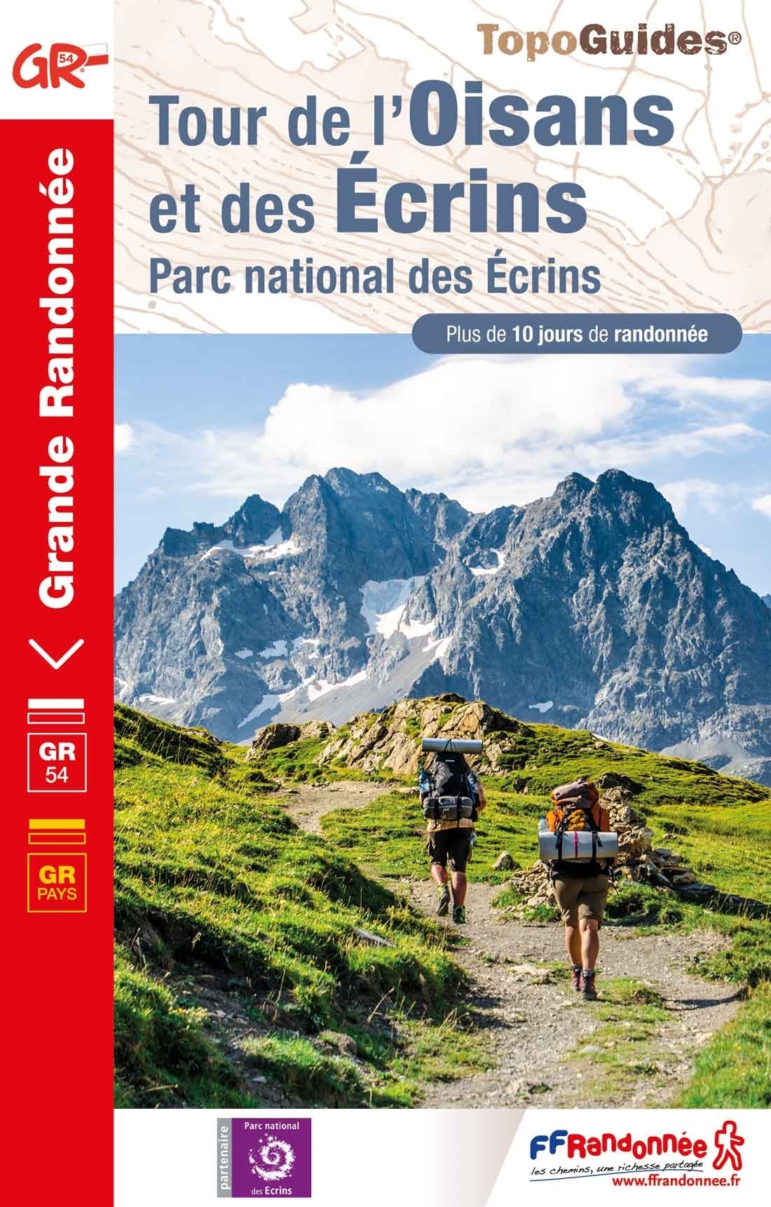
- GR54 - Tour de l'Oisans et des ÉcrinsGPX
- GR541
- GR549
- GR55 - Tour de la VanoiseGPX
- GR56 - Tour de l'UbayeGPX
- GR58 - Tour du QueyrasGPX
- GR65 - Via PodiensisGPX
- GR653 - Via TolosanaGPX
- GR653D - Voie d’ArlesGPX
- GR9GPX
- GR91 - Traversée du VercorsGPX
- GR93GPX
- GR94 - Tour des Hautes-AlpesGPX
- GR946
- GR95GPX
- GR96 - Traversée des BaugesGPX
- Grande Traversata del Gran Paradiso
- Grande Traversata delle AlpiGPX
- Grenzpfad NapfberglandGPX
- GTPA - Grande Traversée des PréalpesGPX
- Haute Route Chamonix-ZermattGPX
- Heidiland Wandertour
- Heilbronner HöhenwegGPX
- Hintere Gasse
- KalkalpenwegGPX
- Karnischer HöhenwegGPX
- Karwendel Höhenweg
- Kesch Trek
- Kreuzecker Höhenweg
- Lasörling HöhenwegGPX
- Lötschberg PanoramawegGPX
- Lechtaler HöhenwegGPX
- Liechtensteiner PanoramawegGPX
- Mariazeller Wege - 6GPX
- MaximilianswegGPX
- Meraner HöhenwegGPX
- Mittelbünden PanoramawegGPX
- Nationalpark PanoramawegGPX
- Nord-Süd Wanderweg - 5GPX
- Nordalpenweg - 1GPX
- Obwaldner HöhenwegGPX
- Pragelpass-WegGPX
- Prättigauer HöhenwegGPX
- Rätikon Höhenweg
- Rheintaler HöhenwegGPX
- Route du Temps
- Rupertiweg - 10GPX
- Salzburger AlmenwegGPX
- Salzsteigweg - 9GPX
- Sanetsch Muveran WegGPX
- Südalpenweg - 3GPX
- Schanfigger HöhenwegGPX
- Schladminger Tauern Höhenweg
- Schwyzer HöhenwegGPX
- SeealpentourGPX
- Senda SegantiniGPX
- Senda SursilvanaGPX
- Sentiero CristallinaGPX
- Sentiero della PaceGPX
- Sentiero Lago di LuganoGPX
- Sentiero VerzascaGPX
- Slovene Geological Path
- Slovenska Planinska PotGPX
- Slovenska Planinska Pot (extended)
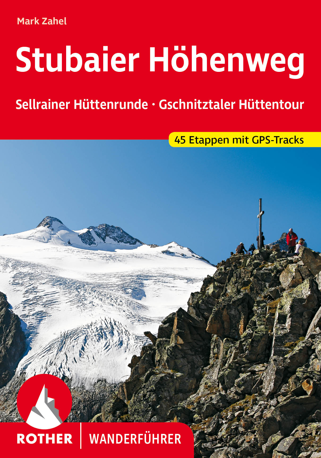
- Stubaier HöhenwegGPX
- Sub-Alpine Trail
- Tauernhöhenweg
- Thurgauer PanoramawegGPX
- ThurwegGPX
- Tiroler Höhenweg
- TMB - Tour du Mont BlancGPX
- Tour des CombinsGPX
- Tour des Dents du MidiGPX
- Tour des Grands Barrages
- Tour du Augstbordhorn
- Tour du BeaufortainGPX
- Tour du MatterhornGPX
- Tour du Saint-BernardGPX
- Tour du Val de BagnesGPX
- Tour du WildhornGPX
- Tour Monte RosaGPX
- Tour Val d'HérensGPX
- Trans-Swiss TrailGPX
- Traumpfad München-VenedigGPX
- Venediger HöhenwegGPX
- Verwall Höhenweg
- Via AlpinaGPX
- Via EngiadinaGPX
- Via FrancigenaGPX
- Via GebennensisGPX
- Via JacobiGPX
- Via RhenanaGPX
- Via SbrinzGPX
- Via SplugaGPX
- Via StockalperGPX
- Via ValtellinaGPX
- Voralpenweg - 4GPX
- Walk of Peace
- Walliser SonnenwegGPX
- WALSA-wegGPX
- Weg der SchweizGPX
- Züri Oberland HöhenwegGPX
- Zürich-Zugerland PanoramawegGPX
- Zentralalpenweg - 2GPX


Links
Feiten
Verslagen
Gidsen en kaarten
Overnachting
Organisaties
Reisorganisaties
GPS
Anders
Boeken
Netherlands
2010
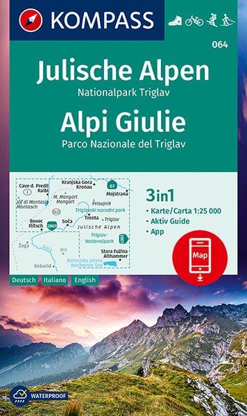
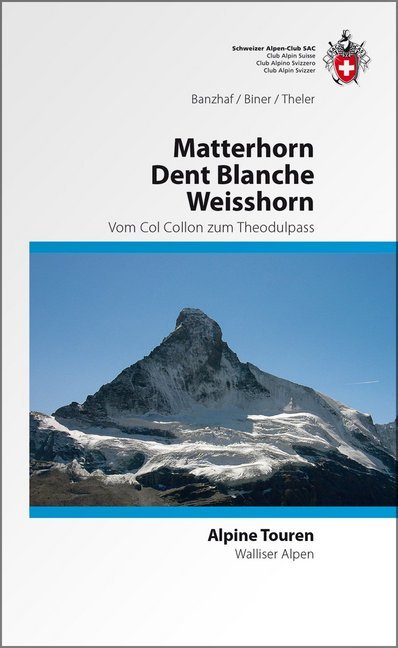
- Wandelgids Alpine Touren Matterhorn - Weisshorn - Dent Blanche | SAC Schweizer Alpenclub
- Wandel- klimgids voor de Walliser Alpen met beschrijvingen van de routes naar toppen van bekende topppen: Bouquetins - Dents de Perroc, Dent Blanche, Grand Cornier, Gable horner - Zinalrothorn , Weisshorn, Diablons - Bella Tola & Matterhorn. Im Gebiet dieses Führers liegen die schönsten und berühmtesten Viertausender der Schweizer Alpen. In der... Read more

Netherlands
2021
- Wandelgids 265 Vogesen - Durchquerung: GR53 GR5 | Rother Bergverlag
- In 37 etappes over de Lange Astands Wandelingen GR 53, GR 5 en GR 531 van Wissembourg naar Giromagny en Masevaux door de prachtige Vogezen. Goed alternatief voor de langverwachte maar nog steeds niet uitgekomen Crete des Vosges wandelgids van FFRP. Duitse samenvatting: Die Vogesen sind nicht nur eines der urwüchsigsten Mittelgebirge in unseren... Read more
Netherlands
2020
Netherlands
2020
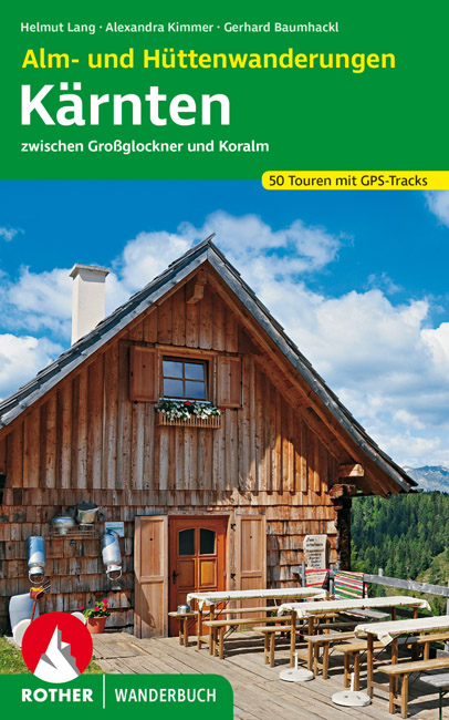
- Wandelgids Kärnten - Karinthië Alm- und Hüttenwanderungen | Rother Bergverlag
- 51 Touren zwischen Großglockner und Koralm. Mit GPS-Tracks. Read more
Netherlands
2019
- Wandelgids Walking in the Engadine - Engadin | Cicerone
- A guidebook to 100 day walks in the Engadine, Val Bregaglia, neighbouring valleys and the Engadine National Park. Varying from gentle rambles to adventurous high-level routes for the experienced mountain walker. The routes range from 4 to 16km long, visiting forests and meadows, high mountain landscapes, lakes and passes. Read more
- Also available from:
- Stanfords, United Kingdom

United Kingdom
2019
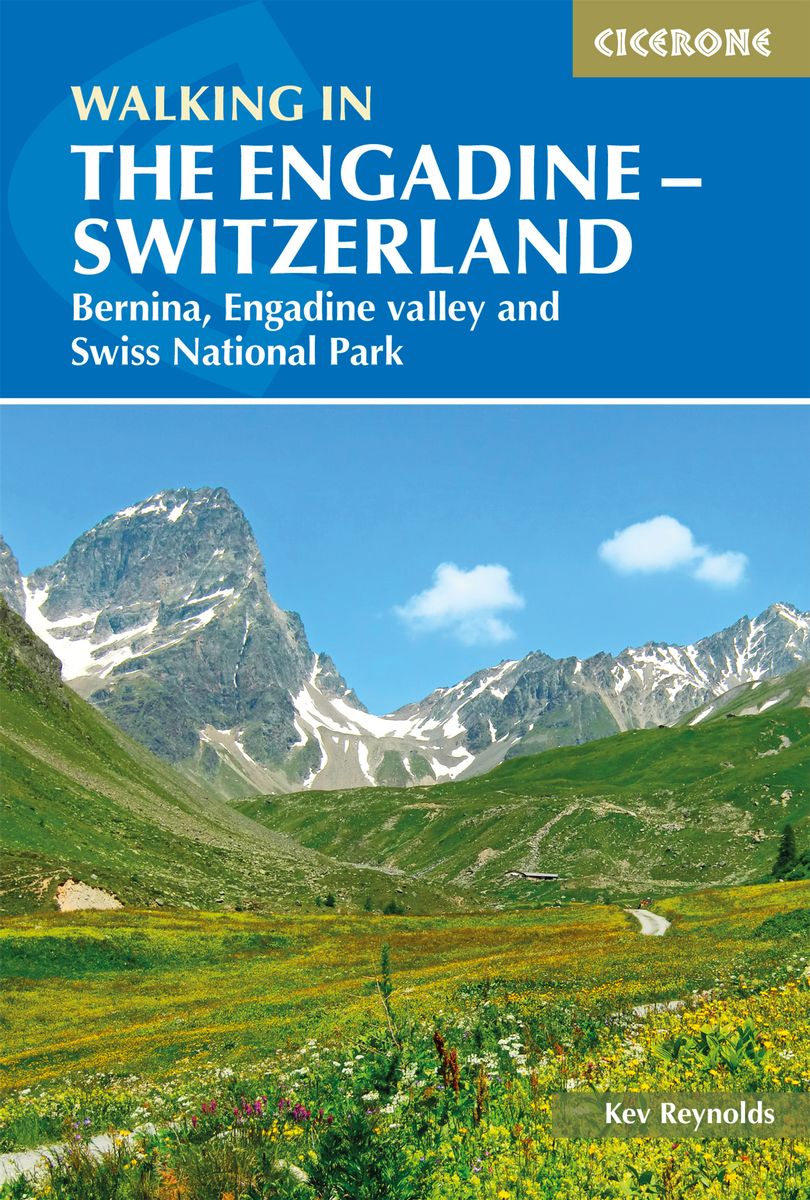
- Walking in the Engadine - Switzerland: Bernina, Engadine valley and Swiss National Park
- Walking in the Engadine contains detailed route descriptions for 100 day walk routes that vary from 4 to 16km long in length. The routes cover a variety of terrain from luscious meadows and craggy mountains to glaciers and snowpeaks. Most of the walks described in this guidebook have been chosen with a particular viewpoint, lake, alp hamlet,... Read more

Netherlands
2024
- Klimgids - Klettersteiggids Alpine Klettersteige Ostalpen | Rother Bergverlag
- 70 spannende Touren zwischen Wien, Bodensee und Gardasee Rother Selection. 1. Auflage. Read more

Netherlands
2018
- Wandelgids Tourist route E4 in Bulgaria | Oilaripi
- Verrassend goede wandelgids van een deel van de E4 in Bulgarije. Goede kaarten, hoogteprofielen, prima beschrijvingen en praktische informatie maken het een volwaardige wandelgids die je in eerste instantie van dit gebied niet zou verwachten. Guidebook along the main ridge of the great alpine route E4 in Bulgaria, also known as �the fiv... Read more
Netherlands
2015
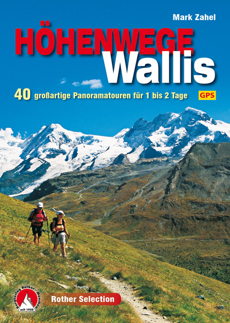
- Wandelgids Höhenwege im Wallis | Rother Bergverlag
- Een selectie van prachtige kortere tochten in Wallis: zeer goed beschreven met alle noodzakelijke informatie. Goede kaarten. 208 Seiten mit 201 Farbabbildungen 40 Höhenprofile, 40 Wanderkärtchen im Maßstab 1:50.000 und 1:75.000, Übersichtskarte, Tourenmatrix Mit dem Anblick seiner mächtigen Viertausender übt das Wallis unwiderstehliche Reize... Read more
Netherlands
2022
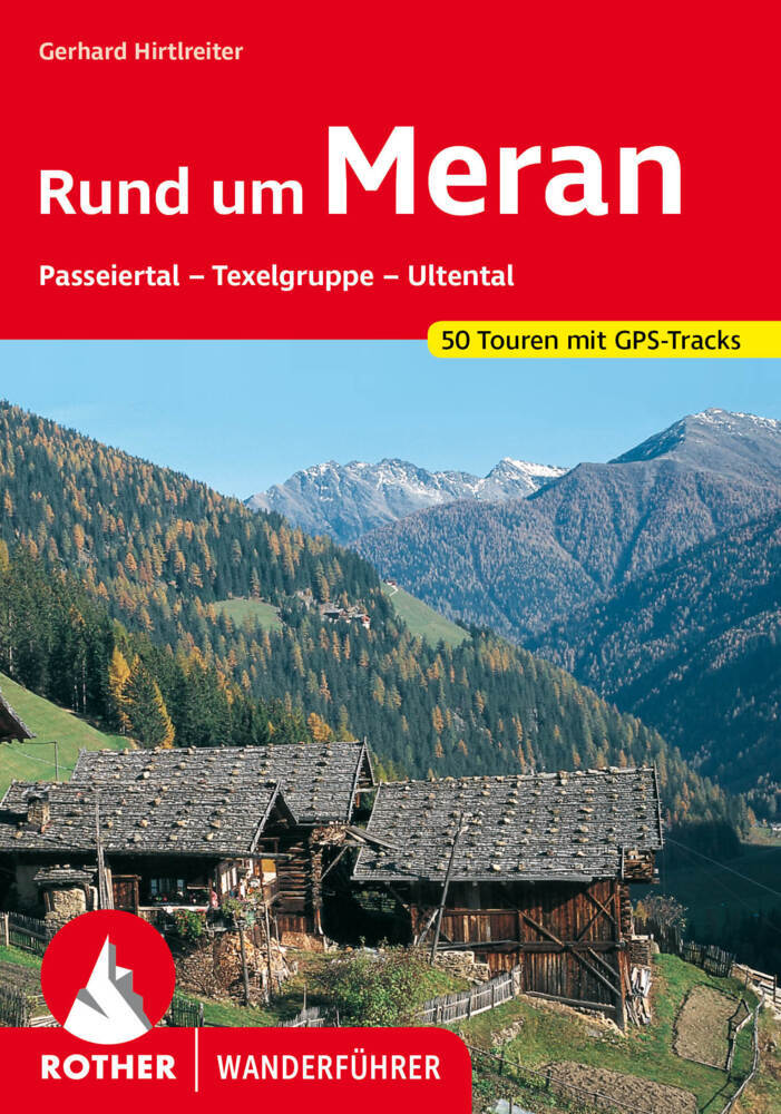
- Wandelgids 63 Rund um Meran - Merano | Rother Bergverlag
- Uitstekende wandelgids met 50 dagtochten in dal en hooggebergte. Met praktische informatie en beperkt kaartmateriaal! Wandelingen in verschillende zwaarte weergegeven in rood/blauw/zwart. Duits. Meran und Schloss Tirol waren der Mittelpunkt des alten Tirol. Heute bildet die Stadt Meran mit ihrer Umgebung ein beliebtes Ziel für Wanderer und... Read more
Netherlands
2019
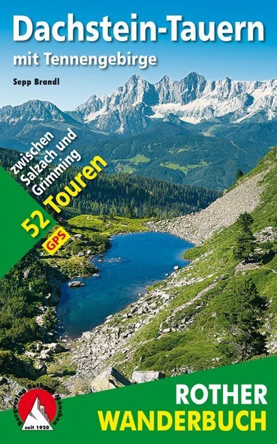
- Wandelgids Dachstein-Tauern mit Tennengebirge | Rother Bergverlag
- De ‘Rother Wanderbücher’ behandelen telkens de 50 mooiste wandelingen, die variëren van eenvoudige kindvriendelijke wandelingen tot routes die aanzienlijk meer ervaring vereisen. Uitvoerige routebeschrijvingen, een aantrekkelijke lay-out met vele kleurenfoto’s, niets aan duidelijkheid te wensen gelaten hoogteprofielen, kaartjes met de... Read more

Netherlands
2009
- Wandelgids GR 5 Mer Du Nord-Mediterrannee Noordzee - Middellandse Zee deel Ardennen (Maastricht - Diekirch ) | GR Sentiers
- LET OP: deze wandelgids van dit deel van de GR5 is alleen nog maar in het Frans leverbaar. De Nederlandstalige versie is geheel uitverkocht, niet meer te bestellen en er komt naar alle waarschijnlijkheid geen nieuwe versie in het Nederlands! Uitstekende routegids met gedetailleerde kaarten en een routebeschrijving. Fout lopen wordt op deze... Read more
Kaarten

Netherlands
2020
- Wandelatlas - Pelgrimsroute (kaart) 161 Chemins de Compostelle GR65 | Michelin
- Véritable petit atlas détaillant chaque étape avec indications précises concernant les villes de départ et d'arrivée ainsi que pour les localités traversées (auberges, refuges, restaurants, pharmacies, gare, épiceries, Km parcourus, Km restants....).Ce petit atlas suit le chemin du... Read more

Netherlands
2017
- Wandelgids Der Meraner Höhenweg | Tappeiner Verlag
- Prachtig uitgevoerde wandelgids met veel foto's en uitgebreide tekst. Bijgevoegd een gedetailleerde kaart van 1:25.000 met de ingetekende route. De kaart is toereikend om te gebruiken op de route; op de achterkant staat dan de praktische informatie nog een extra vermeld. In diesem Buch über den Meraner Höhenweg werden einerseits die Entstehung... Read more

Netherlands
2016
- Wandelgids The Cretan Way E4 | Anavasi
- The Cretan Way is a 500km walking route which takes you from east to west across the varied and spectacular landscapes of Crete. It is the ideal way to discover the rural, mountainous and costal regions of this incredible island. This guide is based on a 28-day walk.This guide includes practical information, maps at a scale of 1:25.000 of... Read more
- Also available from:
- Stanfords, United Kingdom

United Kingdom
2016
- The Cretan Way - A 28 Day Walk
- The Cretan Way is a 500km walking route which takes you from east to west across the varied and spectacular landscapes of Crete. It is the ideal way to discover the rural, mountainous and costal regions of this incredible island. This guide is based on a 28-day walk.This guide includes practical information, maps at a scale of 1:25.000 of... Read more
Netherlands
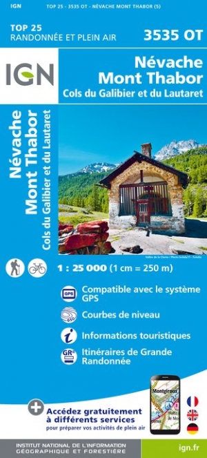
- Wandelkaart - Topografische kaart 3535OT Névache - Mont Thabor | IGN - Institut Géographique National
- De wandelkaart die de perfectie benadert! Werkelijk alle topografische details zijn er op te vinden; van hoogtelijnen tot aan bruggetjes en allerlei wandelpaden. Daarnaast hebben de makers een flinke dosis toeristische informatie op de kaart verwerkt: campings, gites d étape; restaurants en ingetekende doorgaande wandelpaden, de grandes... Read more
- Also available from:
- Stanfords, United Kingdom

United Kingdom
- Nevache - Mont Thabor - Cols du Galibier et du Lautaret IGN 3535OT
- Topographic survey of France at 1:25,000 in IGN`s excellent TOP25 / Série Bleue series. All the maps are GPS compatible, with a 1km UTM grid plus latitude and longitude lines at 5’ intervals. Contours are at 5m intervals except for mountainous areas where the maps have contours at 10m intervals, vividly enhanced by hill shading and graphics for... Read more
Netherlands
Netherlands
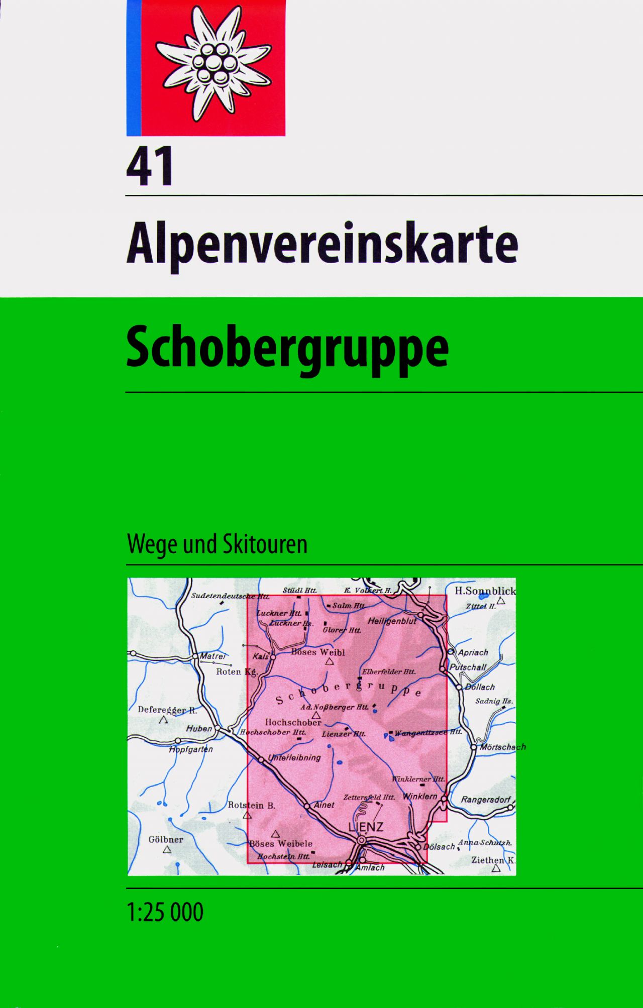
- Wandelkaart 41 Alpenvereinskarte Schobergruppe | Alpenverein
- Schobergruppe area of the Alps in a combined hiking and ski edition at 1:25,000 from a series of detailed, GPS compatible maps published by the DAV - Deutscher Alpenverein and produced by the German and Austrian Alpine Clubs using cartography from their respective survey organizations. Maps in this series have topography vividly presented by... Read more
- Also available from:
- Stanfords, United Kingdom

United Kingdom
- Schobergruppe Alpenverein KOMBI Map 41
- Schobergruppe area of the Alps in a combined hiking and ski edition at 1:25,000 from a series of detailed, GPS compatible maps published by the DAV - Deutscher Alpenverein and produced by the German and Austrian Alpine Clubs using cartography from their respective survey organizations. Maps in this series have topography vividly presented by... Read more
Netherlands
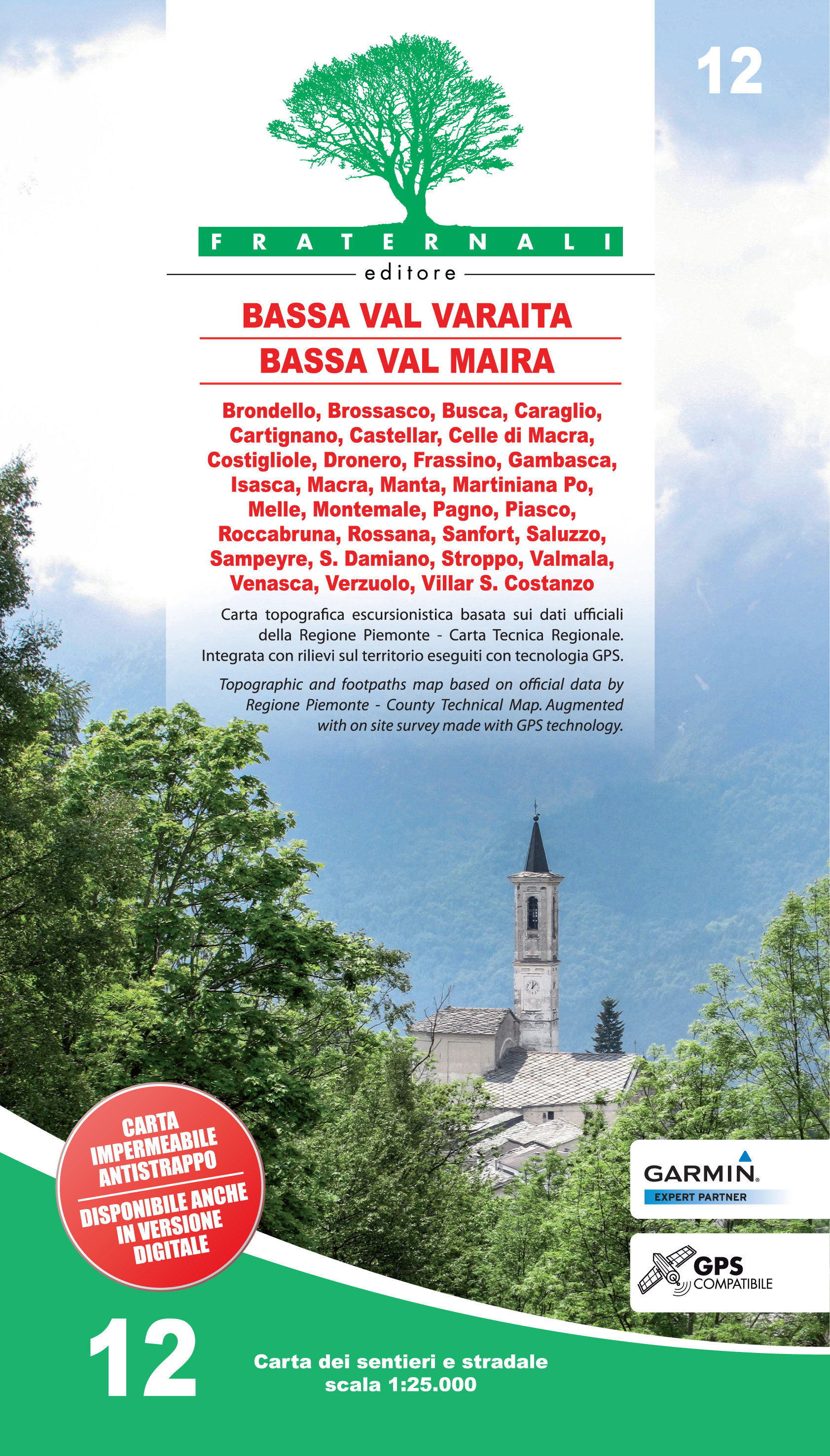
- Wandelkaart 12 Bassa Val Varaita - Bassa Val Maira | Fraternali Editore
- Gebied: Brondello, Brossasco, Busca, Caraglio, Cartignano, Castellar, Celle di Macra, Costigliole, Dronero, Frassino, Gambasca, Isasca, Macra, Manta, Martiniana Po, Melle, Montemale, Pagno, Piasco, Roccabruna, Rossana, Sanfront, Saluzzo, Sampeyre, S. Damiano, Stroppo, Valmala, Venasca, Verzuolo, Villar S. Costanzo Een uitstekende wandelkaart... Read more
- Also available from:
- Stanfords, United Kingdom

United Kingdom
- Bassa Valle Varaita - Bassa Valle Maira Fraternali Editore 12
- Bassa Valle Varaita - Bassa Valle Maira in the Italian Alps presented at 1:25,000 in a series of large, contoured and GPS compatible walking maps from Fraternali Editore, printed on light, waterproof and tear-resistant synthetic paper. Maps in this series have topography shown by contour lines at 5m intervals with relief shading, spot heights,... Read more

Netherlands
- Fietskaart - Wandelkaart 06 Oisans Champsaur - Massif des Ecrins | IGN - Institut Géographique National
- Ecrins Massif - Oisans - Champsaur region in a series of GPS compatible, contoured TOP 75 maps at 1:75,000 from the IGN, highlighting local and long-distance hiking paths, cycling routes and sites for other recreational activities. The map includes five large panels showing the areas around le Taillfer, le Sirac, Pic du Tourond, le Gragas, and... Read more
- Also available from:
- Stanfords, United Kingdom

United Kingdom
- Massif des Ecrins - Oisans - Champsaur IGN 75006
- Ecrins Massif - Oisans - Champsaur region in a series of GPS compatible, contoured TOP 75 maps at 1:75,000 from the IGN, highlighting local and long-distance hiking paths, cycling routes and sites for other recreational activities. The map includes five large panels showing the areas around le Taillfer, le Sirac, Pic du Tourond, le Gragas, and... Read more
Netherlands
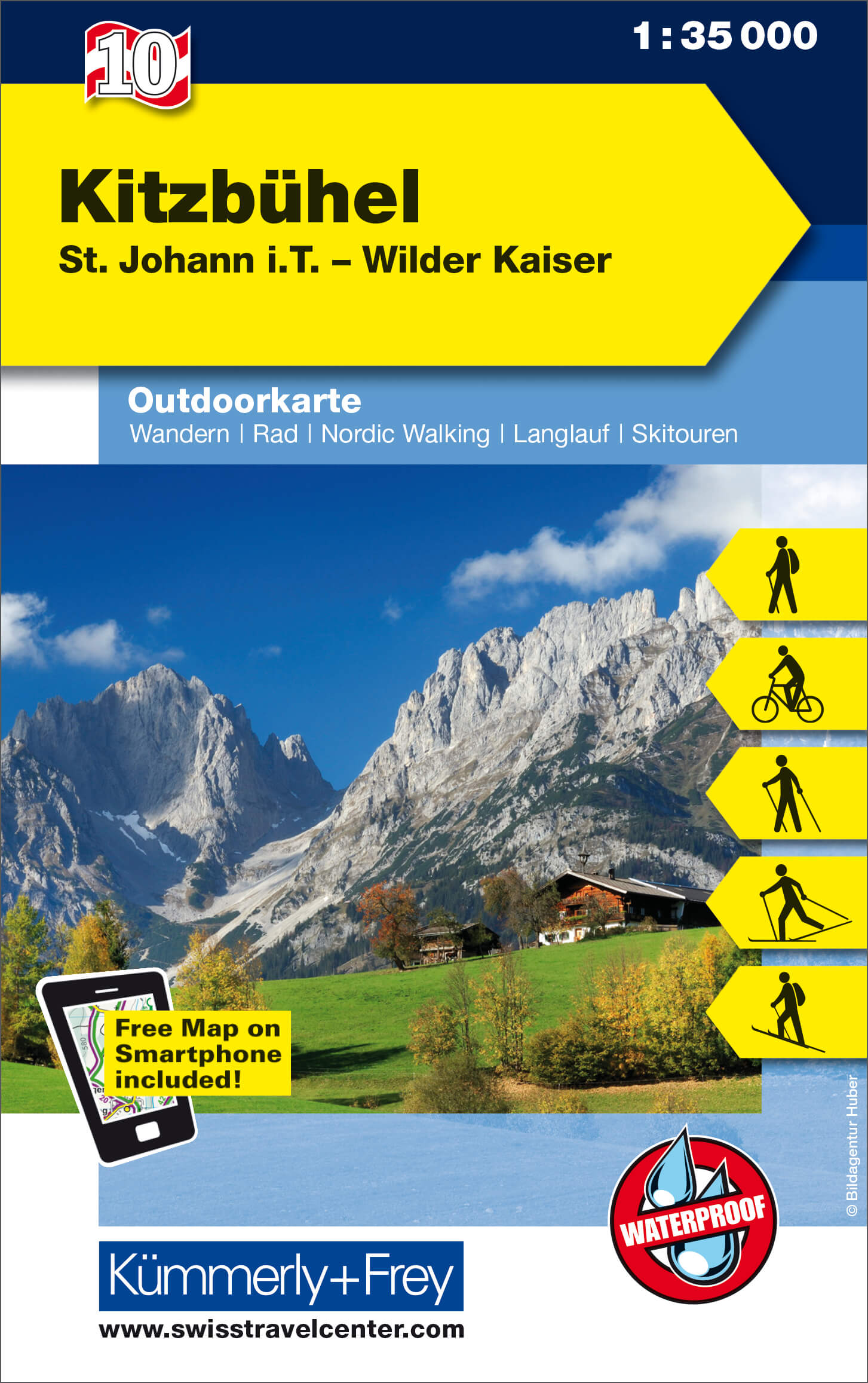
- Wandelkaart 10 Outdoorkarte AT Kitzbühel | Kümmerly & Frey
- Kitzbühel - St. Johann in Tirol - Wilder Kaiser area of the Tyrol at 1:50,000 on a GPS compatible, double-sided map from Kümmerly+Frey printed on sturdy, waterproof and tear-resistant synthetic paper; contoured, with hiking, cycling and ski routes, accommodation facilities, locations for other recreational activities, etc.Maps in the K+F... Read more
- Also available from:
- Stanfords, United Kingdom

United Kingdom
- Kitzbühel - St. Johann in Tirol - Wilder Kaiser K+F Outdoor Map 10
- Kitzbühel - St. Johann in Tirol - Wilder Kaiser area of the Tyrol at 1:50,000 on a GPS compatible, double-sided map from Kümmerly+Frey printed on sturdy, waterproof and tear-resistant synthetic paper; contoured, with hiking, cycling and ski routes, accommodation facilities, locations for other recreational activities, etc.Maps in the K+F... Read more
Netherlands
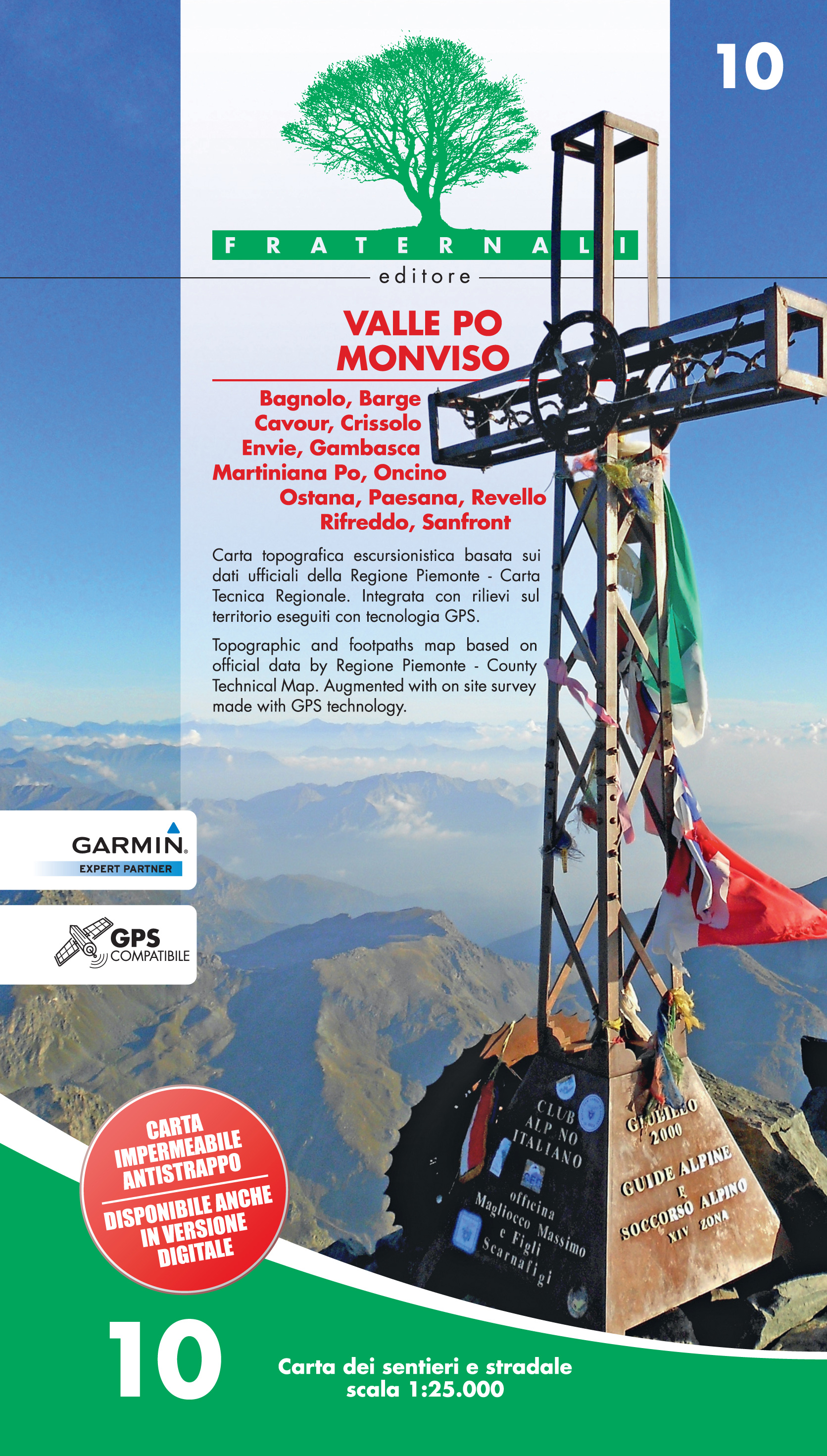
- Wandelkaart 10 Valle Po Monviso | Fraternali Editore
- Gebied: Bagnolo, Barge, Cavour, Crissolo, Envie, Gambasca, Martiniana Po, Oncino, Ostana, Paesana, Revello, Rifreddo, Sanfront Een uitstekende wandelkaart van de westkant van Italie waar tot voor kort geen echt goede kaarten beschikbaar waren. De lokale uitgeverij Fraternali heeft een prachtige serie gemaakt van wandelkaarten met schaal... Read more
- Also available from:
- Stanfords, United Kingdom
United Kingdom
- Valle Po - Monviso - Monte Bracco
- Valle Po - Monviso - Monte Bracco area of the Italian Alps presented at 1:25,000 in a series of large, contoured and GPS compatible walking maps from Fraternali Editore, printed on light, waterproof and tear-resistant synthetic paper. Maps in this series have topography shown by contour lines at 5m intervals with relief shading, spot heights,... Read more
Netherlands
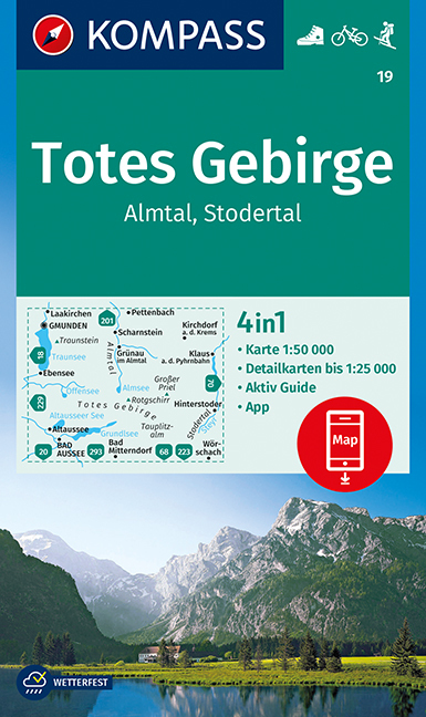
- Wandelkaart 19 Totes Gebirge | Kompass
- Almtal - Stodertal -Totes Gebirge (No. 19), a detailed, GPS compatible map at 1:50,000 from Kompass with local and long-distance footpaths, cycling routes, accommodation, etc, printed on durable, waterproof and tear-resistant synthetic paper. KOMPASS HIKING & RECREATIONAL MAPS:This title is part of an extensive series covering Austria, much of... Read more
- Also available from:
- Stanfords, United Kingdom

United Kingdom
- Totes Gebirge - Almtal - Stodertal Kompass 19
- Almtal - Stodertal -Totes Gebirge (No. 19), a detailed, GPS compatible map at 1:50,000 from Kompass with local and long-distance footpaths, cycling routes, accommodation, etc, printed on durable, waterproof and tear-resistant synthetic paper. KOMPASS HIKING & RECREATIONAL MAPS:This title is part of an extensive series covering Austria, much of... Read more

Netherlands
- Also available from:
- Stanfords, United Kingdom
United Kingdom
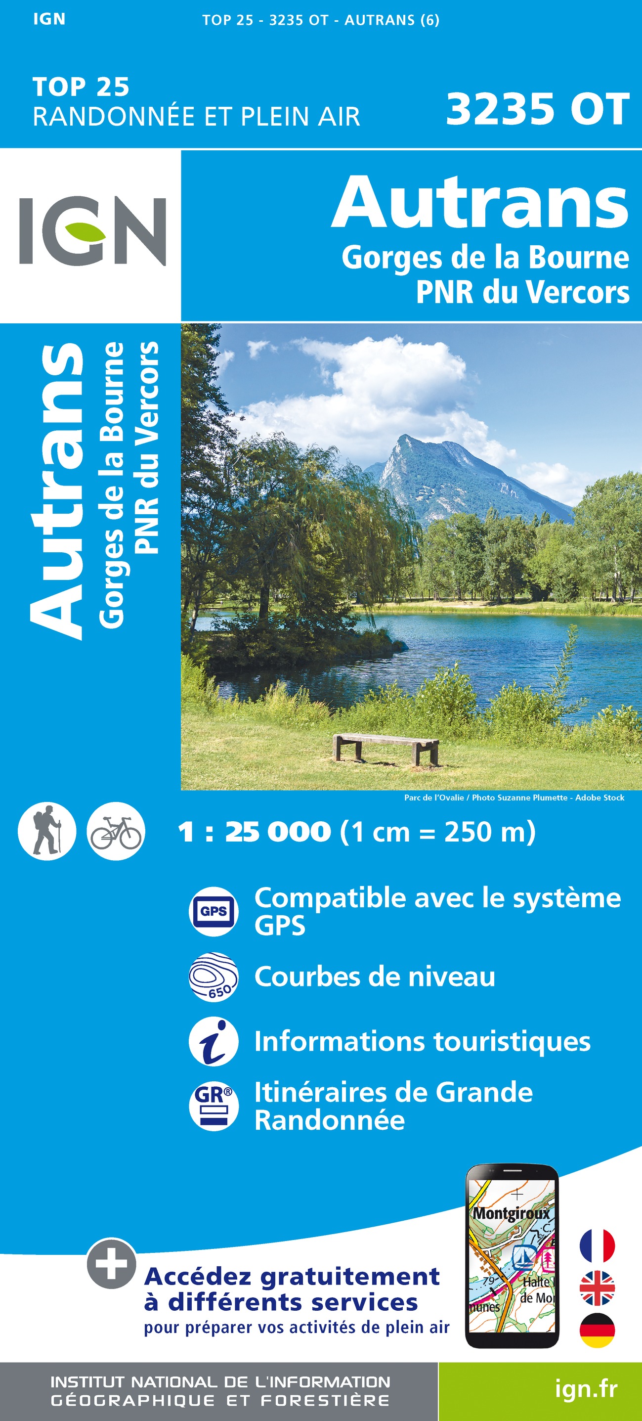
- Autrans - Gorges de la Bourne - PNR du Vercors IGN 3235OT
- Topographic survey of France at 1:25,000 in IGN`s excellent TOP25 / Série Bleue series. All the maps are GPS compatible, with a 1km UTM grid plus latitude and longitude lines at 5’ intervals. Contours are at 5m intervals except for mountainous areas where the maps have contours at 10m intervals, vividly enhanced by hill shading and graphics for... Read more