
Georgia
Beschrijving
The north of Georgia is mountainous. The Appalachian Trail starts here. Also, the Benton Mackaye Trail has 75 miles in the Chattahooche National Forest in the north, before it enters the state of Tennessee.
Georgia shares the 250 mile Pinhote Trail with Alabama.
Three long distance trails (will) run through Georgia. The Eastern Continental Trail, The East Coast Greenway and the Great Eastern Trail.
Kaart

Paden in deze landsdeel
Links
Feiten
Verslagen
Gidsen en kaarten
Overnachting
Organisaties
Reisorganisaties
GPS
Anders
Boeken
De Zwerver
Netherlands
2019
Netherlands
2019
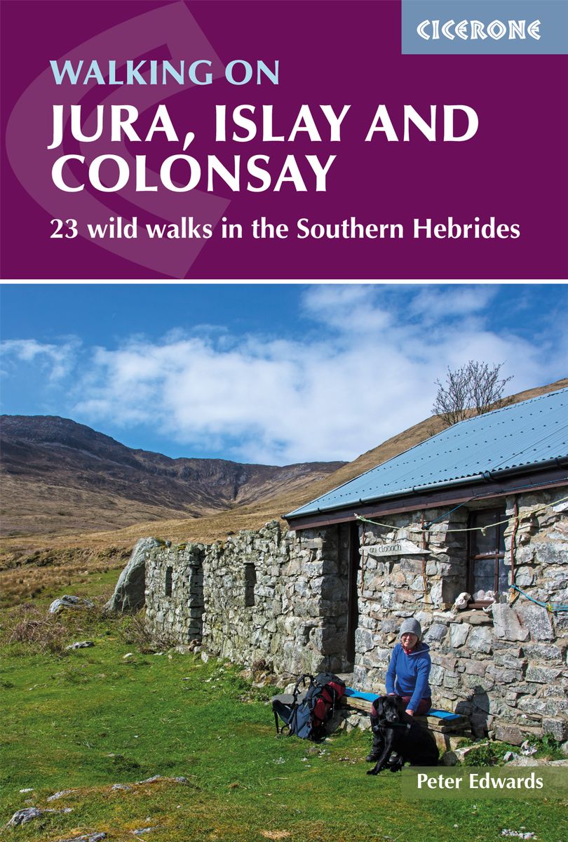
- Wandelgids Walking on Jura, Islay and Colonsay | Cicerone
- Guidebook to Jura, Scarba, Islay and Colonsay in the Hebrides, describing 22 walks plus a 5-day 89km trek along Jura's remote west coast. The routes range from 6.5 to 25km and cover rough - and often pathless - terrain suitable for fit, competent walkers. Even the coastal walks offer challenges. Read more
- Also available from:
- Stanfords, United Kingdom

Stanfords
United Kingdom
2019
United Kingdom
2019
- Walking on Jura, Islay and Colonsay: 23 wild walks in the Southern Hebrides
- This guidebook presents a selection of 23 walking routes on the wild and beautiful southern islands of Scotland`s Inner Hebrides, with nine walks on Jura, one on neighbouring Scarba, seven on Islay and five on Colonsay, plus a spectacular 5-day trek along Jura`s dramatic west coast. The wildest of the southern Hebrides, the walking on Jura is... Read more
De Zwerver
Netherlands
2018
Netherlands
2018
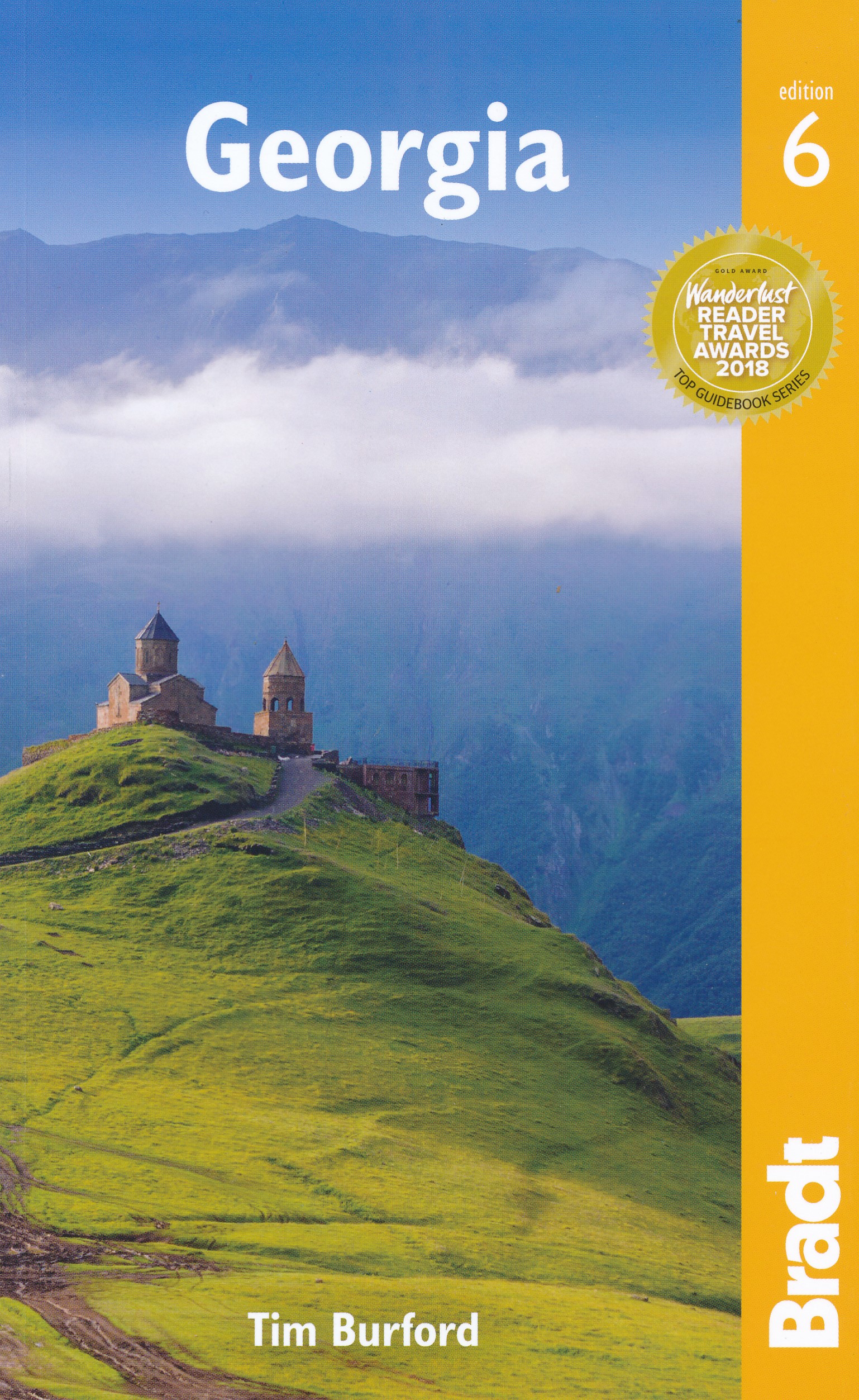
- Reisgids Georgia - Georgië | Bradt Travel Guides
- Georgia ab 18.49 EURO The Bradt Travel Guide. 6th revised edition Read more

De Zwerver
Netherlands
Netherlands
- Reisgids City Guide San Francisco | Insight Guides
- City Guide San Francisco:A fully-overhauled edition by our expert San Francisco author.Stunning photography brings this wonderful city and its people to life.Highlights of the city`s top attractions are covered in our Best of San Francisco section, broken down into categories like the best walks, the best bars and the best child-friendly... Read more
De Zwerver
Netherlands
2022
Netherlands
2022
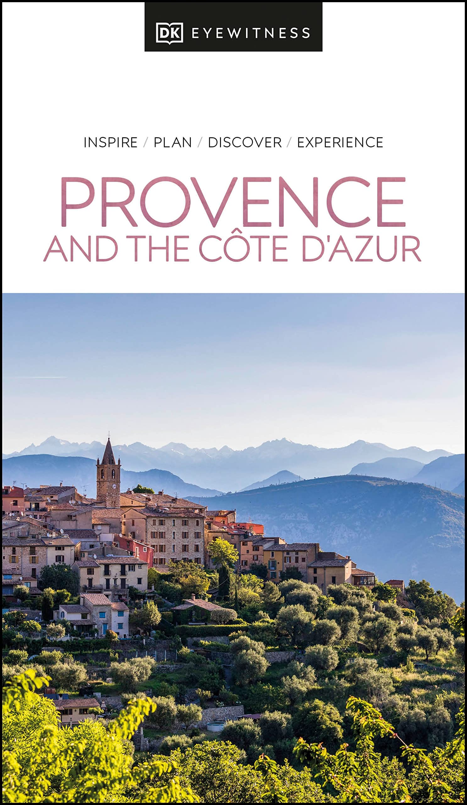
- Reisgids Eyewitness Travel Provence and the Cote d'Azur | Dorling Kindersley
- France`s most alluring region promises fragrant fields of lavender, incredible ancient relics and celebrated art collections.Whether you want to watch flocks of flamingos strutting across the wild wetlands of the Camargue, visit lush vineyards in the Rhone valley or simply soak up the sun in St-Tropez, your DK Eyewitness travel guide makes sure... Read more

De Zwerver
Netherlands
2020
Netherlands
2020
- Reisgids Eyewitness Travel Sweden - Zweden | Dorling Kindersley
- Your journey starts here. Featuring DK`s much-loved maps and illustrations, walks and information, plus all new, full-colour photography, this 100% updated guide to Sweden brings you the best of this spectacular country in a brand-new, lightweight format.What`s inside?- full-colour photography, hand-drawn illustrations, and maps throughout-... Read more

De Zwerver
Netherlands
2022
Netherlands
2022
- Reisgids Eyewitness Travel Denmark - Denemarken | Dorling Kindersley
- Enchanting villages, forward-thinking design and epic heritage - welcome to Denmark.Whether you want to adventure like a Viking, sample cutting-edge cuisine or practise the art of hygge, your DK Eyewitness travel guide makes sure you experience all that Denmark has to offer.From the captivating cities to the far-flung corners, each region of... Read more


De Zwerver
Netherlands
2018
Netherlands
2018
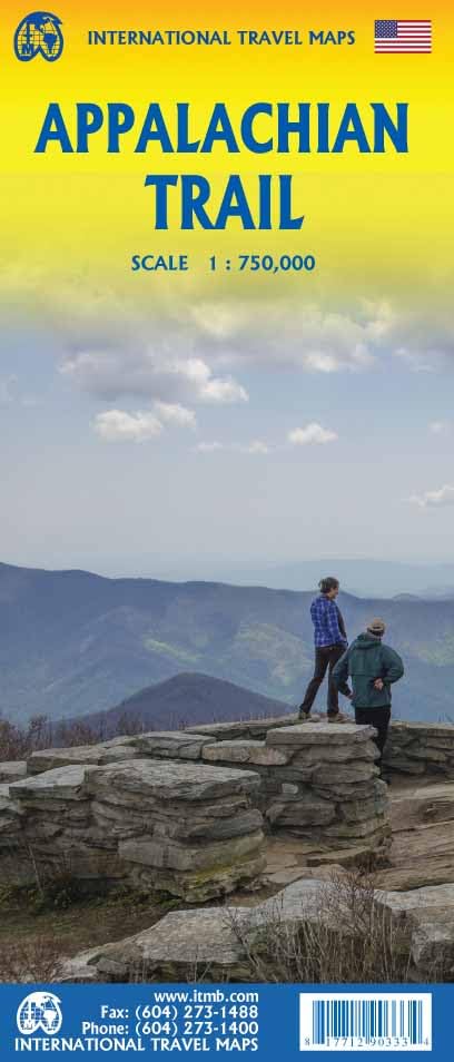
- Wandelgids USA: Appalachian Trail | Conrad Stein Verlag
- Handzame overzichtsgids van deze geweldige en uitdagende lange afstands wandeling in het oosten van de USA: de Appalachian Trail. Het is een ideale gids om de hele tocht voor te bereiden en als basisgids bij je te hebben. Goede beschrijvingen van etappes en veel praktische informatie. Het enige wat mager is zijn dekaarten: goed voor overzicht... Read more

De Zwerver
Netherlands
2022
Netherlands
2022
- Reisgids Eyewitness Travel Jerusalem, Israel and the Palestinian Territories | Dorling Kindersley
- Discover serene sacred sights and bustling Bauhaus boulevards.Whether you want to float in the Dead Sea, visit the ruby-colored city of Petra, or tuck into Tel-Aviv`s sumptuous food scene, your DK Eyewitness travel guide makes sure you experience all that Jerusalem, Israel and the Palestinian territories have to offer.Imbued with a fascinating... Read more
De Zwerver
Netherlands
2022
Netherlands
2022
- Reisgids Eyewitness Travel USA- Canada the Pacific Northwest | Dorling Kindersley
- Marrying vibrant cities with impeccable wilderness, the Pacific Northwest is as rich as it is diverse.Whether you want to drive along epic coastal highways, hike the pristine paths of Yoho National Park, or tuck into succulent street food in Portland, your DK Eyewitness travel guide makes sure you experience all that the Pacific Northwest has... Read more
De Zwerver
Netherlands
2021
Netherlands
2021
- Reisgids road trips France - Frankrijk | Eyewitness
- Take your time with Road Trips France and discover 24 leisurely drives through the country`s beautiful towns and stunning landscapes. Driving through France is the perfect way to appreciate its amazing diversity - craggy mountains and wild coastlines, tranquil valleys and ancient hilltop villages. Packed with practical information, detailed... Read more
De Zwerver
Netherlands
2019
Netherlands
2019
- Reisgids Slow Travel Northumberland | Bradt Travel Guides
- This new, thoroughly updated second edition of Bradt`s best-selling, comprehensive guide to Northumberland including Newcastle, Hadrian`s Wall & the Coast remains the reliable source of information for discovering the far northeast of England, an area which is home to Europe`s largest area of protected night sky - and England`s first Dark Sky... Read more
De Zwerver
Netherlands
2024
Netherlands
2024
De Zwerver
Netherlands
2019
Netherlands
2019
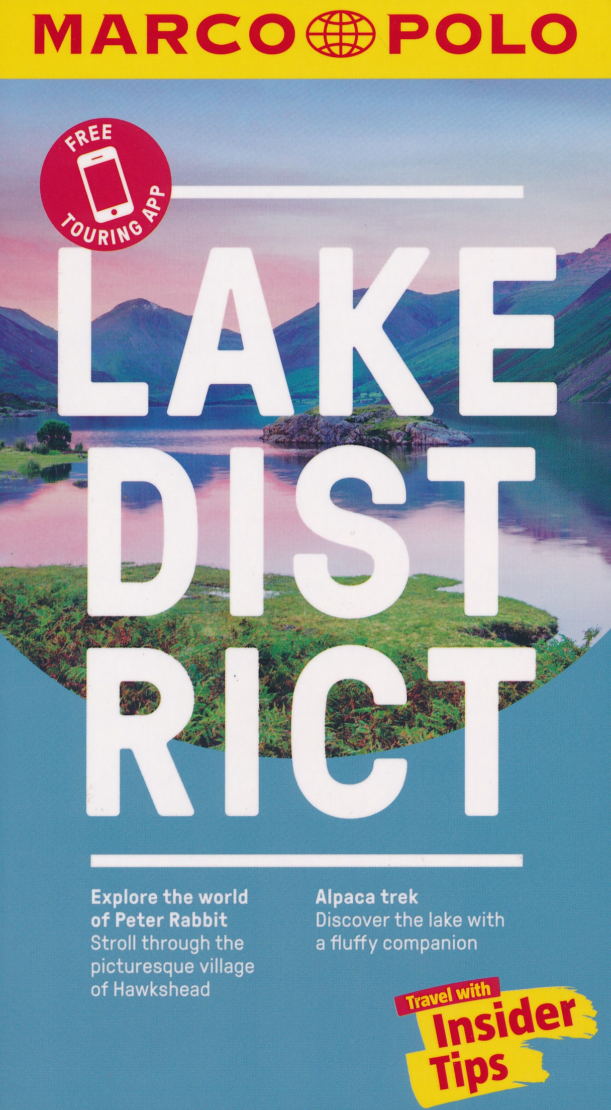
- Reisgids Marco Polo ENG Lake District | MairDumont
- Marco Polo Pocket Guide Lake District: the Travel Guide with Insider TipsExplore the Lake District with this handy, pocket-sized, authoritative guide, packed with Insider Tips. Discover boutique hotels, authentic restaurants, the region`s trendiest places, and get tips on shopping and what to do on a limited budget. There are plenty of ideas... Read more
Kaarten

De Zwerver
Netherlands
2019
Netherlands
2019
- Reisgids Iceland Road Guide | Vegahandbokin
- Iceland Road Guide from Vegahandbókin, an exceptionally comprehensive, 605-page guide with region-by-region descriptions of sites accompanied by road maps and street plans, plus a separate road atlas section covering the whole country at 1:500,000 and information on a wide variety of tourism relating topics to help the user get the best of... Read more
- Also available from:
- Stanfords, United Kingdom

Stanfords
United Kingdom
2019
United Kingdom
2019
- Iceland Road Guide
- Iceland Road Guide from Vegahandbókin, an exceptionally comprehensive, 605-page guide with region-by-region descriptions of sites accompanied by road maps and street plans, plus a separate road atlas section covering the whole country at 1:500,000 and information on a wide variety of tourism relating topics to help the user get the best of... Read more
De Zwerver
Netherlands
Netherlands
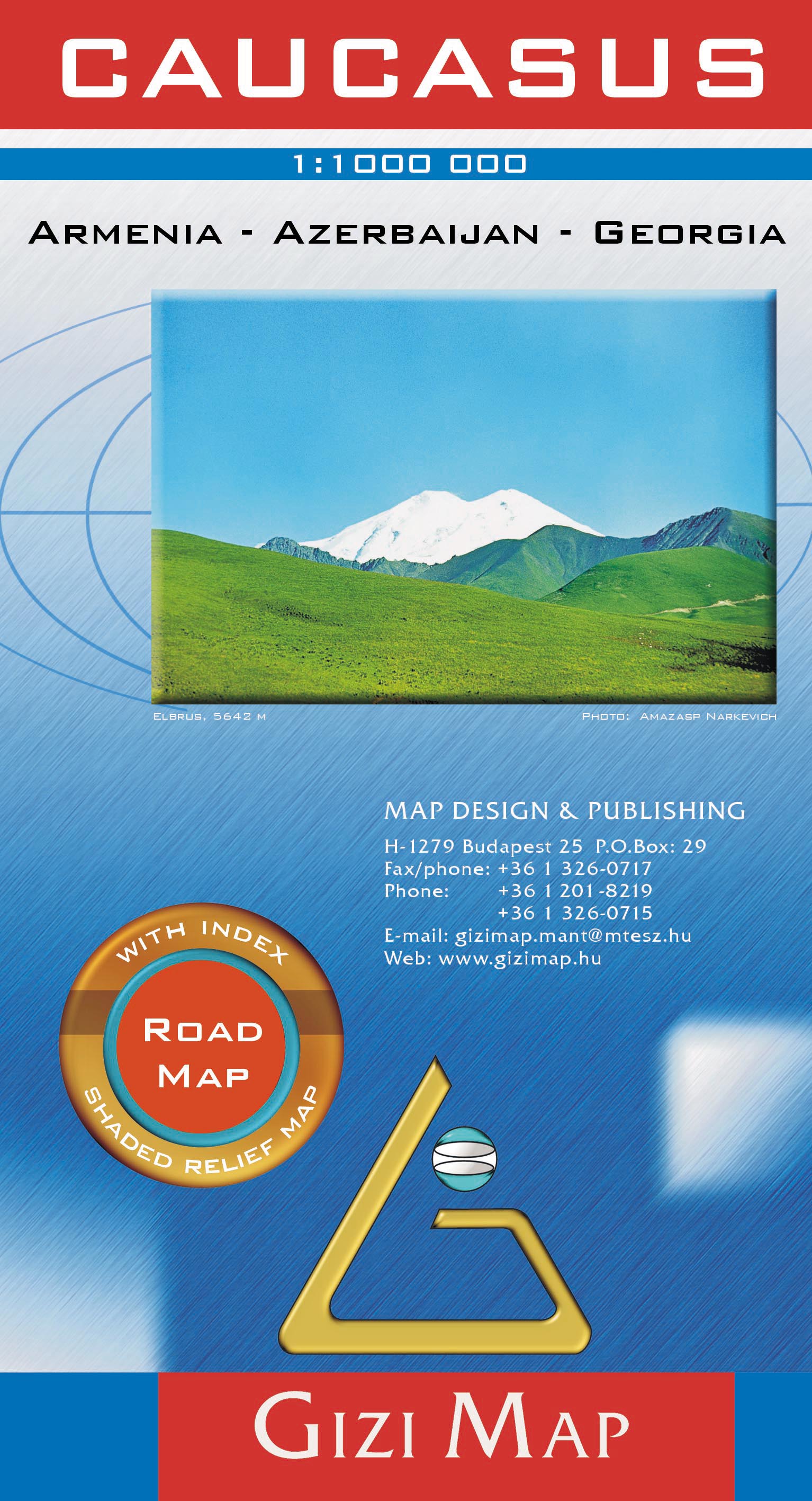
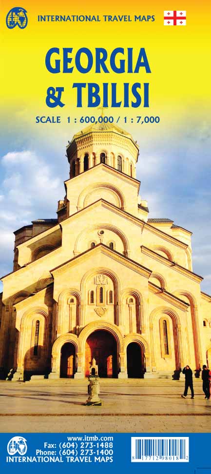
- Wegenkaart - landkaart Kaukasus - Caucasus | Gizi Map
- Caucasus Road Map 1 : 1 000 000 ab 11.95 EURO Armenia, Georgia, Azerbaijan Gizi Map. new edition Read more
De Zwerver
Netherlands
Netherlands
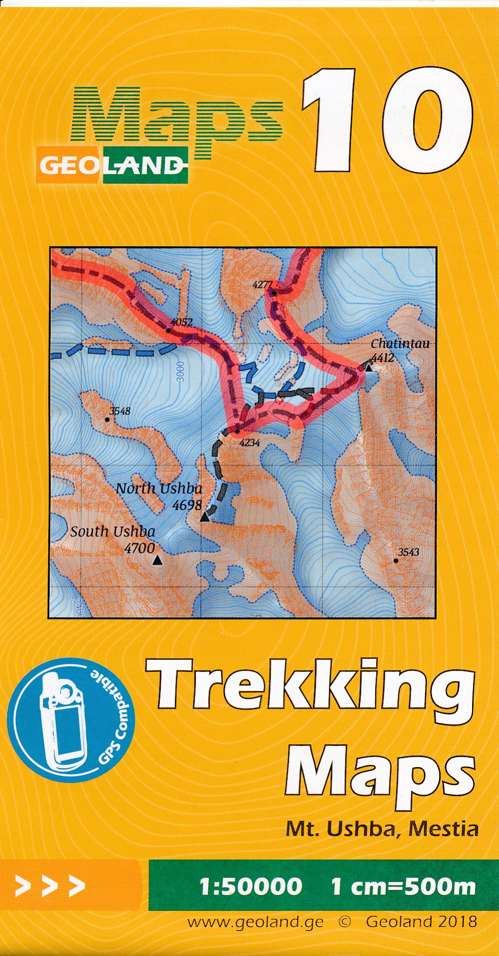
- Wandelkaart - Topografische kaart 10 Mt. Ushba - Mestia | Geoland
- Mt Ushba - Mestia area of the Caucasus Mountains in Georgia at 1:50,000 on a double-sided, contoured and GPS compatible map from Geoplan, with an overprint providing tourist information including local accommodation and sights. This is the PAPER edition of the map, which is also available in a waterproof and tear-resistant version.Maps in this... Read more
- Also available from:
- Stanfords, United Kingdom

Stanfords
United Kingdom
United Kingdom
- Mt Ushba - Mestia Geoland 10
- Mt Ushba - Mestia area of the Caucasus Mountains in Georgia at 1:50,000 on a double-sided, contoured and GPS compatible map from Geoplan, with an overprint providing tourist information including local accommodation and sights. This is the PAPER edition of the map, which is also available in a waterproof and tear-resistant version.Maps in this... Read more
De Zwerver
Netherlands
Netherlands
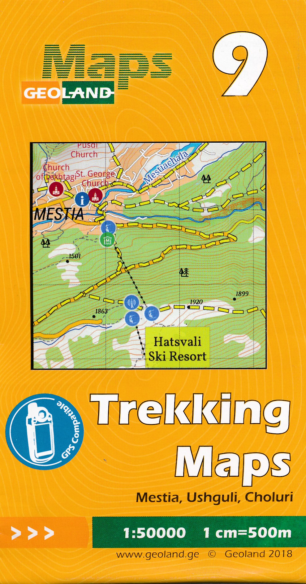
- Wandelkaart - Topografische kaart 09 Mestia - Ushguli - Choluri | Geoland
- Mestia - Ushguli - Lashkheti area of the Caucasus Mountains in Georgia at 1:50,000 on a double-sided, contoured and GPS compatible map from Geoplan, with an overprint providing tourist information including local accommodation and sights. This is the PAPER edition of the map, which is also available in a waterproof and tear-resistant... Read more
- Also available from:
- Stanfords, United Kingdom

Stanfords
United Kingdom
United Kingdom
- Mestia - Ushguli - Lashkheti Geoland 9
- Mestia - Ushguli - Lashkheti area of the Caucasus Mountains in Georgia at 1:50,000 on a double-sided, contoured and GPS compatible map from Geoplan, with an overprint providing tourist information including local accommodation and sights. This is the PAPER edition of the map, which is also available in a waterproof and tear-resistant... Read more
De Zwerver
Netherlands
Netherlands
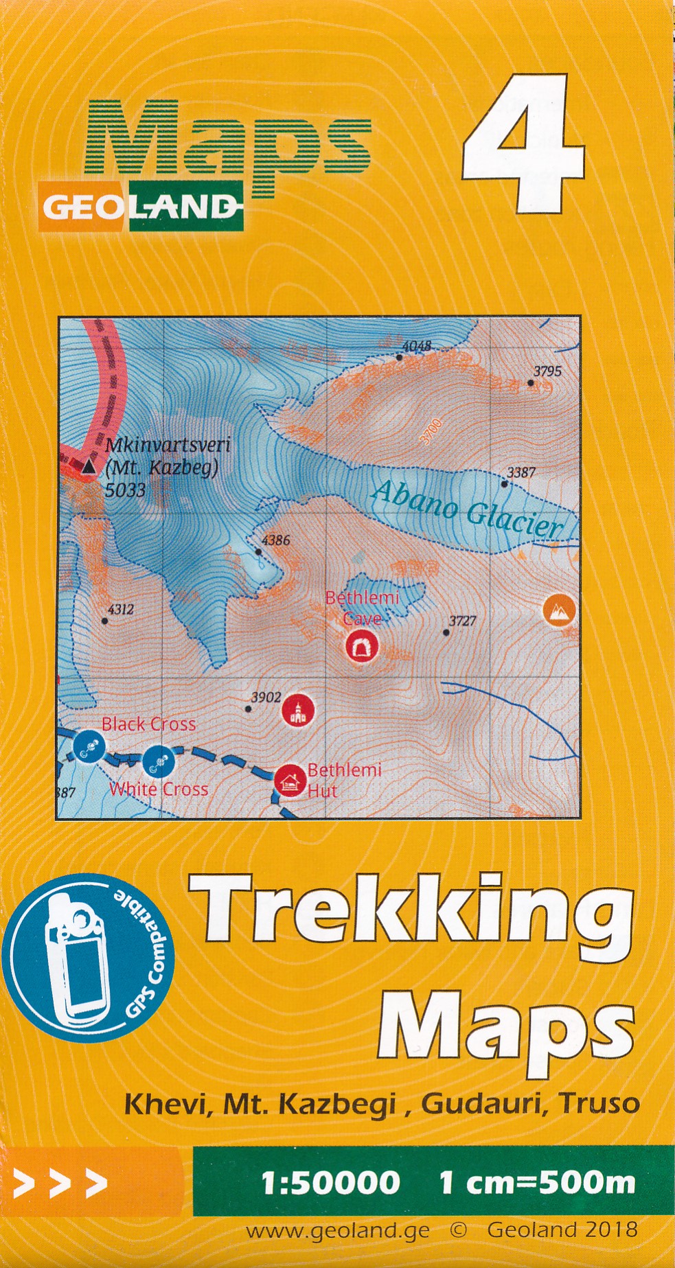
- Wandelkaart - Topografische kaart 04 Khevi - Mt. Kazbegi - Gudauri - Truso | Geoland
- Khevi - Mt. Kazbegi - Gudauri - Truso area of the Caucasus Mountains in Georgia at 1:50,000 on a double-sided, contoured and GPS compatible map from Geoplan, with an overprint providing tourist information including local accommodation and sights. This is the PAPER edition of the map, which is also available in a waterproof and tear-resistant... Read more
- Also available from:
- Stanfords, United Kingdom

Stanfords
United Kingdom
United Kingdom
- Khevi - Mt. Kazbegi - Gudauri - Truso Geoland 4
- Khevi - Mt. Kazbegi - Gudauri - Truso area of the Caucasus Mountains in Georgia at 1:50,000 on a double-sided, contoured and GPS compatible map from Geoplan, with an overprint providing tourist information including local accommodation and sights. This is the PAPER edition of the map, which is also available in a waterproof and tear-resistant... Read more
De Zwerver
Netherlands
Netherlands
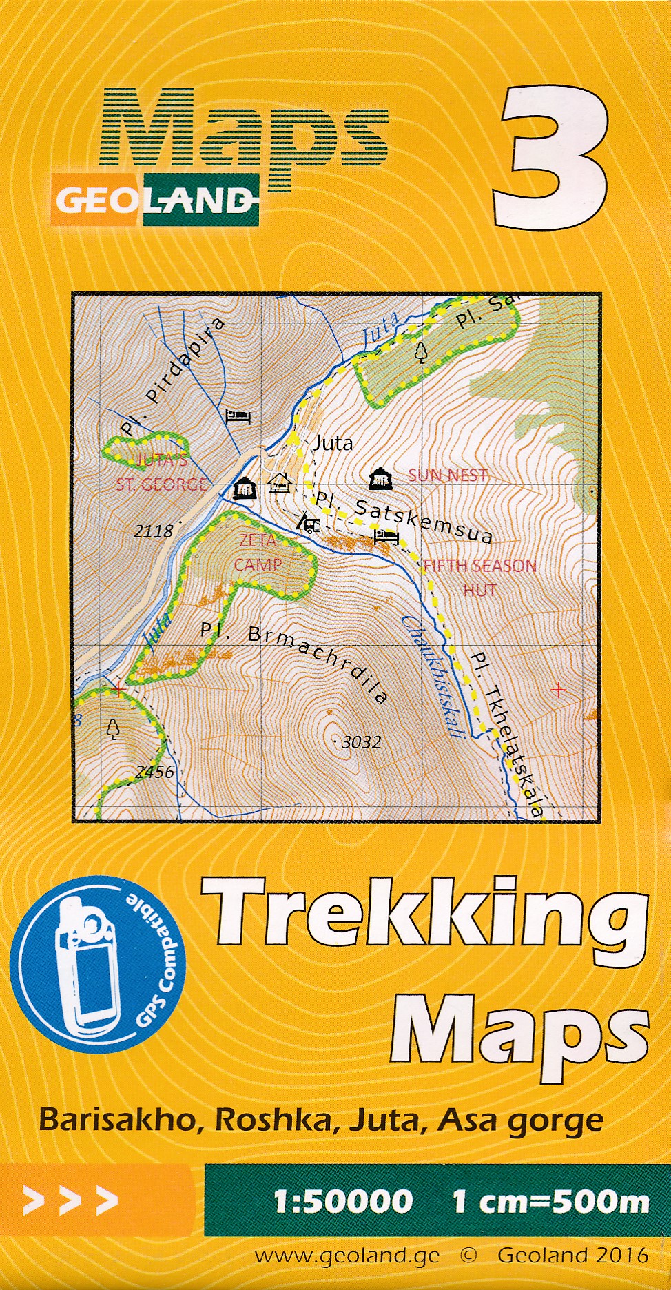
- Wandelkaart - Topografische kaart 03 Barisakho - Roshka - Juta - Asa Gorge | Geoland
- Barisakho - Roshka - Juta - Asa Gorge area of the Caucasus Mountains in Georgia at 1:50,000 on a double-sided, contoured and GPS compatible map from Geoplan, with an overprint providing tourist information including local accommodation and sights. This is the PAPER edition of the map, which is also available in a waterproof and tear-resistant... Read more
- Also available from:
- Stanfords, United Kingdom

Stanfords
United Kingdom
United Kingdom
- Barisakho - Roshka - Juta - Asa Gorge Geoland 3
- Barisakho - Roshka - Juta - Asa Gorge area of the Caucasus Mountains in Georgia at 1:50,000 on a double-sided, contoured and GPS compatible map from Geoplan, with an overprint providing tourist information including local accommodation and sights. This is the PAPER edition of the map, which is also available in a waterproof and tear-resistant... Read more
De Zwerver
Netherlands
Netherlands
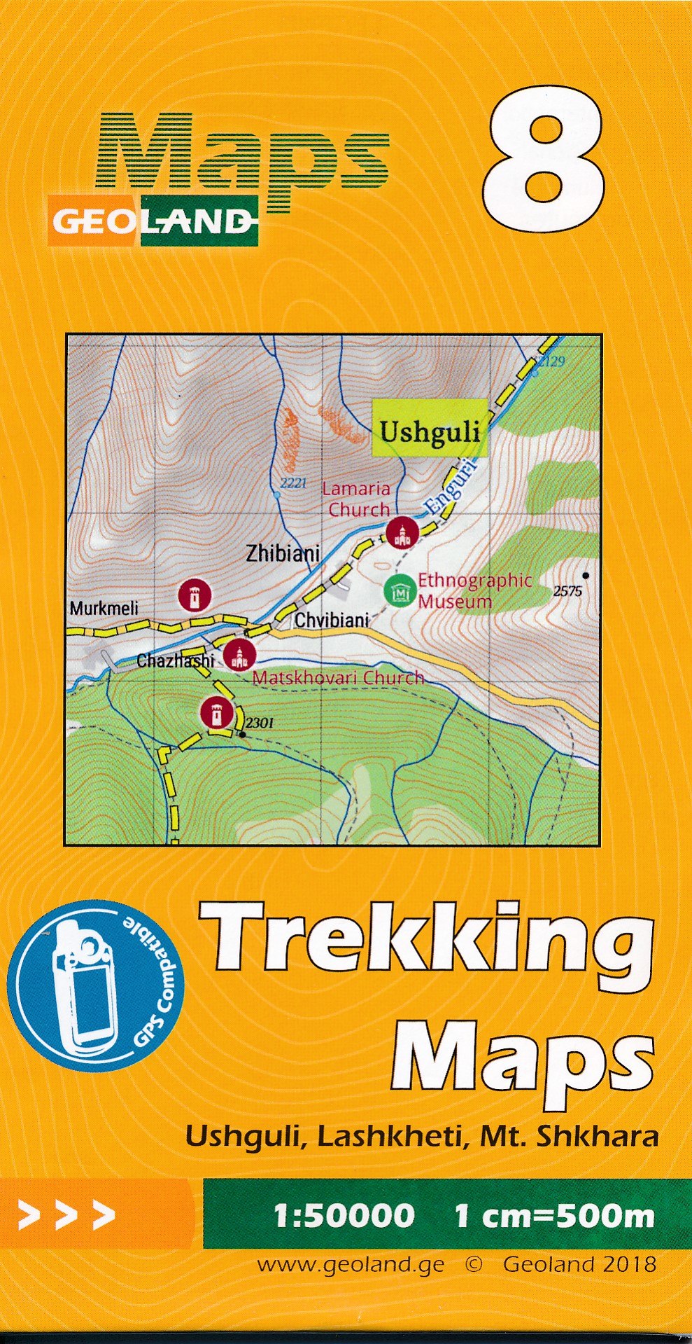
- Wandelkaart - Topografische kaart 08 Ushguli - Lashkheti - Mt. Shkhara | Geoland
- Ushguli - Lashkheti - Mt.Shkhara area of the Caucasus Mountains in Georgia at 1:50,000 on a double-sided, contoured and GPS compatible map from Geoplan, with an overprint providing tourist information including local accommodation and sights.Maps in this series have contours at 20m intervals, with additional relief shading and numerous spot... Read more
- Also available from:
- Stanfords, United Kingdom

Stanfords
United Kingdom
United Kingdom
- Ushguli - Lashkheti - Mt.Shkhara Geoland 8
- Ushguli - Lashkheti - Mt.Shkhara area of the Caucasus Mountains in Georgia at 1:50,000 on a double-sided, contoured and GPS compatible map from Geoplan, with an overprint providing tourist information including local accommodation and sights.Maps in this series have contours at 20m intervals, with additional relief shading and numerous spot... Read more


De Zwerver
Netherlands
Netherlands
- Wandelkaart - Topografische kaart 219 Bryce Canyon National Park | National Geographic
- Prachtige geplastificeerde kaart van het bekende nationaal park. Met alle recreatieve voorzieningen als campsites, maar ook met topografische details en wandelroutes ed. Door uitgekiend kleurgebruik zeer prettig in gebruik. Scheur en watervast! This informative Trails Illustrated map will help you plan trips and explore the area in and around... Read more
- Also available from:
- Bol.com, Netherlands
- Bol.com, Belgium
- Stanfords, United Kingdom
- The Book Depository, United Kingdom

Bol.com
Netherlands
Netherlands
- Bryce Canyon National Park
- Waterproof Tear-Resistant Topographic MapNational Geographic's Trails Illustrated map of Bryce Canyon National Park is designed to meet the needs of outdoor enthusiasts by combining valuable information with unmatched detail of this unique landscape of hoodoos and forest. Created in partnership with local land management agencies, this... Read more
Bol.com
Belgium
Belgium
- Bryce Canyon National Park
- Waterproof Tear-Resistant Topographic MapNational Geographic's Trails Illustrated map of Bryce Canyon National Park is designed to meet the needs of outdoor enthusiasts by combining valuable information with unmatched detail of this unique landscape of hoodoos and forest. Created in partnership with local land management agencies, this... Read more

Stanfords
United Kingdom
United Kingdom
- Bryce Canyon National Park UT NGS Trails Illustrated Map 219
- Map No. 219, Bryce Canyon National Park, UT, in an extensive series of GPS compatible, contoured hiking maps of USA’s national and state parks or forests and other popular recreational areas. Cartography based on the national topographic survey, with additional tourist information.The maps, with most titles now printed on light, waterproof and... Read more

The Book Depository
United Kingdom
United Kingdom
- Bryce Canyon National Park
- Trails Illustrated National Parks Read more

Bol.com
Netherlands
Netherlands
- Wales Mountain Biking
- Wales Mountain Biking is the 12th title in Vertebrate Publishing's bestselling series of UK mountain biking guidebooks. This book showcases 20 routes in Wales, between 12km and 50km in length, suitable for all levels of mountain bikers. Split into three sections, South Wales, Mid Wales and North Wales, this book includes classic loops in the... Read more
- Also available from:
- Bol.com, Belgium
- Stanfords, United Kingdom
Bol.com
Belgium
Belgium
- Wales Mountain Biking
- Wales Mountain Biking is the 12th title in Vertebrate Publishing's bestselling series of UK mountain biking guidebooks. This book showcases 20 routes in Wales, between 12km and 50km in length, suitable for all levels of mountain bikers. Split into three sections, South Wales, Mid Wales and North Wales, this book includes classic loops in the... Read more

Stanfords
United Kingdom
United Kingdom
- Wales Mountain Biking
- Vertebrate’s guide to mountain biking in Wales covers 20 recommended mountain bike trails, routes and rides ranging from 12km to 50km. The routes themselves have been devised and tested by local riders to help you get the very best out of the Welsh trails.Each route is described with easy-to-follow instructions, information on difficulty,... Read more

De Zwerver
Netherlands
Netherlands
- Wandelkaart - Topografische kaart 318 Mount Rogers High Country - Grayson Highlands State Park | National Geographic
- Prachtige geplastificeerde kaart van het bekende nationaal park. Met alle recreatieve voorzieningen als campsites, maar ook met topografische details en wandelroutes ed. Door uitgekiend kleurgebruik zeer prettig in gebruik. Scheur en watervast! National Geographic's Trails Illustrated map of Mount Rogers High Country and Grayson Highlands... Read more
- Also available from:
- Bol.com, Netherlands
- Bol.com, Belgium
- Stanfords, United Kingdom
- The Book Depository, United Kingdom

Bol.com
Netherlands
Netherlands
- Mount Rogers High Country
- Waterproof Tear-Resistant Topographic MapNational Geographic's Trails Illustrated map of Mount Rogers High Country and Grayson Highlands State Park, Southwest Virginia, is a two-sided, waterproof, topographic trail map designed to meet the needs of outdoor enthusiasts with unmatched durability and detail. This map was created in... Read more
Bol.com
Belgium
Belgium
- Mount Rogers High Country
- Waterproof Tear-Resistant Topographic MapNational Geographic's Trails Illustrated map of Mount Rogers High Country and Grayson Highlands State Park, Southwest Virginia, is a two-sided, waterproof, topographic trail map designed to meet the needs of outdoor enthusiasts with unmatched durability and detail. This map was created in... Read more

Stanfords
United Kingdom
United Kingdom
- Mount Rogers High Country VA
- Map No. 318 - Mount Rogers High Country in Virginia in an extensive series of GPS compatible, contoured hiking maps of USA’s national and state parks or forests and other popular recreational areas. Cartography based on the national topographic survey, with additional tourist information.The maps, with most titles now printed on light,... Read more

The Book Depository
United Kingdom
United Kingdom
- Mount Rogers High Country
- Trails Illustrated Other Rec. Areas Read more