
Auvergne
Beschrijving

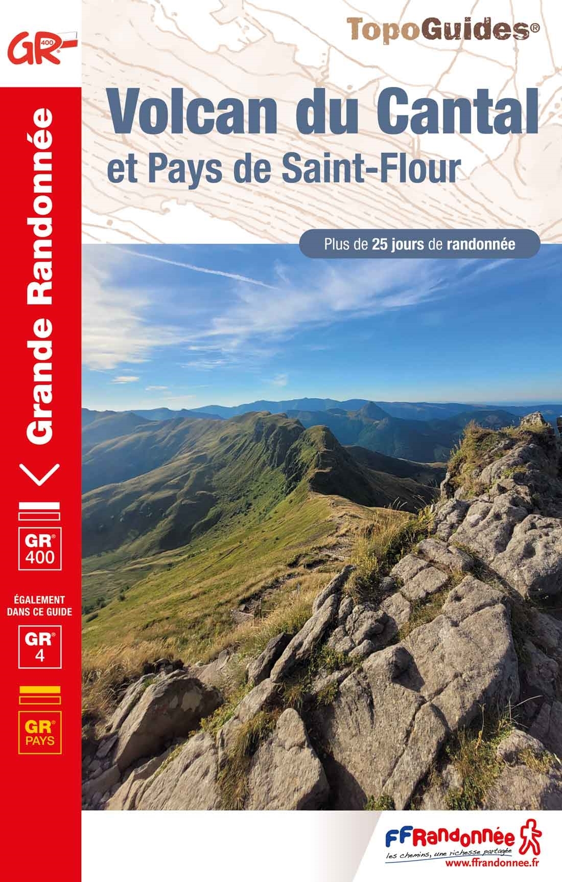
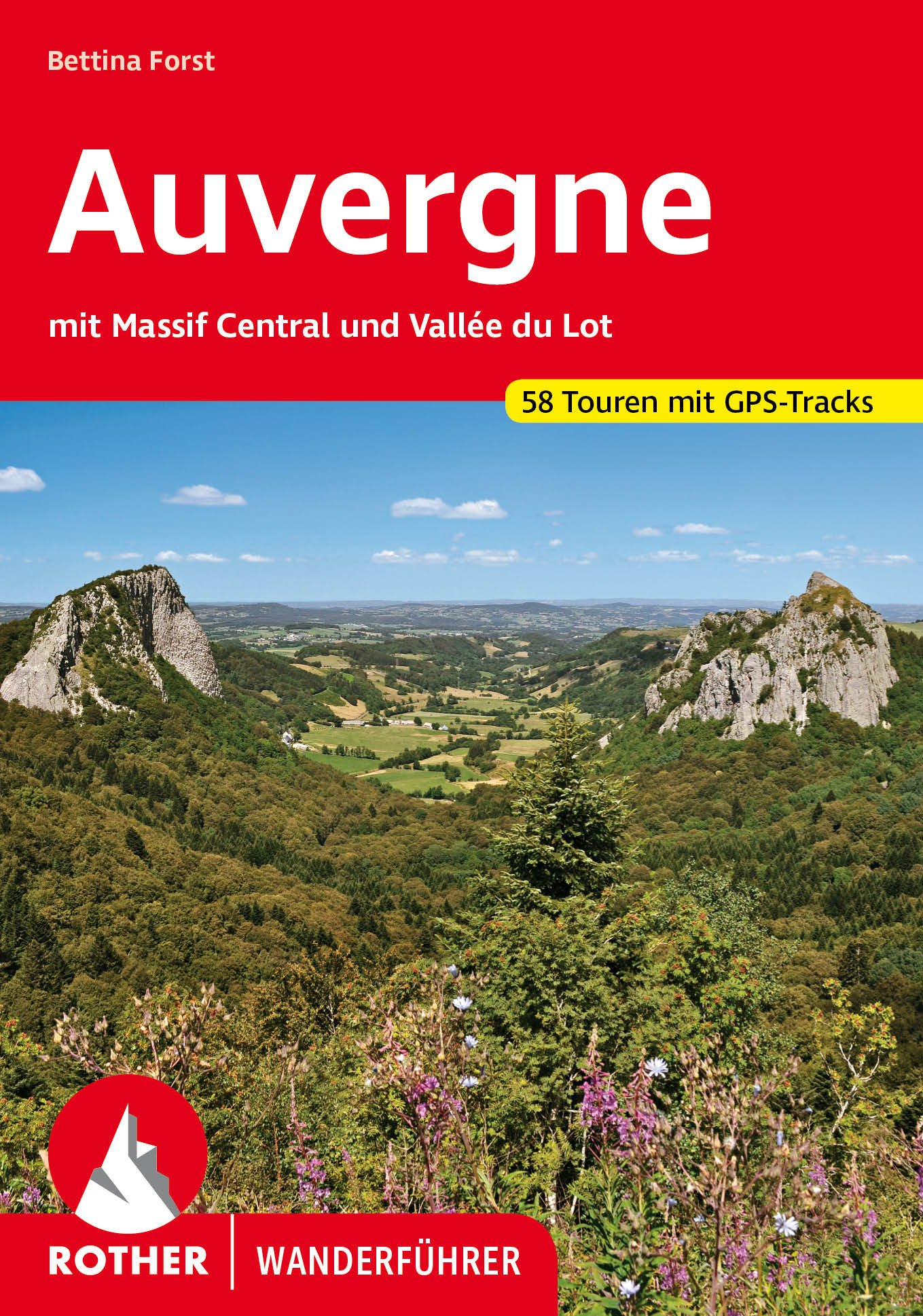
The Auvergne is a extensive region, comprising the Massif Central. Quiet and rural, it has many attractions for the hiker. Well known are the volcanic areas south of Clermont-Ferrand. Though not fuming any more, the volcanic shapes are very well recognisable.
Kaart

Paden in deze regio
Links
Feiten
Verslagen
Gidsen en kaarten
Overnachting
Organisaties
Reisorganisaties
GPS
Anders
Boeken
De Zwerver
Netherlands
2023
Netherlands
2023
De Zwerver
Netherlands
2022
Netherlands
2022
- Wandelgids 246 Auvergne en Massif Central - Vallée du Lot | Rother Bergverlag
- Uitstekende wandelgids met een groot aantal dagtochten in dal en hooggebergte. Met praktische informatie en beperkt kaartmateriaal! Wandelingen in verschillende zwaarte weergegeven in rood/blauw/zwart. Die Auvergne mit dem Massif Central bildet das wilde, grüne Herz Frankreichs. Abseits von Touristenströmen und Autorouten konnte diese... Read more
De Zwerver
Netherlands
2021
Netherlands
2021
De Zwerver
Netherlands
2017
Netherlands
2017
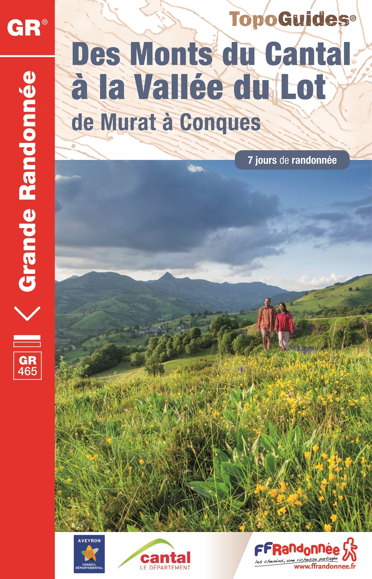
- Wandelgids 465 Des Monts du Cantal à la vallée du Lot GR465 | FFRP
- Uitstekende wandelgids met gedetailleerde kaarten en een routebeschrijving. Fout lopen wordt op deze manier wel erg moeilijk. Met symbolen is weergegeven welke voorzieningen (openbaar vervoer / winkels / overnachtingen) er zijn langs of bij de route. Een nadeel is dat de daadwerkelijke adressen dan weer niet altijd genoemd worden. Alle gidsen... Read more
De Zwerver
Netherlands
2020
Netherlands
2020

De Zwerver
Netherlands
Netherlands
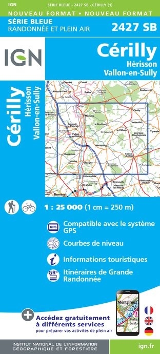
- Topografische kaart - Wandelkaart 2427SB Cérilly | IGN - Institut Géographique National
- L'indispensable carte de randonnée IGN. A conserver dans son sac à dos Read more
- Also available from:
- Stanfords, United Kingdom

Stanfords
United Kingdom
United Kingdom
- Cerilly - Herisson - Vallon-en-Sully IGN 2427SB
- L'indispensable carte de randonnée IGN. A conserver dans son sac à dos Read more
De Zwerver
Netherlands
Netherlands
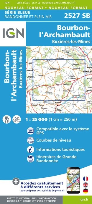
- Topografische kaart - Wandelkaart 2527SB Bourbon-l'Archambault | IGN - Institut Géographique National
- L'indispensable carte de randonnée IGN aux alentours de Bourbon-l'Archambault / Buxières-les-Mines. A conserver dans son sac à dos Read more
- Also available from:
- Stanfords, United Kingdom

Stanfords
United Kingdom
United Kingdom
- Bourbon-l`Archambault - Buxieres-les-Mines IGN 2527SB
- L'indispensable carte de randonnée IGN aux alentours de Bourbon-l'Archambault / Buxières-les-Mines. A conserver dans son sac à dos Read more
Bol.com
Netherlands
Netherlands
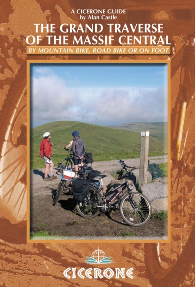
- The Grand Traverse of the Massif Central
- A guide to mountainbiking, cycling or walking the GTMC, Grande Traversee du Massif Central, in southern France, from Clermont-Ferrand in the Auvergne to Montpellier and Sete on the Mediterranean. The GTMC is a long-distance mountain biking trail that crosses the entire Massif Central in France visiting all of the major regions, including the... Read more
- Also available from:
- Bol.com, Belgium
- The Book Depository, United Kingdom
Bol.com
Belgium
Belgium
- The Grand Traverse of the Massif Central
- A guide to mountainbiking, cycling or walking the GTMC, Grande Traversee du Massif Central, in southern France, from Clermont-Ferrand in the Auvergne to Montpellier and Sete on the Mediterranean. The GTMC is a long-distance mountain biking trail that crosses the entire Massif Central in France visiting all of the major regions, including the... Read more

The Book Depository
United Kingdom
United Kingdom
- The Grand Traverse of the Massif Central
- by mountain bike, road bike or on foot Read more
Bol.com
Netherlands
Netherlands
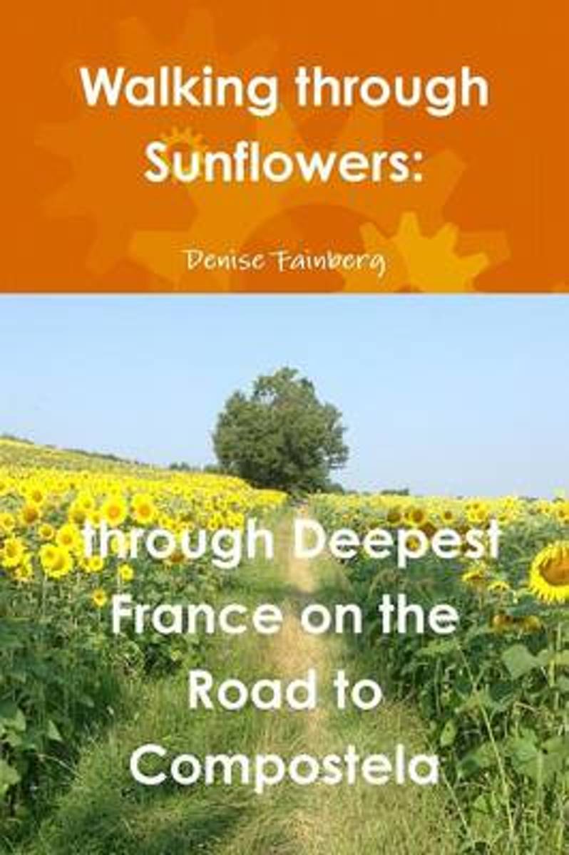
- Walking Through Sunflowers
- Inspired by walking the famous Camino de Santiago, teacher and travel writer Denise Fainberg and companion Patrick Roberts undertook to walk one of the ancient pilgrimage routes running across France toward the same shrine of St. James in northwestern Spain. Walking through Sunflowers: across Deepest France on the Road to Compostela is the... Read more
- Also available from:
- Bol.com, Belgium
Bol.com
Belgium
Belgium
- Walking Through Sunflowers
- Inspired by walking the famous Camino de Santiago, teacher and travel writer Denise Fainberg and companion Patrick Roberts undertook to walk one of the ancient pilgrimage routes running across France toward the same shrine of St. James in northwestern Spain. Walking through Sunflowers: across Deepest France on the Road to Compostela is the... Read more
Bol.com
Netherlands
Netherlands
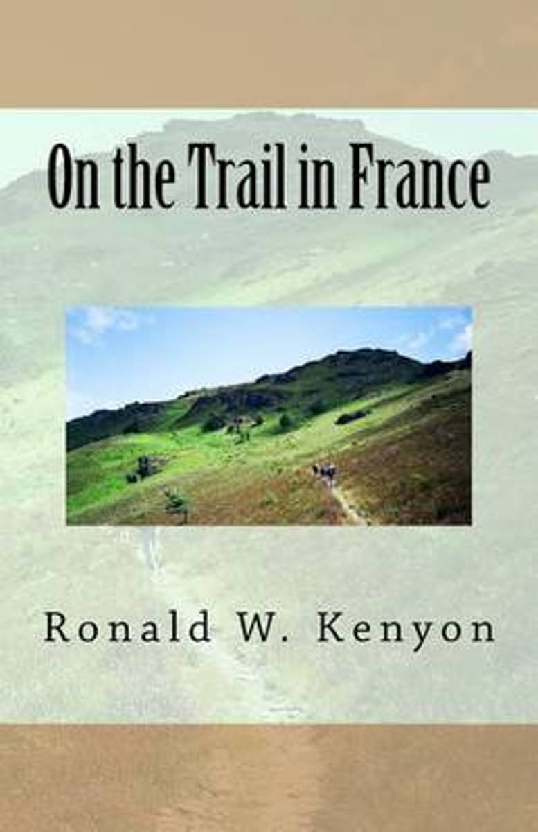
- On the Trail in France
- Many tourists who visit Paris wish they could discover the real France, the hidden France they have read about in novels and seen in paintings at museums. They would like to visit charming villages, meet real French people and savor traditional French cuisine. But how to do it? And, for that matter, does this authentic France still exist?That... Read more
- Also available from:
- Bol.com, Belgium
Bol.com
Belgium
Belgium
- On the Trail in France
- Many tourists who visit Paris wish they could discover the real France, the hidden France they have read about in novels and seen in paintings at museums. They would like to visit charming villages, meet real French people and savor traditional French cuisine. But how to do it? And, for that matter, does this authentic France still exist?That... Read more
Kaarten

De Zwerver
Netherlands
Netherlands
- Also available from:
- Stanfords, United Kingdom

Stanfords
United Kingdom
United Kingdom
- Aigueperse - Châtel-Guyon - Manzat IGN 2530SB
- Topographic survey of France at 1:25,000 in IGN`s excellent TOP25 / Série Bleue series. All the maps are GPS compatible, with a 1km UTM grid plus latitude and longitude lines at 5’ intervals. Contours are at 5m intervals except for mountainous areas where the maps have contours at 10m intervals, vividly enhanced by hill shading and graphics for... Read more
De Zwerver
Netherlands
Netherlands
- Also available from:
- Stanfords, United Kingdom

Stanfords
United Kingdom
United Kingdom
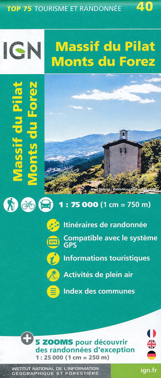
- Massif du Pilat - Monts du Forez IGN 75040
- Topographic survey of France at 1:25,000 in IGN`s excellent TOP25 / Série Bleue series. All the maps are GPS compatible, with a 1km UTM grid plus latitude and longitude lines at 5’ intervals. Contours are at 5m intervals except for mountainous areas where the maps have contours at 10m intervals, vividly enhanced by hill shading and graphics for... Read more
De Zwerver
Netherlands
Netherlands
- Also available from:
- Stanfords, United Kingdom

Stanfords
United Kingdom
United Kingdom
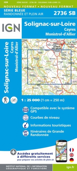
- Solignac-sur-Loire - Cayres - Monistrol-d`Allier IGN 2736SB
- Topographic survey of France at 1:25,000 in IGN`s excellent TOP25 / Série Bleue series. All the maps are GPS compatible, with a 1km UTM grid plus latitude and longitude lines at 5’ intervals. Contours are at 5m intervals except for mountainous areas where the maps have contours at 10m intervals, vividly enhanced by hill shading and graphics for... Read more
De Zwerver
Netherlands
Netherlands
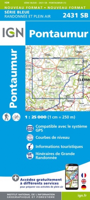
- Wandelkaart - Topografische kaart 2431SB Pontaumur | IGN - Institut Géographique National
- Topographic survey of France at 1:25,000 in IGN`s excellent TOP25 / Série Bleue series. All the maps are GPS compatible, with a 1km UTM grid plus latitude and longitude lines at 5’ intervals. Contours are at 5m intervals except for mountainous areas where the maps have contours at 10m intervals, vividly enhanced by hill shading and graphics for... Read more
- Also available from:
- Stanfords, United Kingdom

Stanfords
United Kingdom
United Kingdom
- Pontaumur IGN Map 2431SB
- Topographic survey of France at 1:25,000 in IGN`s excellent TOP25 / Série Bleue series. All the maps are GPS compatible, with a 1km UTM grid plus latitude and longitude lines at 5’ intervals. Contours are at 5m intervals except for mountainous areas where the maps have contours at 10m intervals, vividly enhanced by hill shading and graphics for... Read more
De Zwerver
Netherlands
Netherlands
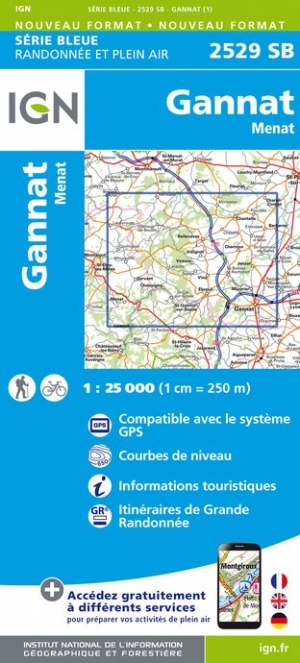
- Wandelkaart - Topografische kaart 2529SB Gannat | IGN - Institut Géographique National
- Topographic survey of France at 1:25,000 in IGN`s excellent TOP25 / Série Bleue series. All the maps are GPS compatible, with a 1km UTM grid plus latitude and longitude lines at 5’ intervals. Contours are at 5m intervals except for mountainous areas where the maps have contours at 10m intervals, vividly enhanced by hill shading and graphics for... Read more
- Also available from:
- Stanfords, United Kingdom

Stanfords
United Kingdom
United Kingdom
- Gannat IGN 2529SB
- Topographic survey of France at 1:25,000 in IGN`s excellent TOP25 / Série Bleue series. All the maps are GPS compatible, with a 1km UTM grid plus latitude and longitude lines at 5’ intervals. Contours are at 5m intervals except for mountainous areas where the maps have contours at 10m intervals, vividly enhanced by hill shading and graphics for... Read more
De Zwerver
Netherlands
Netherlands
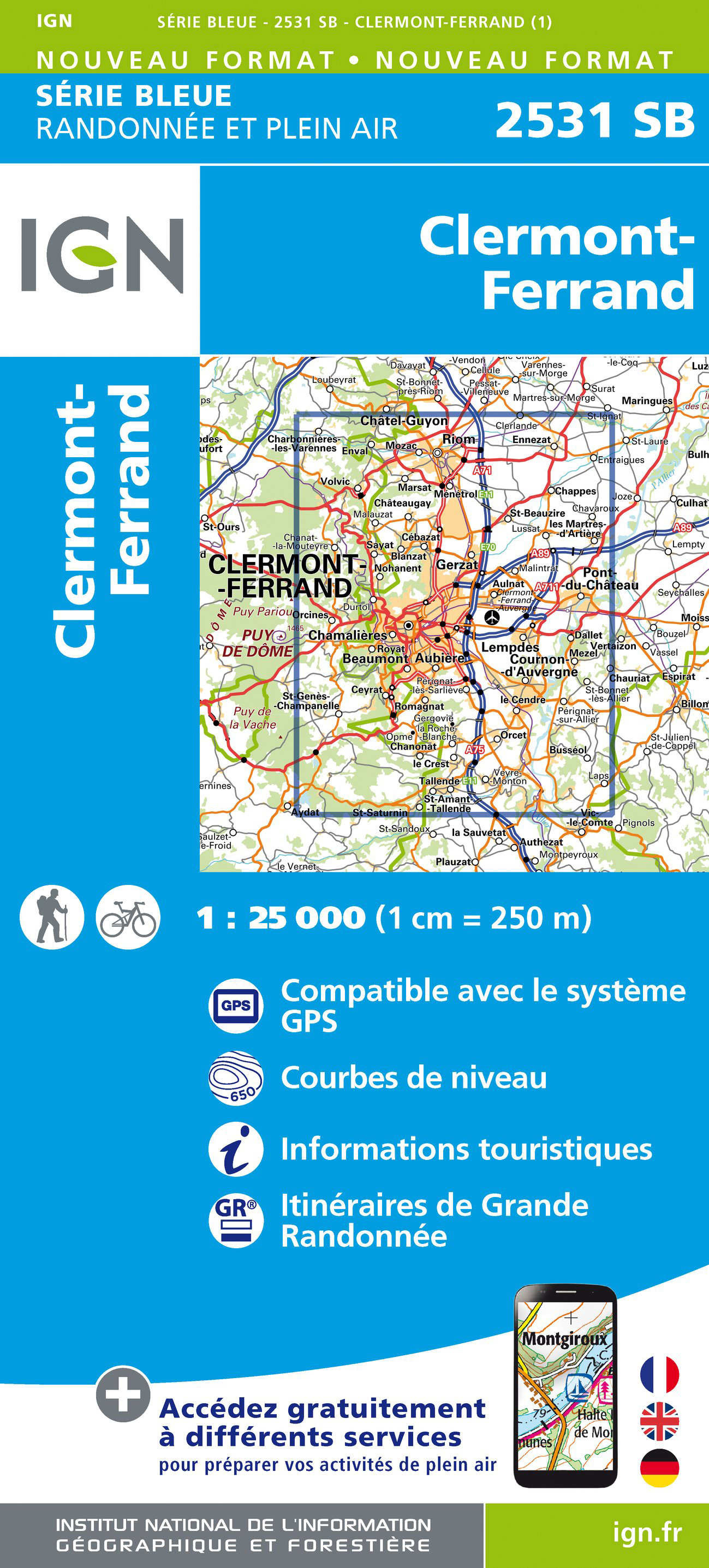
- Wandelkaart - Topografische kaart 2531SB Clermont-Ferrand | IGN - Institut Géographique National
- Topographic survey of France at 1:25,000 in IGN`s excellent TOP25 / Série Bleue series. All the maps are GPS compatible, with a 1km UTM grid plus latitude and longitude lines at 5’ intervals. Contours are at 5m intervals except for mountainous areas where the maps have contours at 10m intervals, vividly enhanced by hill shading and graphics for... Read more
- Also available from:
- Stanfords, United Kingdom

Stanfords
United Kingdom
United Kingdom
- Clermont-Ferrand IGN 25K Série Bleue Map 2531SB
- Topographic survey of France at 1:25,000 in IGN`s excellent TOP25 / Série Bleue series. All the maps are GPS compatible, with a 1km UTM grid plus latitude and longitude lines at 5’ intervals. Contours are at 5m intervals except for mountainous areas where the maps have contours at 10m intervals, vividly enhanced by hill shading and graphics for... Read more
De Zwerver
Netherlands
Netherlands
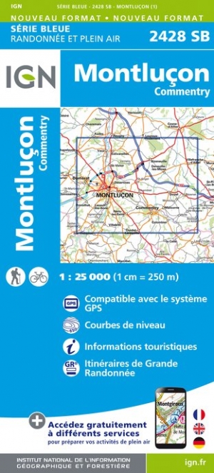
- Wandelkaart - Topografische kaart 2428SB Montluçon | IGN - Institut Géographique National
- Topographic survey of France at 1:25,000 in IGN`s excellent TOP25 / Série Bleue series. All the maps are GPS compatible, with a 1km UTM grid plus latitude and longitude lines at 5’ intervals. Contours are at 5m intervals except for mountainous areas where the maps have contours at 10m intervals, vividly enhanced by hill shading and graphics for... Read more
- Also available from:
- Stanfords, United Kingdom

Stanfords
United Kingdom
United Kingdom
- Montlucon - Commentry IGN Map 2428SB
- Topographic survey of France at 1:25,000 in IGN`s excellent TOP25 / Série Bleue series. All the maps are GPS compatible, with a 1km UTM grid plus latitude and longitude lines at 5’ intervals. Contours are at 5m intervals except for mountainous areas where the maps have contours at 10m intervals, vividly enhanced by hill shading and graphics for... Read more
De Zwerver
Netherlands
Netherlands
- Also available from:
- Stanfords, United Kingdom

Stanfords
United Kingdom
United Kingdom
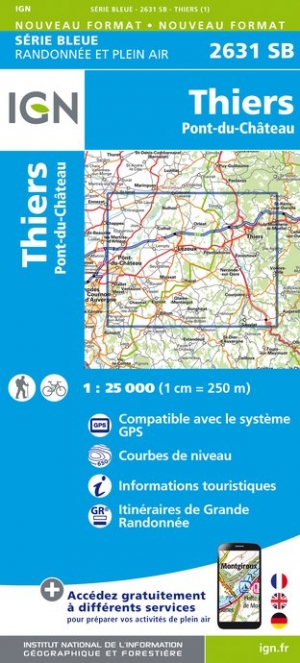
- Thiers - Pont-du-Chateau IGN 2631SB
- Topographic survey of France at 1:25,000 in IGN`s excellent TOP25 / Série Bleue series. All the maps are GPS compatible, with a 1km UTM grid plus latitude and longitude lines at 5’ intervals. Contours are at 5m intervals except for mountainous areas where the maps have contours at 10m intervals, vividly enhanced by hill shading and graphics for... Read more

De Zwerver
Netherlands
Netherlands
- Also available from:
- Stanfords, United Kingdom

Stanfords
United Kingdom
United Kingdom
- Montmarault - Tronget IGN 2528SB
- Topographic survey of France at 1:25,000 in IGN`s excellent TOP25 / Série Bleue series. All the maps are GPS compatible, with a 1km UTM grid plus latitude and longitude lines at 5’ intervals. Contours are at 5m intervals except for mountainous areas where the maps have contours at 10m intervals, vividly enhanced by hill shading and graphics for... Read more
De Zwerver
Netherlands
Netherlands
- Also available from:
- Stanfords, United Kingdom

Stanfords
United Kingdom
United Kingdom
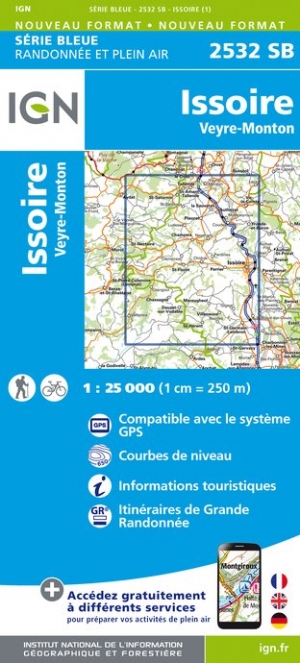
- Issoire - Veyre-Monton IGN 2532SB
- Topographic survey of France at 1:25,000 in IGN`s excellent TOP25 / Série Bleue series. All the maps are GPS compatible, with a 1km UTM grid plus latitude and longitude lines at 5’ intervals. Contours are at 5m intervals except for mountainous areas where the maps have contours at 10m intervals, vividly enhanced by hill shading and graphics for... Read more

De Zwerver
Netherlands
Netherlands
- Also available from:
- Stanfords, United Kingdom
Stanfords
United Kingdom
United Kingdom
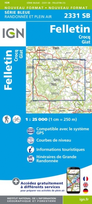
- Felletin - Crocq - Giat IGN 2331SB
- Topographic survey of France at 1:25,000 in IGN`s excellent TOP25 / Série Bleue series. All the maps are GPS compatible, with a 1km UTM grid plus latitude and longitude lines at 5’ intervals. Contours are at 5m intervals except for mountainous areas where the maps have contours at 10m intervals, vividly enhanced by hill shading and graphics for... Read more