
Alps
Beschrijving

The Alps, main mountain range of Europe, extending from France to Slovenia, including Austria, Italy, Germany, Switzerland, Liechtenstein. Highest summit is Mont Blanc (4.810), on the frontier of France, Switzerland and Italy, home of the popular Tour du Mont Blanc.
The Alps are, contrary to what most people think, not the largest mountain range in Europe. The Carpathians actually are more extensive, but not as high.
Often, hikers from outside Europe ask where to go in the Alps, which trail is best. Obviously, this is something every individual has to decide upon herself. The range of hiking opportunities in the Alps is huge. Beautiful country walks are within reach of snow capped mountains where someone else is sweating on a rope to get over a glacier. There are plenty of long distance trails combining different areas, although most people stick to one area. Some like to stay in a hotel and make day walks. Others fancy a hut-tour.
Let's be clear on another point: the facilities in the Alps are among the best in the world. Some would argue they are over the top. Thousands of huts – and very good ones too – lots of ski lifts, well marked trails.
Okay, we from Traildino do have some advice. First, take into account the local culture of an area. Many Alpine regions have a long and rich history which is there to enjoy. The different countries sharing the Alps are all very different, and the regional differences are equally astonishing. This is really a part of the fun here: enjoying nature, enjoying people and hospitality. Second tip: famous is not best. You will probably think of flying to the Matterhorn or Mont Blanc or something equally famous. Needless to say: these area's are very busy and by no means the most impressive or beautiful. Pretty as they are, also the different national parks draw many visitors and hikers are packed in large huts when aiming at the high peaks. If that's what you want: fine. If you prefer a small hut where a local warden makes you the best dinner you've ever had and where you can have a chat with the other three guests while inhaling the sounds and fumes of the end of the day, than virtually every region in the Alps has its charms.
Kaart

Paden in deze regio
- AdlerwegGPX
- Aletsch PanoramawegGPX
- AlpannoniaGPX
- Alpen Weitwanderweg
- Alpenkranz Uri
- Alpenpanorama-WegGPX
- AlpenpässewegGPX
- Alta Via dei GigantiGPX
- Alta Via dei Monti LiguriGPX
- Alta Via Della Valle d'Aosta No 1
- Alta Via Della Valle d'Aosta No 2
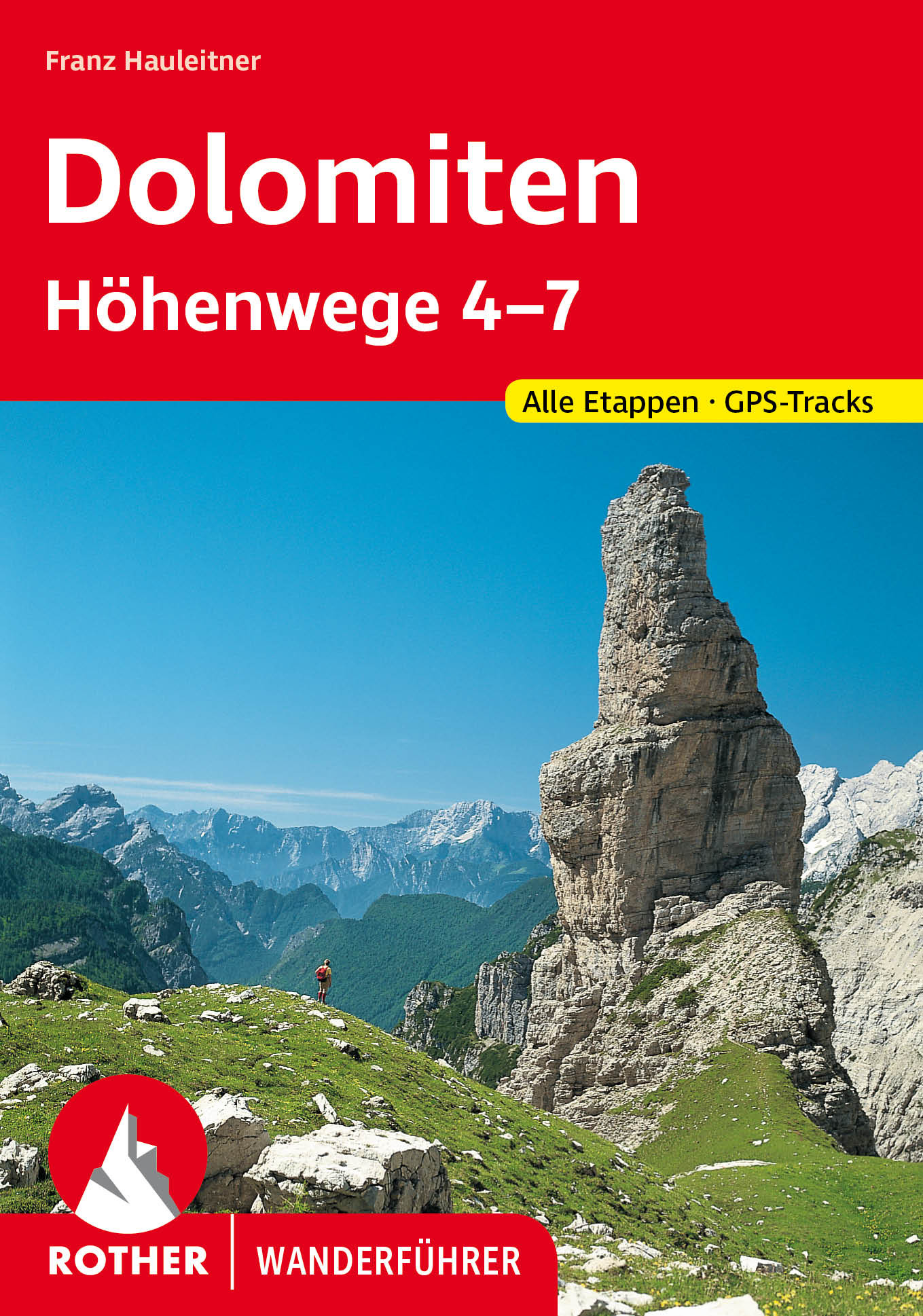
- Alta Via Dolomiti 1GPX
- Alta Via Dolomiti 10
- Alta Via Dolomiti 2GPX
- Alta Via Dolomiti 3GPX
- Alta Via Dolomiti 4GPX
- Alta Via Dolomiti 5
- Alta Via Dolomiti 6GPX
- Alta Via Dolomiti 7
- Alta Via Dolomiti 8
- Alta Via Dolomiti 9
- ArnowegGPX
- Ämtlerweg
- Bassa Via del GardaGPX
- Berliner HöhenwegGPX
- Berner Voralpenweg
- Chemin des BissesGPX
- Chemin du VignobleGPX
- Dachstein-Tauern Panoramaweg
- E10GPX
- E2GPX
- E4GPX
- E5GPX
- E6GPX
- Eisenwurzenweg - 8GPX
- EmmenuferwegGPX
- Freiburger VoralpenwegGPX
- Furka HöhenwegGPX
- Gailtaler HöhenwegGPX
- GoethewegGPX
- GR5GPX
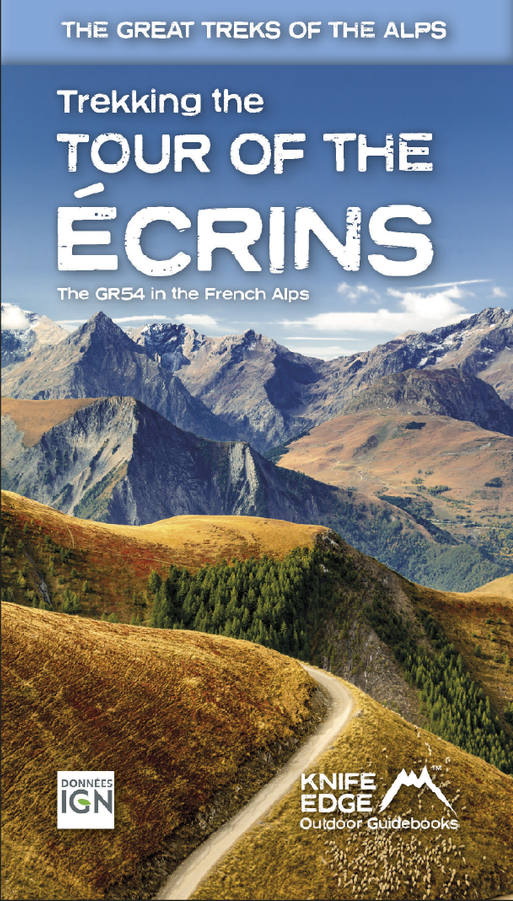
- GR50 - Tour des ÉcrinsGPX
- GR510 - Sentier des huit valléesGPX
- GR54 - Tour de l'Oisans et des ÉcrinsGPX
- GR541
- GR549
- GR55 - Tour de la VanoiseGPX
- GR56 - Tour de l'UbayeGPX
- GR58 - Tour du QueyrasGPX
- GR65 - Via PodiensisGPX
- GR653 - Via TolosanaGPX
- GR653D - Voie d’ArlesGPX
- GR9GPX
- GR91 - Traversée du VercorsGPX
- GR93GPX
- GR94 - Tour des Hautes-AlpesGPX
- GR946
- GR95GPX
- GR96 - Traversée des BaugesGPX
- Grande Traversata del Gran Paradiso
- Grande Traversata delle AlpiGPX
- Grenzpfad NapfberglandGPX
- GTPA - Grande Traversée des PréalpesGPX
- Haute Route Chamonix-ZermattGPX
- Heidiland Wandertour
- Heilbronner HöhenwegGPX
- Hintere Gasse
- KalkalpenwegGPX
- Karnischer HöhenwegGPX
- Karwendel Höhenweg
- Kesch Trek
- Kreuzecker Höhenweg
- Lasörling HöhenwegGPX
- Lötschberg PanoramawegGPX
- Lechtaler HöhenwegGPX
- Liechtensteiner PanoramawegGPX
- Mariazeller Wege - 6GPX
- MaximilianswegGPX
- Meraner HöhenwegGPX
- Mittelbünden PanoramawegGPX
- Nationalpark PanoramawegGPX
- Nord-Süd Wanderweg - 5GPX
- Nordalpenweg - 1GPX
- Obwaldner HöhenwegGPX
- Pragelpass-WegGPX
- Prättigauer HöhenwegGPX
- Rätikon Höhenweg
- Rheintaler HöhenwegGPX
- Route du Temps
- Rupertiweg - 10GPX
- Salzburger AlmenwegGPX
- Salzsteigweg - 9GPX
- Sanetsch Muveran WegGPX
- Südalpenweg - 3GPX
- Schanfigger HöhenwegGPX
- Schladminger Tauern Höhenweg
- Schwyzer HöhenwegGPX
- SeealpentourGPX
- Senda SegantiniGPX
- Senda SursilvanaGPX
- Sentiero CristallinaGPX
- Sentiero della PaceGPX
- Sentiero Lago di LuganoGPX
- Sentiero VerzascaGPX
- Slovene Geological Path
- Slovenska Planinska PotGPX
- Slovenska Planinska Pot (extended)
- Stubaier HöhenwegGPX
- Sub-Alpine Trail
- Tauernhöhenweg
- Thurgauer PanoramawegGPX
- ThurwegGPX
- Tiroler Höhenweg
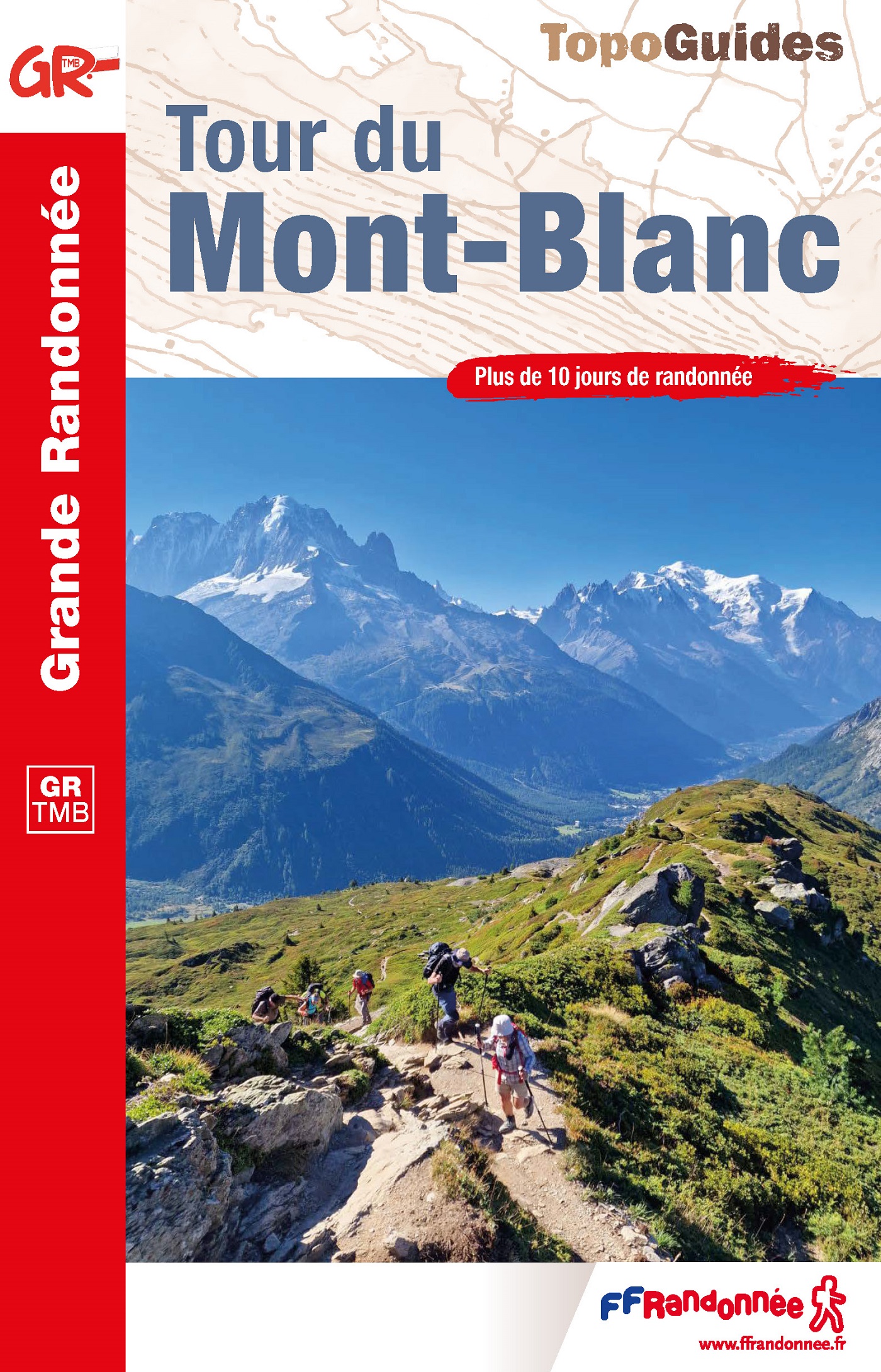
- TMB - Tour du Mont BlancGPX
- Tour des CombinsGPX
- Tour des Dents du MidiGPX
- Tour des Grands Barrages
- Tour du Augstbordhorn
- Tour du BeaufortainGPX
- Tour du MatterhornGPX
- Tour du Saint-BernardGPX
- Tour du Val de BagnesGPX
- Tour du WildhornGPX
- Tour Monte RosaGPX
- Tour Val d'HérensGPX
- Trans-Swiss TrailGPX
- Traumpfad München-VenedigGPX
- Venediger HöhenwegGPX
- Verwall Höhenweg
- Via AlpinaGPX
- Via EngiadinaGPX
- Via FrancigenaGPX
- Via GebennensisGPX
- Via JacobiGPX
- Via RhenanaGPX
- Via SbrinzGPX
- Via SplugaGPX
- Via StockalperGPX
- Via ValtellinaGPX
- Voralpenweg - 4GPX
- Walk of Peace
- Walliser SonnenwegGPX
- WALSA-wegGPX
- Weg der SchweizGPX
- Züri Oberland HöhenwegGPX
- Zürich-Zugerland PanoramawegGPX
- Zentralalpenweg - 2GPX


Links
Feiten
Verslagen
Gidsen en kaarten
Overnachting
Organisaties
Reisorganisaties
GPS
Anders
Boeken


Netherlands
2020
- Wandelgids Leichte Wanderungen Münchner Berge | Rother Bergverlag
- 40 Touren zwischen Garmisch und Chiemgau Rother Wanderführer. 3. Auflage. Read more
Netherlands

Netherlands
2022

Netherlands
2015
- Wandelgids 6543 Sentier vers Saint-Jacques-de-Compostelle via Vezelay : Périgueux - Roncevaux - GR654 | FFRP
- Guide FFRandonnée Sentier vers St-Jacques-de-Compostelle : Périgueux-Ronceveaux. GR 654. Voie de Vézelay vers Compostelle : suite de l'itinéraire décrit dans le topo-guide réf. 6542 'Sentier vers St-Jacques-de-Compostelle : Vézelay-Périgueux'.Passé le seuil du Périgord blanc,... Read more
- Also available from:
- Stanfords, United Kingdom

United Kingdom
2015
- GR654 Sentier St-Jacques: Perigueux - Roncevaux FFRP Topo-guide No. 6543
- Sentier St-Jacques: Perigueux - Roncevaux, FFRP topoguide Ref. no. 6543, covering the second part of the Way of St James route along the GR654 which starts in Vézelay, the section from Perigueux to the Pyrenees. Also covered is an eastern route from Bergerac to Montréal-de-Gers. Current edition of this title was published in June 2014.ABOUT THE... Read more
Netherlands
2023
Netherlands
2015

Netherlands
2014
- Wandelgids 901 Tours et traversées dans l'Ain GR9, GR9A, GR59 | FFRP
- Guide FFRandonnée Tours et Traversée dans l'ain. GR 59, 9, 9A. Etangs de la Dombes, monts et cluses du Revermont ou bocages de la Bresse. Plus de 50 jours de randonnée.Depuis les Monts du Jura, du Revermont ou du Bugey, ces itinéraires en boucle ou en ligne offrent aux randonneurs des vues imprenables. voici à l'est le Mont Blanc et les... Read more
- Also available from:
- Stanfords, United Kingdom

United Kingdom
2014
- GR59/GR9/GRP: Tours et Traversées de l`Ain FFRP Topo-guide No. 901
- Tours et Traversées de l`Ain, FFRP topoguide, Ref. No. 901, covering in all 949km of hiking trails in the French Jura between Lons-le-Saunier and the confluence of the Ain and the Rhône, including sections of GR 5, 9 and 9A. Current edition of this title was published in June 2014.ABOUT THE FFRP (Fédération française de la randonnée pédestre)... Read more
Netherlands
2014
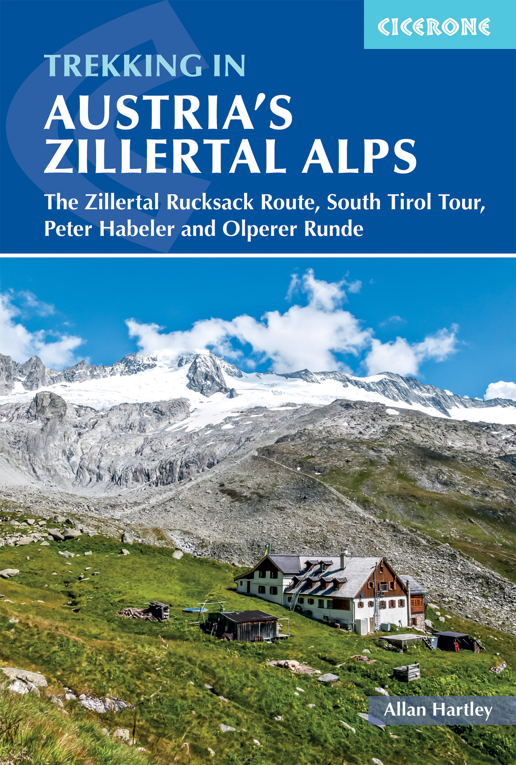
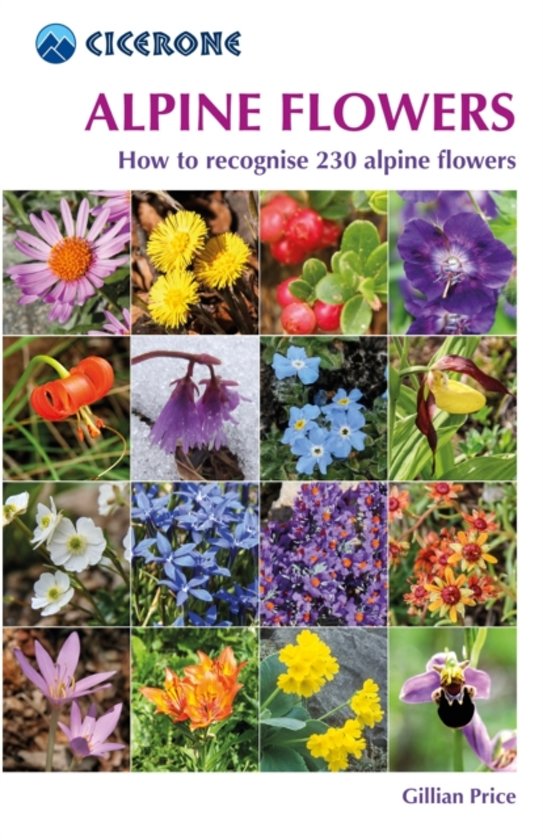
- Natuurgids Alpine Flowers - bloemengids Alpen | Cicerone
- A pocket field guidebook for identifying 230 of the most commonly found alpine flowers of the Alps. Categorised by colour for quick identification, each alpine flower has a photograph and description of its key features. Flower names are given in English, French, German, Italian and Latin, with notes on curious facts and origins of names. Read more
Netherlands
2022
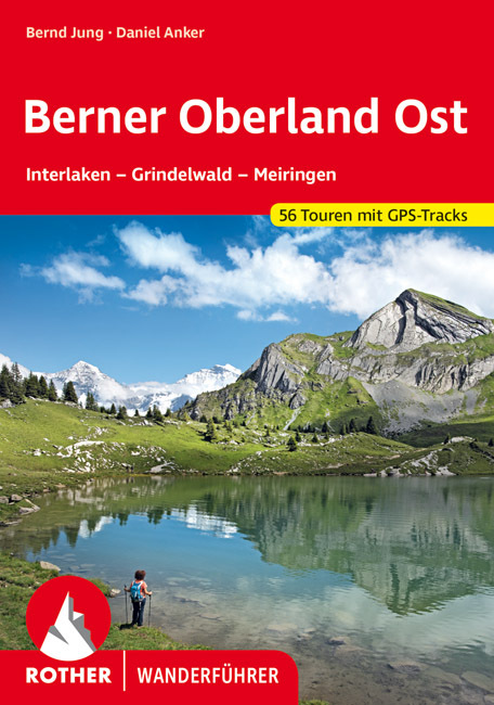
- Wandelgids Berner Oberland · Ost | Rother Bergverlag
- Uitstekende wandelgids met een groot aantal dagtochten in dal en hooggebergte. Met praktische informatie en beperkt kaartmateriaal! Wandelingen in verschillende zwaarte weergegeven in rood/blauw/zwart. Das Berner Oberland wird gerne als »Spielplatz Europas« bezeichnet. Hier – besonders im östlichen Teil mit seinen bekannten Fremdenverkehrsorten... Read more

Netherlands
2013
- Wandelgids Münchner Wanderberge | Rother Bergverlag
- De ‘Rother Wanderbücher’ behandelen telkens de 50 mooiste wandelingen, die variëren van eenvoudige kindvriendelijke wandelingen tot routes die aanzienlijk meer ervaring vereisen. Uitvoerige routebeschrijvingen, een aantrekkelijke lay-out met vele kleurenfoto’s, niets aan duidelijkheid te wensen gelaten hoogteprofielen, kaartjes met de... Read more

Kaarten

Netherlands
2016
- Wandelgids The Cretan Way E4 | Anavasi
- The Cretan Way is a 500km walking route which takes you from east to west across the varied and spectacular landscapes of Crete. It is the ideal way to discover the rural, mountainous and costal regions of this incredible island. This guide is based on a 28-day walk.This guide includes practical information, maps at a scale of 1:25.000 of... Read more
- Also available from:
- Stanfords, United Kingdom

United Kingdom
2016
- The Cretan Way - A 28 Day Walk
- The Cretan Way is a 500km walking route which takes you from east to west across the varied and spectacular landscapes of Crete. It is the ideal way to discover the rural, mountainous and costal regions of this incredible island. This guide is based on a 28-day walk.This guide includes practical information, maps at a scale of 1:25.000 of... Read more

Netherlands
2020
- Wandelatlas - Pelgrimsroute (kaart) 161 Chemins de Compostelle GR65 | Michelin
- Véritable petit atlas détaillant chaque étape avec indications précises concernant les villes de départ et d'arrivée ainsi que pour les localités traversées (auberges, refuges, restaurants, pharmacies, gare, épiceries, Km parcourus, Km restants....).Ce petit atlas suit le chemin du... Read more

Netherlands
2017
- Wandelgids Der Meraner Höhenweg | Tappeiner Verlag
- Prachtig uitgevoerde wandelgids met veel foto's en uitgebreide tekst. Bijgevoegd een gedetailleerde kaart van 1:25.000 met de ingetekende route. De kaart is toereikend om te gebruiken op de route; op de achterkant staat dan de praktische informatie nog een extra vermeld. In diesem Buch über den Meraner Höhenweg werden einerseits die Entstehung... Read more

Netherlands
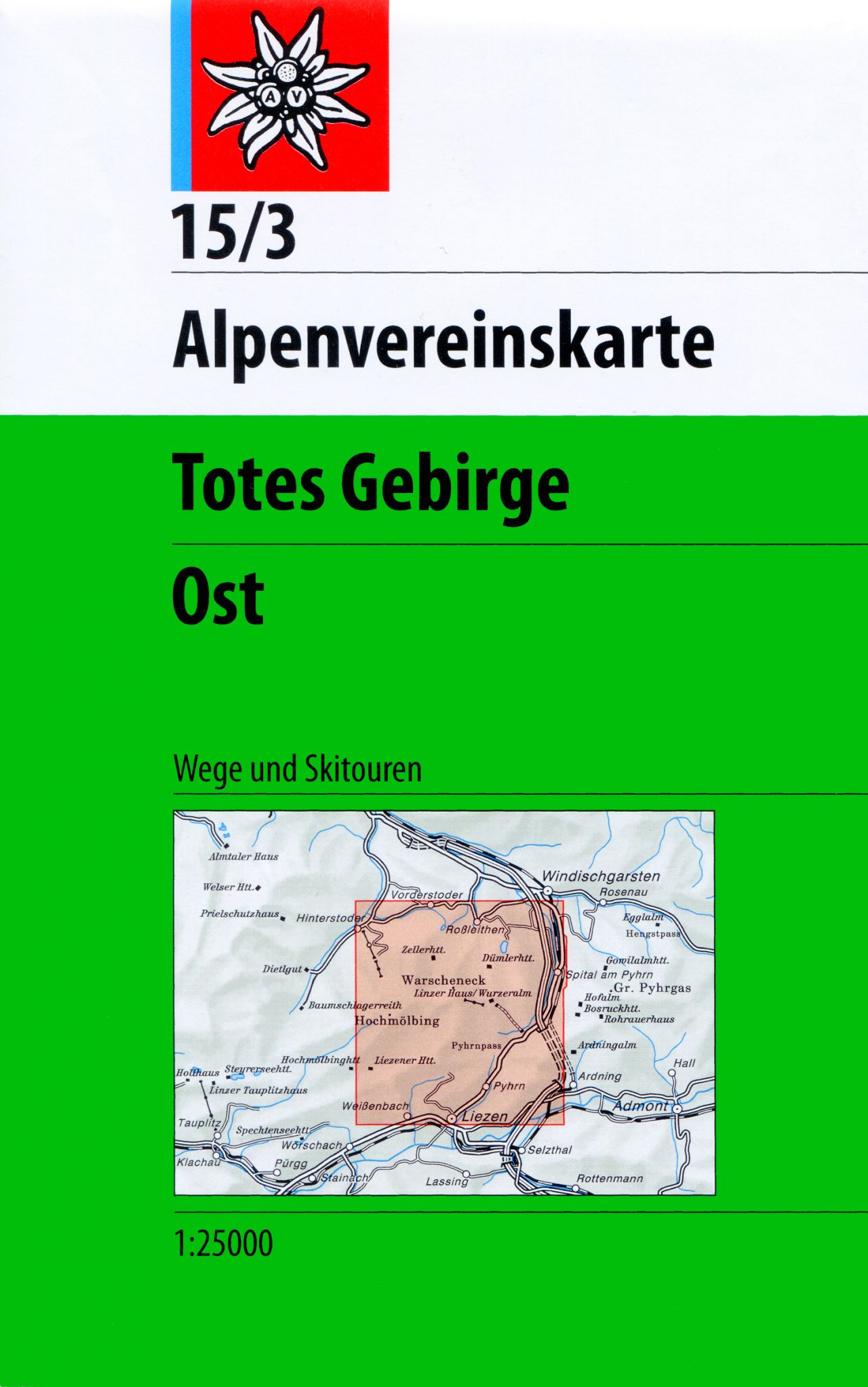
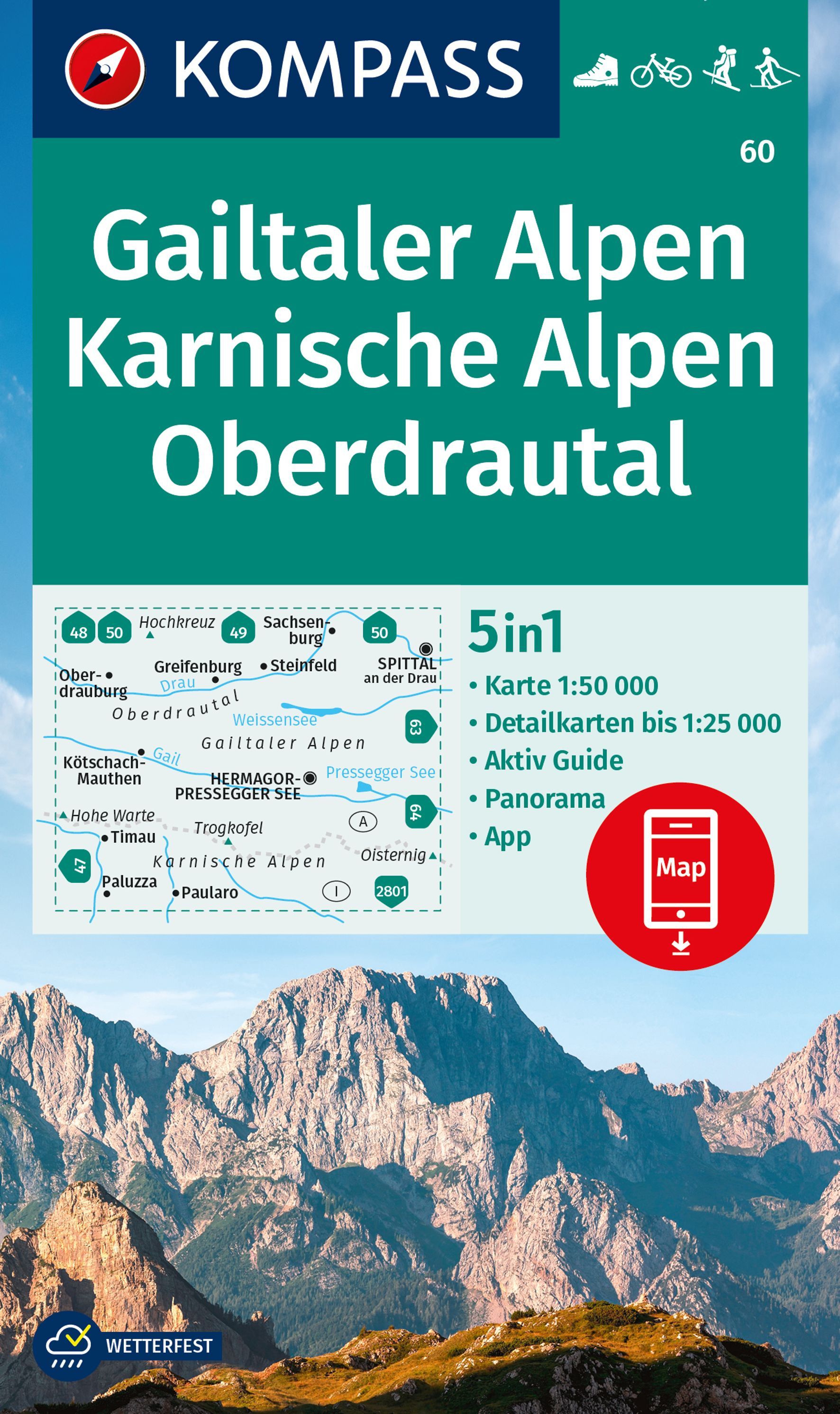
- Wandelkaart 15/3 Alpenvereinskarte Totes Gebirge - Ost | Alpenverein
- Totes Gebirge East area of the Alps in a combined hiking and ski edition at 1:25,000 from a series of detailed, GPS compatible maps published by the DAV - Deutscher Alpenverein and produced by the German and Austrian Alpine Clubs using cartography from their respective survey organizations. Maps in this series have topography vividly presented... Read more
- Also available from:
- Stanfords, United Kingdom

United Kingdom
- Totes Gebirge East Alpenverein KOMBI Map 15/3
- Totes Gebirge East area of the Alps in a combined hiking and ski edition at 1:25,000 from a series of detailed, GPS compatible maps published by the DAV - Deutscher Alpenverein and produced by the German and Austrian Alpine Clubs using cartography from their respective survey organizations. Maps in this series have topography vividly presented... Read more
Netherlands

Netherlands
- Wandelkaart - Fietskaart - Wegenkaart - landkaart 448 Western Crete - Kreta West | Terrain maps
- Western Crete at 1:100,000 on an indexed, GPS compatible road map from Terrain Editions, printed on light, waterproof and tear-resistant plastic paper, with a street plan of central Chania.This title is part of a series which covers Crete in three sheets. The maps have contours at 100m intervals, enhanced by relief shading with spot heights and... Read more
- Also available from:
- Stanfords, United Kingdom

United Kingdom
- Western Crete Terrain Editions 448
- Western Crete at 1:100,000 on an indexed, GPS compatible road map from Terrain Editions, printed on light, waterproof and tear-resistant plastic paper, with a street plan of central Chania.This title is part of a series which covers Crete in three sheets. The maps have contours at 100m intervals, enhanced by relief shading with spot heights and... Read more
Netherlands
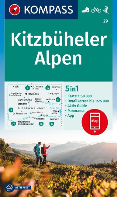
- Wandelkaart 29 Kitzbüheler Alpen | Kompass
- Kitzbühel Alps, with a panorama map on the reverse, on a detailed, GPS compatible map at 1:50,000 from Kompass with local and long-distance footpaths, cycling routes, accommodation, etc.KOMPASS HIKING & RECREATIONAL MAPS: this title is part of an extensive series covering Austria, much of Germany and the Slovenian Alps. Kompass are Europe’s... Read more
- Also available from:
- Stanfords, United Kingdom

United Kingdom
- Kitzbühel Alps Kompass 29
- Kitzbühel Alps, with a panorama map on the reverse, on a detailed, GPS compatible map at 1:50,000 from Kompass with local and long-distance footpaths, cycling routes, accommodation, etc.KOMPASS HIKING & RECREATIONAL MAPS: this title is part of an extensive series covering Austria, much of Germany and the Slovenian Alps. Kompass are Europe’s... Read more
Netherlands
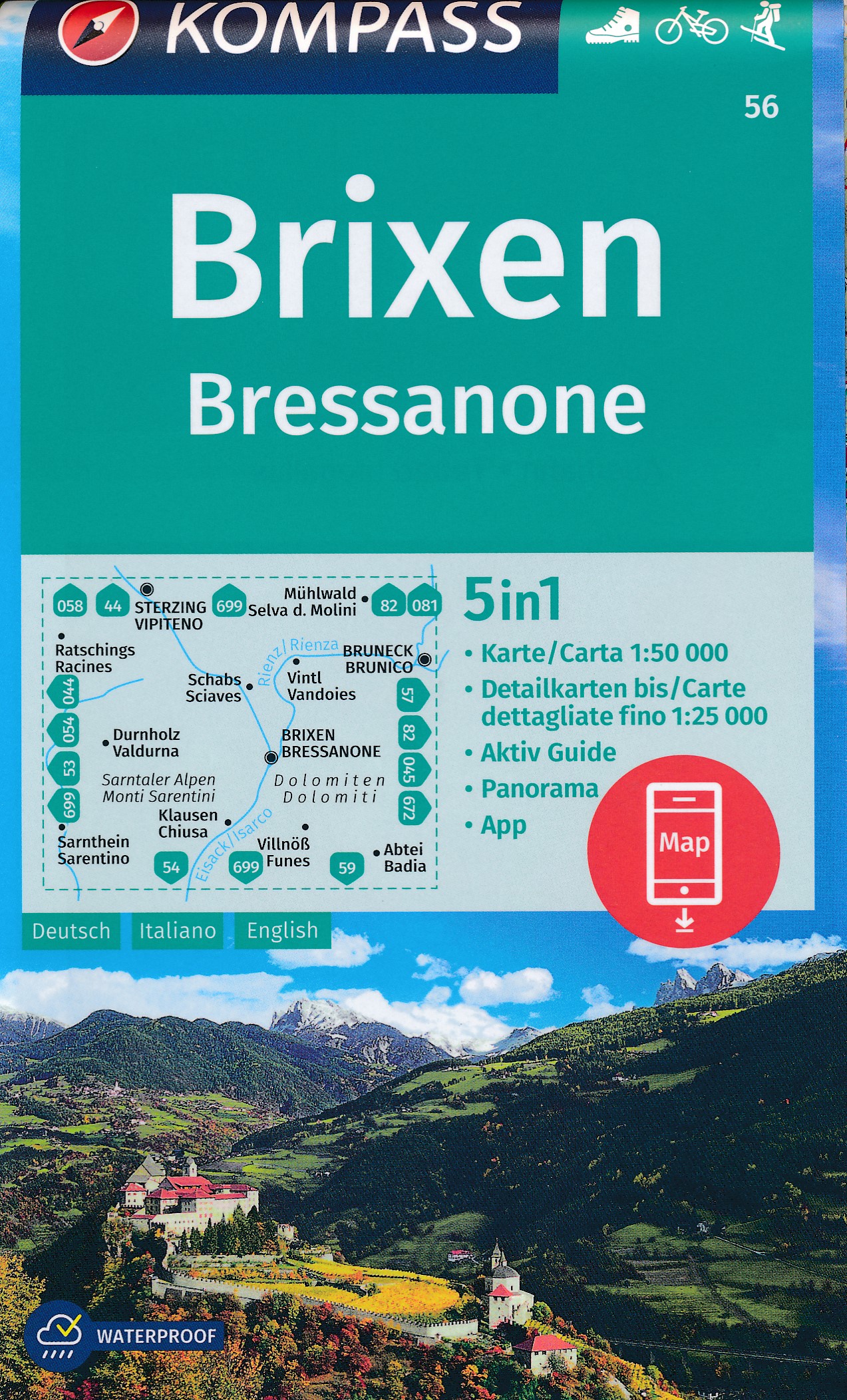
- Wandelkaart 56 Brixen - Bressanone | Kompass
- Bressanone/Brixen and its environs in the Dolomites on a GPS compatible hiking and recreational map at 1:50,000 from Kompass, printed on durable, waterproof and tear-resistant synthetic paper. KOMPASS HIKING MAPS OF ITALY: this title is part of an extensive series of walking maps from Kompass covering selected areas of Italy at mainly... Read more
- Also available from:
- Stanfords, United Kingdom

United Kingdom
- Bressanone / Brixen Kompass 56
- Bressanone/Brixen and its environs in the Dolomites on a GPS compatible hiking and recreational map at 1:50,000 from Kompass, printed on durable, waterproof and tear-resistant synthetic paper. KOMPASS HIKING MAPS OF ITALY: this title is part of an extensive series of walking maps from Kompass covering selected areas of Italy at mainly... Read more

Netherlands
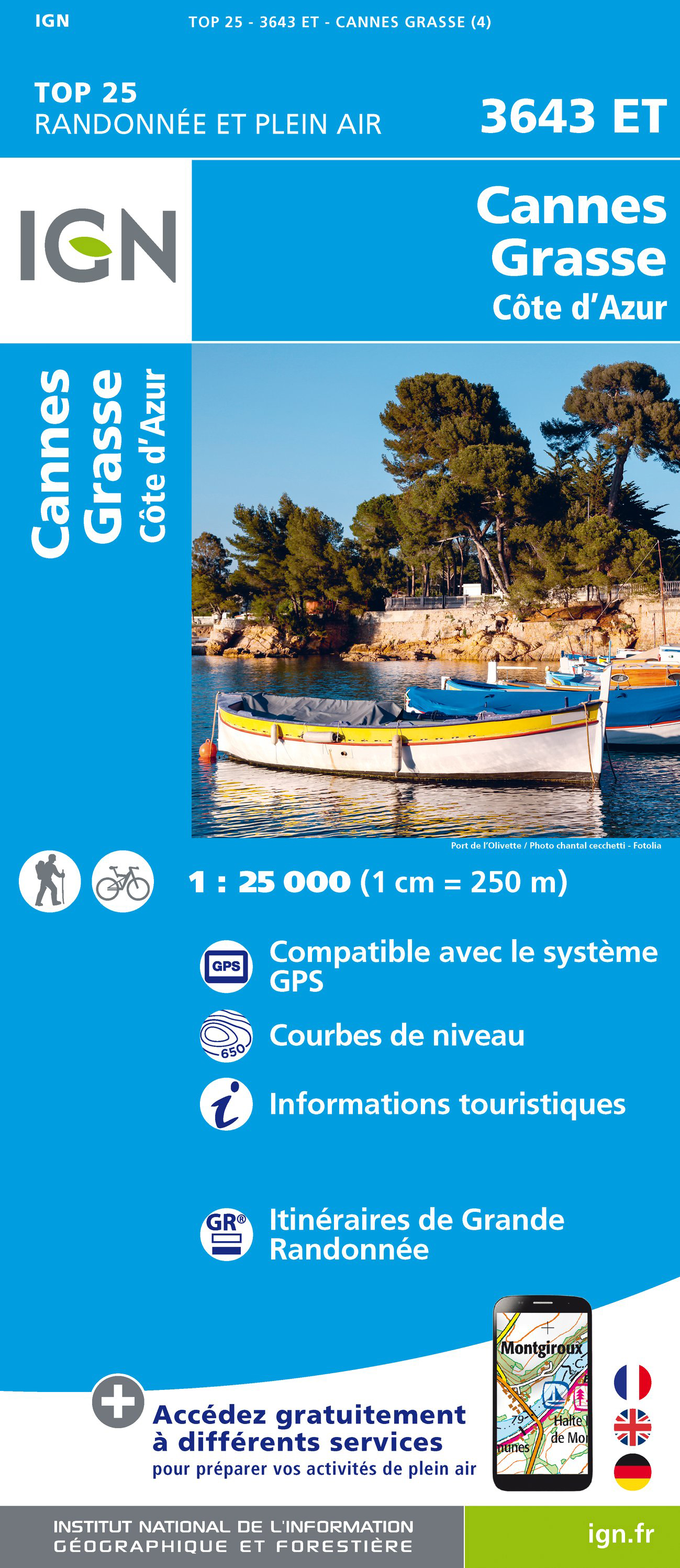
- Wandelkaart - Topografische kaart 3643ET Cannes - Grasse | IGN - Institut Géographique National
- De wandelkaart die de perfectie benadert! Werkelijk alle topografische details zijn er op te vinden; van hoogtelijnen tot aan bruggetjes en allerlei wandelpaden. Daarnaast hebben de makers een flinke dosis toeristische informatie op de kaart verwerkt: campings, gites d étape; restaurants en ingetekende doorgaande wandelpaden, de grandes... Read more
- Also available from:
- Stanfords, United Kingdom
United Kingdom
- Cannes - Grasse - Cote d`Azur IGN 3643ET
- Topographic survey of France at 1:25,000 in IGN`s excellent TOP25 / Série Bleue series. All the maps are GPS compatible, with a 1km UTM grid plus latitude and longitude lines at 5’ intervals. Contours are at 5m intervals except for mountainous areas where the maps have contours at 10m intervals, vividly enhanced by hill shading and graphics for... Read more
Netherlands
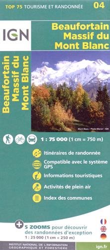
- Wandelkaart - Fietskaart 04 Beaufortain - Massif du Mont Blanc | IGN - Institut Géographique National
- Une carte générale de très grande lisibilité au 1/75 000 + 5 extraits de TOP25 au 1/25 000 en une seule carte ! Read more
- Also available from:
- Stanfords, United Kingdom

United Kingdom
- Beaufortain - Massif du Mont Blanc IGN 75004
- Massif du Mont Blanc – Beaufortain region in a series of GPS compatible, contoured TOP 75 maps at 1:75,000 from the IGN, highlighting local and long-distance hiking paths, cycling routes and sites for other recreational activities. In this revised 2015 edition the main 75K map now covers the whole of the Tour of Mont Blanc (TMB) including its... Read more
- Also available from:
- Stanfords, United Kingdom
United Kingdom
2021
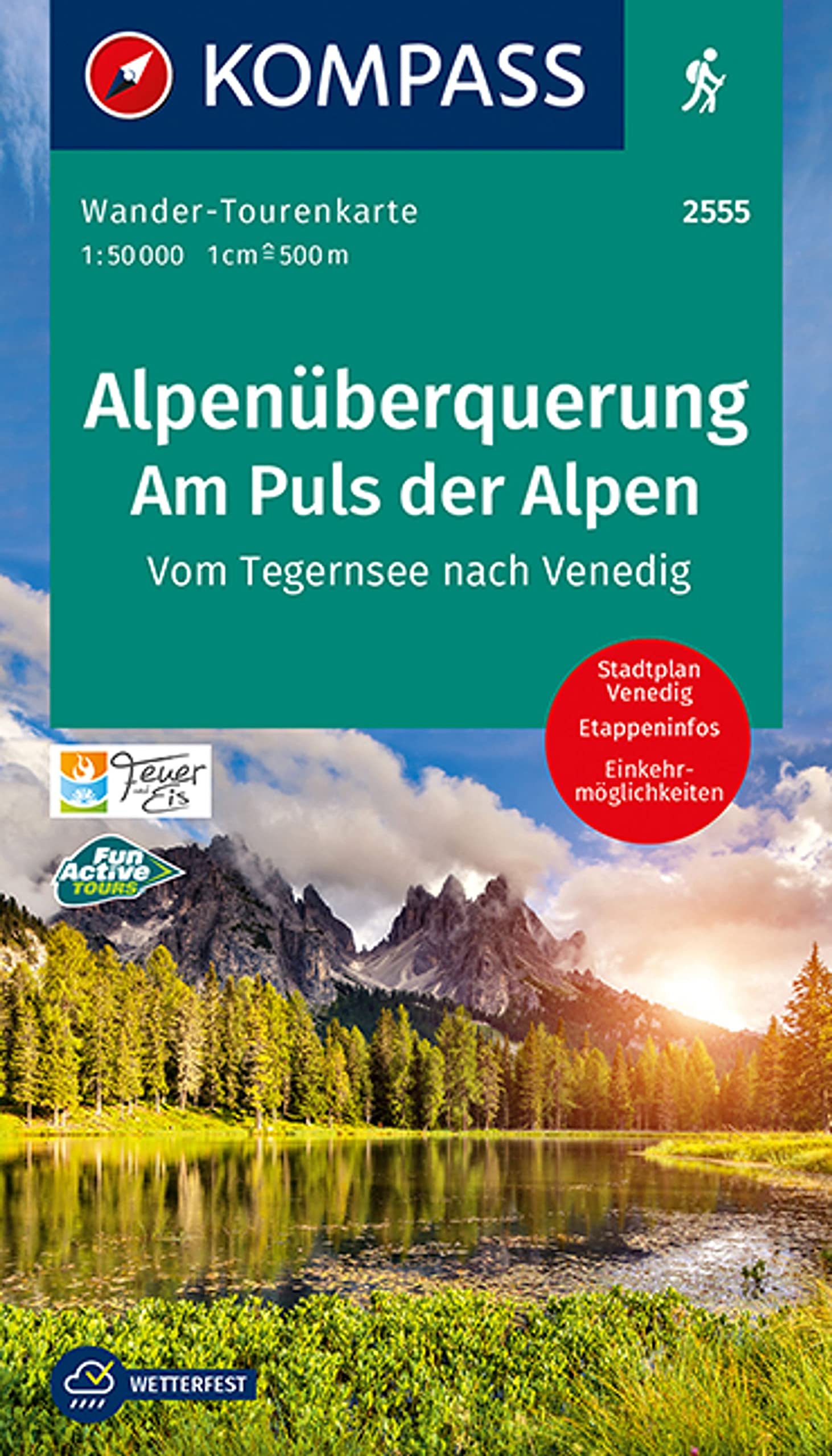
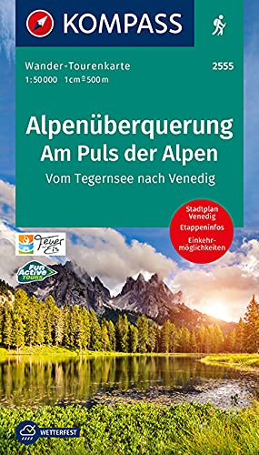
- Trans-Alpine Crossing - Tegernsee to Venice Kompass 2555
- The 184km long Transalpine Route from the German Alps across the Austrian Tyrol to the Dolomites on a waterproof and tear-resistant, contoured and GPS compatible concertina map from Kompass presenting the route on 13 panels, each 17.5x20cm, plus accommodations recommendations and street plans. Leading from Gmund on lake Tegernsee in Bavaria,... Read more