Alps
Beschrijving

The Alps, main mountain range of Europe, extending from France to Slovenia, including Austria, Italy, Germany, Switzerland, Liechtenstein. Highest summit is Mont Blanc (4.810), on the frontier of France, Switzerland and Italy, home of the popular Tour du Mont Blanc.
The Alps are, contrary to what most people think, not the largest mountain range in Europe. The Carpathians actually are more extensive, but not as high.
Often, hikers from outside Europe ask where to go in the Alps, which trail is best. Obviously, this is something every individual has to decide upon herself. The range of hiking opportunities in the Alps is huge. Beautiful country walks are within reach of snow capped mountains where someone else is sweating on a rope to get over a glacier. There are plenty of long distance trails combining different areas, although most people stick to one area. Some like to stay in a hotel and make day walks. Others fancy a hut-tour.
Let's be clear on another point: the facilities in the Alps are among the best in the world. Some would argue they are over the top. Thousands of huts – and very good ones too – lots of ski lifts, well marked trails.
Okay, we from Traildino do have some advice. First, take into account the local culture of an area. Many Alpine regions have a long and rich history which is there to enjoy. The different countries sharing the Alps are all very different, and the regional differences are equally astonishing. This is really a part of the fun here: enjoying nature, enjoying people and hospitality. Second tip: famous is not best. You will probably think of flying to the Matterhorn or Mont Blanc or something equally famous. Needless to say: these area's are very busy and by no means the most impressive or beautiful. Pretty as they are, also the different national parks draw many visitors and hikers are packed in large huts when aiming at the high peaks. If that's what you want: fine. If you prefer a small hut where a local warden makes you the best dinner you've ever had and where you can have a chat with the other three guests while inhaling the sounds and fumes of the end of the day, than virtually every region in the Alps has its charms.
Kaart

Paden in deze regio
- AdlerwegGPX
- Aletsch PanoramawegGPX
- AlpannoniaGPX
- Alpen Weitwanderweg
- Alpenkranz Uri
- Alpenpanorama-WegGPX
- AlpenpässewegGPX
- Alta Via dei GigantiGPX
- Alta Via dei Monti LiguriGPX
- Alta Via Della Valle d'Aosta No 1
- Alta Via Della Valle d'Aosta No 2
- Alta Via Dolomiti 1GPX
- Alta Via Dolomiti 10
- Alta Via Dolomiti 2GPX
- Alta Via Dolomiti 3GPX
- Alta Via Dolomiti 4GPX
- Alta Via Dolomiti 5
- Alta Via Dolomiti 6GPX
- Alta Via Dolomiti 7
- Alta Via Dolomiti 8
- Alta Via Dolomiti 9
- ArnowegGPX
- Ämtlerweg
- Bassa Via del GardaGPX
- Berliner HöhenwegGPX
- Berner Voralpenweg
- Chemin des BissesGPX
- Chemin du VignobleGPX
- Dachstein-Tauern Panoramaweg
- E10GPX
- E2GPX
- E4GPX
- E5GPX
- E6GPX
- Eisenwurzenweg - 8GPX
- EmmenuferwegGPX
- Freiburger VoralpenwegGPX
- Furka HöhenwegGPX
- Gailtaler HöhenwegGPX
- GoethewegGPX
- GR5GPX
- GR50 - Tour des ÉcrinsGPX
- GR510 - Sentier des huit valléesGPX
- GR54 - Tour de l'Oisans et des ÉcrinsGPX
- GR541
- GR549
- GR55 - Tour de la VanoiseGPX
- GR56 - Tour de l'UbayeGPX
- GR58 - Tour du QueyrasGPX
- GR65 - Via PodiensisGPX
- GR653 - Via TolosanaGPX
- GR653D - Voie d’ArlesGPX
- GR9GPX
- GR91 - Traversée du VercorsGPX
- GR93GPX
- GR94 - Tour des Hautes-AlpesGPX
- GR946
- GR95GPX
- GR96 - Traversée des BaugesGPX
- Grande Traversata del Gran Paradiso
- Grande Traversata delle AlpiGPX
- Grenzpfad NapfberglandGPX
- GTPA - Grande Traversée des PréalpesGPX
- Haute Route Chamonix-ZermattGPX
- Heidiland Wandertour
- Heilbronner HöhenwegGPX
- Hintere Gasse
- KalkalpenwegGPX
- Karnischer HöhenwegGPX
- Karwendel Höhenweg
- Kesch Trek
- Kreuzecker Höhenweg
- Lasörling HöhenwegGPX
- Lötschberg PanoramawegGPX
- Lechtaler HöhenwegGPX
- Liechtensteiner PanoramawegGPX
- Mariazeller Wege - 6GPX
- MaximilianswegGPX
- Meraner HöhenwegGPX
- Mittelbünden PanoramawegGPX
- Nationalpark PanoramawegGPX
- Nord-Süd Wanderweg - 5GPX
- Nordalpenweg - 1GPX
- Obwaldner HöhenwegGPX
- Pragelpass-WegGPX
- Prättigauer HöhenwegGPX
- Rätikon Höhenweg
- Rheintaler HöhenwegGPX
- Route du Temps
- Rupertiweg - 10GPX
- Salzburger AlmenwegGPX
- Salzsteigweg - 9GPX
- Sanetsch Muveran WegGPX
- Südalpenweg - 3GPX
- Schanfigger HöhenwegGPX
- Schladminger Tauern Höhenweg
- Schwyzer HöhenwegGPX
- SeealpentourGPX
- Senda SegantiniGPX
- Senda SursilvanaGPX
- Sentiero CristallinaGPX
- Sentiero della PaceGPX
- Sentiero Lago di LuganoGPX
- Sentiero VerzascaGPX
- Slovene Geological Path
- Slovenska Planinska PotGPX
- Slovenska Planinska Pot (extended)
- Stubaier HöhenwegGPX
- Sub-Alpine Trail
- Tauernhöhenweg
- Thurgauer PanoramawegGPX
- ThurwegGPX
- Tiroler Höhenweg
- TMB - Tour du Mont BlancGPX
- Tour des CombinsGPX
- Tour des Dents du MidiGPX
- Tour des Grands Barrages
- Tour du Augstbordhorn
- Tour du BeaufortainGPX
- Tour du MatterhornGPX
- Tour du Saint-BernardGPX
- Tour du Val de BagnesGPX
- Tour du WildhornGPX
- Tour Monte RosaGPX
- Tour Val d'HérensGPX
- Trans-Swiss TrailGPX
- Traumpfad München-VenedigGPX
- Venediger HöhenwegGPX
- Verwall Höhenweg
- Via AlpinaGPX
- Via EngiadinaGPX
- Via FrancigenaGPX
- Via GebennensisGPX
- Via JacobiGPX
- Via RhenanaGPX
- Via SbrinzGPX
- Via SplugaGPX
- Via StockalperGPX
- Via ValtellinaGPX
- Voralpenweg - 4GPX
- Walk of Peace
- Walliser SonnenwegGPX
- WALSA-wegGPX
- Weg der SchweizGPX
- Züri Oberland HöhenwegGPX
- Zürich-Zugerland PanoramawegGPX
- Zentralalpenweg - 2GPX


Links
Feiten
Verslagen
Gidsen en kaarten
Overnachting
Organisaties
Reisorganisaties
GPS
Anders
Boeken

Netherlands
2022
Netherlands
2023
Netherlands
2022
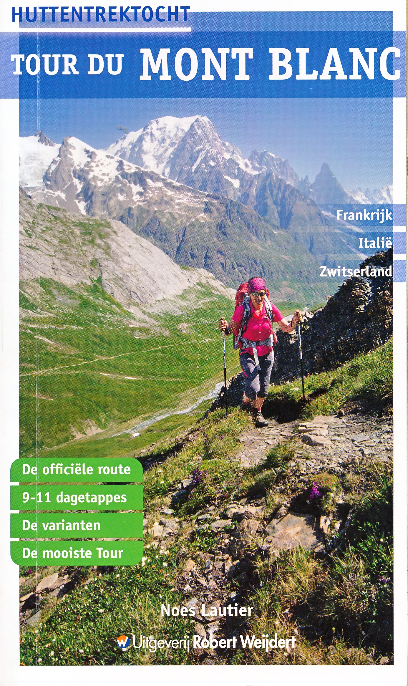
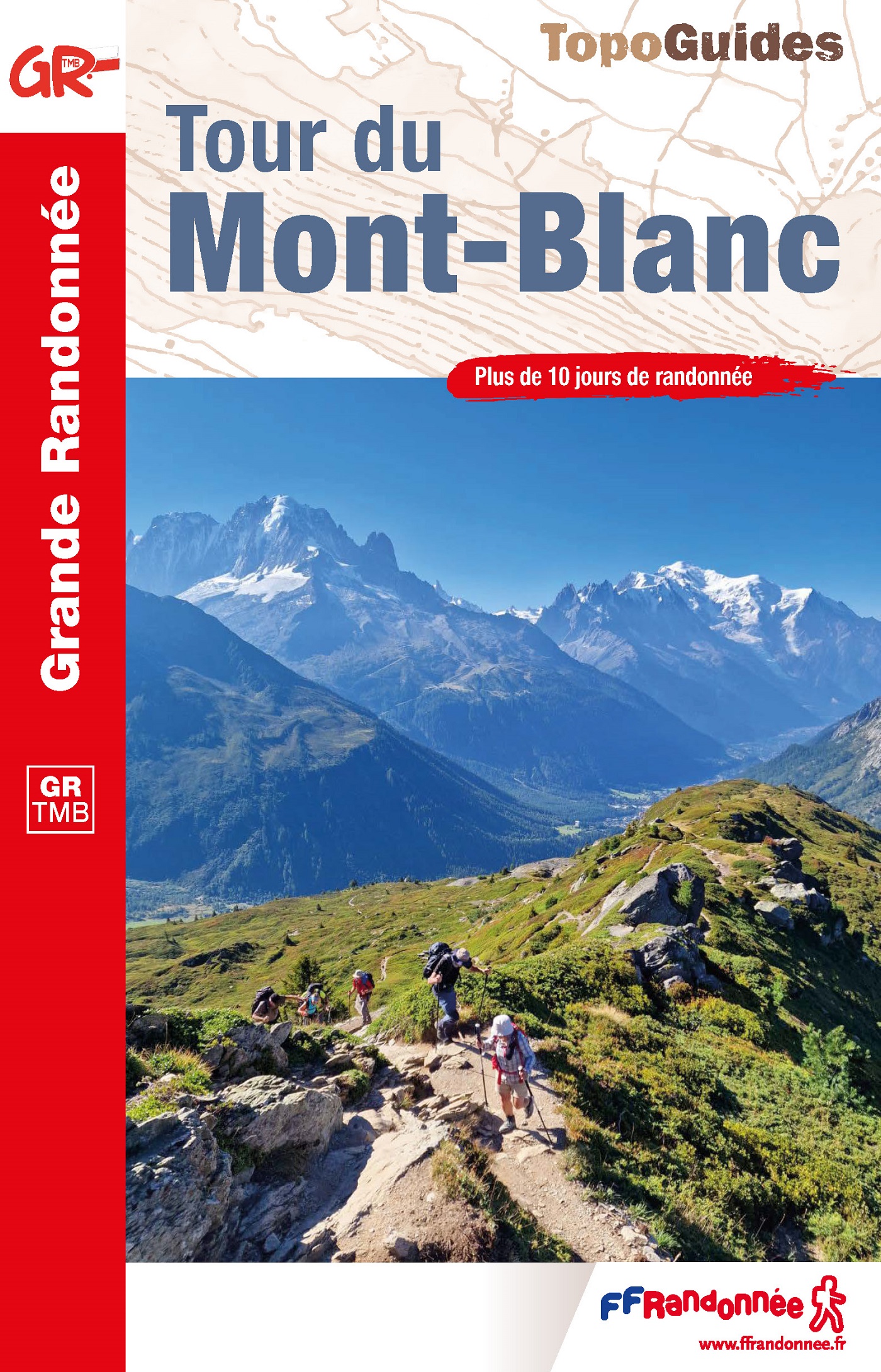
- Wandelgids Tour du Mont Blanc - Huttentrektocht | Robert Weijdert
- De Tour du Mont Blanc is een lange meerdaagse tocht rondom het hoogste massief van de Alpen. De route, die door Frankrijk, Italië en Zwitserland loopt en die gemiddeld twee weken in beslag neemt, is ook in Nederland zeer bekend geworden. De telkens wisselende landschappelijke beelden van hoge bergen, reusachtige gletsjers en lieflijke dalen... Read more
.jpg)
Netherlands
2009
- Reisgids Stadsgids 529 Linz | Kompass
- Staalindustrie en Cultuurhoofdstad? Linz is beide en nog veel meer. Met hoogtepunten en tips! Heel Linz in handzaamformaat met aktuele informatie, kaarten en goede foto´s! Read more

Netherlands
2020
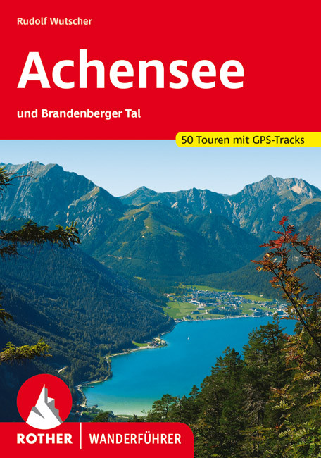
- Wandelgids 01 Achensee | Rother Bergverlag
- Uitstekende wandelgids met een groot aantal dagtochten in dal en hooggebergte. Met praktische informatie en beperkt kaartmateriaal! Wandelingen in verschillende zwaarte weergegeven in rood/blauw/zwart. Das Achenseegebiet blickt auf eine lange Tradition als Urlaubsregion zurück: Erster Erholungsort war wohl das Fürstenhaus zu Pertisau, das die... Read more
Netherlands
2017
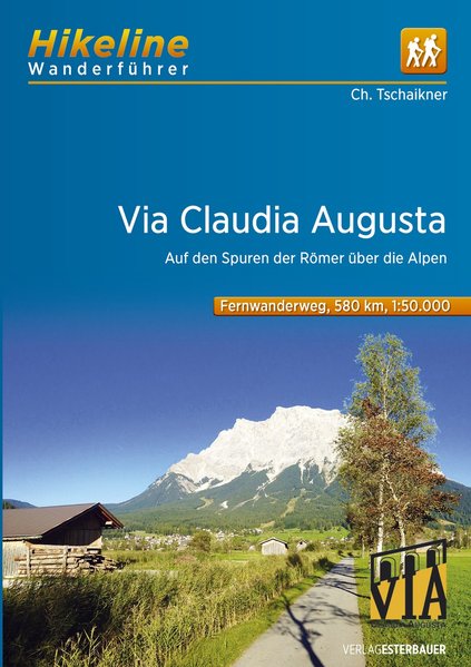
- Wandelgids Hikeline Via Claudia Augusta | Esterbauer
- Handzame gids met een goede beschrijving van Via Claudia Augusta. Via Claudia Augusta - entlang der alten Römerstraße entdecken Sie historische Relikte aus der Römerzeit; unberührte Naturlandschaften, idyllische Plätze an Flüssen; in Wäldern oder romantischen Städten. Dieser Fernwanderweg führt Sie auf den Spuren der Feldherren Drusus und... Read more
.jpg)
Netherlands
2019
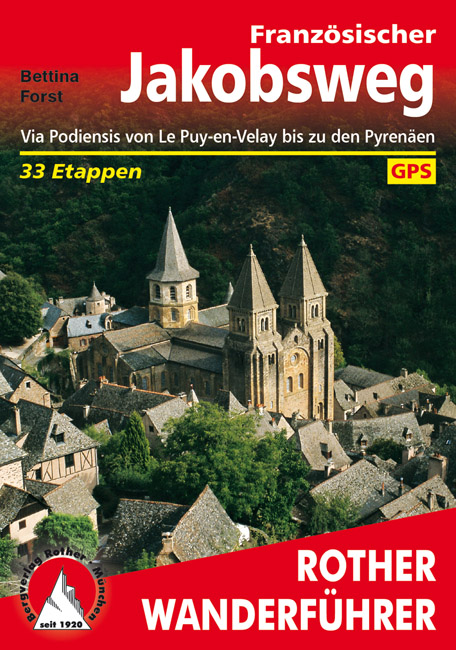
- Wandelgids - Pelgrimsroute 253 Französischer Jakobsweg GR65 | Rother Bergverlag
- Via Podiensis von Le Puy-en-Velay bis zu den Pyrenäen. 33 Etappen Rother Wanderführer. 4., aktualisierte Auflage. Read more
Netherlands
2015
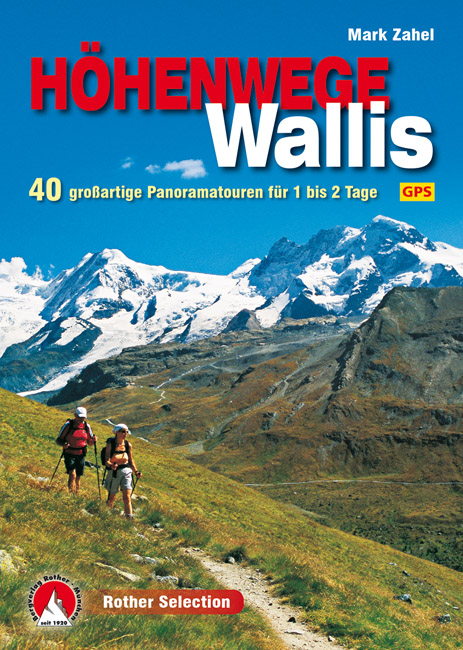
- Wandelgids Höhenwege im Wallis | Rother Bergverlag
- Een selectie van prachtige kortere tochten in Wallis: zeer goed beschreven met alle noodzakelijke informatie. Goede kaarten. 208 Seiten mit 201 Farbabbildungen 40 Höhenprofile, 40 Wanderkärtchen im Maßstab 1:50.000 und 1:75.000, Übersichtskarte, Tourenmatrix Mit dem Anblick seiner mächtigen Viertausender übt das Wallis unwiderstehliche Reize... Read more
Netherlands
2014
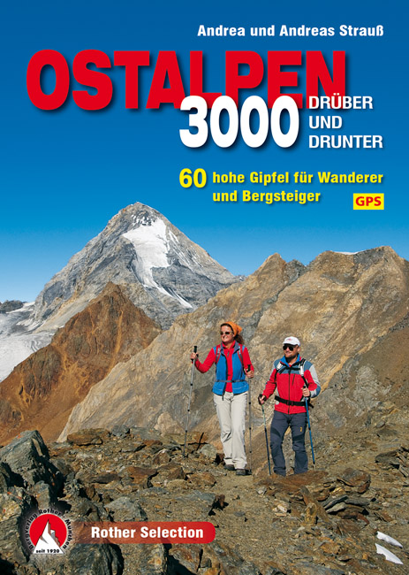
- Wandelgids 3000er Ostalpen. Drüber und drunter | Rother Bergverlag
- Die Gipfel um die Dreitausend Meter sind die Aussichtslogen der Ostalpen. Sie stehen auf der Wunschliste von Wanderern und Bergsteigern meist ganz weit oben. Zwischen Lechtaler Alpen, Ortler, Dolomiten und Tauern findet sich eine breite Auswahl an Bergzielen um diese magische Höhe. Einige lassen sich in einer Tagestour begehen, andere bieten... Read more
Netherlands
2022
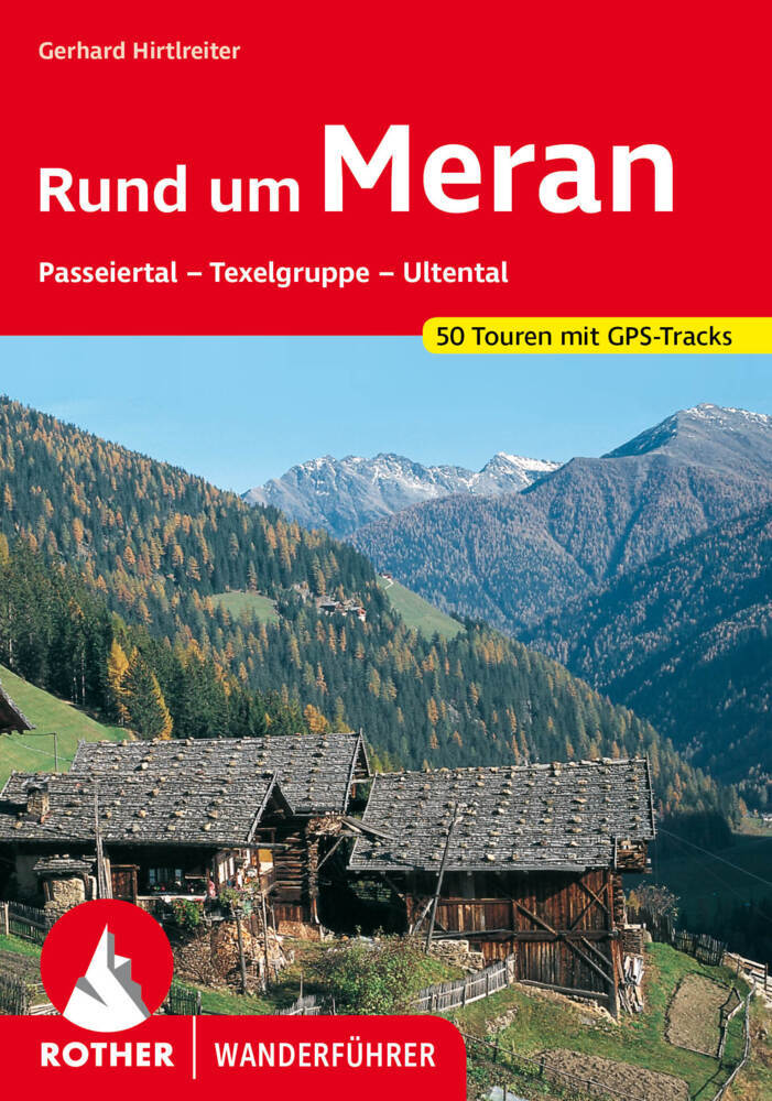
- Wandelgids 63 Rund um Meran - Merano | Rother Bergverlag
- Uitstekende wandelgids met 50 dagtochten in dal en hooggebergte. Met praktische informatie en beperkt kaartmateriaal! Wandelingen in verschillende zwaarte weergegeven in rood/blauw/zwart. Duits. Meran und Schloss Tirol waren der Mittelpunkt des alten Tirol. Heute bildet die Stadt Meran mit ihrer Umgebung ein beliebtes Ziel für Wanderer und... Read more
Kaarten

Netherlands
2017
- Wandelgids Der Meraner Höhenweg | Tappeiner Verlag
- Prachtig uitgevoerde wandelgids met veel foto's en uitgebreide tekst. Bijgevoegd een gedetailleerde kaart van 1:25.000 met de ingetekende route. De kaart is toereikend om te gebruiken op de route; op de achterkant staat dan de praktische informatie nog een extra vermeld. In diesem Buch über den Meraner Höhenweg werden einerseits die Entstehung... Read more

Netherlands
2016
- Wandelgids The Cretan Way E4 | Anavasi
- The Cretan Way is a 500km walking route which takes you from east to west across the varied and spectacular landscapes of Crete. It is the ideal way to discover the rural, mountainous and costal regions of this incredible island. This guide is based on a 28-day walk.This guide includes practical information, maps at a scale of 1:25.000 of... Read more
- Also available from:
- Stanfords, United Kingdom

United Kingdom
2016
- The Cretan Way - A 28 Day Walk
- The Cretan Way is a 500km walking route which takes you from east to west across the varied and spectacular landscapes of Crete. It is the ideal way to discover the rural, mountainous and costal regions of this incredible island. This guide is based on a 28-day walk.This guide includes practical information, maps at a scale of 1:25.000 of... Read more

Netherlands
2020
- Wandelatlas - Pelgrimsroute (kaart) 161 Chemins de Compostelle GR65 | Michelin
- Véritable petit atlas détaillant chaque étape avec indications précises concernant les villes de départ et d'arrivée ainsi que pour les localités traversées (auberges, refuges, restaurants, pharmacies, gare, épiceries, Km parcourus, Km restants....).Ce petit atlas suit le chemin du... Read more
Netherlands
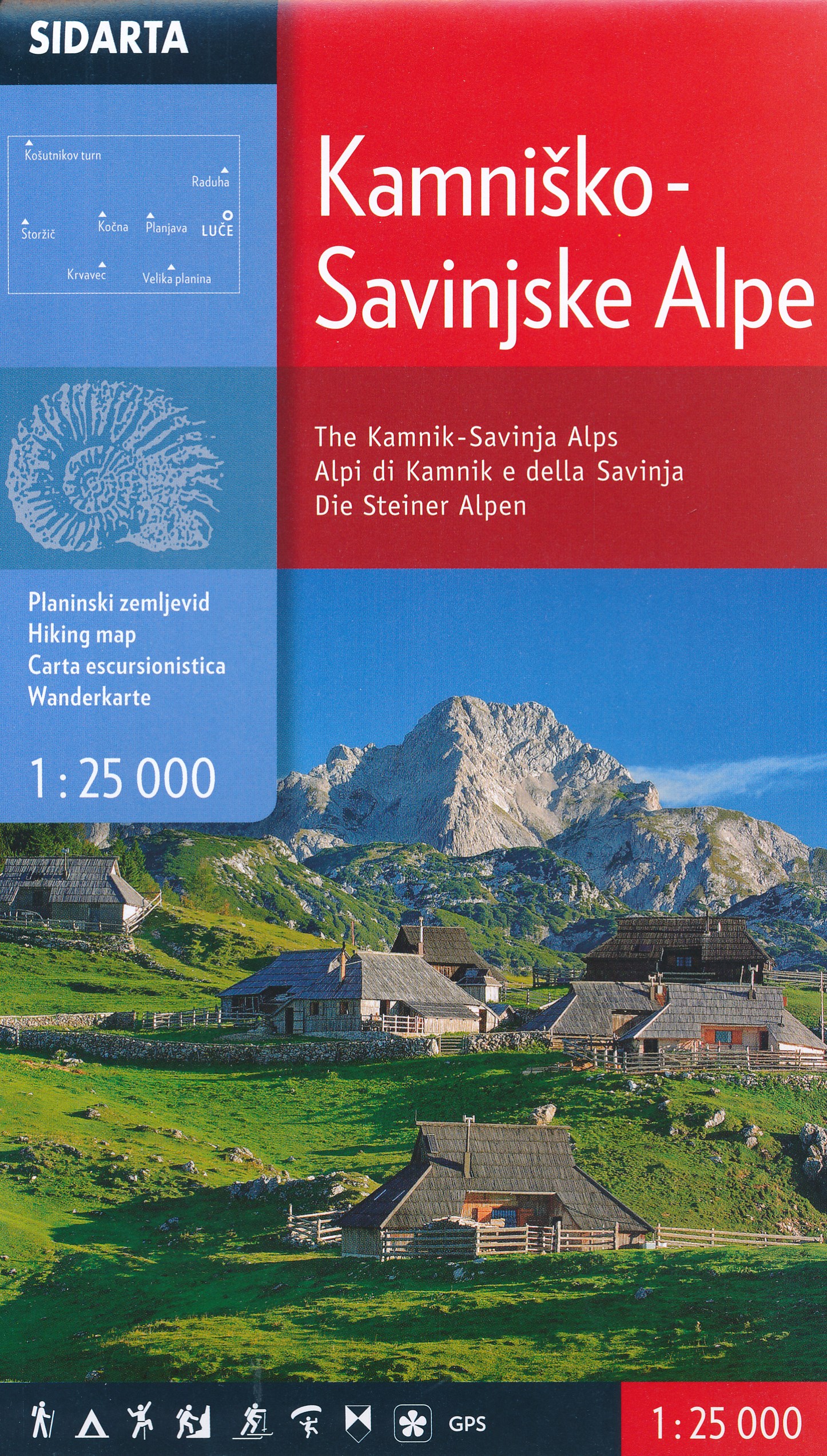
- Wandelkaart The Kamnik-Savinja Alps, Kamnisko Savinjske Alpe | Sidarta
- Deze dubbelzijdige detailkaart (1:25.000) heeft ingetekende wandelroutes waarbij met verschillende kleuren de moeilijkheidsgraad wordt aangegeven, een aanduiding van de berghutten (met op de achterzijde meer informatie over deze hutten als openingstijden en capaciteit) en andere handige zaken voor wandelaars. Zelfs benzinepompen en busstops... Read more
Netherlands
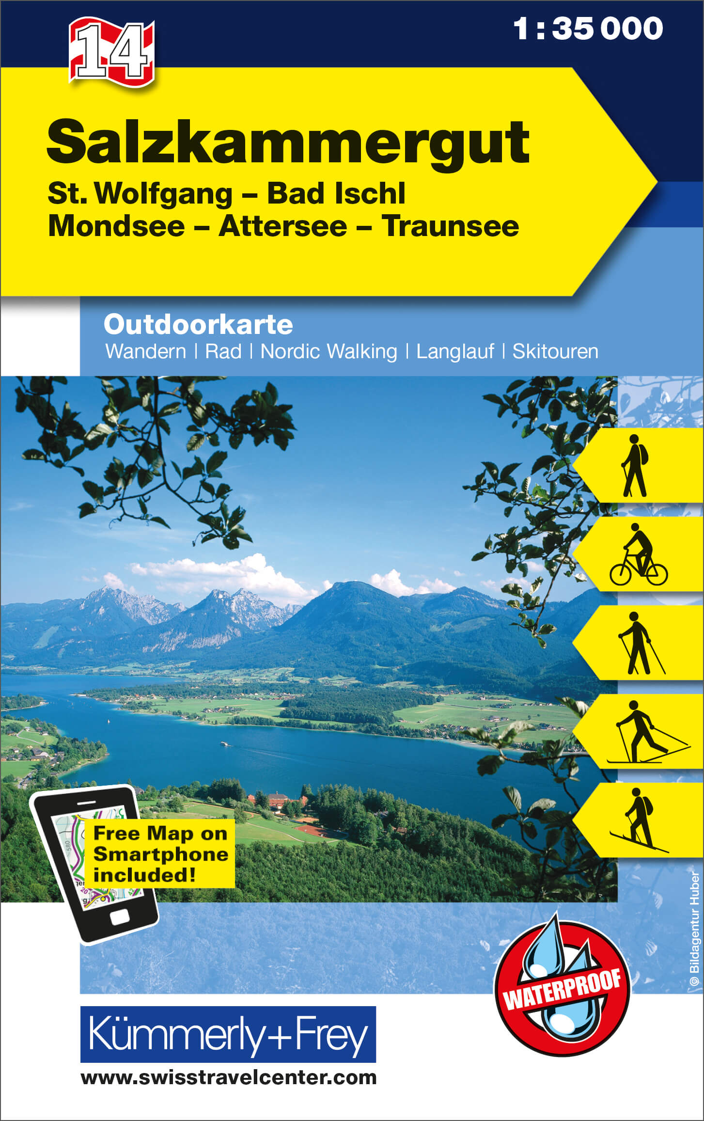
- Wandelkaart 14 Outdoorkarte AT Salzkammergut | Kümmerly & Frey
- Salzkammergut - St. Wolfgang - Bad Ischl - Mondsee - Attersee - Traunsee area of the Austrian Alps at 1:35,000 on a GPS compatible, double-sided map from Kümmerly+Frey printed on sturdy, waterproof and tear-resistant synthetic paper; contoured, with hiking, cycling and ski routes, accommodation facilities, locations for other recreational... Read more
- Also available from:
- Stanfords, United Kingdom

United Kingdom
- Salzkammergut - St. Wolfgang - Bad Ischl - Mondsee - Attersee - Traunsee K+F Outdoor Map 14
- Salzkammergut - St. Wolfgang - Bad Ischl - Mondsee - Attersee - Traunsee area of the Austrian Alps at 1:35,000 on a GPS compatible, double-sided map from Kümmerly+Frey printed on sturdy, waterproof and tear-resistant synthetic paper; contoured, with hiking, cycling and ski routes, accommodation facilities, locations for other recreational... Read more
Netherlands
- Also available from:
- Stanfords, United Kingdom

United Kingdom
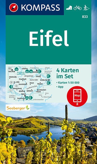
- Eifel 4-Map Set Kompass 833
- The Eifel region of Germany at 1:50,000 on a set of four double-sided, contoured and GPS compatible maps from Kompass with local and long-distance footpaths, cycling routes, accommodation, etc. Coverage extends from Aachen to the Rhine between Bonn and Koblenz, south to the Moselle, and includes most of the Hohes Venn / Hautes Fagnes Natural... Read more
Netherlands
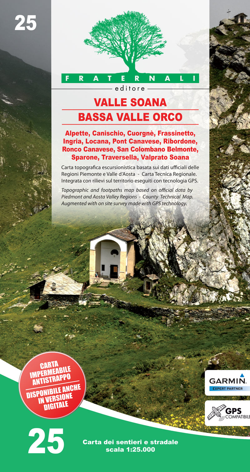
- Wandelkaart 25 Valle Soana, Bassa Valle Orco | Fraternali Editore
- Valli di Lanzo in the Italian Alps presented at 1:25,000 in a series of large, contoured and GPS compatible walking maps from Fraternali Editore, printed on light, waterproof and tear-resistant synthetic paper. Maps in this series have topography shown by contour lines at 5m intervals with relief shading, spot heights, and colouring and/or... Read more
- Also available from:
- Stanfords, United Kingdom

United Kingdom
- Valle Soana - Bassa Valle Orco
- Valli di Lanzo in the Italian Alps presented at 1:25,000 in a series of large, contoured and GPS compatible walking maps from Fraternali Editore, printed on light, waterproof and tear-resistant synthetic paper. Maps in this series have topography shown by contour lines at 5m intervals with relief shading, spot heights, and colouring and/or... Read more
Netherlands
- Also available from:
- Stanfords, United Kingdom

United Kingdom
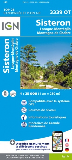
- Sisteron - Laragne-Monteglin - Montagne de Chabre IGN 3339OT
- Topographic survey of France at 1:25,000 in IGN`s excellent TOP25 / Série Bleue series. All the maps are GPS compatible, with a 1km UTM grid plus latitude and longitude lines at 5’ intervals. Contours are at 5m intervals except for mountainous areas where the maps have contours at 10m intervals, vividly enhanced by hill shading and graphics for... Read more
Netherlands
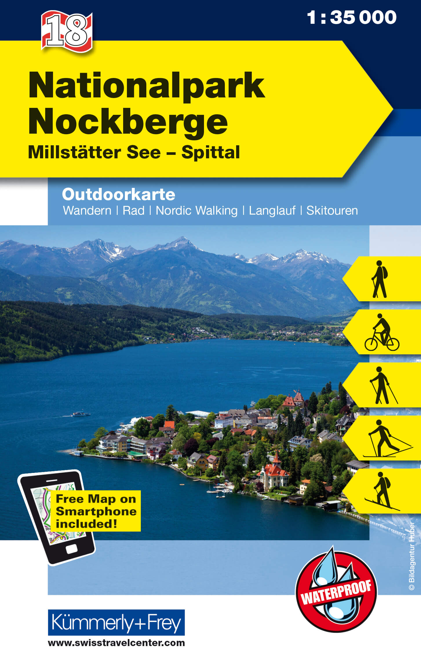
- Wandelkaart 18 Outdoorkarte AT Nockberge | Kümmerly & Frey
- Nationalpark Nockberge - Millstätter See - Spittal region of the Austrian Alps at 1:35,000 on a GPS compatible, double-sided map from Kümmerly+Frey printed on sturdy, waterproof and tear-resistant synthetic paper; contoured, with hiking, cycling and ski routes, accommodation facilities, locations for other recreational activities, etc.Maps in... Read more
- Also available from:
- Stanfords, United Kingdom

United Kingdom
- Nationalpark Nockberge - Millstätter See - Spittal K+F Outdoor Map 18
- Nationalpark Nockberge - Millstätter See - Spittal region of the Austrian Alps at 1:35,000 on a GPS compatible, double-sided map from Kümmerly+Frey printed on sturdy, waterproof and tear-resistant synthetic paper; contoured, with hiking, cycling and ski routes, accommodation facilities, locations for other recreational activities, etc.Maps in... Read more
Netherlands
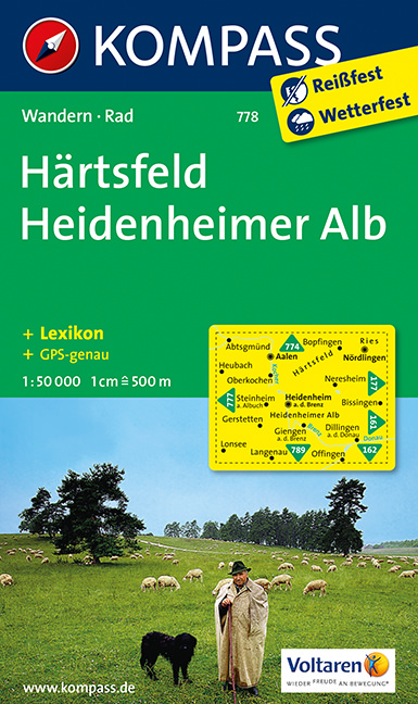
- Wandelkaart 778 Härtsfeld - Heidenheimer Alb | Kompass
- Goede wandelkaart met vrijwel alle topografische details en ingetekende routes. Ook met symbolen voor toeristische bezienswaardigheden, register. Berghutten duidelijk weergegeven. Gevaarlijke wandelroutes zijn goed herkenbaar. Read more